Elevation of Alexandria, IN, USA

Location: United States > Indiana > Madison County > Monroe Township >

Longitude: -85.675809

Latitude: 40.2628184

Elevation: 265m / 869feet

Barometric Pressure: 98KPa

Elevation Map:

elevation map of Alexandria, IN, USA

Satellite Map:

Satellite map of Alexandria, IN, USA

Related Photos:

macro nature field grass closeup sunrise fence outside spring still nikon soft glow quiet peace silent dof softness fluffy peaceful surface calm seedhead silence extremecloseup photofriday hush stillness surfaces wholesome glows d40 sooc jeremystockwellpix nikond40 reversed1855 inverted1855 photofridaywholesome photofridayextremecloseup gaitherspring
The Grander View
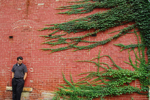
selfportrait brick me wall nikon pattern patterns vine surface brickwall surfaces manvsnature d40 jeremystockwell selfportraitchallenge jeremystockwellpix nikond40
man vs. nature
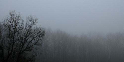
trees mist tree misty fog dark still nikon soft quiet peace silent softness peaceful calm silence photofriday hush stillness bestseenlarge d40 jeremystockwellpix autumnmist nikond40 photofridaymisty
Autumn Mist
wall indiana advertisement mailpouch tobacco madisoncounty
Indiana, Elwood, Mail Pouch (16,221c)
wall indiana advertisement mailpouch tobacco madisoncounty
Indiana, Elwood, Mail Pouch (16,221)
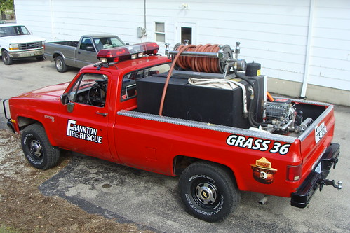
heritage festival truck fire police indiana days parade ambulance department frankton
Grass 36 top view
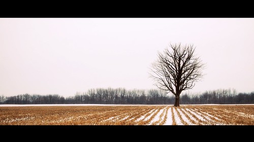
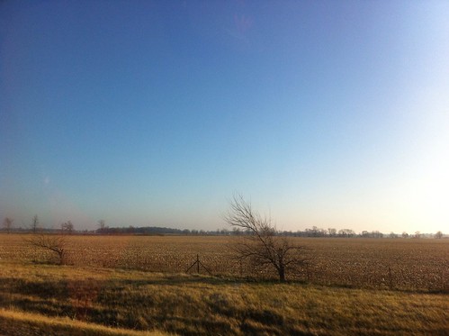
trees winter sky white snow tree nature field one 1 still nikon quiet peace silent peaceful calm silence hush stillness lonelytree fromwindow d40 jeremystockwellpix nikond40
Among the Rows
square squareformat iphoneography instagramapp uploaded:by=instagram
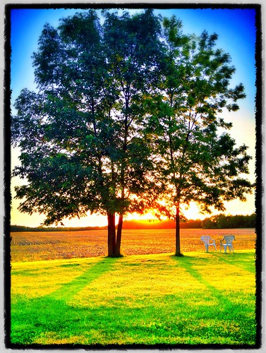
Photo made by InstaPlace #instaplace #instaplaceapp #android #alexandria #unitedstates #day #summer #us
Summer dream
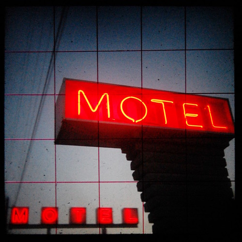
old city urban sign vintage grid twilight nikon neon glow power dusk motel cable powerlines anderson cables wires photofriday groundlevel vignette yashica oldsign urbanlandscape lowperspective vintagesign yashicamat glows groundglass d40 ttv throughtheviewfinder jeremystockwellpix andersonindiana twtmewpcjs nikond40 cableicious johnsonsmotel photofridaydusk yashicattv yashicamatttv
Motel MOTEL (ttv)
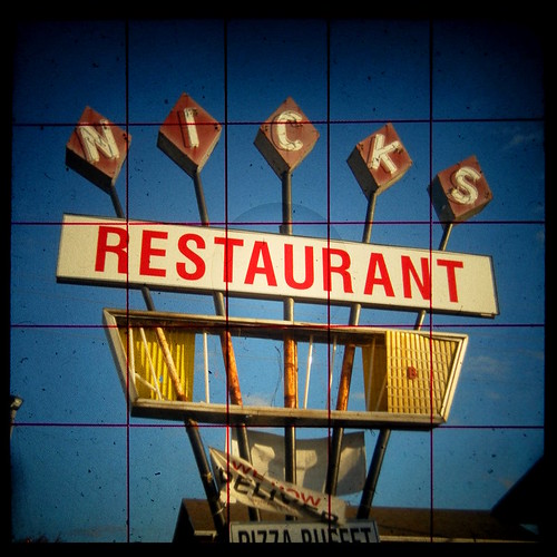
old city urban broken sign vintage grid nikon anderson damage photofriday weathered groundlevel damaged nicks vignette yashica oldsign urbanlandscape lowperspective vintagesign yashicamat groundglass d40 ttv throughtheviewfinder jeremystockwellpix andersonindiana nikond40 nicksrestaurant photofridayweathered yashicattv yashicamatttv
Nick's Restaurant (ttv)
From the heavens above
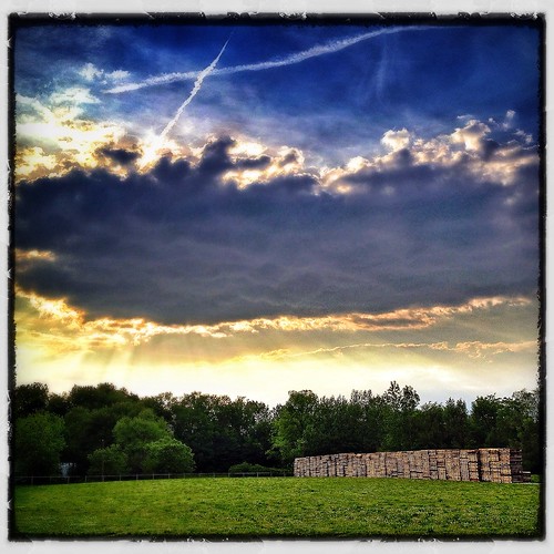
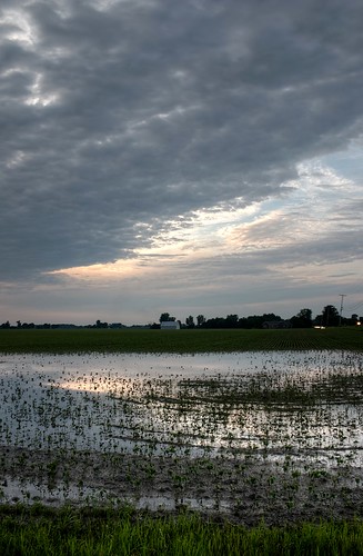
Beautiful sky tonight.
sunset
Sunset Shady Side
Xmas eve morning in rural Indiana.
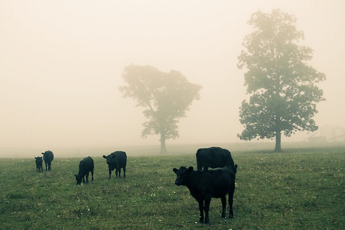
trees mist tree nature field misty fog cow nikon cattle cows farm foggy grazing graze d40 jeremystockwellpix nikond40
Cattle Farm in the Fog 1
The One That Got Away
trees mist tree nature field misty fog cow nikon cattle cows farm foggy grazing graze d40 jeremystockwellpix nikond40
Cattle Farm in the Fog 2
Beautiful sky tonight.
square squareformat amaro iphoneography instagramapp uploaded:by=instagram foursquare:venue=4c264093136d20a18ffae461
Winter Sunset
bw tree nature landscape one 1 still nikon quiet peace silent peaceful calm silence photofriday hush stillness motionless lonelytree d40 jeremystockwellpix nikond40 photofridaymotionless
The Calm
sky fall amature
Clear Lake
Pumpkin Patch
city 2 two urban brick green square nikon bricks surface study surfaces urbanlandscape d40 jeremystockwellpix nikond40
Green Square 02
flowers plant tractor flower green field wheel yellow nikon automobile farm farming wheels goldenrod surface wildflowers surfaces planting johndeere fromwindow d40 jeremystockwellpix nikond40 myindianasummer
Oh Deere
sunset fall creek river indiana
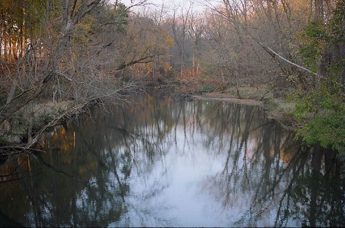
Killbuck Creek
grass yellow nikon dandelion vignette dandelions d40 jeremystockwellpix nikond40
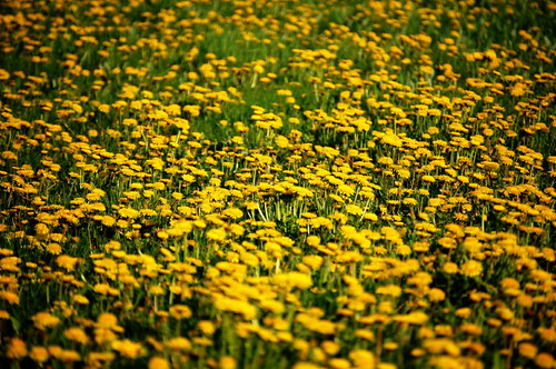
Dandelion Field