Elevation of Albion, IN, USA
Location: United States > Indiana > Noble County > Albion Township >
Longitude: -85.4244241
Latitude: 41.3956043
Elevation: 291m / 955feet
Barometric Pressure: 0KPa
Related Photos:
Wolcottville, Indiana InterlockingTower

The view from here.
Blue on Bixler Lake
industry at sunset

Spring Repose

Wolcottville, Indiana Tower 1969

Auburn Beauty... front view

Rear view of the Kline Kar Racer

Dogs Eye View

Killer Lightning Bug

1946 MG TC

Geobash Trading Pins
A golden view

Yellow on purple
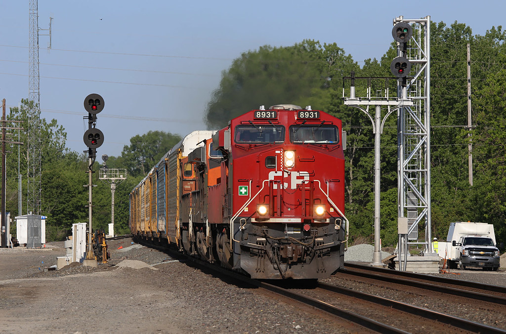
Canadian Pacific #8931 Kendallville, Indiana

School Desk

Indiana Farm at 5:38 pm
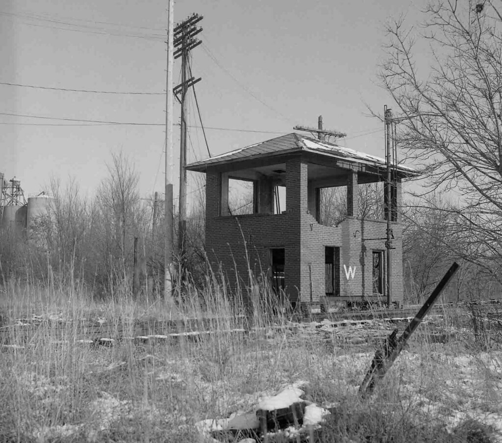
Wolcottville, Indiana Tower 1987

KTR_Kendallville-IN_PERX16_122809-1
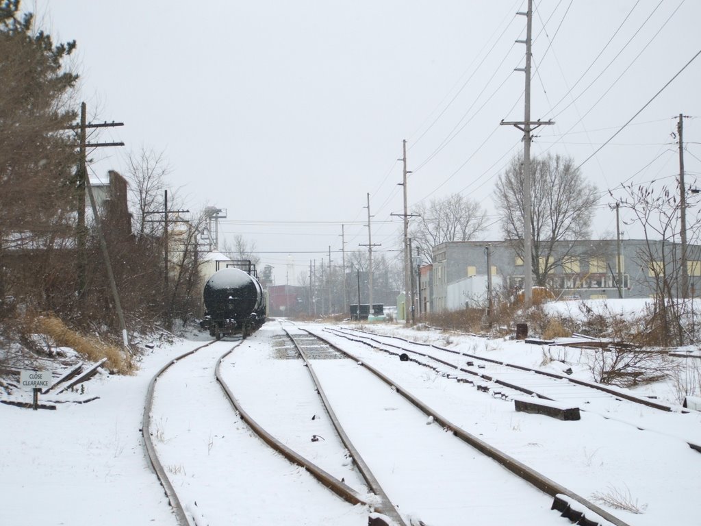
KTR_Kendallville-IN_SouthViewROW_122809-1
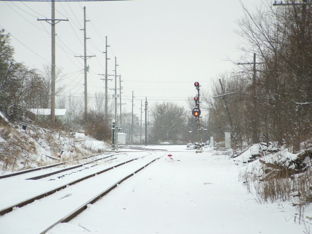
KTR_Kendallville-IN_NorthViewROW_122809-1

Golden Pathway

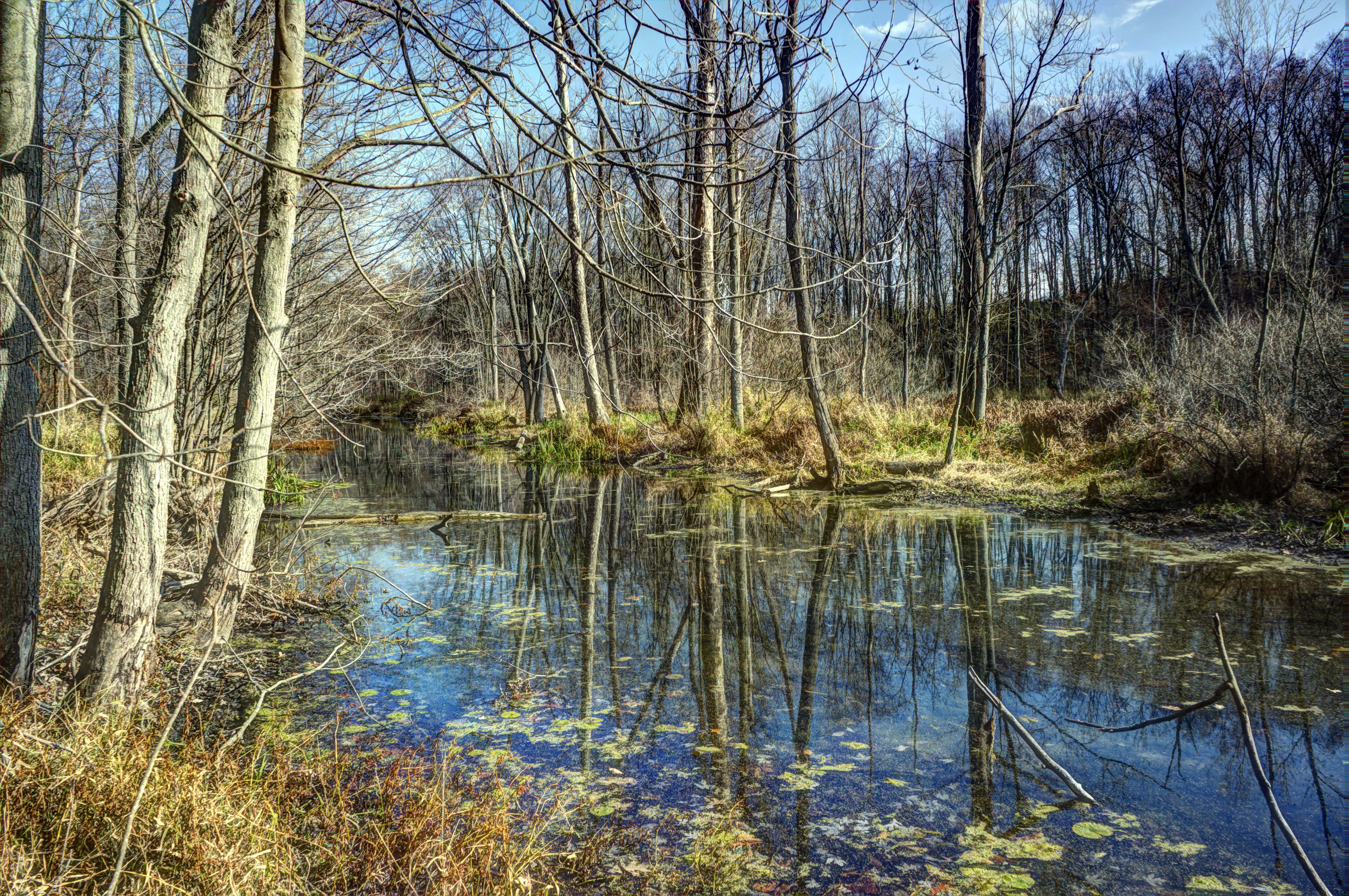
Kesling Wetland and Farmstead

The Other Side

Back to Kesling

Luckey's Lane of Merry Lea Center

Bear Lake Prairie on Trail K

Kesling Wetland
Prairie Grass

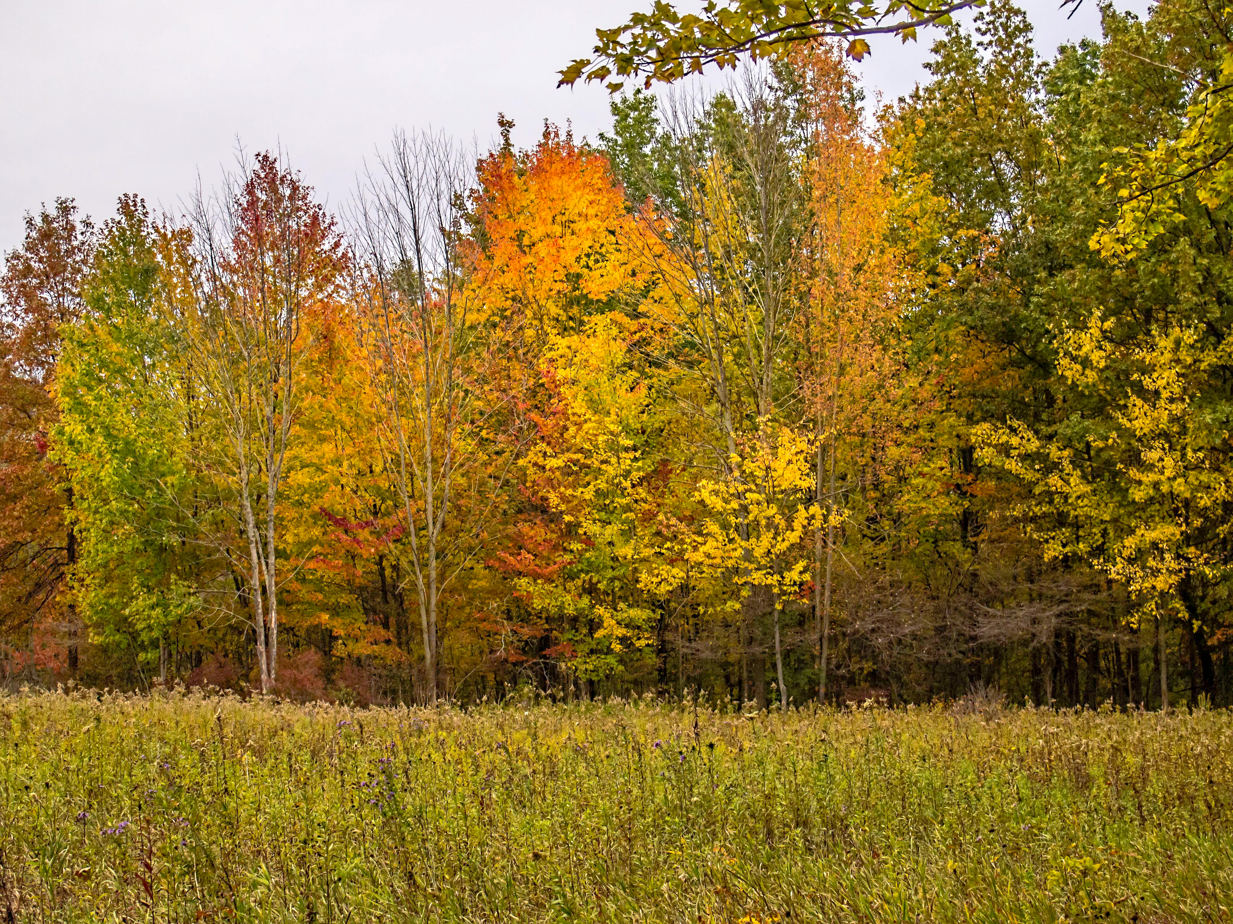
Fall Evening at the Farm
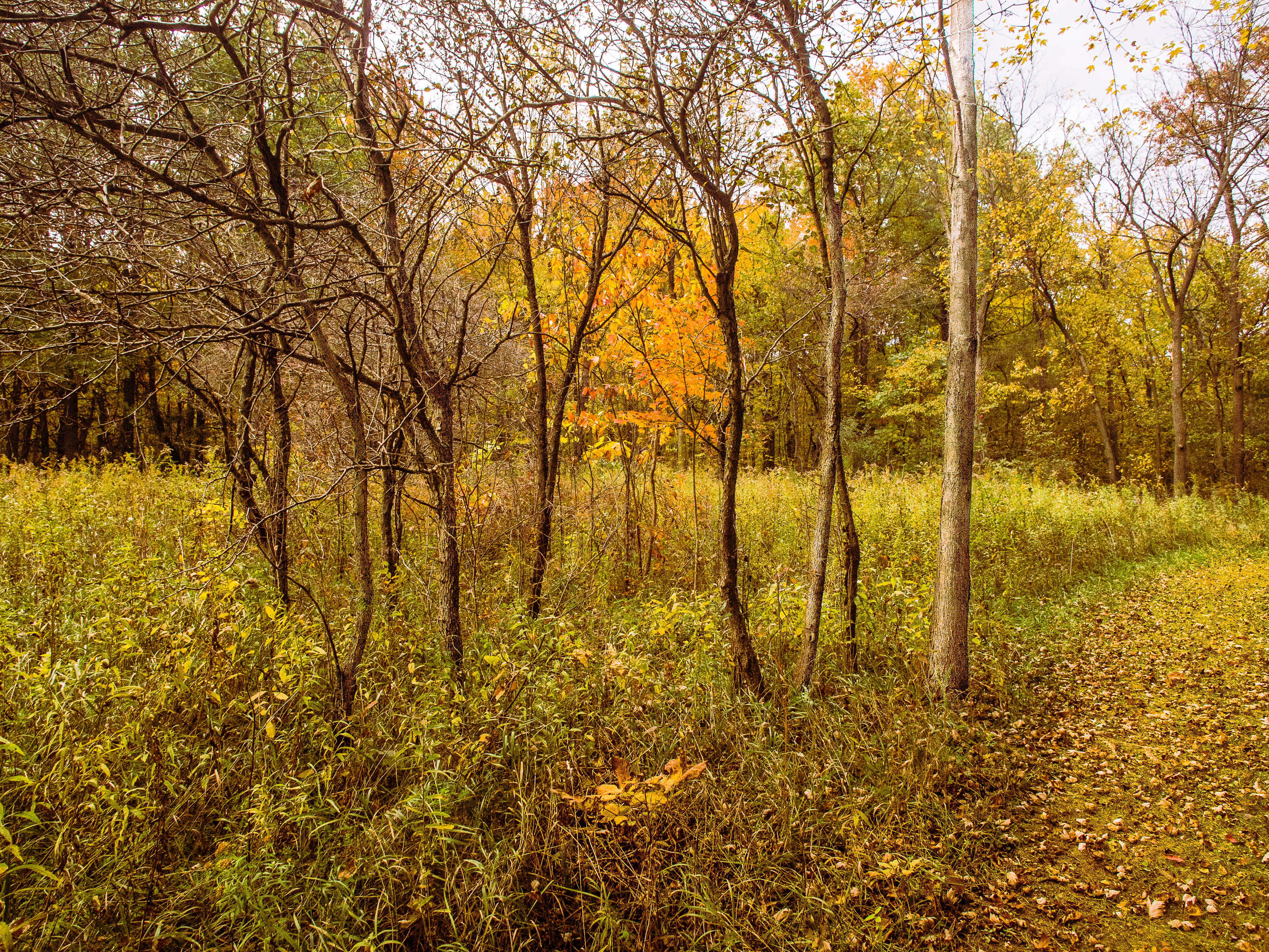
Leaves by the Hundreds Came

Gold and Blue

Sky, Sun and Field
Chain O Lakes
Mary's Meadow and Forest

#Chain #O' #Lakes #State #Park

In the Sun

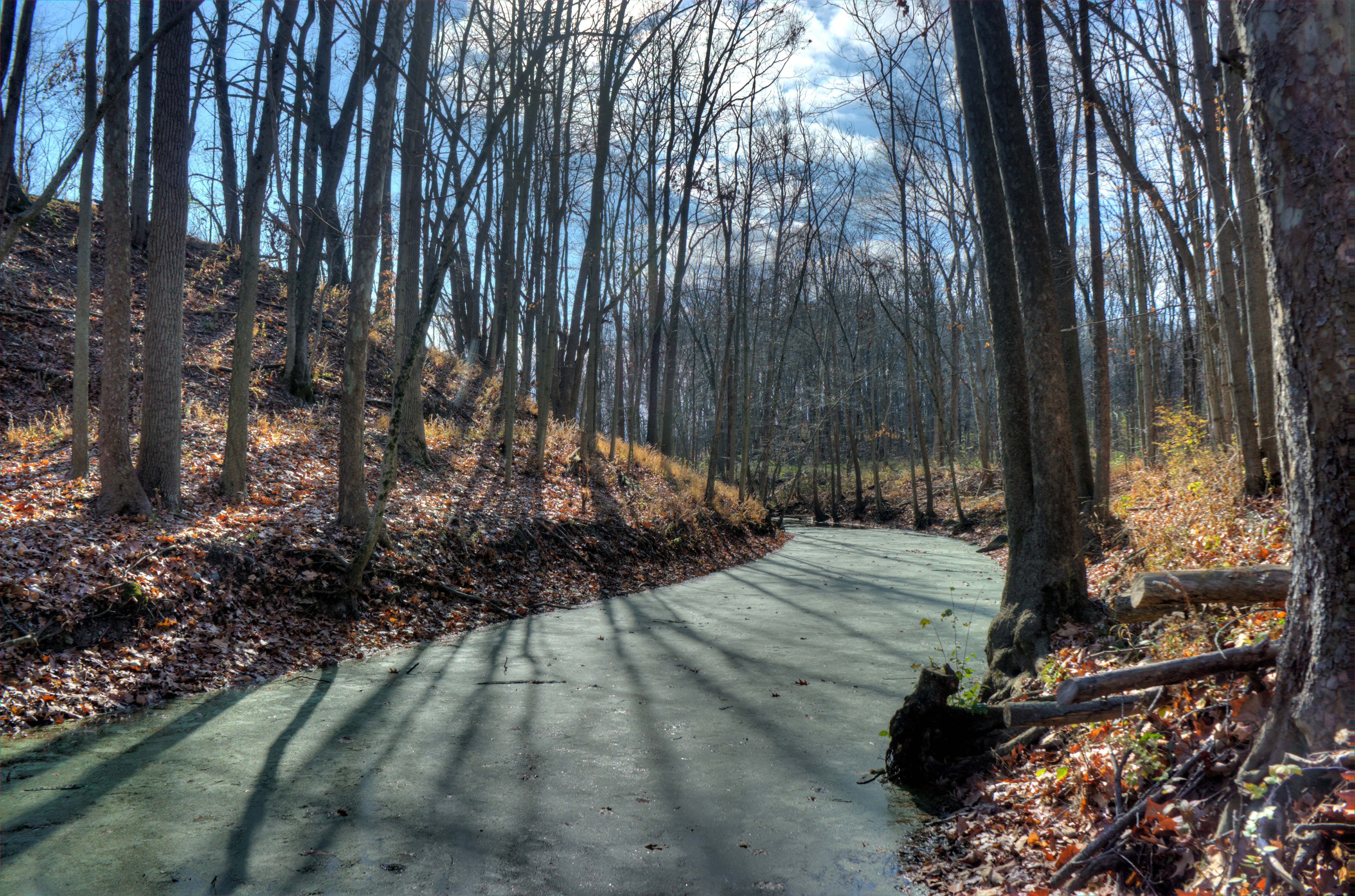
Walking Bridge Trail K
Chain O Lakes SP

Onion Bottoms Wetland

2013 - May

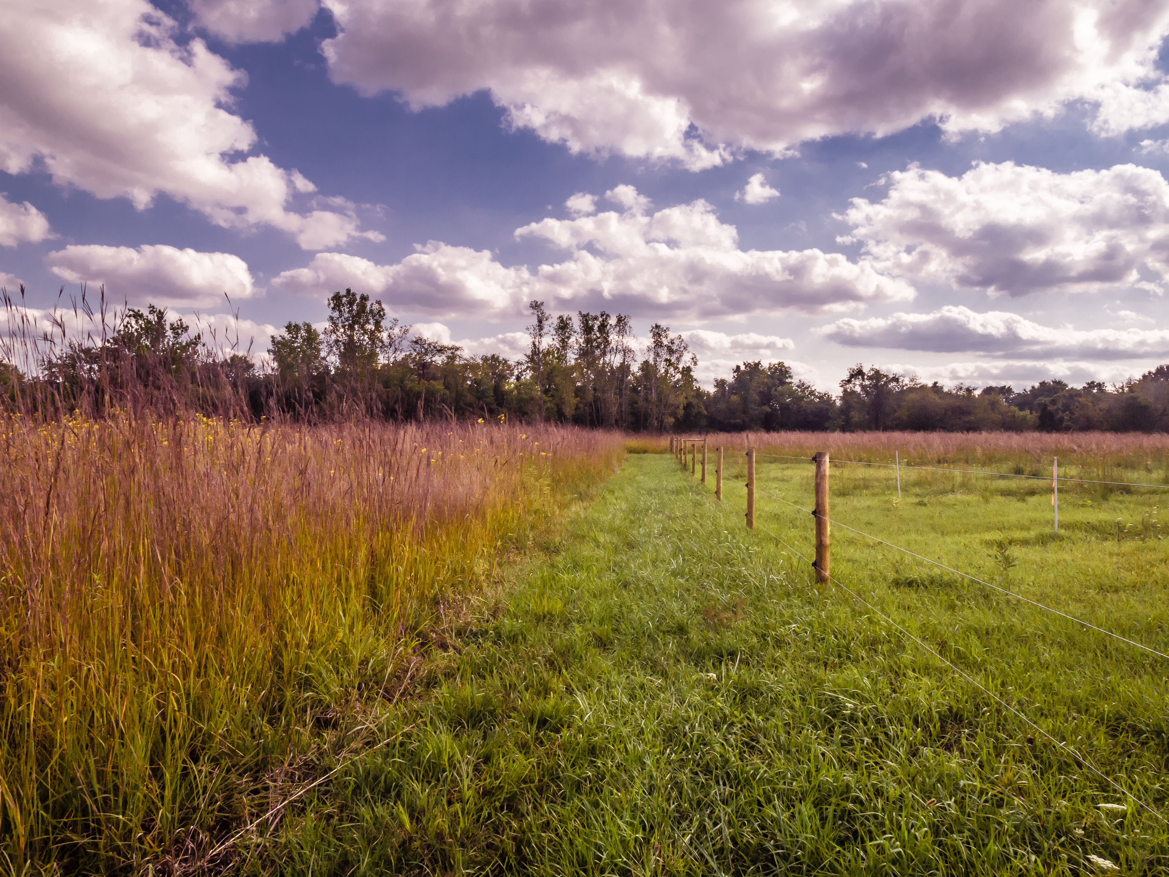
Fenced Meadow
Topographic Map of Albion, IN, USA
Find elevation by address:

Places in Albion, IN, USA:
Places near Albion, IN, USA:
W N, Albion, IN, USA
Albion Township
1613 Progress Dr
Noble County
E 75 S, Albion, IN, USA
441 S 400 E
W Lisbon Rd, Kendallville, IN, USA
Kendallville
E Rush St, Kendallville, IN, USA
Allen Township
Kendallville Muni Airport-c62
Wakefield Village Blvd, Kendallville, IN, USA
Swan
Avilla
Wayne Township
11669 E 415 N
Old State Rd 3, Avilla, IN, USA
Corunna
Michigan Ave, Corunna, IN, USA
Richland Township
Recent Searches:
- Elevation of 8, Rue de Bécancour, Blainville, Thérèse-De Blainville, Quebec, J7B1N2, Canada
- Elevation of Wilmot Court North, 163, University Avenue West, Northdale, Waterloo, Region of Waterloo, Ontario, N2L6B6, Canada
- Elevation map of Panamá Province, Panama
- Elevation of Balboa, Panamá Province, Panama
- Elevation of San Miguel, Balboa, Panamá Province, Panama
- Elevation of Isla Gibraleón, San Miguel, Balboa, Panamá Province, Panama
- Elevation of 4655, Krischke Road, Schulenburg, Fayette County, Texas, 78956, USA
- Elevation of Carnegie Avenue, Downtown Cleveland, Cleveland, Cuyahoga County, Ohio, 44115, USA
- Elevation of Walhonding, Coshocton County, Ohio, USA
- Elevation of Clifton Down, Clifton, Bristol, City of Bristol, England, BS8 3HU, United Kingdom
- Elevation map of Auvergne-Rhône-Alpes, France
- Elevation map of Upper Savoy, Auvergne-Rhône-Alpes, France
- Elevation of Chamonix-Mont-Blanc, Upper Savoy, Auvergne-Rhône-Alpes, France
- Elevation of 908, Northwood Drive, Bridge Field, Chesapeake, Virginia, 23322, USA
- Elevation map of Nagano Prefecture, Japan
- Elevation of 587, Bascule Drive, Oakdale, Stanislaus County, California, 95361, USA
- Elevation of Stadion Wankdorf, Sempachstrasse, Breitfeld, Bern, Bern-Mittelland administrative district, Bern, 3014, Switzerland
- Elevation of Z024, 76, Emil-von-Behring-Straße, Marbach, Marburg, Landkreis Marburg-Biedenkopf, Hesse, 35041, Germany
- Elevation of Gaskill Road, Hunts Cross, Liverpool, England, L24 9PH, United Kingdom
- Elevation of Speke, Liverpool, England, L24 9HD, United Kingdom