Elevation of Alabama St, Carrabelle, FL, USA
Location: United States > Florida > Franklin County > Carrabelle >
Longitude: -84.610627
Latitude: 29.8727518
Elevation: 7m / 23feet
Barometric Pressure: 101KPa
Elevation Map:
Satellite Map:
Related Photos:
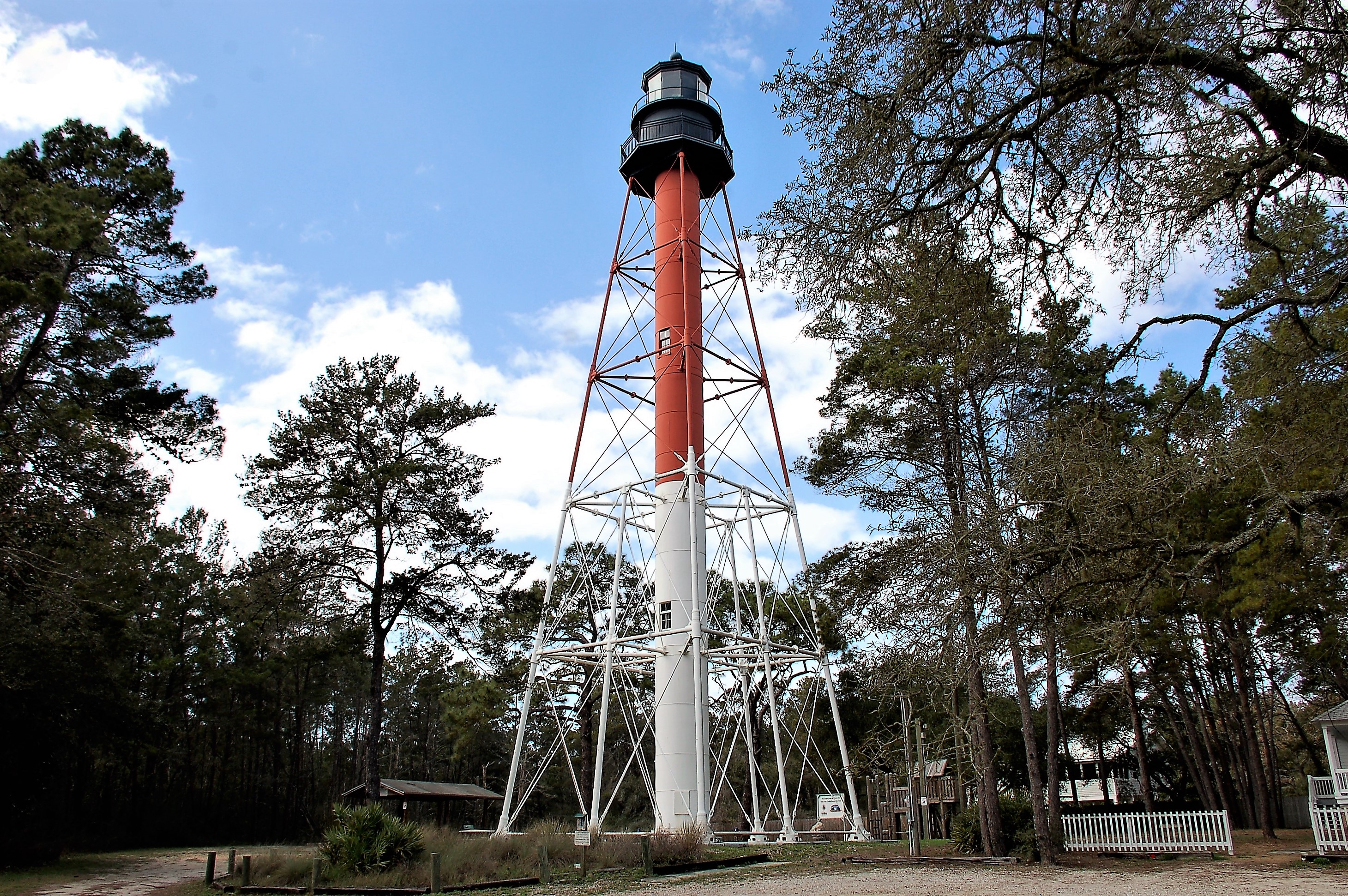
Florida, Carrabelle, Franklin County, Crooked River Lighthouse (2,177-2)
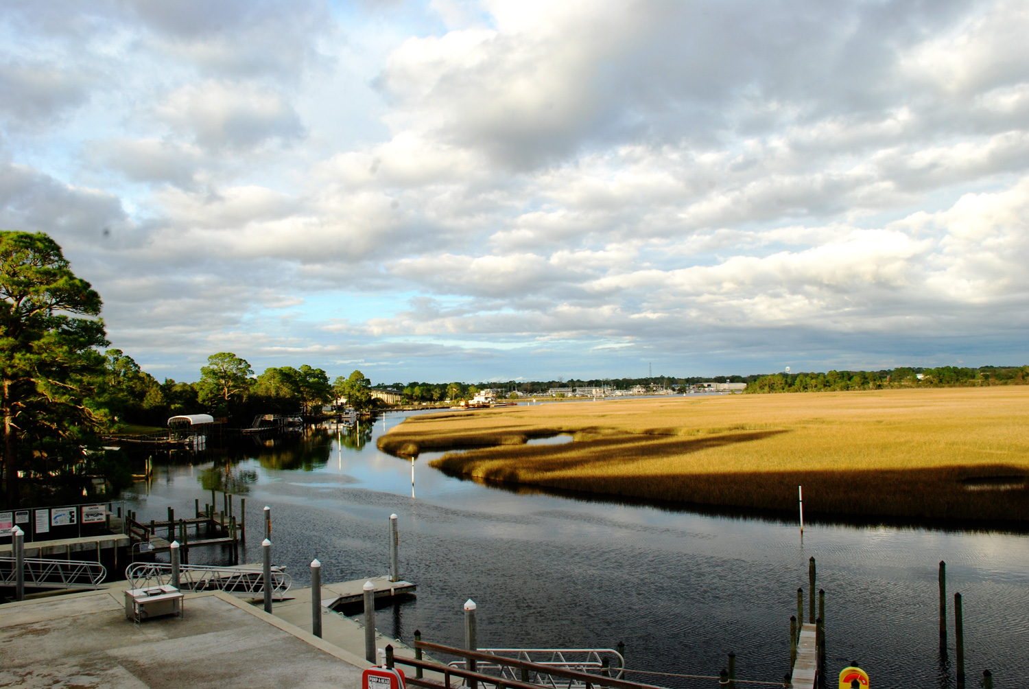
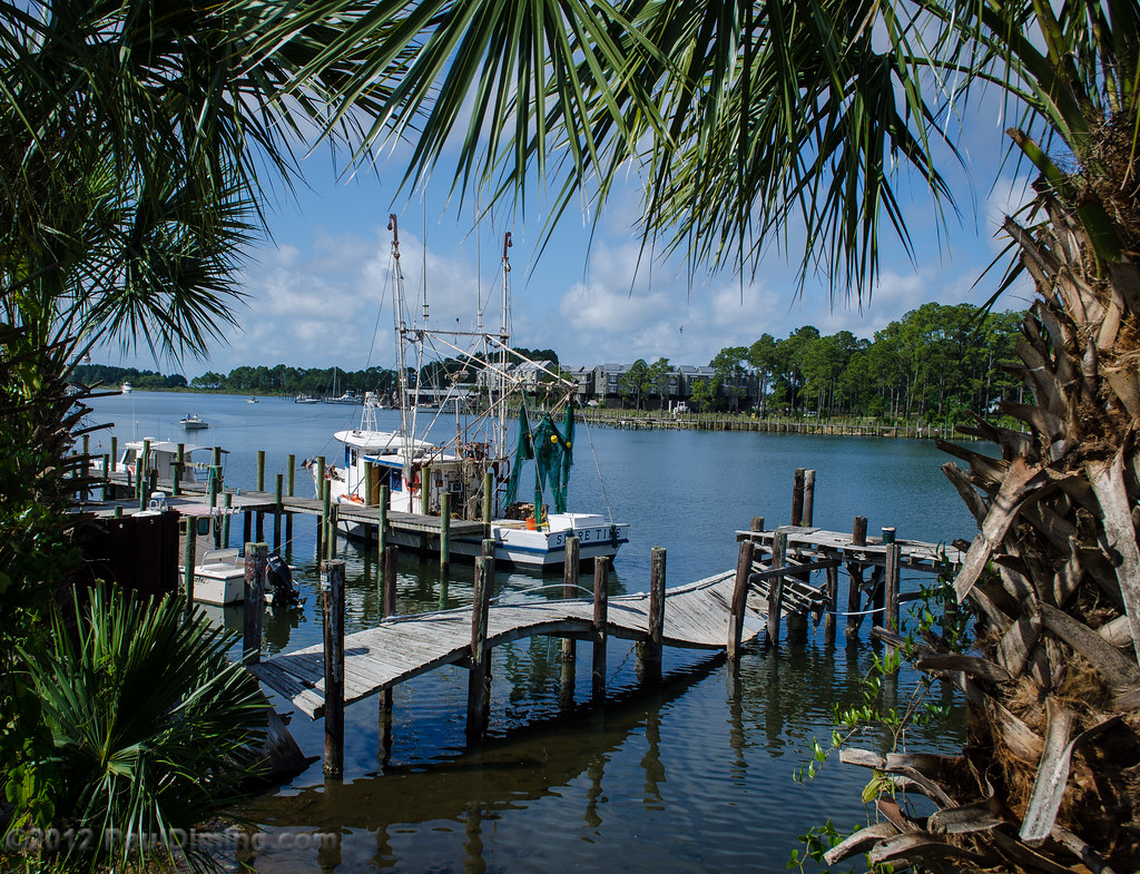
View from the Boat Club
View from the Boat Club

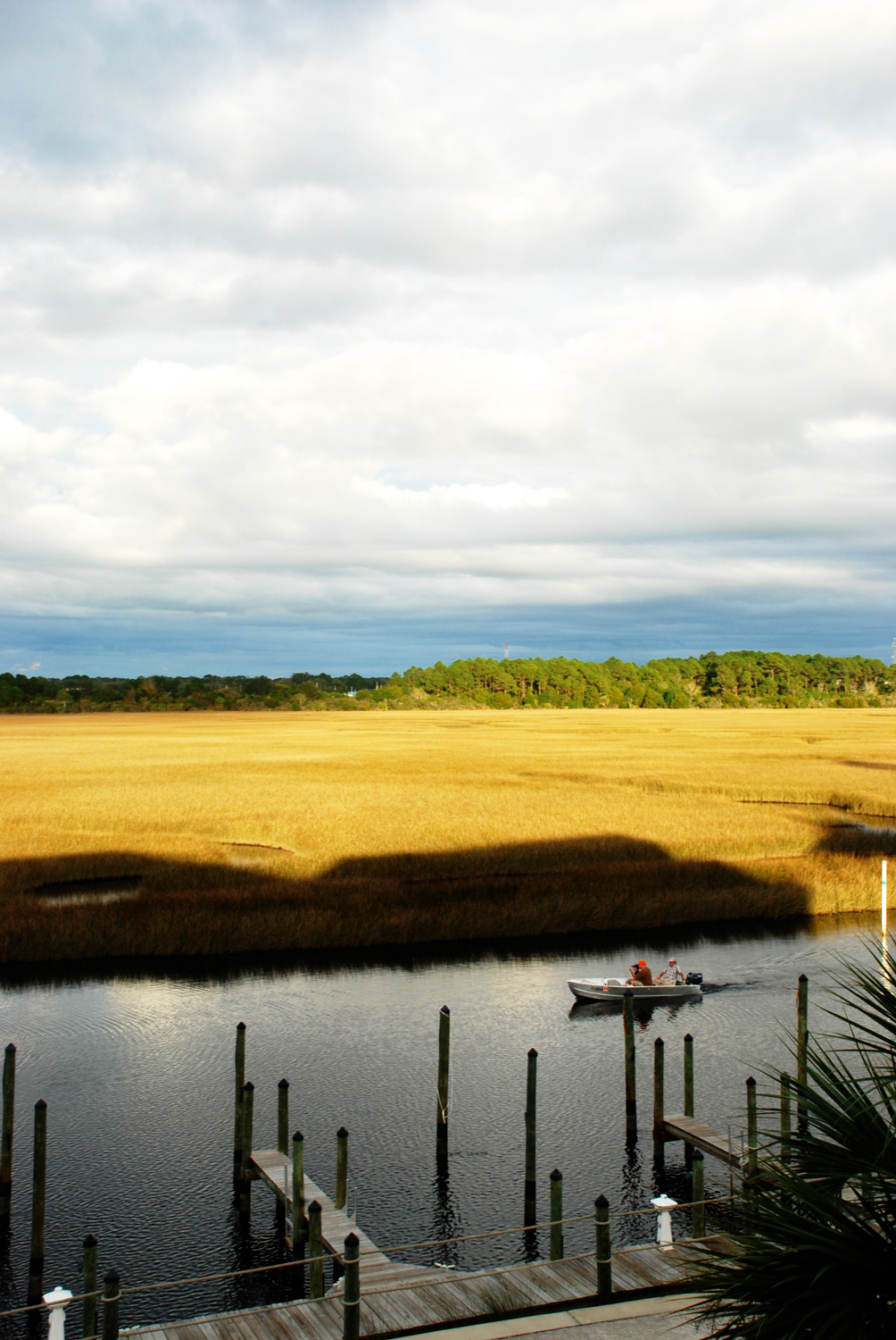
Carrabelle and Dog Island
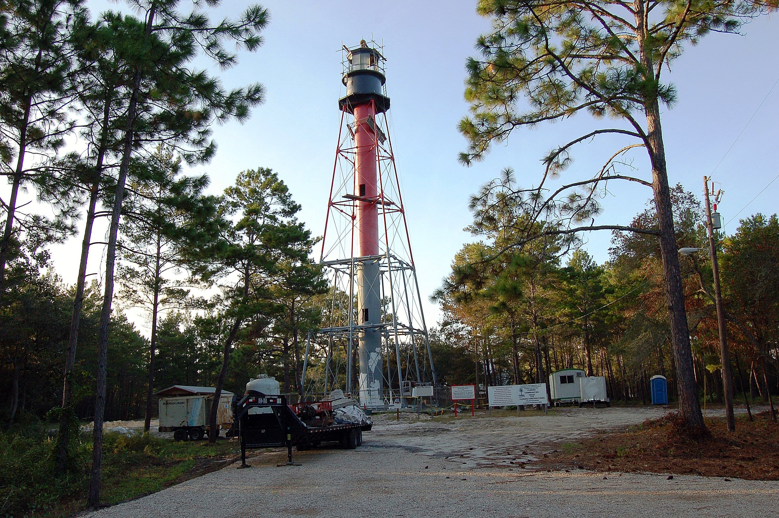
Florida, Carrabelle, Franklin County, Crooked River Lighthouse (2,177)
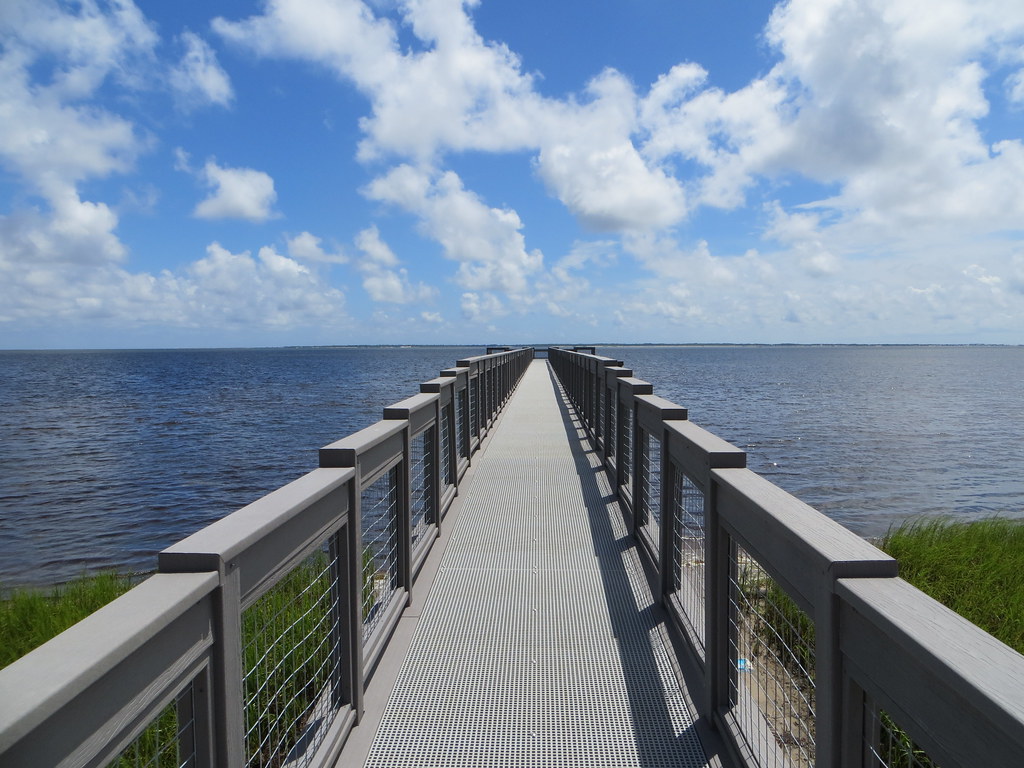
Dock Island View Park Franklin Co FL
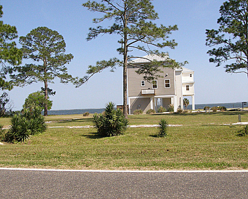
Unique Housing Design on the Florida Gulf Coast near Carrabelle - US98 - Hypotenuse Trail
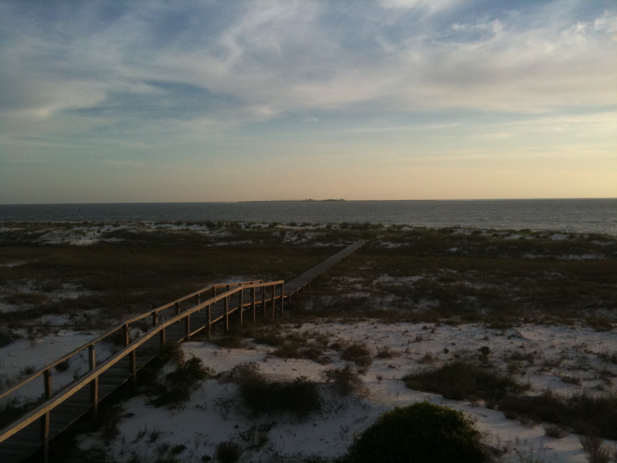
Island View Park Franklin Co FL (2)
Island View Park Franklin Co FL

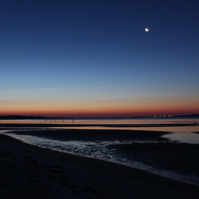
Low tide morning, day six. Last morning. Up before the sun, rewarded with an amazing view of the beach and the water. Ready to head home, though. #70d #dslr
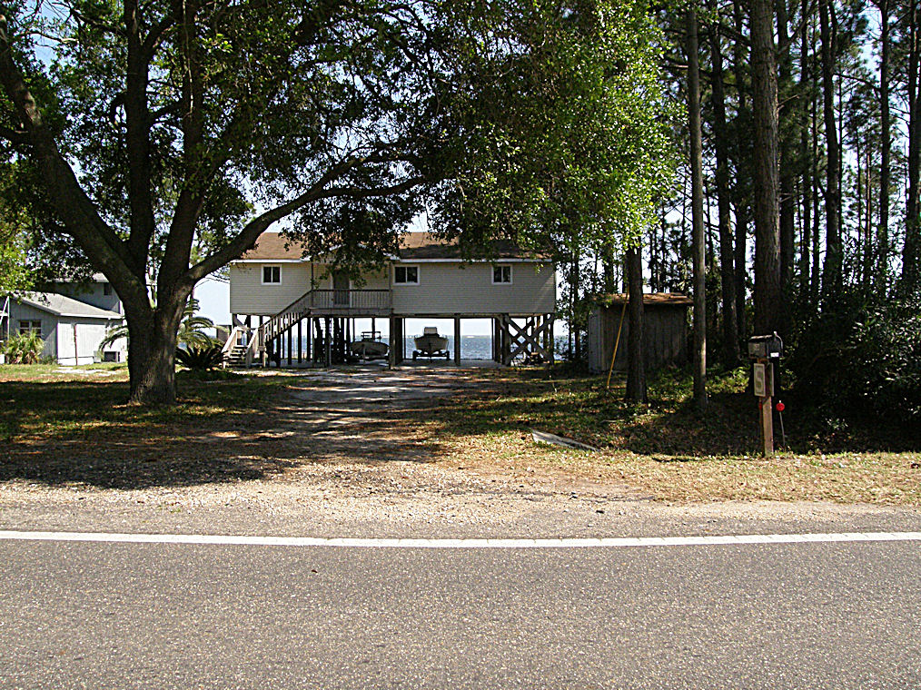
Unique Housing Design on the Florida Gulf Coast near Carrabelle - US98 - Hypotenuse Trail
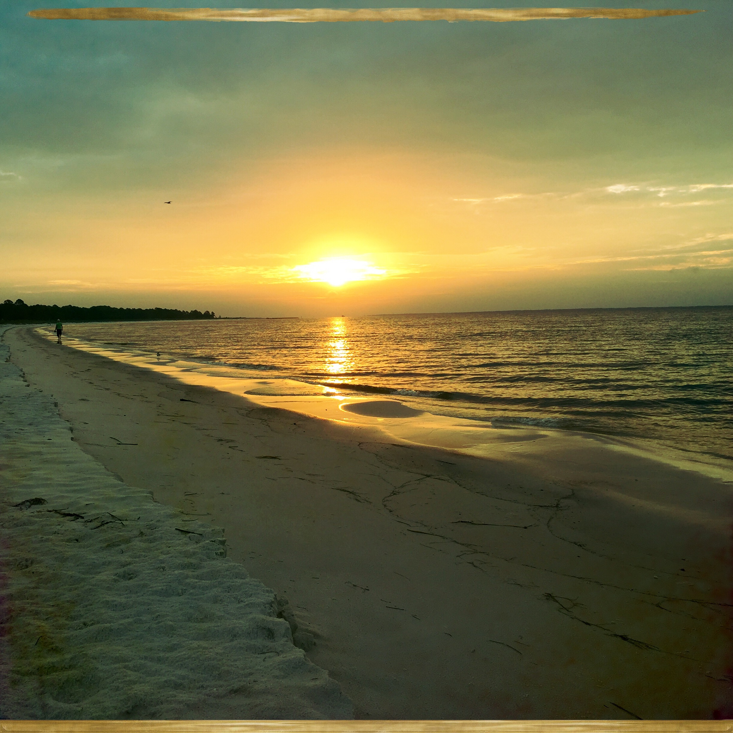
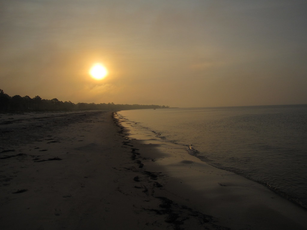
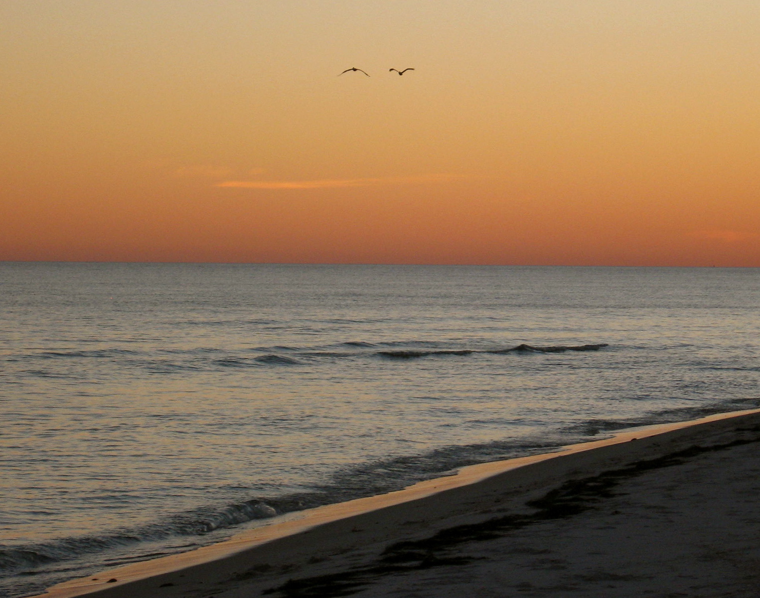
FLORIDA GULF SUNRISE
Up before the sun. Morning 3. #70d #nofilter
Carrabelle beach, off highway 98
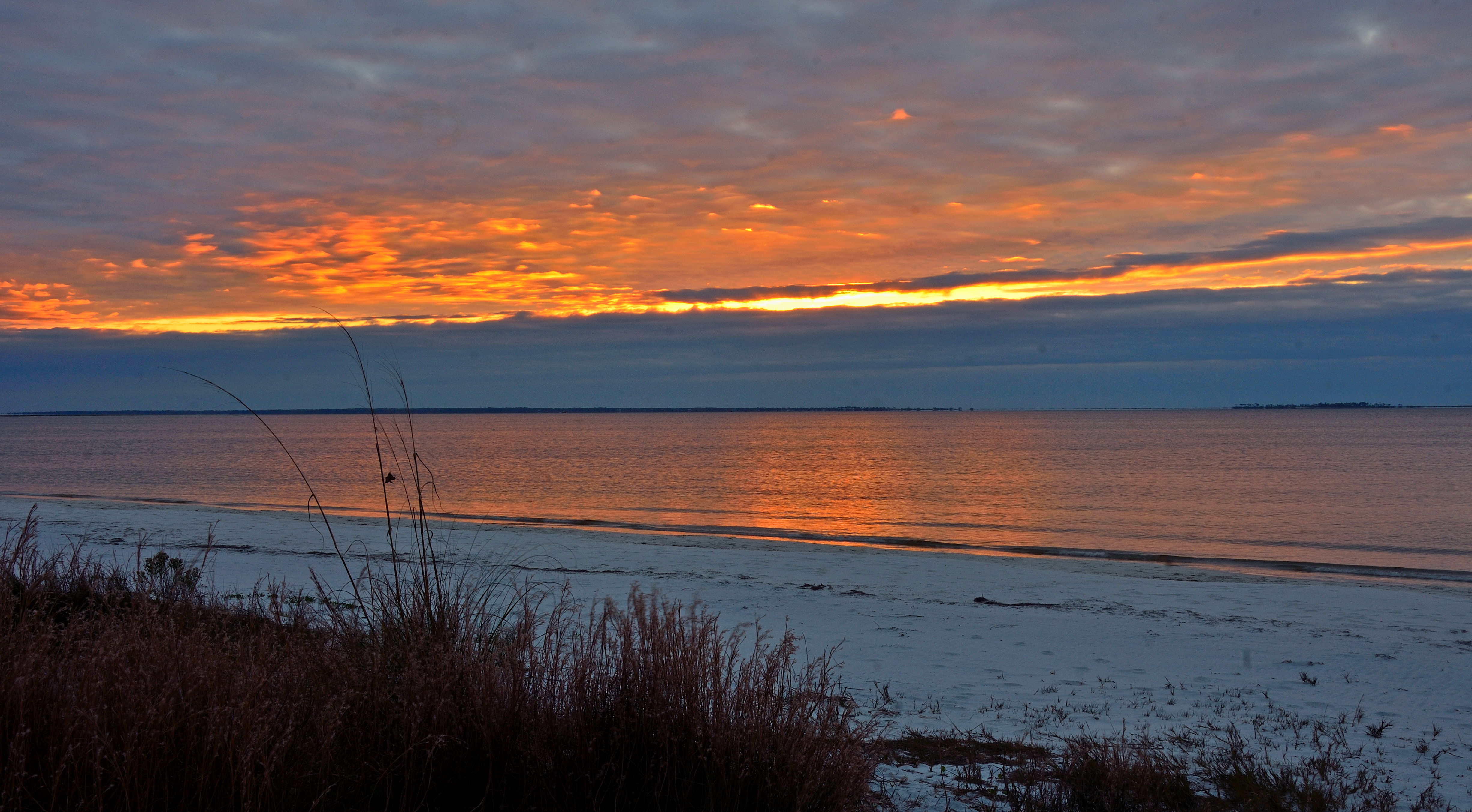
CARRABELLE BEACH CLOUDY WINTER SUNRISE
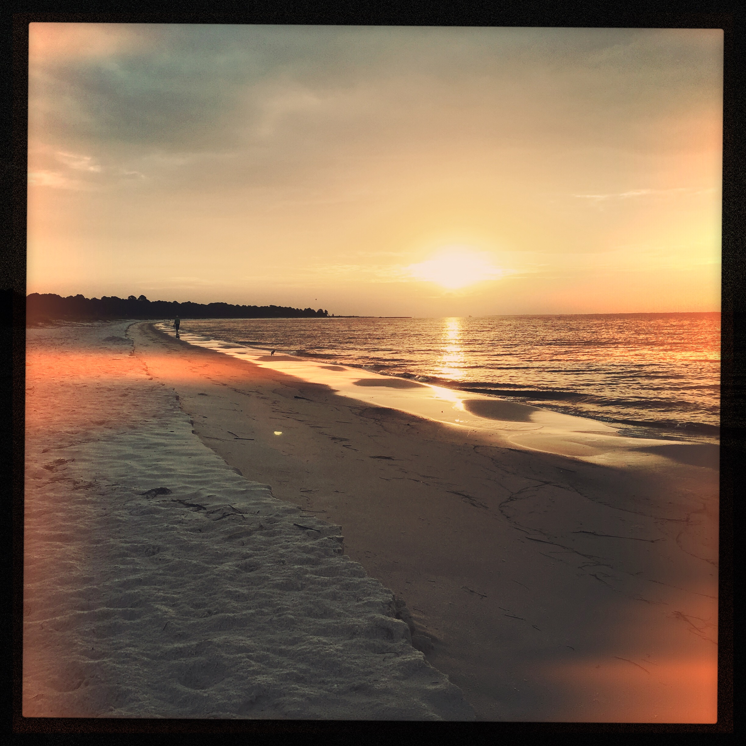
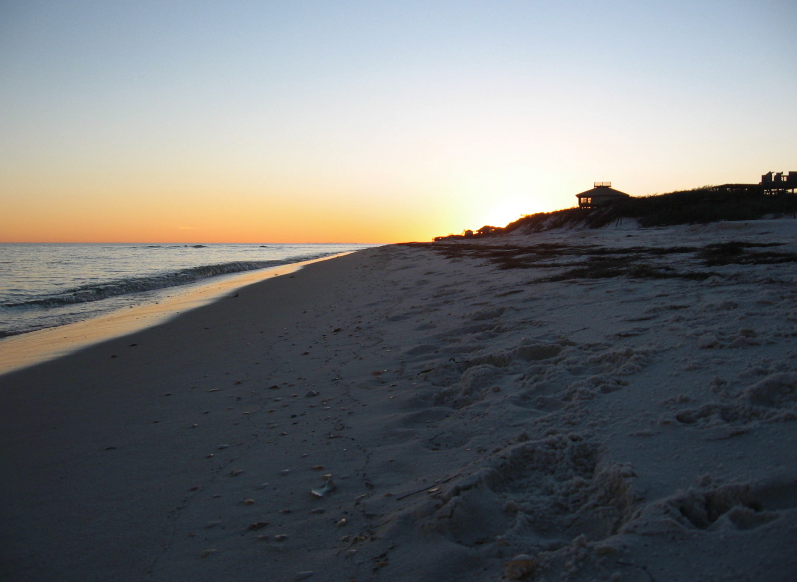
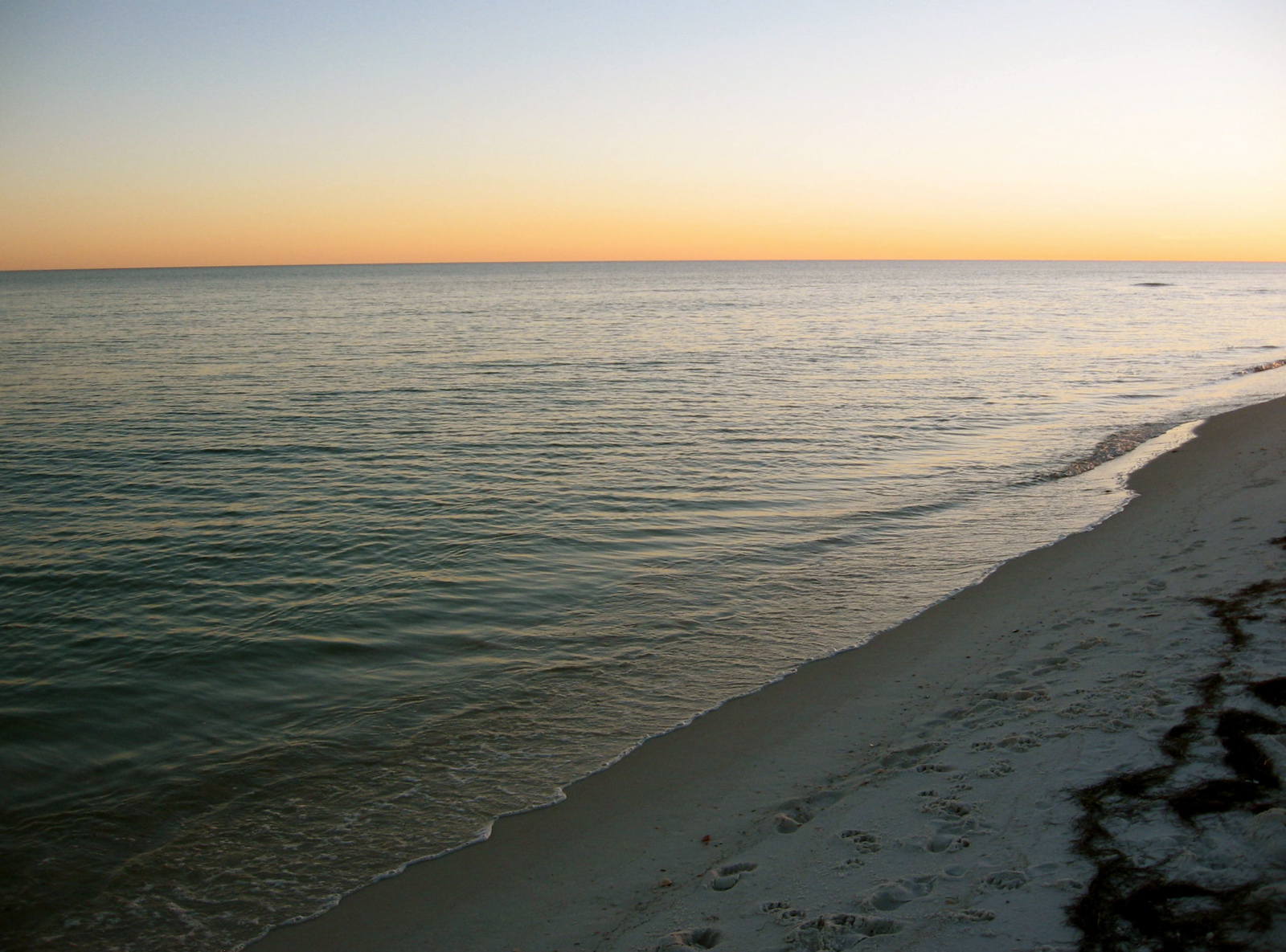
Sunrise from Carrabelle Beach
SUNRISE ON THE BEACH
Sunrise from Carrabelle Beach
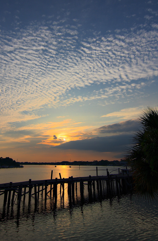
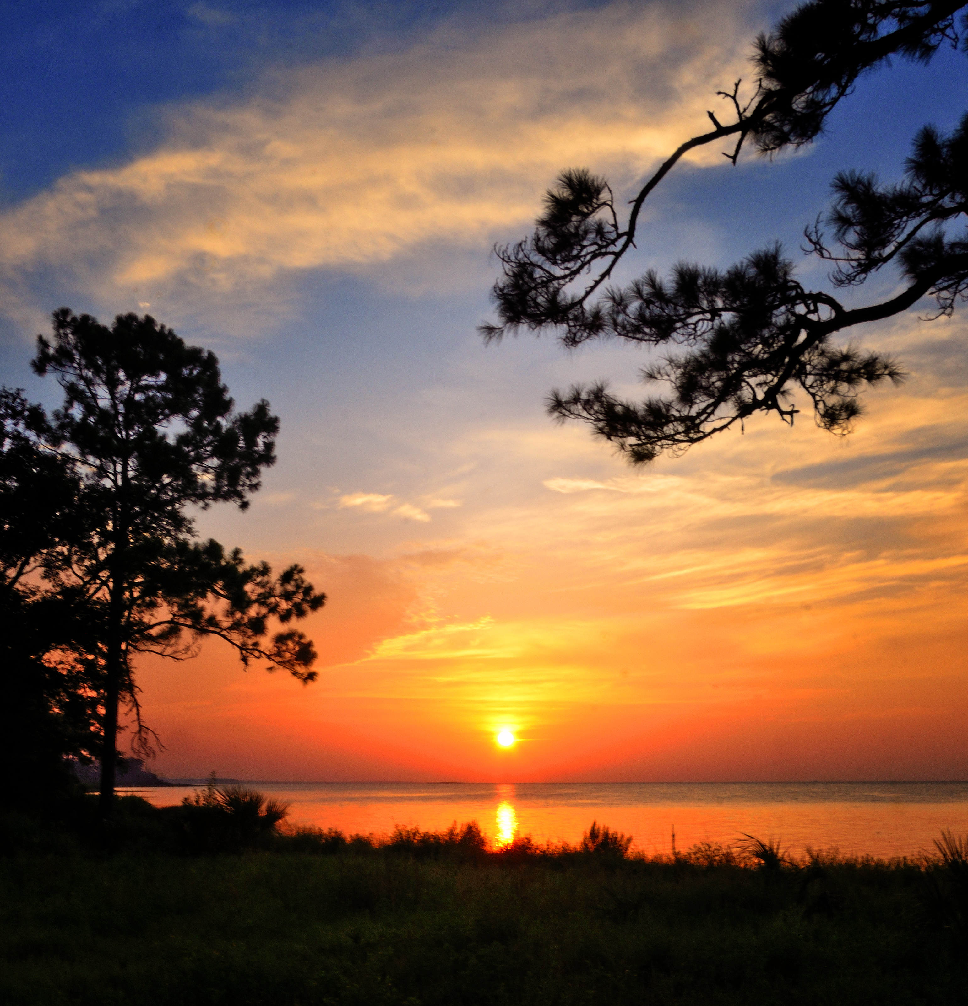
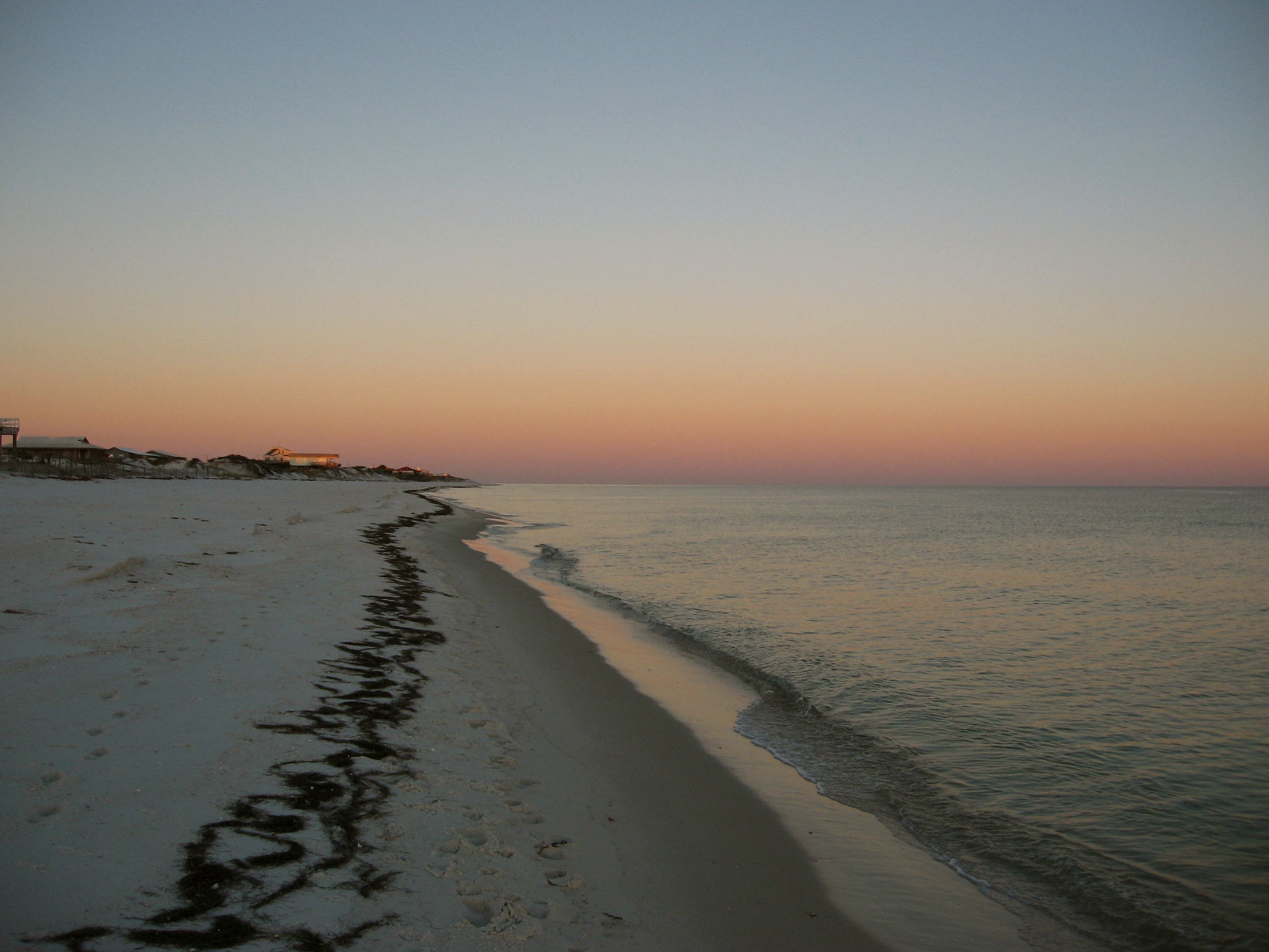
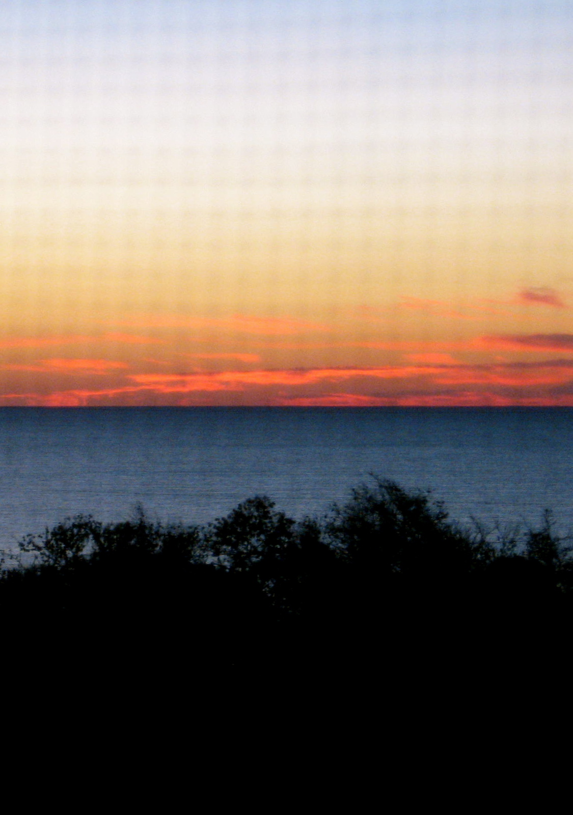
Carrabelle, Florida Sunset
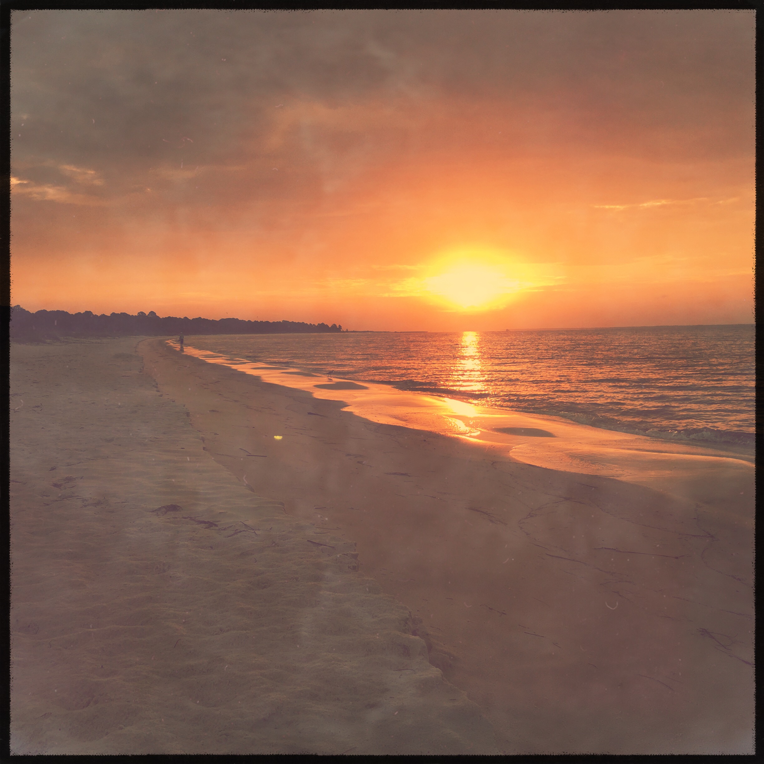
Sunrise from Carrabelle Beach
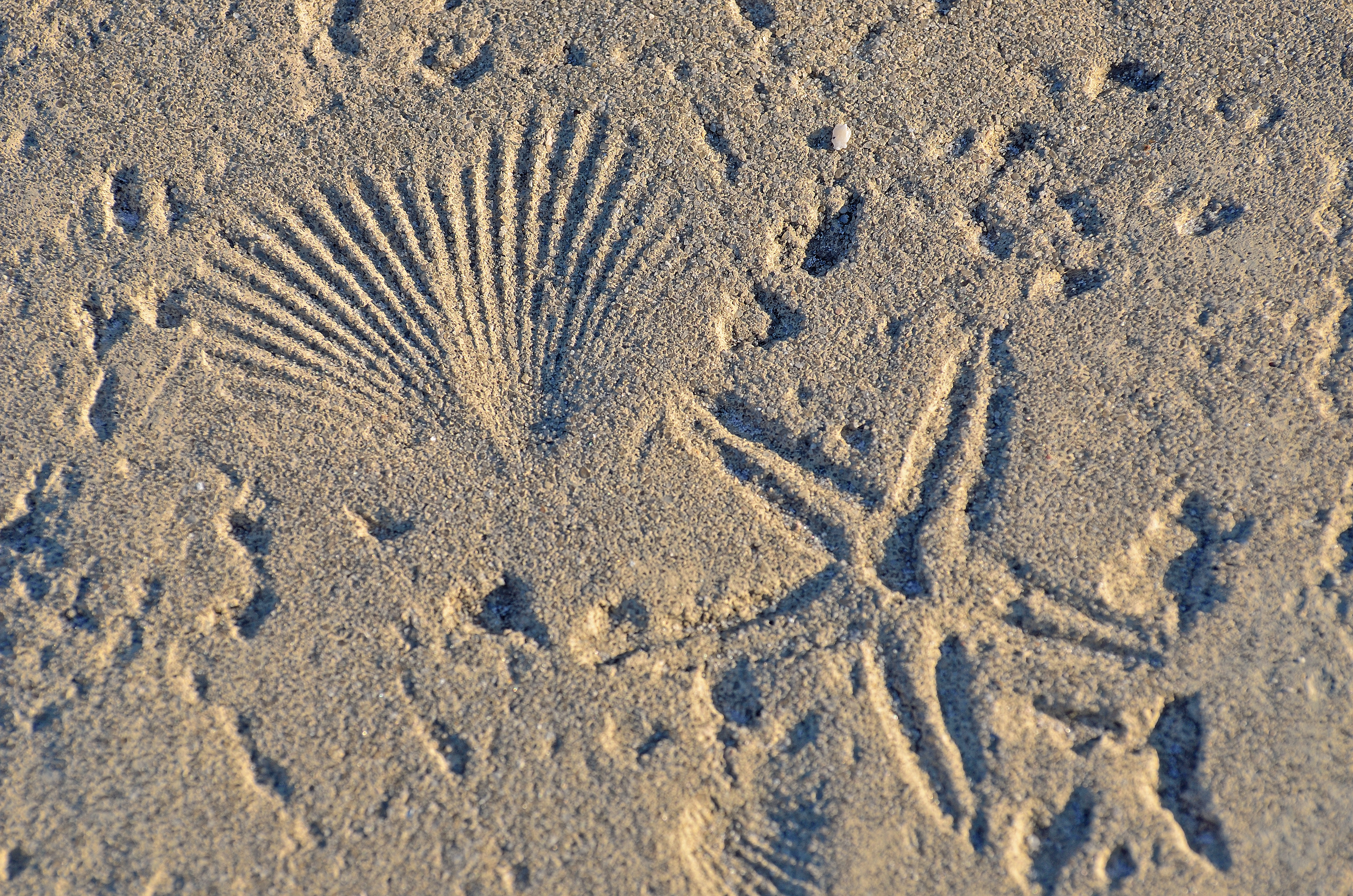
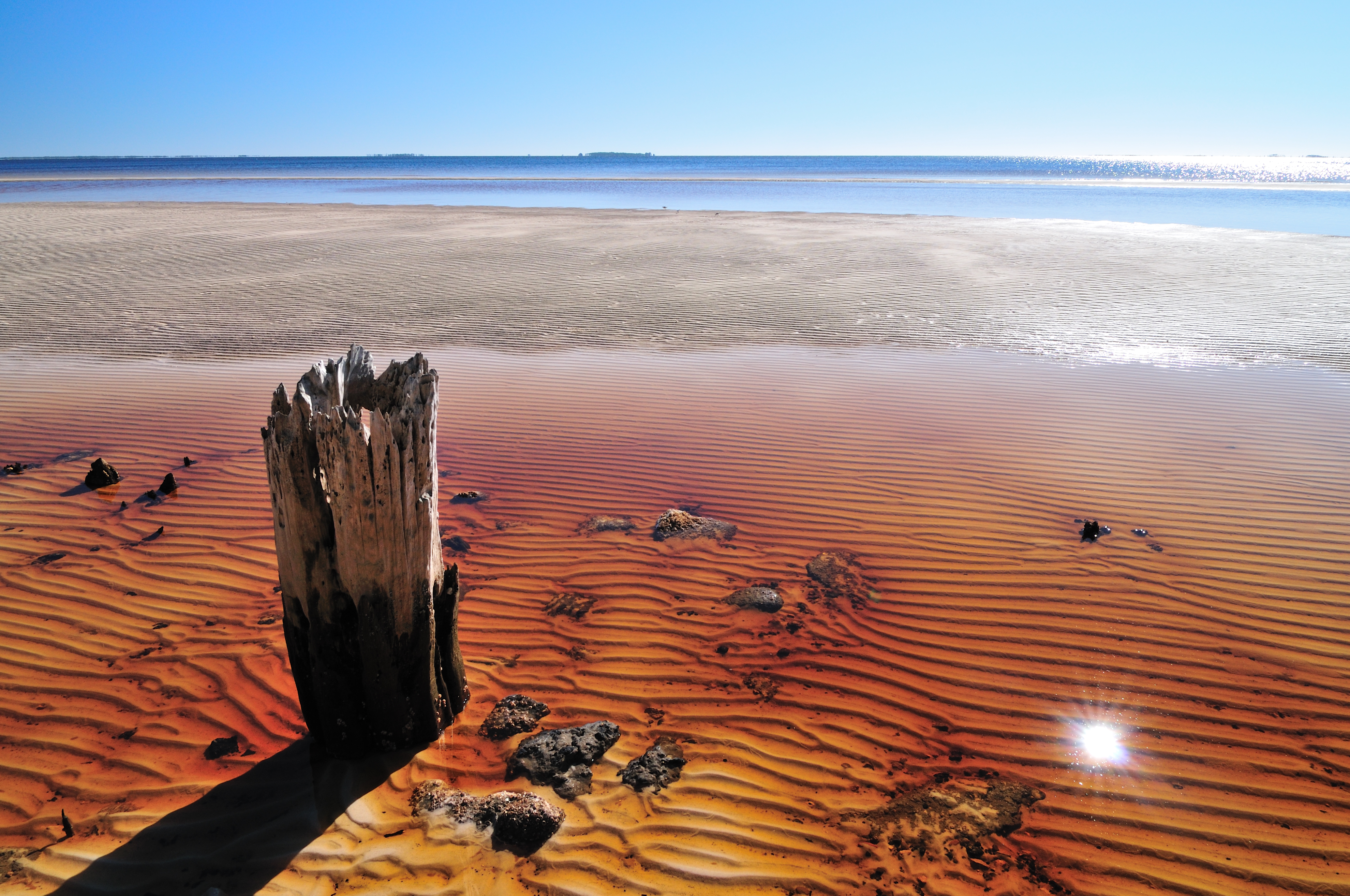
TEXTURE - CONCRETE AT THE BEACH
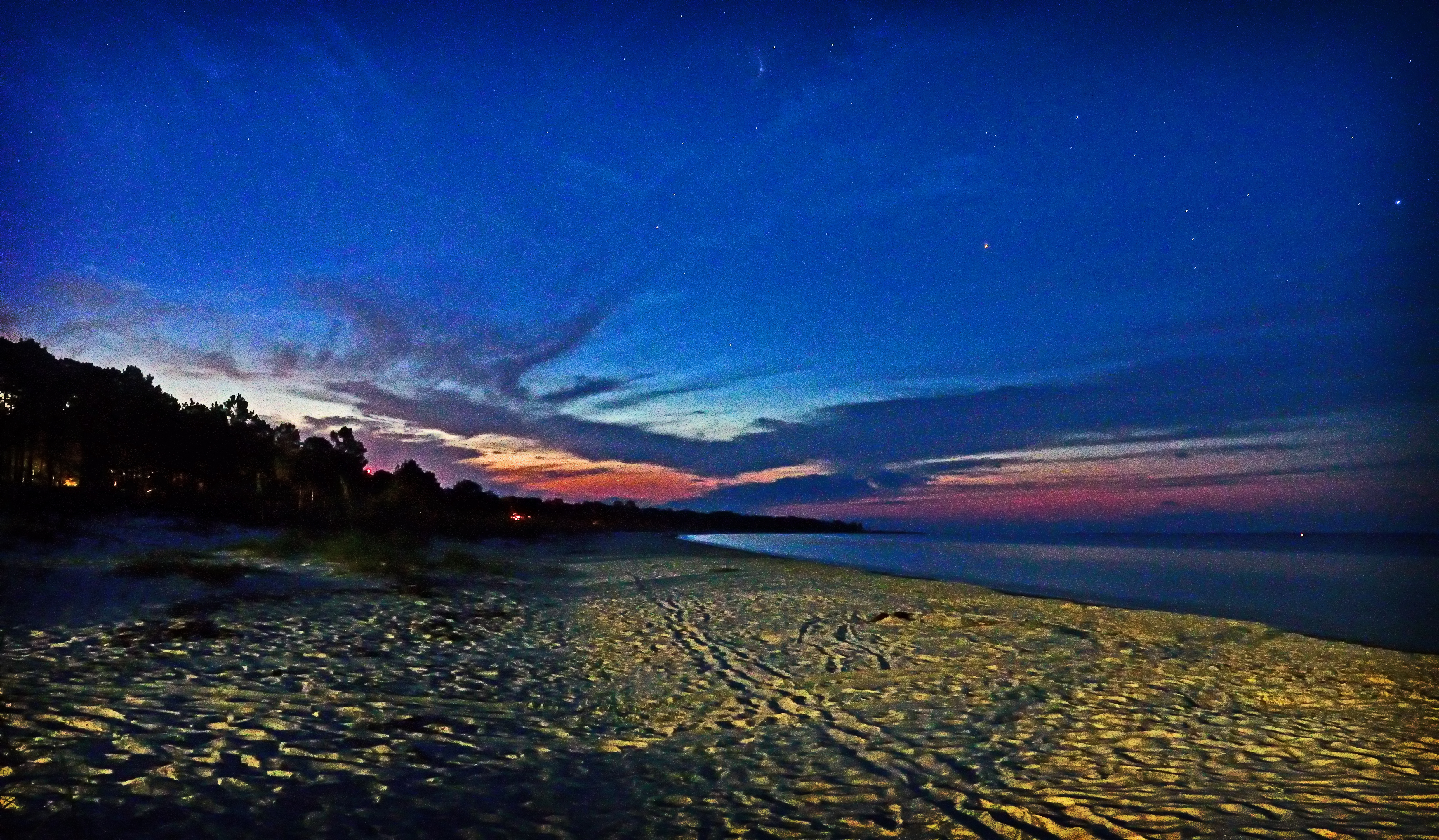
Dog island
img_1194.jpg
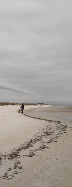
Sandy Beach
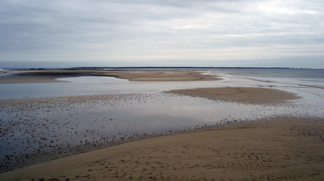
Beach 2
IMG_0244.JPG
Fishing boat - Carrabelle, FL
FSU Coastal & Marine Lab
IMG_0290.JPG
IMG_0241.JPG
IMG_0230.JPG
IMG_0256.JPG
Topographic Map of Alabama St, Carrabelle, FL, USA
Find elevation by address:

Places near Alabama St, Carrabelle, FL, USA:
2174 Kentucky Ave
111 Carolina St
127 Idaho St
123 Illinois St
Lanark Village, FL, USA
2315 Oak St
2321 Enabob St
Jubilee Street
2325 Jubilee St
134 Carl King Ave
102 Elm St
102 Elm St
Franklin Correctional Institution
304 13th St E
902 5th St Ne
500 Fl-30
110 5th St E
706 Se 7th St
414 Ave E S
414 Ave E S
Recent Searches:
- Elevation of Corso Fratelli Cairoli, 35, Macerata MC, Italy
- Elevation of Tallevast Rd, Sarasota, FL, USA
- Elevation of 4th St E, Sonoma, CA, USA
- Elevation of Black Hollow Rd, Pennsdale, PA, USA
- Elevation of Oakland Ave, Williamsport, PA, USA
- Elevation of Pedrógão Grande, Portugal
- Elevation of Klee Dr, Martinsburg, WV, USA
- Elevation of Via Roma, Pieranica CR, Italy
- Elevation of Tavkvetili Mountain, Georgia
- Elevation of Hartfords Bluff Cir, Mt Pleasant, SC, USA