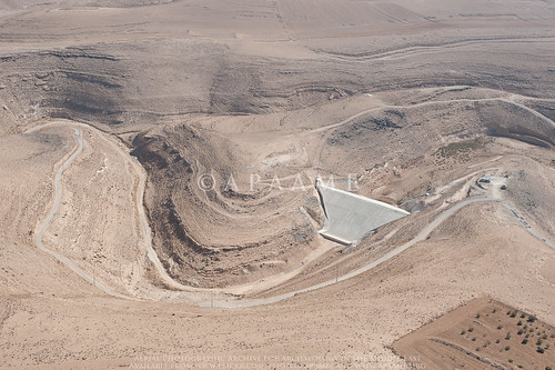
Elevation of Al-Jafr, Jordan
Location: Jordan > Ma'an Governorate >
Longitude: 36.1751703
Latitude: 30.3174153
Elevation: 864m / 2835feet
Barometric Pressure: 91KPa
Related Photos:
Topographic Map of Al-Jafr, Jordan
Find elevation by address:

Places near Al-Jafr, Jordan:
Jordan
Ma'an
Ma'an Governorate
Wadi Musa
Petra District
Mövenpick Resort Petra
Petra Marriott Hotel
Al-khazneh
Petra
At-tafilah
Neot Hakikar
Wadi Araba
Tzofar
Tzofar Center
Sapir Park
Sapir Park
Sapir
Wadi Rum Village
Recent Searches:
- Elevation of Corso Fratelli Cairoli, 35, Macerata MC, Italy
- Elevation of Tallevast Rd, Sarasota, FL, USA
- Elevation of 4th St E, Sonoma, CA, USA
- Elevation of Black Hollow Rd, Pennsdale, PA, USA
- Elevation of Oakland Ave, Williamsport, PA, USA
- Elevation of Pedrógão Grande, Portugal
- Elevation of Klee Dr, Martinsburg, WV, USA
- Elevation of Via Roma, Pieranica CR, Italy
- Elevation of Tavkvetili Mountain, Georgia
- Elevation of Hartfords Bluff Cir, Mt Pleasant, SC, USA


