Elevation map of Al Gobil Saudi Arabia
Location: Saudi Arabia > Eastern Province >
Longitude: 49.284143
Latitude: 26.9784024
Elevation: 35m / 115feet
Barometric Pressure: 101KPa
Elevation Map:
Satellite Map:
Related Photos:
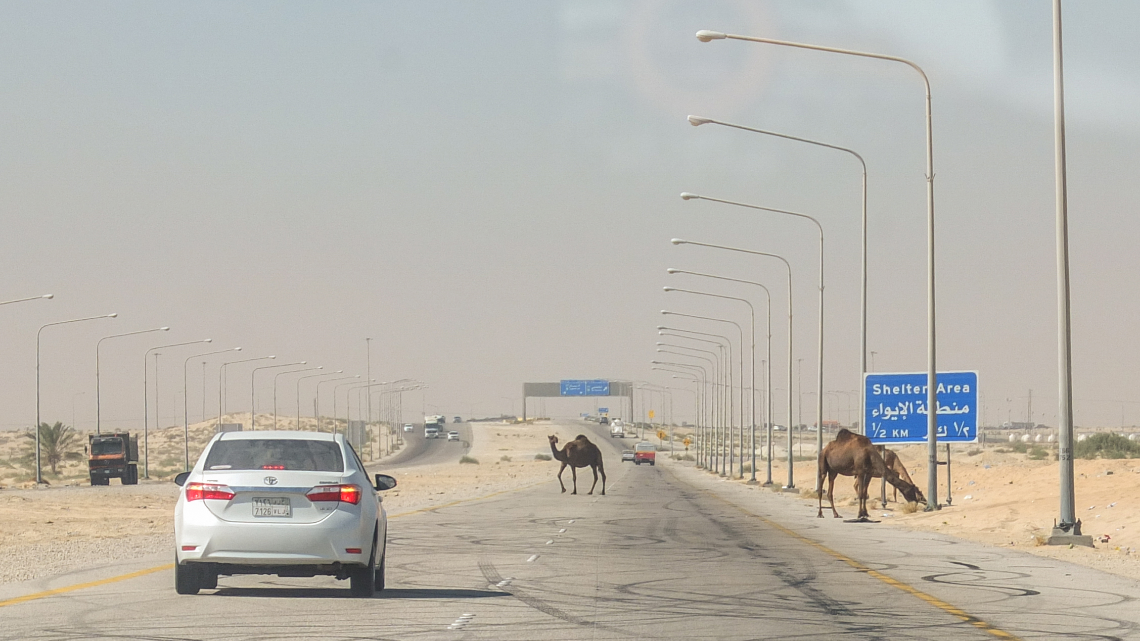
Yet another day in Saudi Arabia

#السعودية #الشرقية #الجبيل #ابو_حدرية #الفجر #شروق_الشمس #منظر_طبيعي #طبيعة #صباح_الخير #اصبحنا_واصبح_الملك_لله
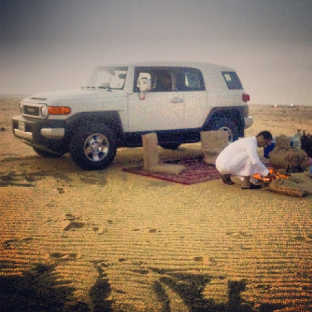
جو ولا أروع في بر الجبيل.

التغبيره

راعي ابل

This gas station has everything but Sun Top!
Topographic Map of Al Gobil Saudi Arabia
Find elevation by address:

Places near Al Gobil Saudi Arabia:
Industrial Area
Al Jubail
Petrokemya Petrochemical Co
Gharbal Mazari' Subdivision
7374 Abu Ali Rd
Abu Ali Airport
Recent Searches:
- Elevation of Corso Fratelli Cairoli, 35, Macerata MC, Italy
- Elevation of Tallevast Rd, Sarasota, FL, USA
- Elevation of 4th St E, Sonoma, CA, USA
- Elevation of Black Hollow Rd, Pennsdale, PA, USA
- Elevation of Oakland Ave, Williamsport, PA, USA
- Elevation of Pedrógão Grande, Portugal
- Elevation of Klee Dr, Martinsburg, WV, USA
- Elevation of Via Roma, Pieranica CR, Italy
- Elevation of Tavkvetili Mountain, Georgia
- Elevation of Hartfords Bluff Cir, Mt Pleasant, SC, USA