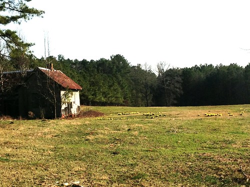
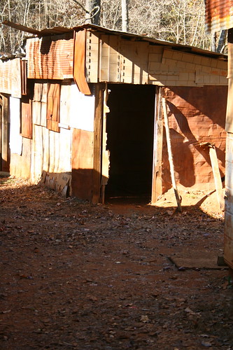
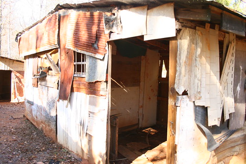
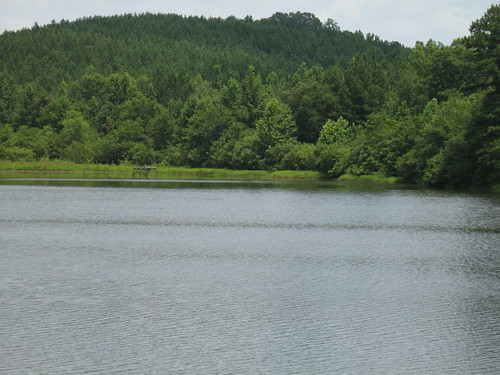
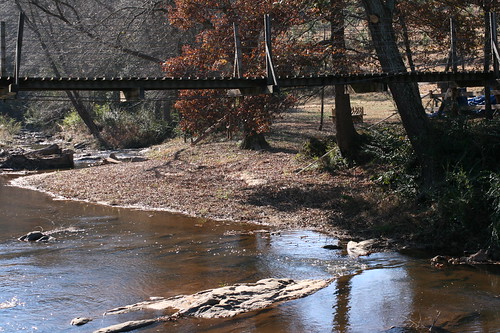
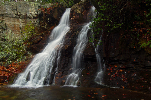
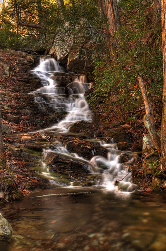
Elevation of AL-9, Lineville, AL, USA
Location: United States > Alabama > Clay County > Lineville >
Longitude: -85.754594
Latitude: 33.3105872
Elevation: 322m / 1056feet
Barometric Pressure: 98KPa
Related Photos:
Topographic Map of AL-9, Lineville, AL, USA
Find elevation by address:

Places near AL-9, Lineville, AL, USA:
Lineville
1015 Prairie Creek Rd
AL-9, Lineville, AL, USA
383 Shiloh Church Road
383 Shiloh Church Road
Delta
1043 Shiloh Church Road
2099 Co Rd 12
2388 Co Rd 129
2388 Co Rd 129
Randolph County
Simpson Rd, Daviston, AL, USA
3893 Co Rd 11
Co Rd 43, Wadley, AL, USA
Wadley
Wedowee
16 Boiling Springs Rd, Oxford, AL, USA
Daviston
41 Co Rd 406
AL-22, Daviston, AL, USA
Recent Searches:
- Elevation of Corso Fratelli Cairoli, 35, Macerata MC, Italy
- Elevation of Tallevast Rd, Sarasota, FL, USA
- Elevation of 4th St E, Sonoma, CA, USA
- Elevation of Black Hollow Rd, Pennsdale, PA, USA
- Elevation of Oakland Ave, Williamsport, PA, USA
- Elevation of Pedrógão Grande, Portugal
- Elevation of Klee Dr, Martinsburg, WV, USA
- Elevation of Via Roma, Pieranica CR, Italy
- Elevation of Tavkvetili Mountain, Georgia
- Elevation of Hartfords Bluff Cir, Mt Pleasant, SC, USA
