Elevation of Airstream Drive, Airstream Dr, Pikeville, TN, USA
Location: United States > Tennessee > Cumberland County > Crossville >
Longitude: -85.092762
Latitude: 35.7575314
Elevation: 605m / 1985feet
Barometric Pressure: 94KPa
Elevation Map:
Satellite Map:
Related Photos:
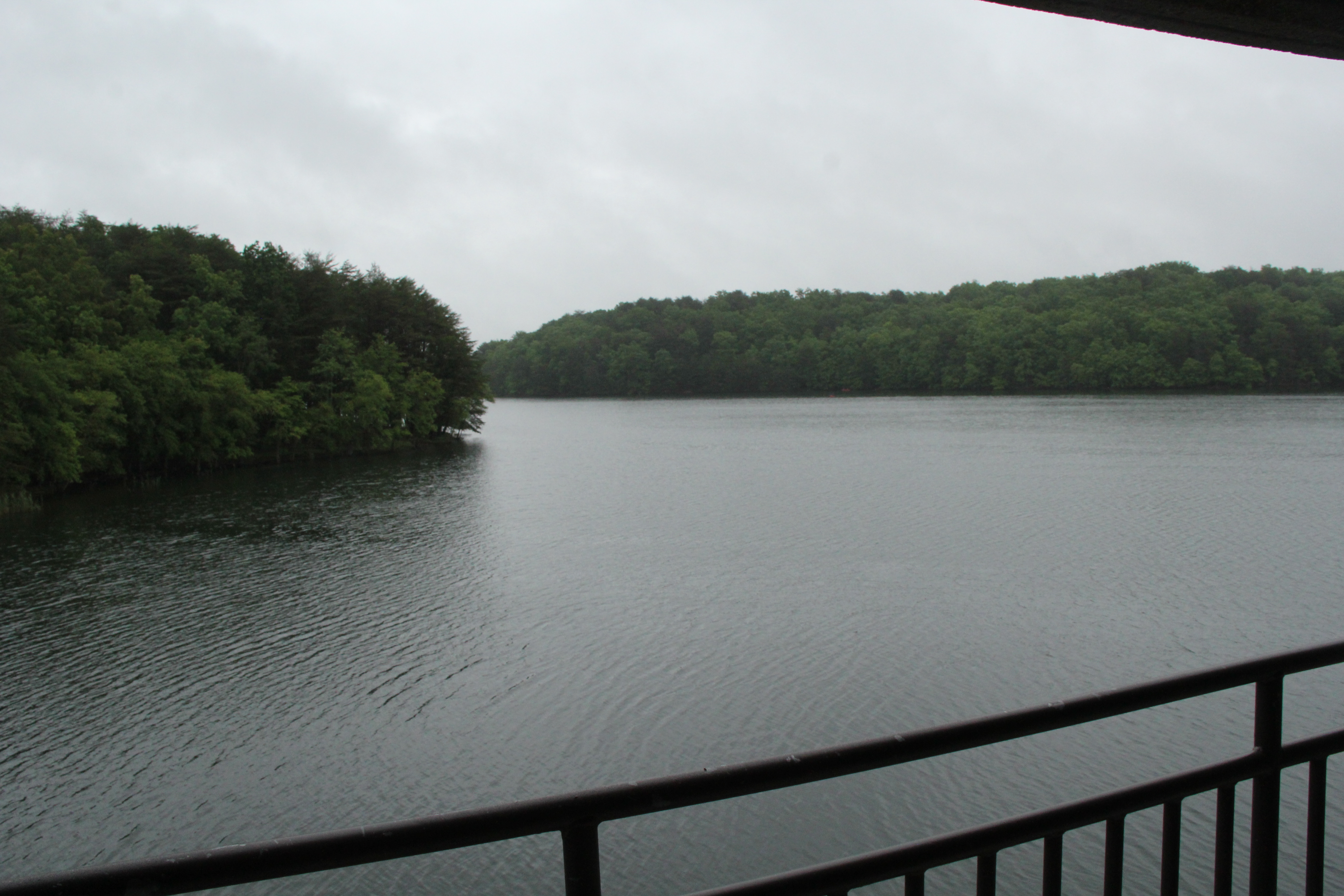
Balcony View

Balcony View

Stinging Fork Falls, Stinging Fork, Stinging Fork Falls State Natural Area, Walden Ridge, Rhea County, Tennessee 1

Sequatchie valley

Sequatchie Creek

Sunset: Take Two

Sunset on the Lake
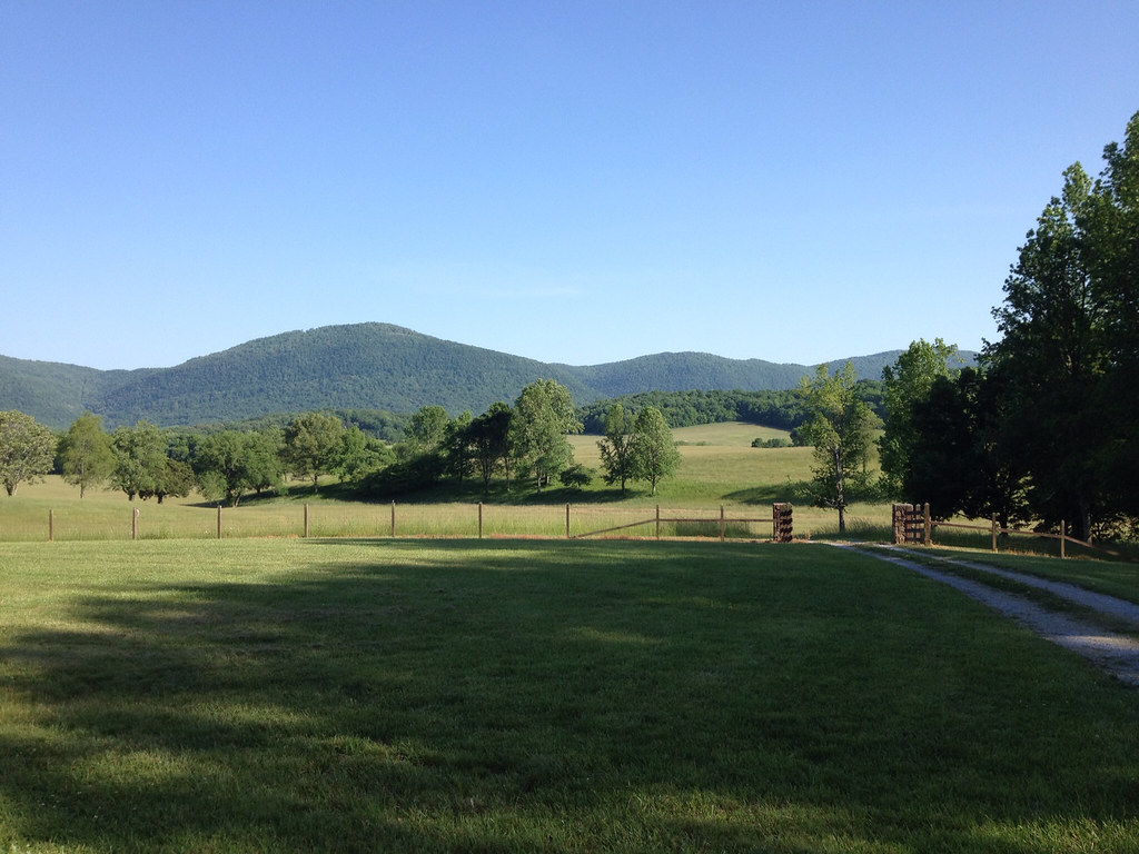
Down on the Farm

2011-03-12 13.23.45

Chasing the Geese
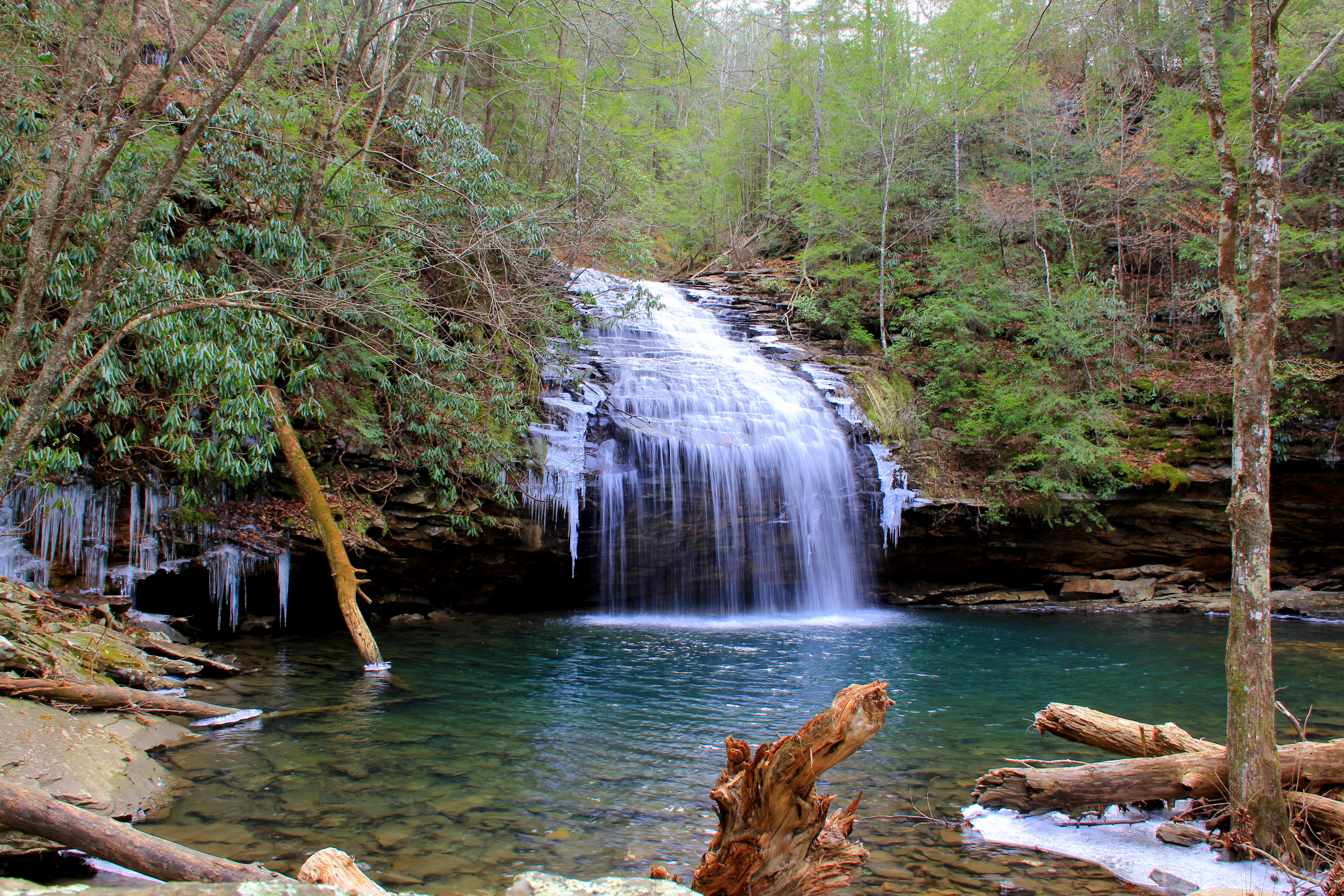
Stinging Fork Falls

Photo by Jenna

Wesley and Elijah

pine tree
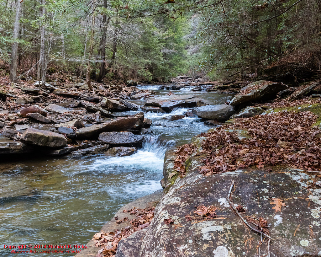
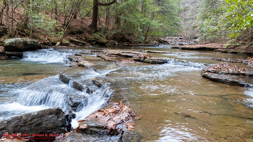
Lower Piney River Section of the Cumberland Trail
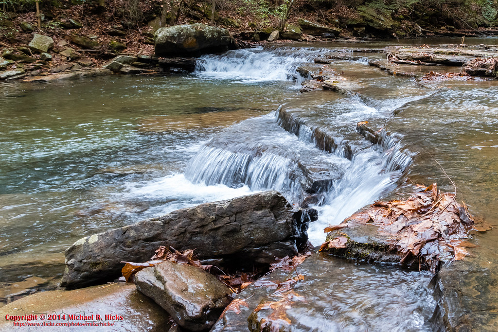
Lower Piney River Section of the Cumberland Trail

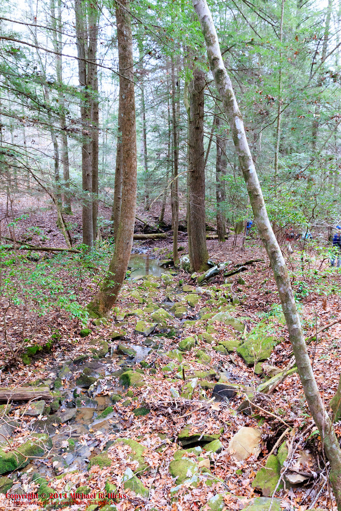
Lower Piney River Section of the Cumberland Trail
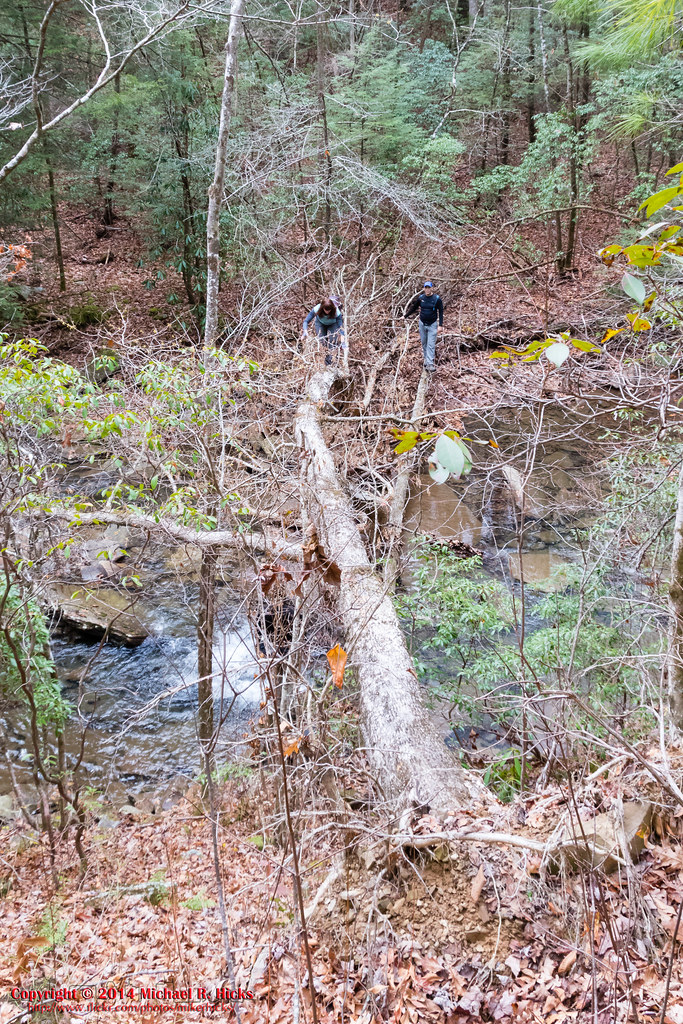
Lower Piney River Section of the Cumberland Trail

Lower Piney River Section of the Cumberland Trail

Lower Piney River Section of the Cumberland Trail
Lower Piney River Section of the Cumberland Trail
Lower Piney River Section of the Cumberland Trail
Topographic Map of Airstream Drive, Airstream Dr, Pikeville, TN, USA
Find elevation by address:

Places near Airstream Drive, Airstream Dr, Pikeville, TN, USA:
3771 Blaylock Rd
362 Sunset Rd
362 Sunset Rd
Milo Webb Road
Ridge Road
956 Christian Rd
4689 Vandever Rd
Mountain Creek Road
1578 Webb Loop
1767 Leffle Webb Rd
158 Will Wyatt Ct
26 Indian Rock Loop
377 David Crockett Rd
39 O'camp Rd
Big Spring Gap Road
1220 Big Spring Gap Rd
Lantana Road
Lantana Road
Morning Star Dr, Crossville, TN, USA
Newton Road
Recent Searches:
- Elevation of Corso Fratelli Cairoli, 35, Macerata MC, Italy
- Elevation of Tallevast Rd, Sarasota, FL, USA
- Elevation of 4th St E, Sonoma, CA, USA
- Elevation of Black Hollow Rd, Pennsdale, PA, USA
- Elevation of Oakland Ave, Williamsport, PA, USA
- Elevation of Pedrógão Grande, Portugal
- Elevation of Klee Dr, Martinsburg, WV, USA
- Elevation of Via Roma, Pieranica CR, Italy
- Elevation of Tavkvetili Mountain, Georgia
- Elevation of Hartfords Bluff Cir, Mt Pleasant, SC, USA