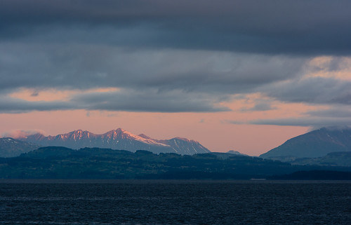
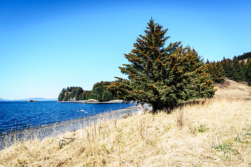
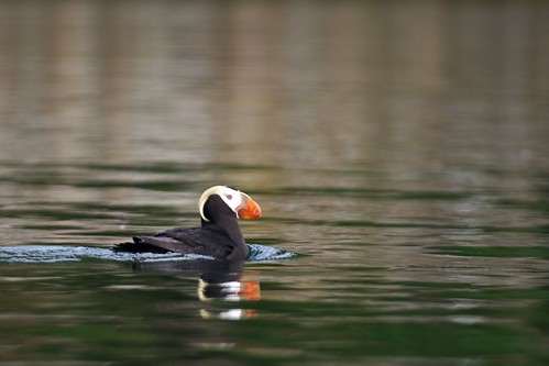
Elevation of Airport Rd, Port Lions, AK, USA
Location: United States > Alaska > Kodiak Island > Port Lions >
Longitude: -152.88276
Latitude: 57.869669
Elevation: 48m / 157feet
Barometric Pressure: 101KPa
Related Photos:
Topographic Map of Airport Rd, Port Lions, AK, USA
Find elevation by address:

Places near Airport Rd, Port Lions, AK, USA:
Port Lions
Womens Bay
12792 Middle Bay Dr
12830 S Russian Creek Rd
11248 Kalsin Dr
756 Preston Ln
10981 Lake Orbin Dr
Chiniak Hwy, Kodiak, AK, USA
200 2nd St
Ouzinkie
Polaris Avenue
146 Rezanof Dr W
Kodiak
418 Hillside Dr
410 Thorsheim St
518 Hillside Dr
421 Thorsheim St
110 Mill Bay Rd
212 E Rezanof Dr
711 Thorsheim St
Recent Searches:
- Elevation of Corso Fratelli Cairoli, 35, Macerata MC, Italy
- Elevation of Tallevast Rd, Sarasota, FL, USA
- Elevation of 4th St E, Sonoma, CA, USA
- Elevation of Black Hollow Rd, Pennsdale, PA, USA
- Elevation of Oakland Ave, Williamsport, PA, USA
- Elevation of Pedrógão Grande, Portugal
- Elevation of Klee Dr, Martinsburg, WV, USA
- Elevation of Via Roma, Pieranica CR, Italy
- Elevation of Tavkvetili Mountain, Georgia
- Elevation of Hartfords Bluff Cir, Mt Pleasant, SC, USA


