Elevation of Aibetsu, Kamikawa District, Hokkaido Prefecture, Japan
Location: Japan > Hokkaido Prefecture > Kamikawa District >
Longitude: 142.577973
Latitude: 43.9065035
Elevation: 210m / 689feet
Barometric Pressure: 99KPa
Elevation Map:
Satellite Map:
Related Photos:
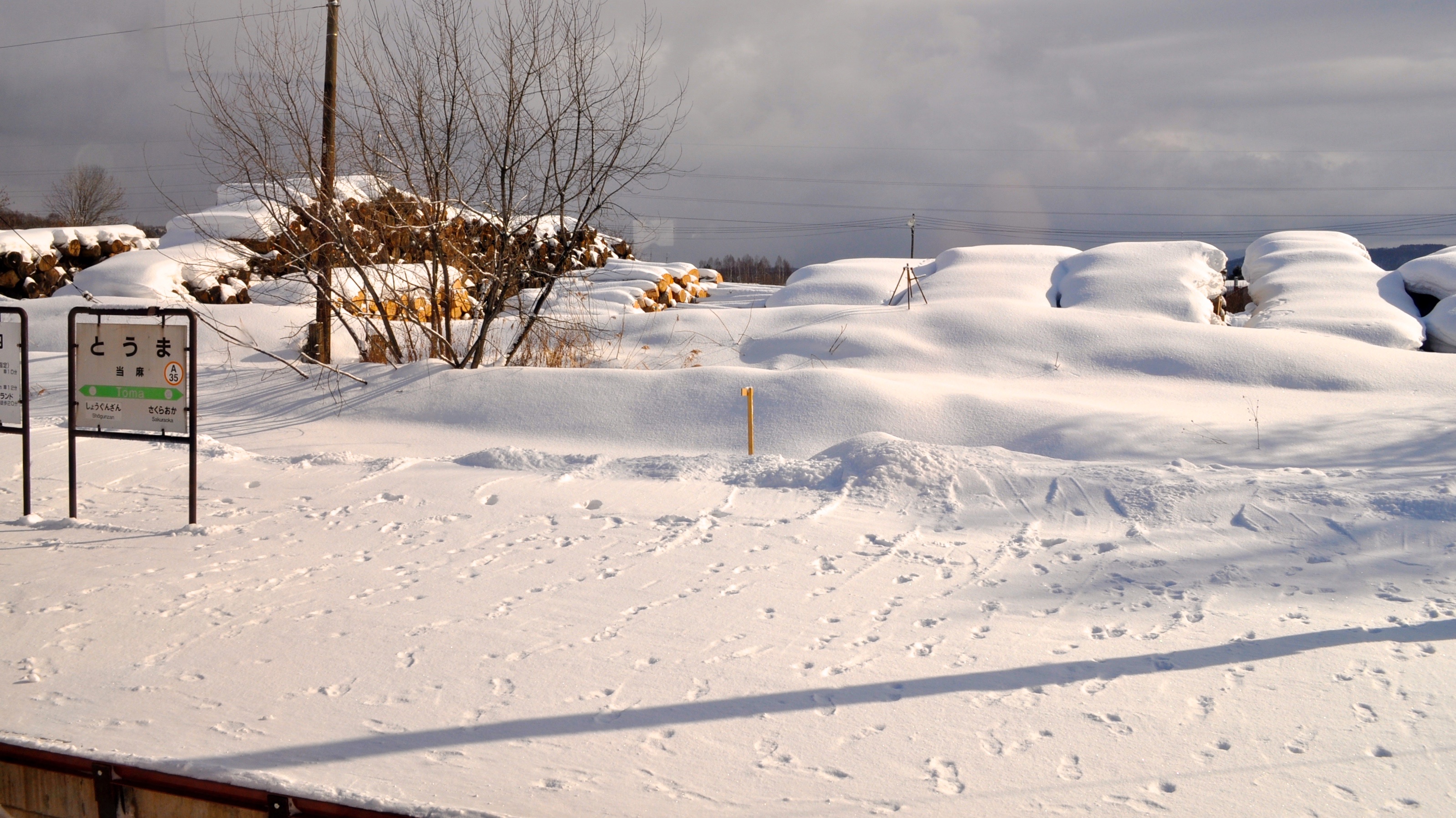
Toma Station, Hokkaido

Pippu skiing ground No.6 pair chairlift, a view from Mt.topstation

Pippu skiing ground No.3 parallel AB chairlift, a view from Mt.topstation

帰り道

落ち葉浮く秋

_1041752.JPG

中間地点
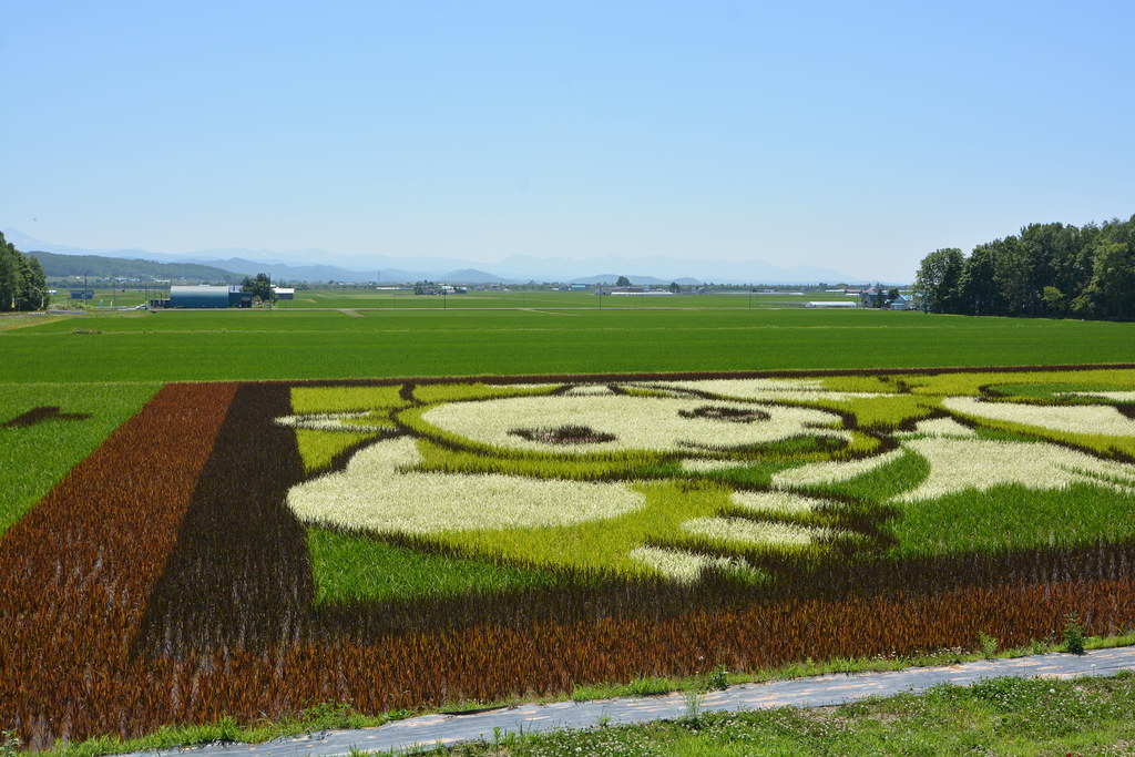
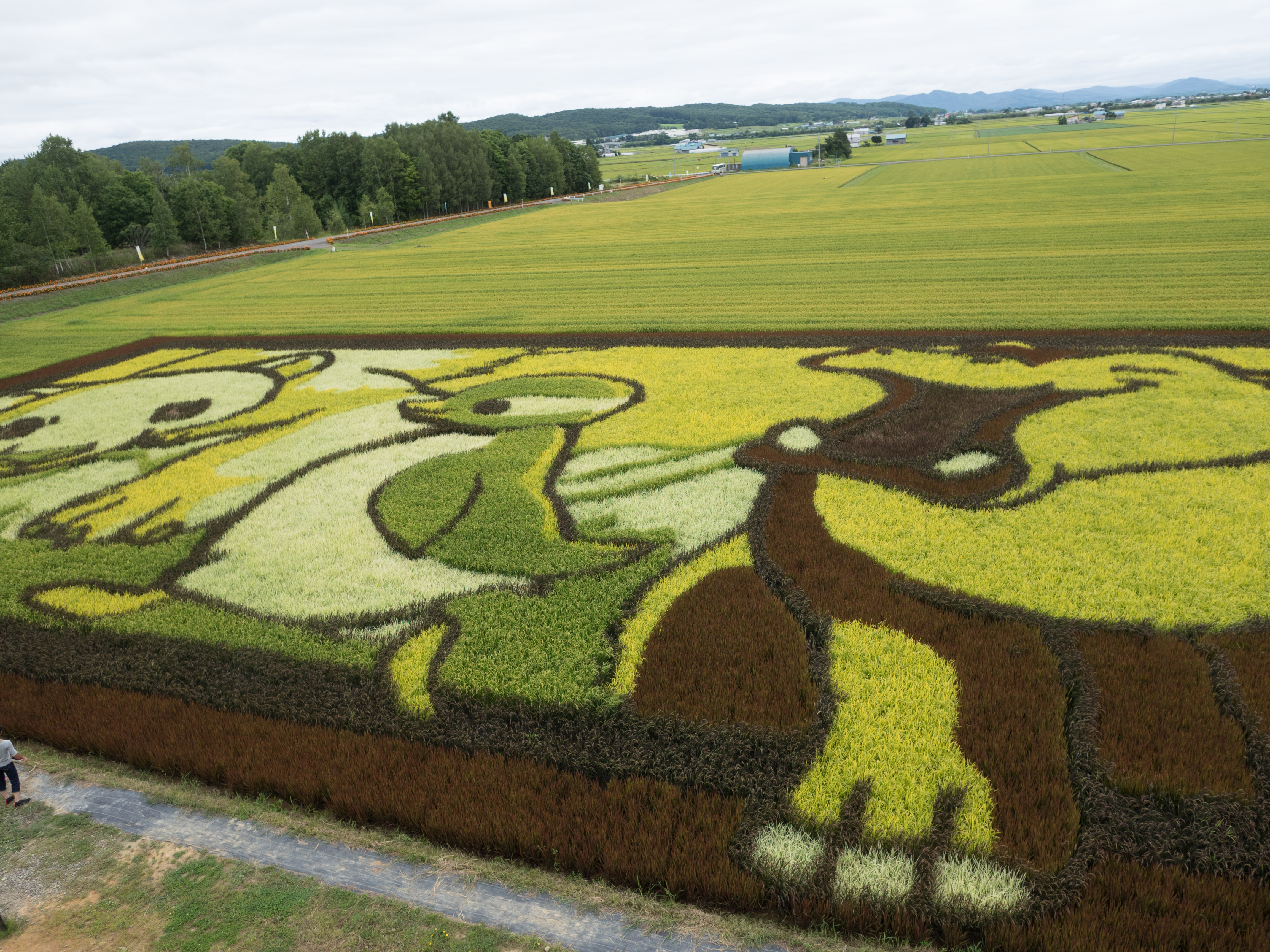
稻田彩繪
Rice Carpet
宗谷本線車窓

_1041750.JPG
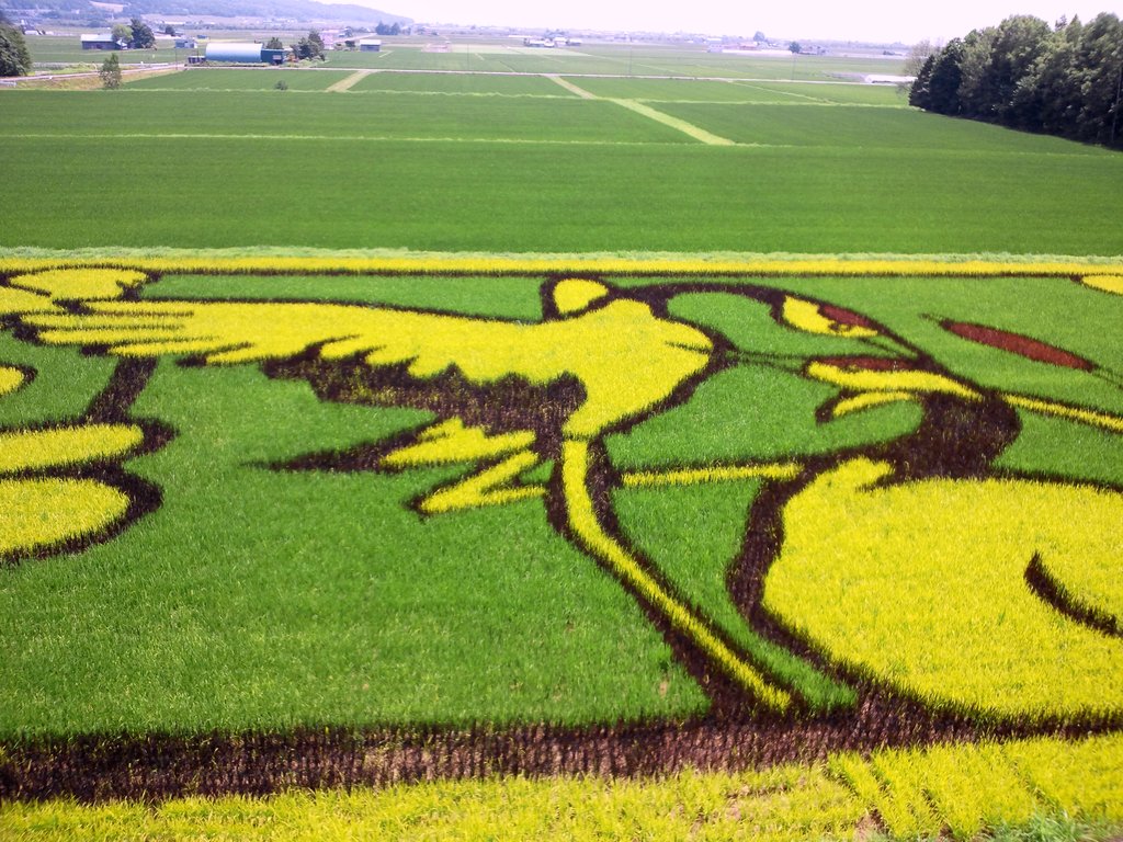
鷹栖の田んぼアート
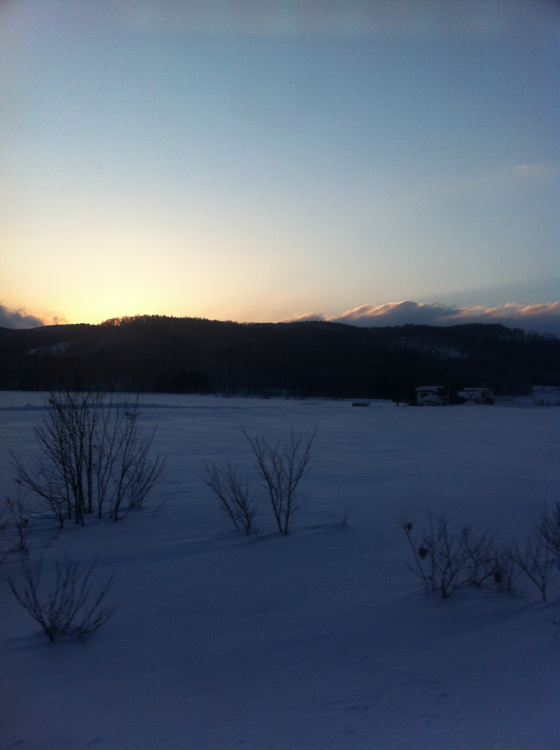
宗谷本線車窓
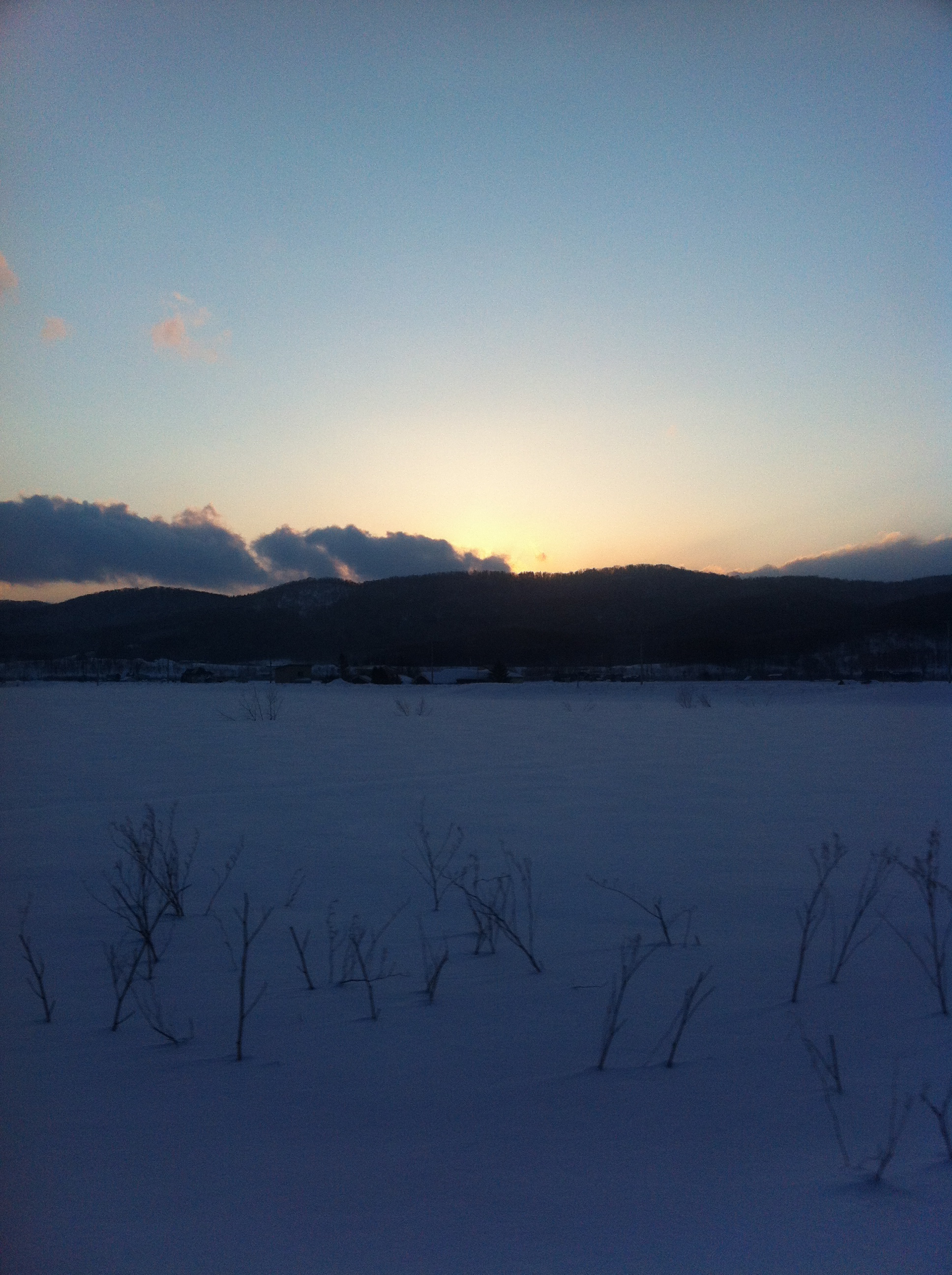
宗谷本線車窓
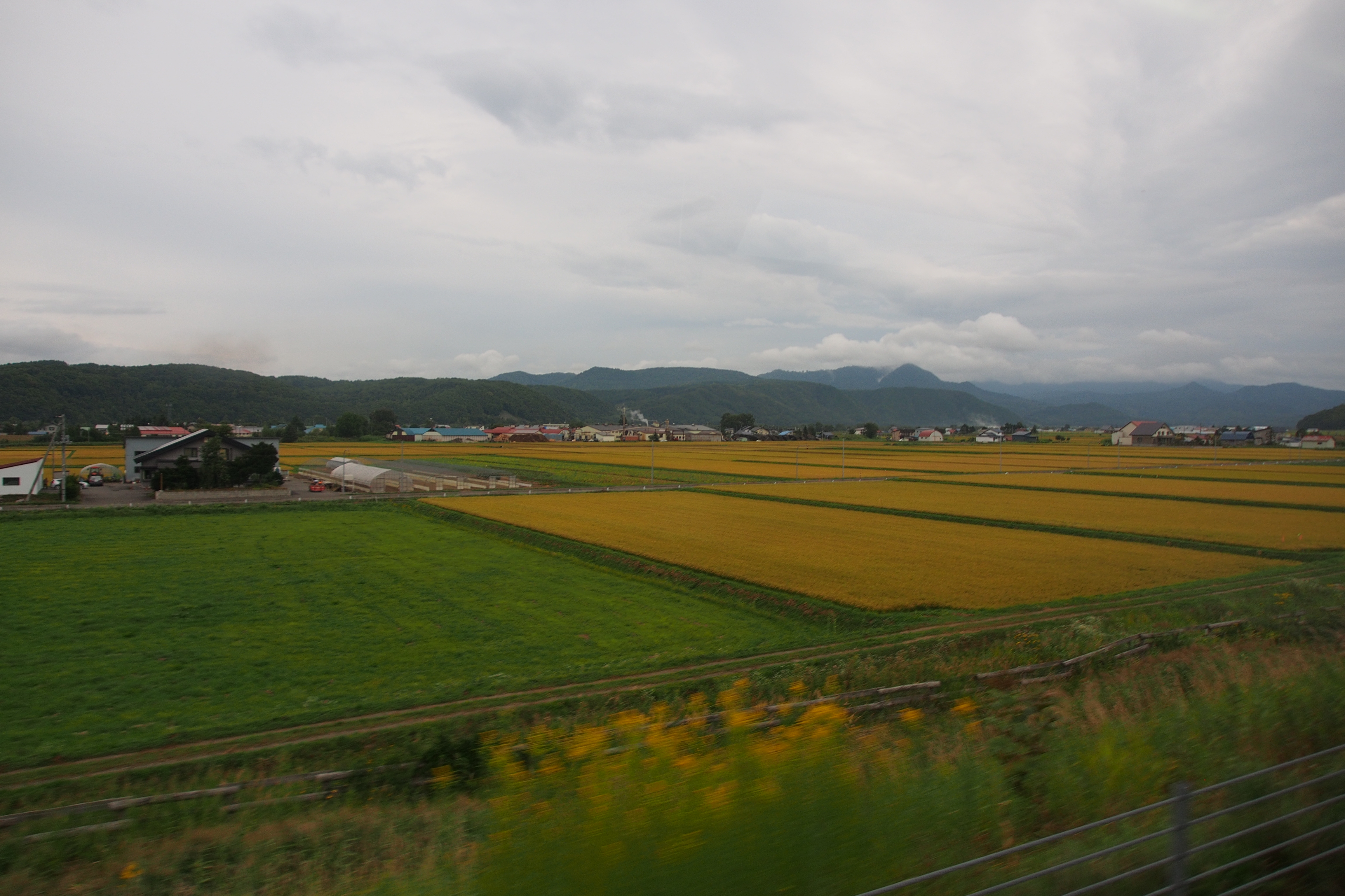
北海道
AIR-A01_BHD202372_150823_0809.jpg
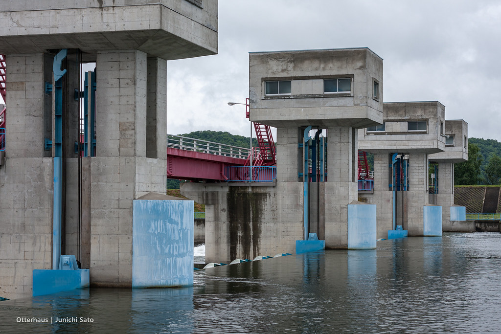
Chikabumi headworks, Tohma
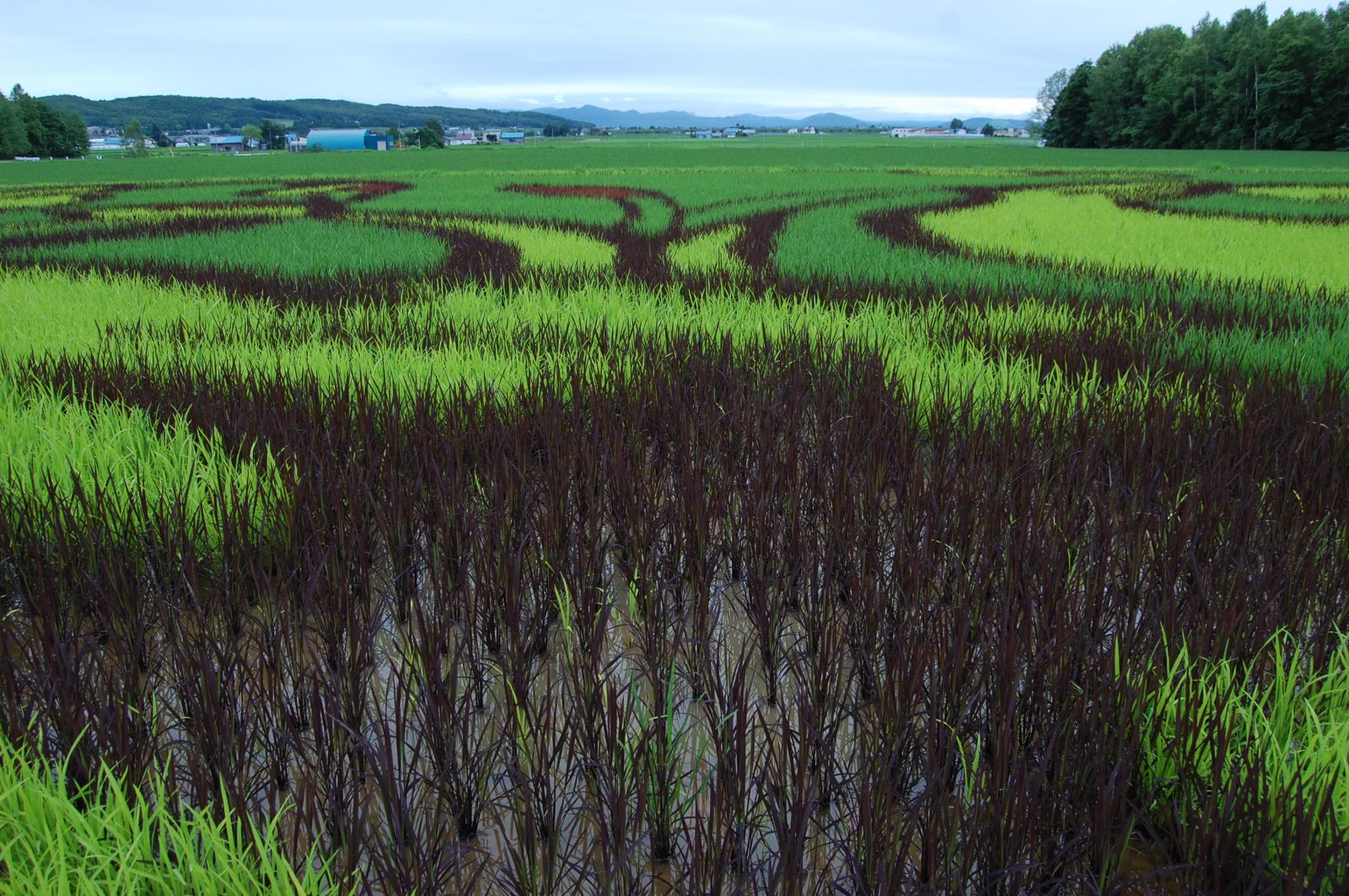
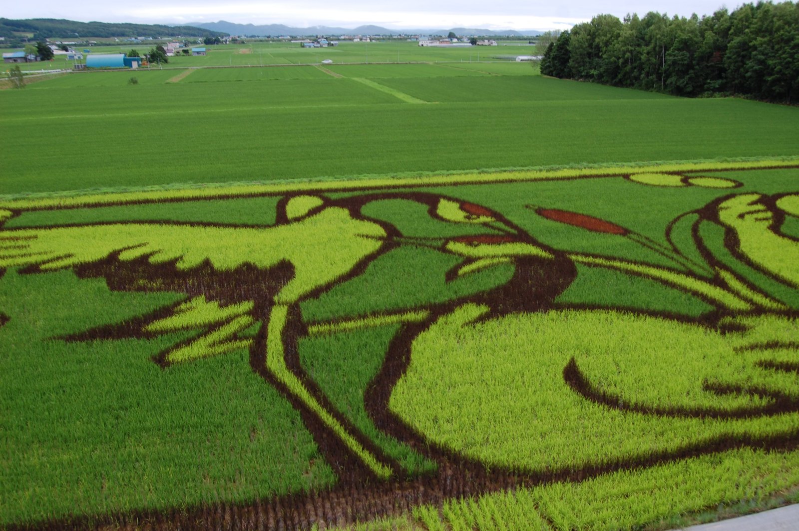
Rice Carpet
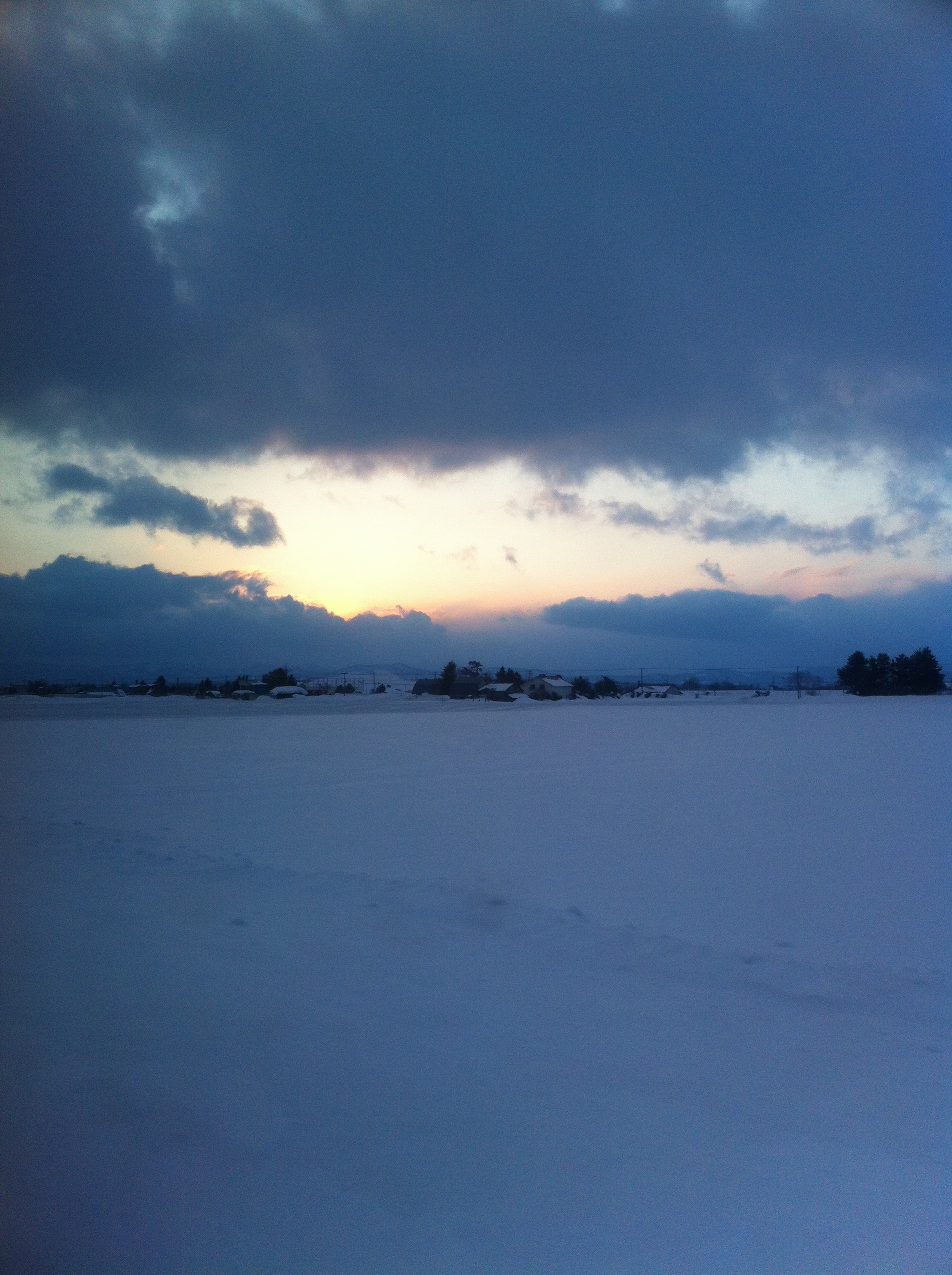
心中的風景5 #Hokkaido #Japan #sky #clouds #mountains #fields #autumn

Rice Carpet

_1041747.JPG

大雪展望台
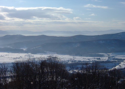
スキー場から市街地を望む
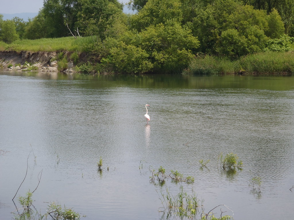
旭山動物園から脱走したフラミンゴ / A flamingo flown from local zoo.
Topographic Map of Aibetsu, Kamikawa District, Hokkaido Prefecture, Japan
Find elevation by address:

Places in Aibetsu, Kamikawa District, Hokkaido Prefecture, Japan:
Aibetsu, Aibetsu-chō, Kamikawa-gun, Hokkaidō -, Japan
Kyōwa, Aibetsu-chō, Kamikawa-gun, Hokkaidō -, Japan
Places near Aibetsu, Kamikawa District, Hokkaido Prefecture, Japan:
Aibetsu, Aibetsu-chō, Kamikawa-gun, Hokkaidō -, Japan
3 Ku- Ikaushi, Tōma-chō, Kamikawa-gun, Hokkaidō -, Japan
Kyōwa, Aibetsu-chō, Kamikawa-gun, Hokkaidō -, Japan
4 Ku-1 Kaimei, Tōma-chō, Kamikawa-gun, Hokkaidō -, Japan
Toma
Koshiji, Kamikawa-chō, Kamikawa-gun, Hokkaidō -, Japan
Higashiasahikawachō Sakuraoka, Asahikawa-shi, Hokkaidō -, Japan
12 Chome- Nagayamachō, Asahikawa-shi, Hokkaidō -, Japan
Higashiasahikawachō Toyota, Asahikawa-shi, Hokkaidō -, Japan
6 Higashiasahikawachō Kuranuma, Asahikawa-shi, Hokkaidō -, Japan
10 Chome- Nagayamachō, Asahikawa-shi, Hokkaidō -, Japan
Higashiasahikawachō Mizuho, Asahikawa-shi, Hokkaidō -, Japan
永山図書館
19 Chome-4-15 Nagayama 3 Jō
-6 Higashiasahikawachō Hinode, Asahikawa-shi, Hokkaidō -, Japan
Higashiasahikawachō Kamiheison, Asahikawa-shi, Hokkaidō -, Japan
旭川市役所東鷹栖支所
6 Chome- Nagayamachō, Asahikawa-shi, Hokkaidō -, Japan
Kamikawa
Wassamu
Recent Searches:
- Elevation of Corso Fratelli Cairoli, 35, Macerata MC, Italy
- Elevation of Tallevast Rd, Sarasota, FL, USA
- Elevation of 4th St E, Sonoma, CA, USA
- Elevation of Black Hollow Rd, Pennsdale, PA, USA
- Elevation of Oakland Ave, Williamsport, PA, USA
- Elevation of Pedrógão Grande, Portugal
- Elevation of Klee Dr, Martinsburg, WV, USA
- Elevation of Via Roma, Pieranica CR, Italy
- Elevation of Tavkvetili Mountain, Georgia
- Elevation of Hartfords Bluff Cir, Mt Pleasant, SC, USA