Elevation of Agricultural Research Services, N Jornada Rd, Las Cruces, NM, USA
Location: United States > New Mexico > Doña Ana County > Las Cruces >
Longitude: -106.74165
Latitude: 32.6119678
Elevation: 1318m / 4324feet
Barometric Pressure: 86KPa
Elevation Map:
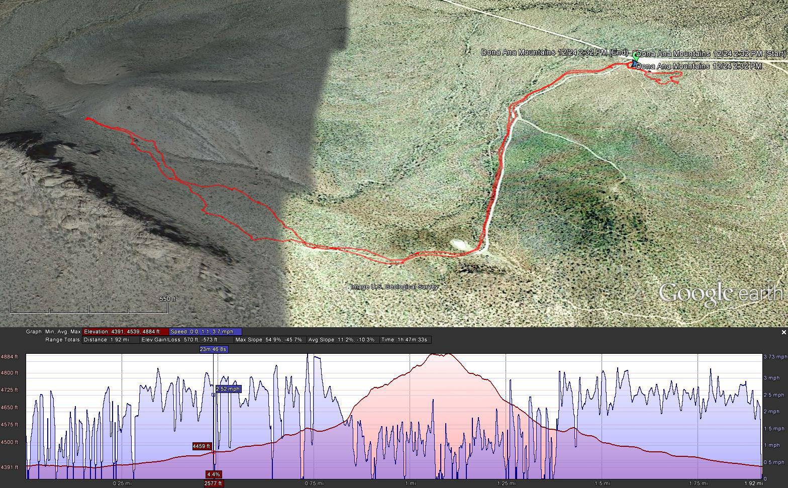
Satellite Map:
Related Photos:

_MG_0662.jpg
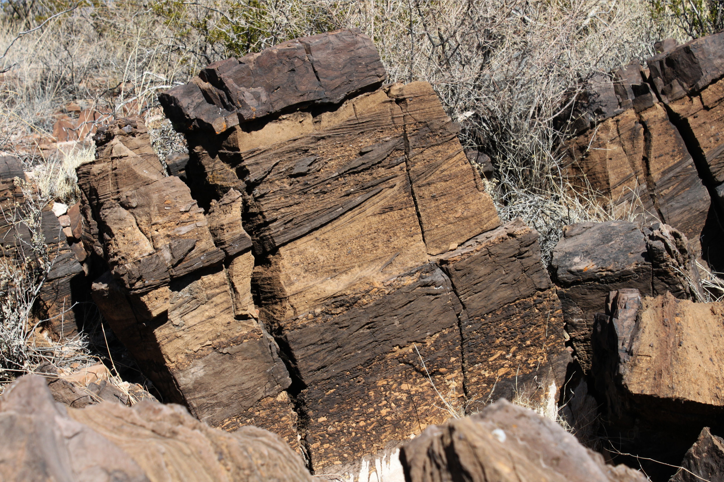
Just a Permian Rock
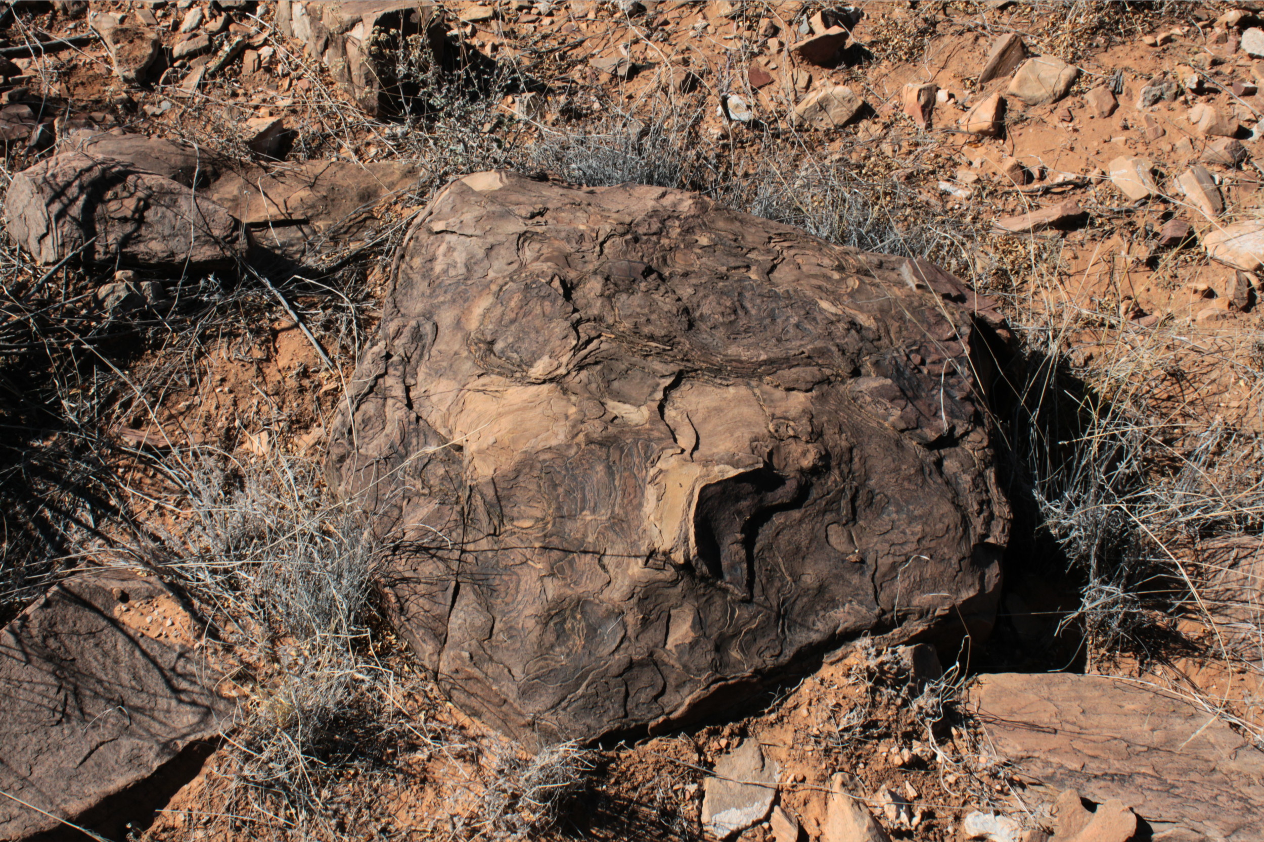
Just a Permian Rock
IMG_5266.jpg

tarantula burrow
IMG_5269.jpg

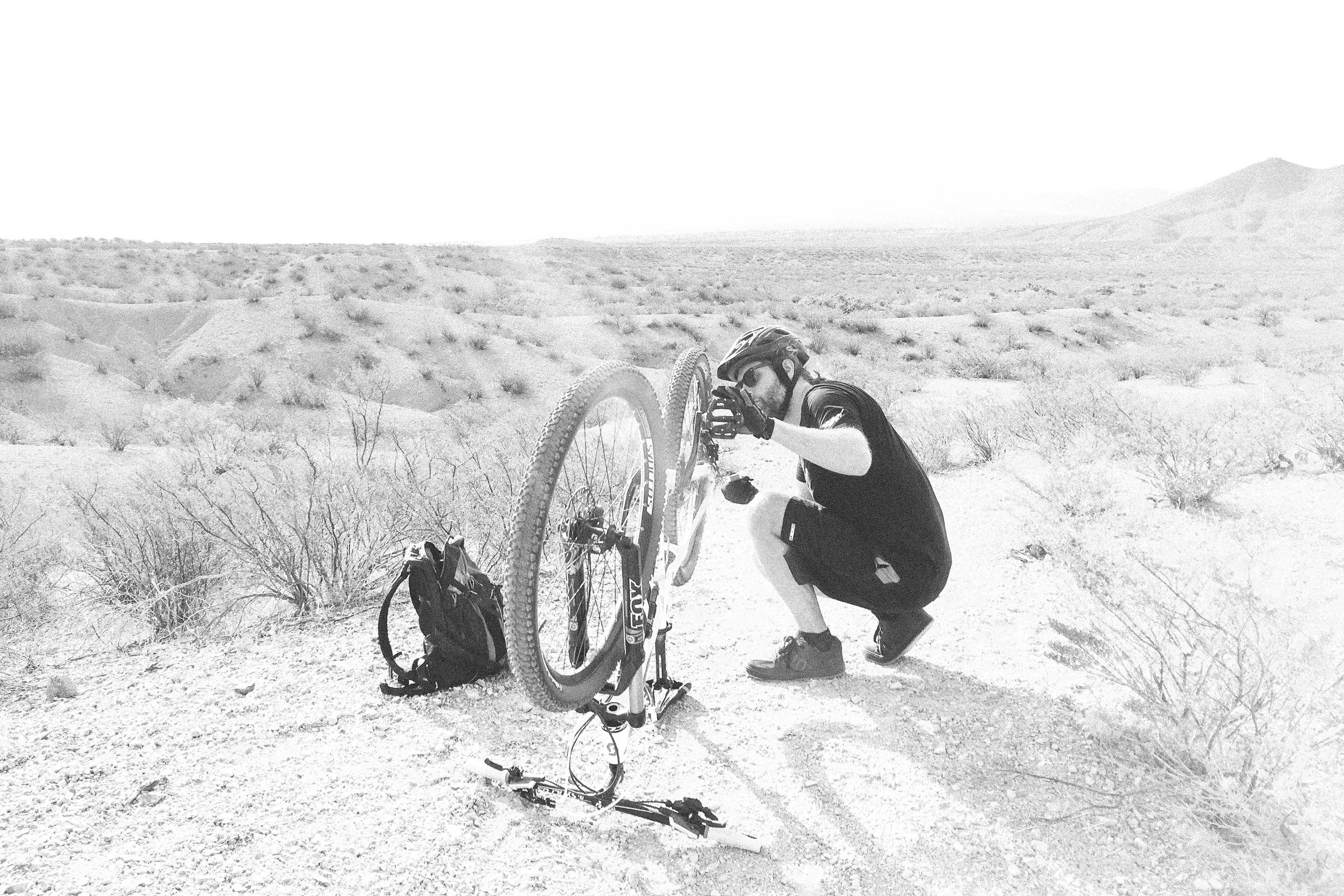
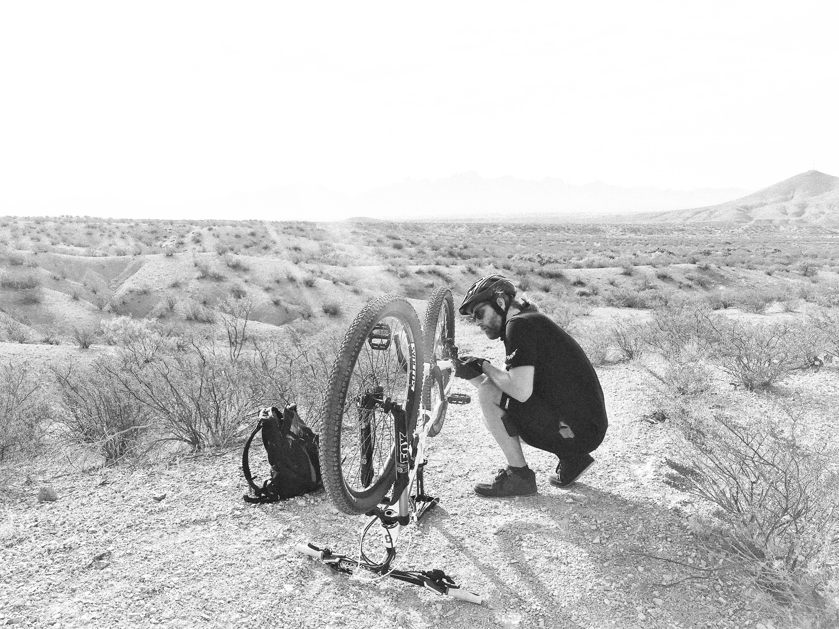
2016 Desert Dash 10K
Chihuahua Desert Nature Park hike

taking a break

picnic with Granny

T post
Topographic Map of Agricultural Research Services, N Jornada Rd, Las Cruces, NM, USA
Find elevation by address:

Places near Agricultural Research Services, N Jornada Rd, Las Cruces, NM, USA:
Chihuahuan Desert Nature Park
Doña Ana County
Las Cruces
14 Bushland Ave
5685 Salina Rd
Unnamed Road
7770 Cattleguard Trail
Moongate Road
Quartzite Mountain
2400 Rincon De Amigos
1900 Eclipse Rd
Mount Baldy
Del Rey Boulevard
San Andres Peak
6390 Wagons E Trail
5933 Leaping Lizard Loop
5940 Sandia Ct
3721 Albion Avenue
3721 Albion Avenue
3721 Albion Avenue
Recent Searches:
- Elevation of Corso Fratelli Cairoli, 35, Macerata MC, Italy
- Elevation of Tallevast Rd, Sarasota, FL, USA
- Elevation of 4th St E, Sonoma, CA, USA
- Elevation of Black Hollow Rd, Pennsdale, PA, USA
- Elevation of Oakland Ave, Williamsport, PA, USA
- Elevation of Pedrógão Grande, Portugal
- Elevation of Klee Dr, Martinsburg, WV, USA
- Elevation of Via Roma, Pieranica CR, Italy
- Elevation of Tavkvetili Mountain, Georgia
- Elevation of Hartfords Bluff Cir, Mt Pleasant, SC, USA