Elevation of Agoudim, Morocco
Location: Morocco > Drâa-tafilalet > Khenifra Province >
Longitude: -5.1800318
Latitude: 32.3819753
Elevation: 2014m / 6608feet
Barometric Pressure: 79KPa
Elevation Map:
Satellite Map:
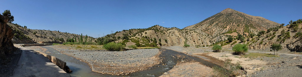
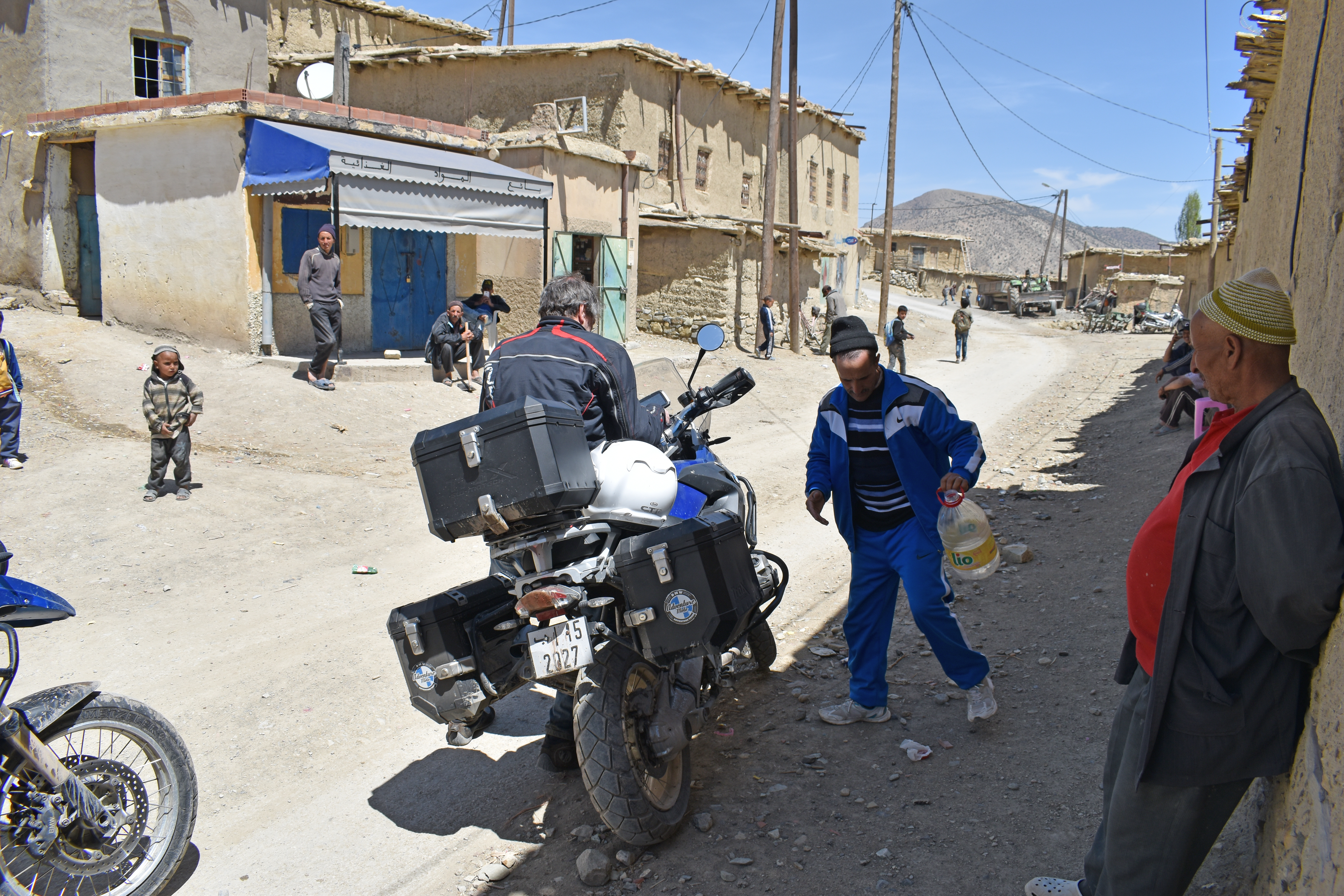
Related Photos:

Anochecer sobre el Atlas

Anochecer sobre el Atlas
Ait Daoud, Meknes-Tafilalet, Morocco

Atardecer sobre el Atlas
2017_Marokko_motor_DSC_0313-1

2005-10-12 19-19-23 JT
Topographic Map of Agoudim, Morocco
Find elevation by address:

Places near Agoudim, Morocco:
Recent Searches:
- Elevation of Corso Fratelli Cairoli, 35, Macerata MC, Italy
- Elevation of Tallevast Rd, Sarasota, FL, USA
- Elevation of 4th St E, Sonoma, CA, USA
- Elevation of Black Hollow Rd, Pennsdale, PA, USA
- Elevation of Oakland Ave, Williamsport, PA, USA
- Elevation of Pedrógão Grande, Portugal
- Elevation of Klee Dr, Martinsburg, WV, USA
- Elevation of Via Roma, Pieranica CR, Italy
- Elevation of Tavkvetili Mountain, Georgia
- Elevation of Hartfords Bluff Cir, Mt Pleasant, SC, USA