Elevation map of Agadez Region, Niger

Location: Niger >

Longitude: 12.0718281

Latitude: 20.6670752

Elevation: 460m / 1509feet

Barometric Pressure: 96KPa

Elevation Map:

elevation map of Agadez Region, Niger

Satellite Map:

Satellite map of Agadez Region, Niger

Related Photos:

africa niger flag bandeiras nigér
Niger / Nigér
agadez niger sahara russellscottimages
young girl in agadez street
agadez niger sahara russellscottimages
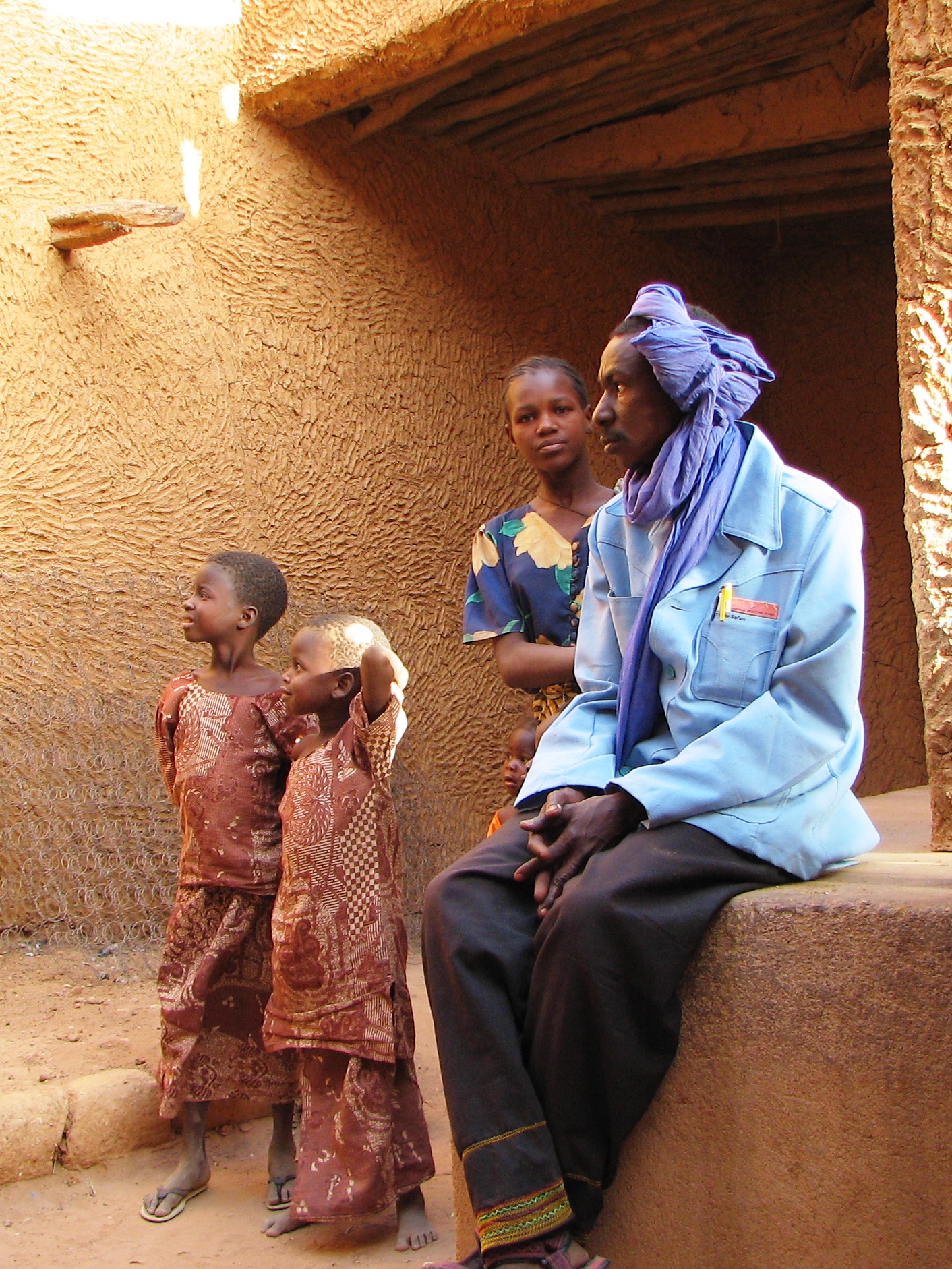
Tuareg man, mother and children (Agadez)
agadez niger sahara russellscottimages
children running (agadez)
agadez niger sahara russellscottimages
two children in agadez
niger agadez sahara russellscottimages
cityscape view of Agadez
agadez niger sahara russellscottimages
street stall (Agadez)
agadez niger sahara russellscottimages
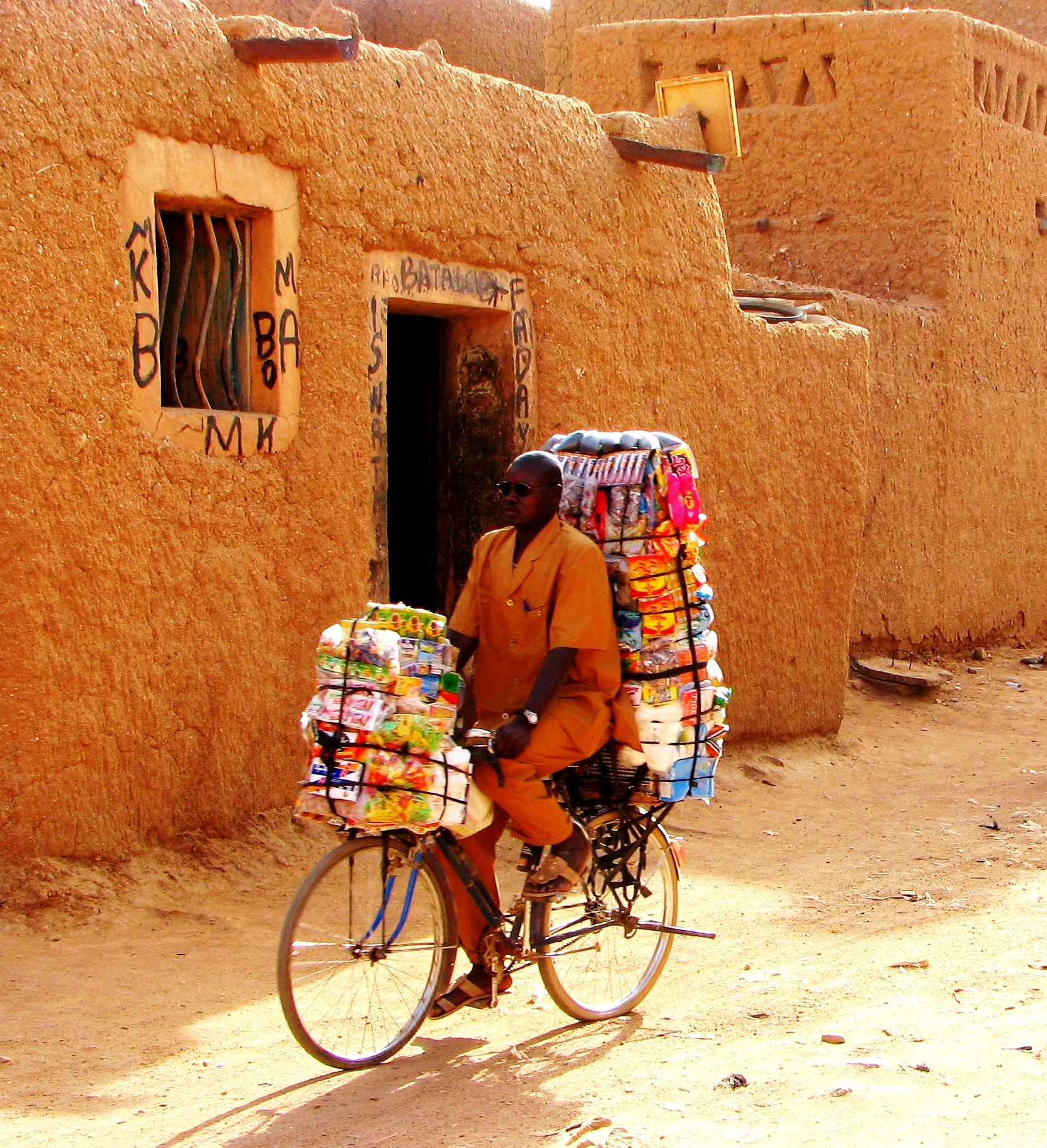
man on bicycle - Agadez
agadez niger sahara russellscottimages
street scene in Agadez
agadez niger sahara russellscottimages
woman in street (Agadez)
agadez niger sahara russellscottimages
children on outskirts of Agadez (63)10
niger agadez sahara russellscottimages
View of Agadez, from mosque's minaret
niger agadez sahara russellscottimages
rooftop view of Agadez
agadez niger sahara russellscottimages
women in red - Agadez
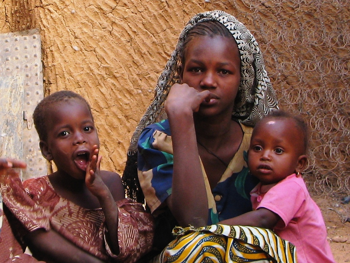
agadez niger sahara russellscottimages
mother and children
agadez niger sahara russellscottimages
children in street - Agadez (12)
niger agadez sahara agadezgrandmosque agadezmosque russellscottimages
Agadez Grand Mosque
agadez niger sahara russellscottimages
young child (Agadez)
agadez niger sahara womanwithgreenshawl russellscottimages
woman in street (Agadez)
bldigital date1878 pubplacelondon publicdomain sysnum003055004 reclusélisée medium vol11 page535 mechanicalcurator imagesfrombook003055004 imagesfromvolume00305500411 map wp:bookspage=geography georefphase2 sherlocknet:tag=form sherlocknet:tag=region sherlocknet:tag=river sherlocknet:tag=format sherlocknet:tag=land sherlocknet:tag=stone sherlocknet:tag=mountain sherlocknet:tag=side sherlocknet:tag=water sherlocknet:tag=nation sherlocknet:tag=rock sherlocknet:tag=valley sherlocknet:tag=rout sherlocknet:tag=state sherlocknet:tag=wall sherlocknet:tag=accord sherlocknet:category=text hasgeoref geo:osmscale=8 geo:continent=africa geo:country=ne geo:country=niger geo:region=agadez geo:county=bilma
Image taken from page 535 of 'The Earth and its Inhabitants. The European section of the Universal Geography by E. Reclus. Edited by E. G. Ravenstein. Illustrated by ... engravings and maps'
bldigital date1878 pubplacelondon publicdomain sysnum003055004 reclusélisée large vol11 page571 mechanicalcurator imagesfrombook003055004 imagesfromvolume00305500411 map wp:bookspage=geography hasgeoref georefphase2 geo:osmscale=8 geo:continent=africa geo:country=ne geo:country=niger geo:region=agadez sherlocknet:tag=town sherlocknet:tag=river sherlocknet:tag=island sherlocknet:tag=vast sherlocknet:tag=county sherlocknet:tag=mile sherlocknet:tag=water sherlocknet:tag=name sherlocknet:tag=place sherlocknet:tag=import sherlocknet:tag=house sherlocknet:tag=mountain sherlocknet:tag=whole sherlocknet:tag=point sherlocknet:tag=principe sherlocknet:tag=side sherlocknet:category=maps
British Library digitised image from page 571 of "The Earth and its Inhabitants. The European section of the Universal Geography by E. Reclus. Edited by E. G. Ravenstein. Illustrated by ... engravings and maps"
cattle herder localpeople animals mammals dryforests people human humanbeing humanbeings humans person tchirozerine agadezregion niger ne event photocompetition glf2018nairobi
Herder of the Sahel