Elevation of Aerodromo Maria Reiche, Panamericana Sur, Peru
Location: Peru > Ica > Nazca Province >
Longitude: -74.960737
Latitude: -14.854662
Elevation: 552m / 1811feet
Barometric Pressure: 95KPa
Elevation Map:
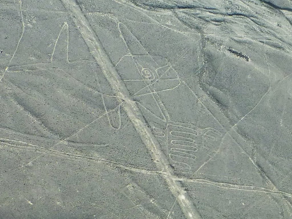
Satellite Map:
Related Photos:
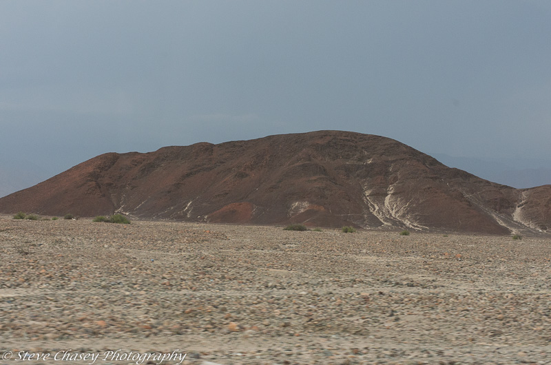
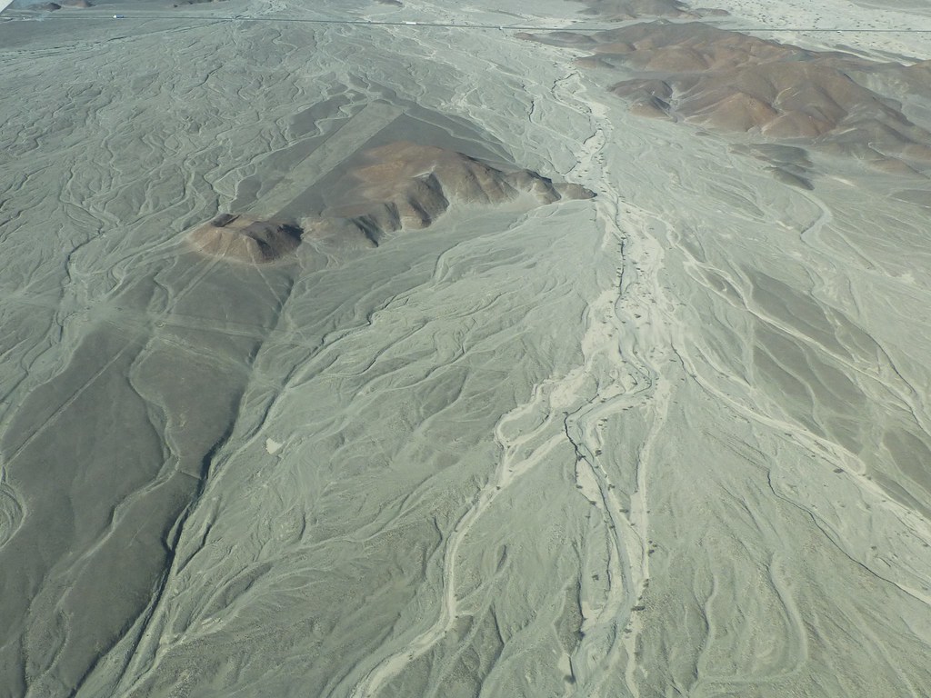
K5II-080315-127
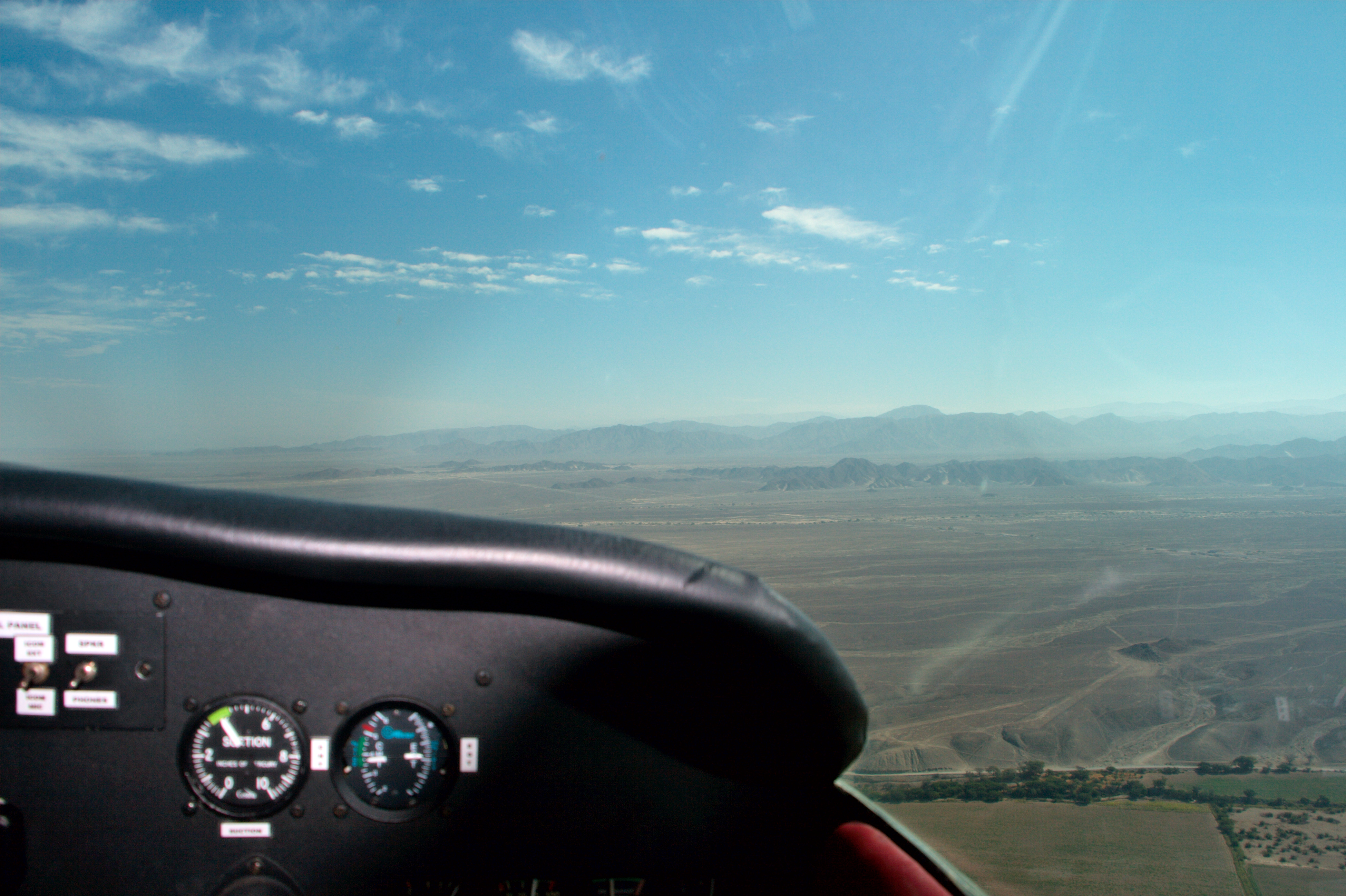
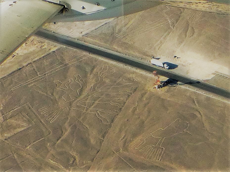
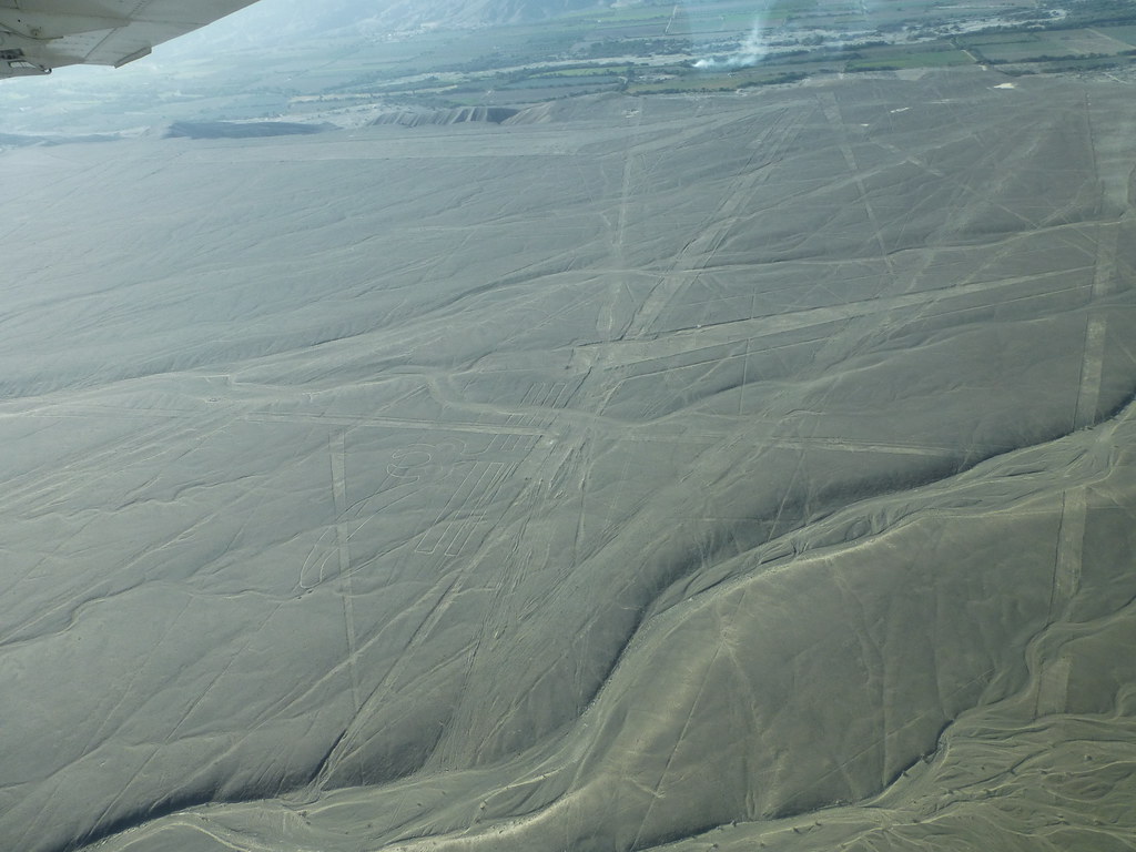
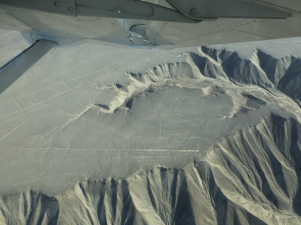
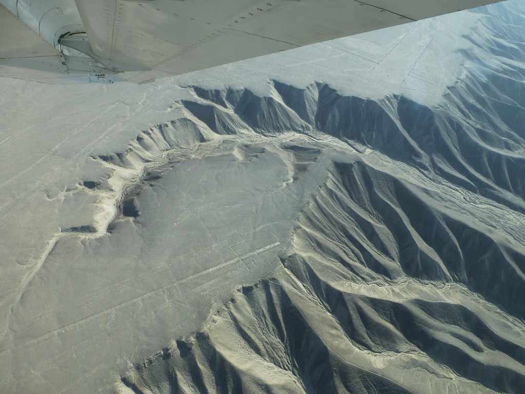
The view from the cockpit
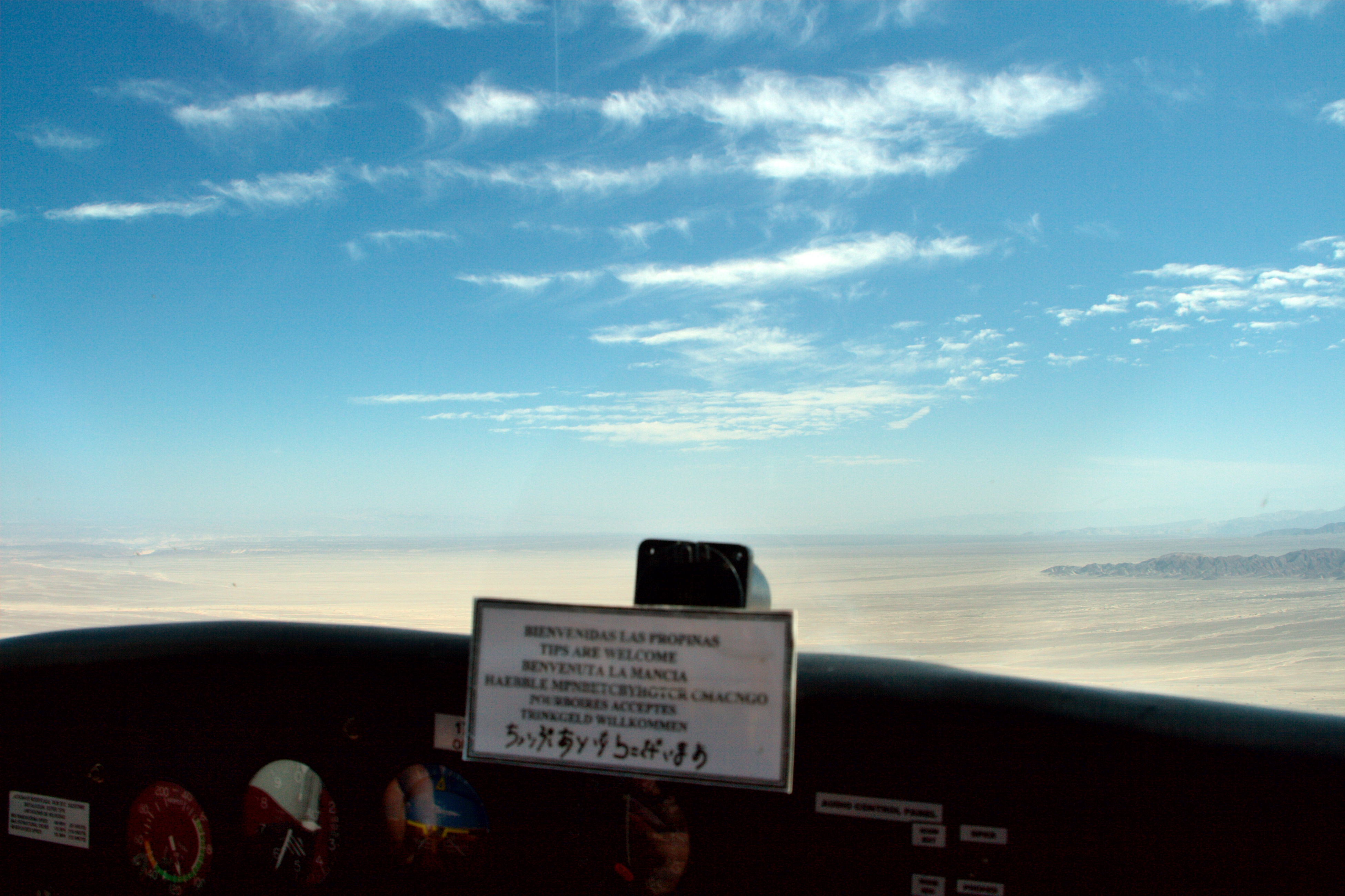
View from the cockpit
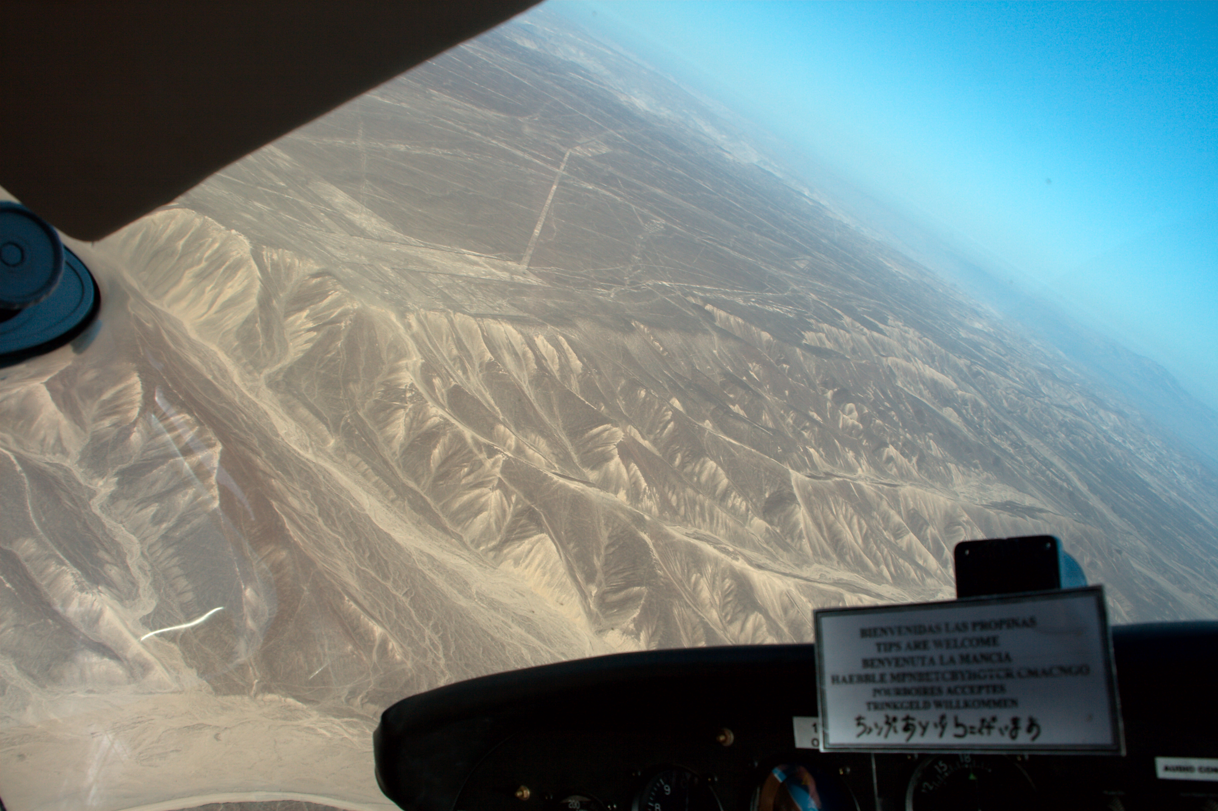
View from the cockpit
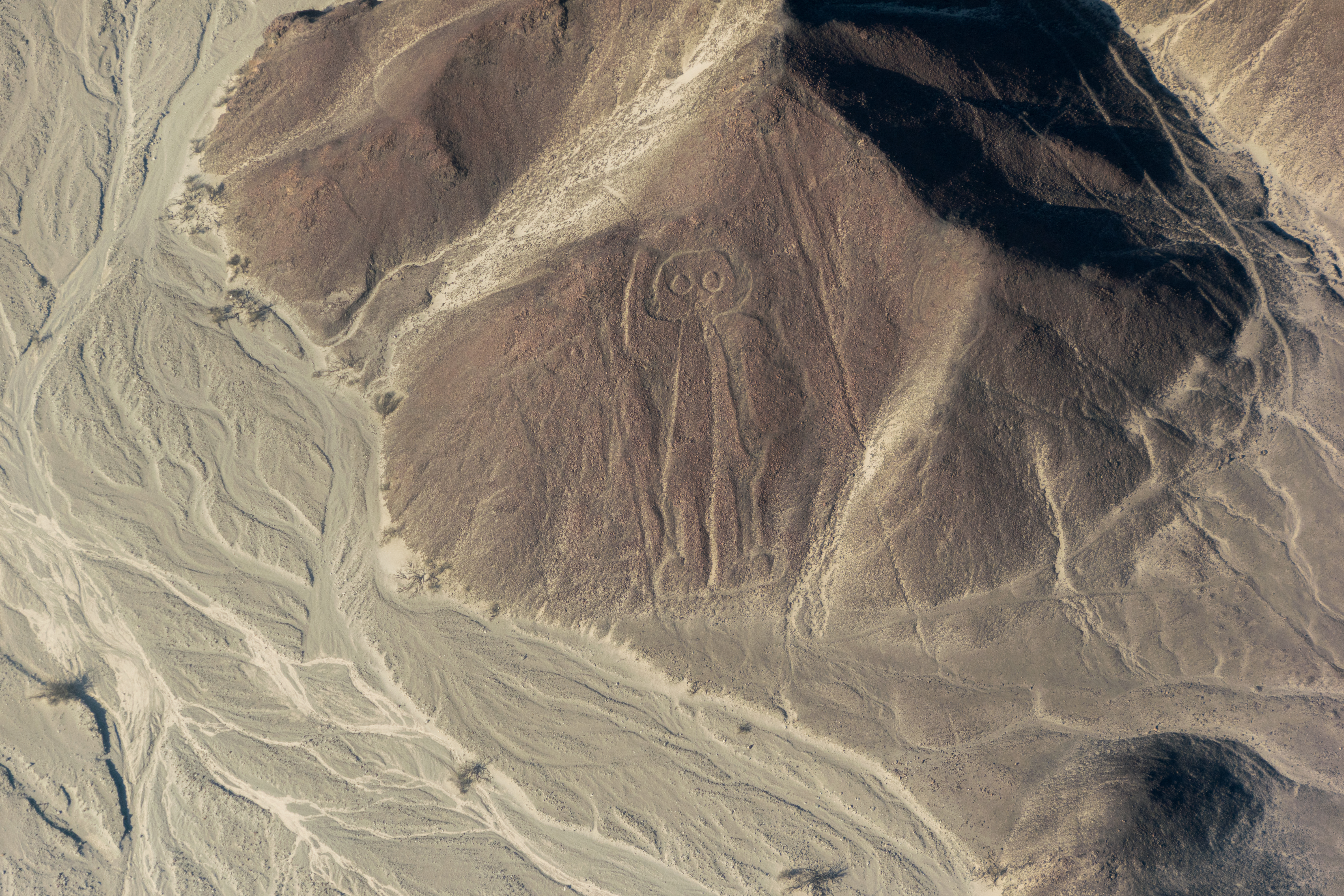
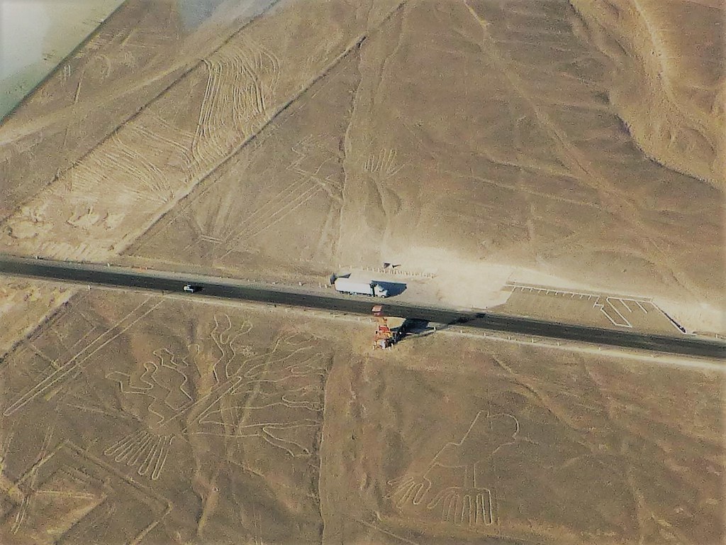
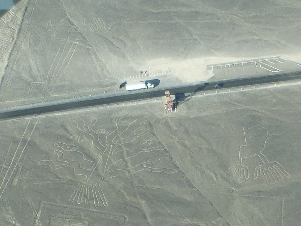
The Owlman
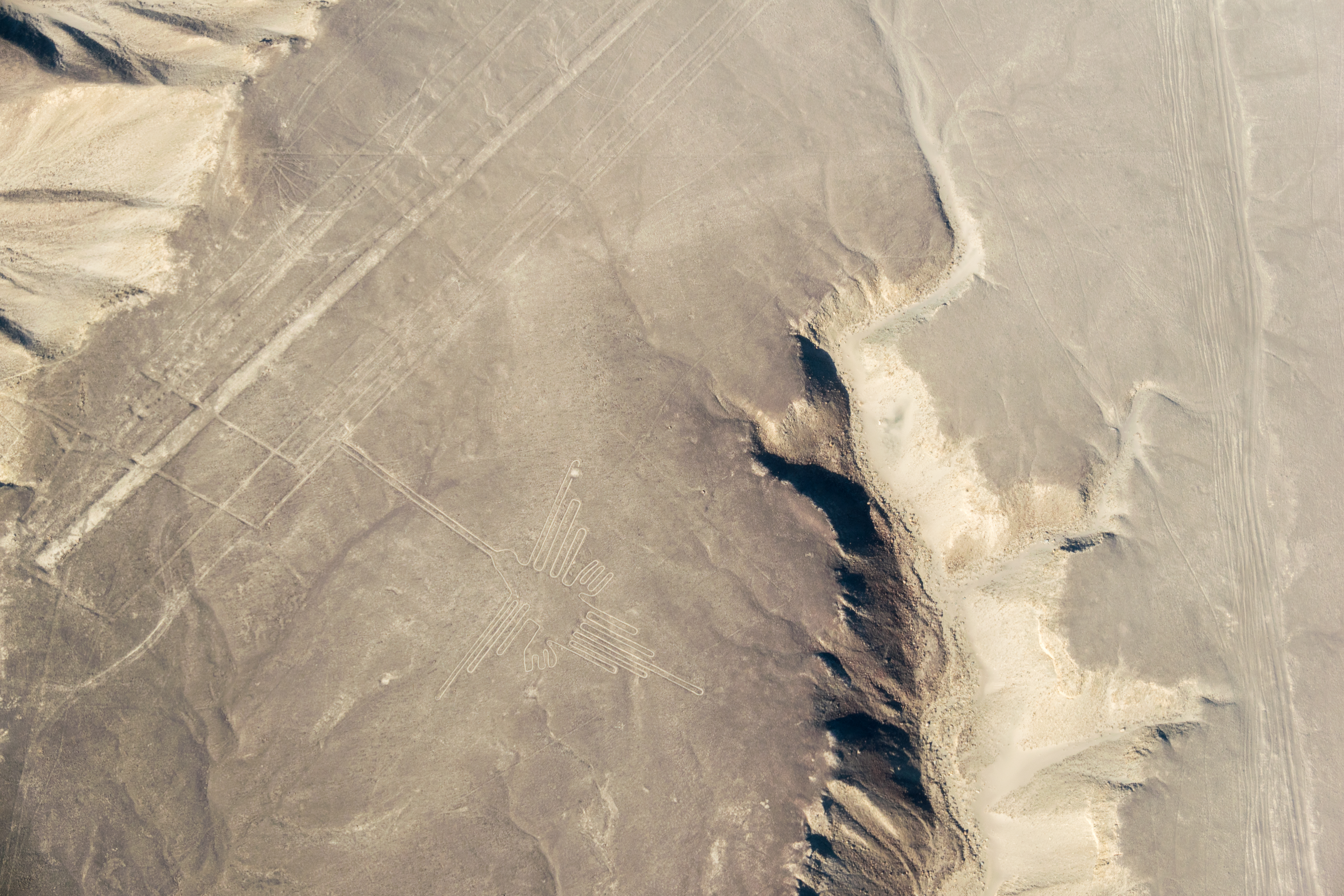
The Hummingbird
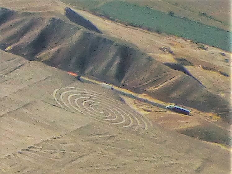
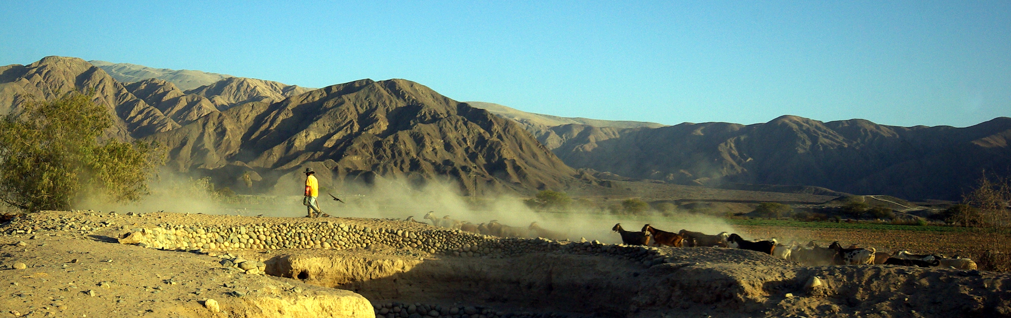
Nazca, Peru
Nazca, Peru

Aspettando Linee
P1210607 (2)
Eidechse, Baum, Hände 3
P1210672 (3)
S8270553.jpg
Eidechse, Hand, Echse 3
Eidechse, Baum, Hände 2
Alcatraz (Heron Bird) 3
Papagei (Parot) 1
Cmentarzysko Chachilla
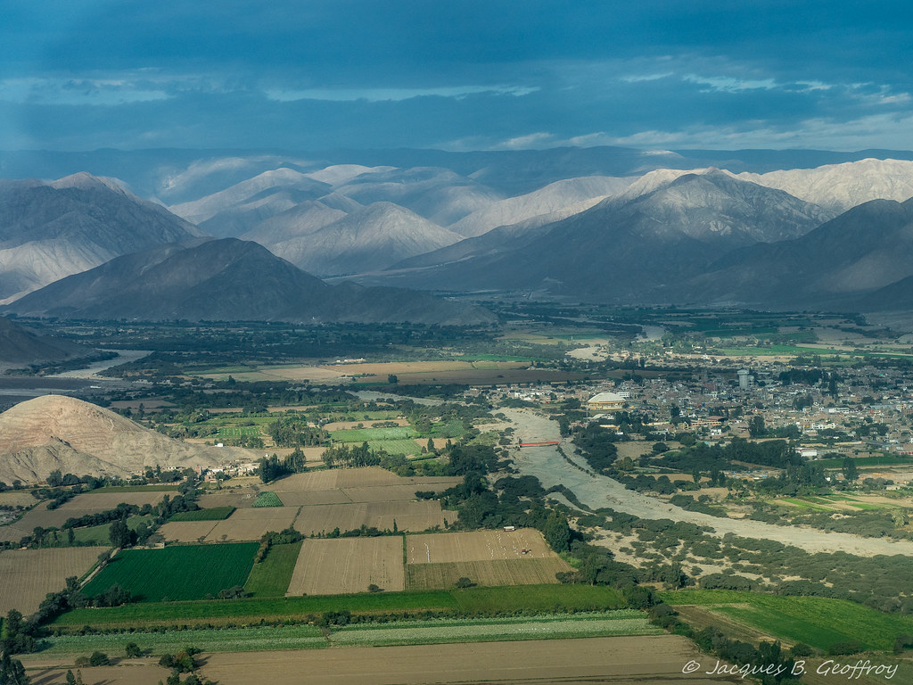
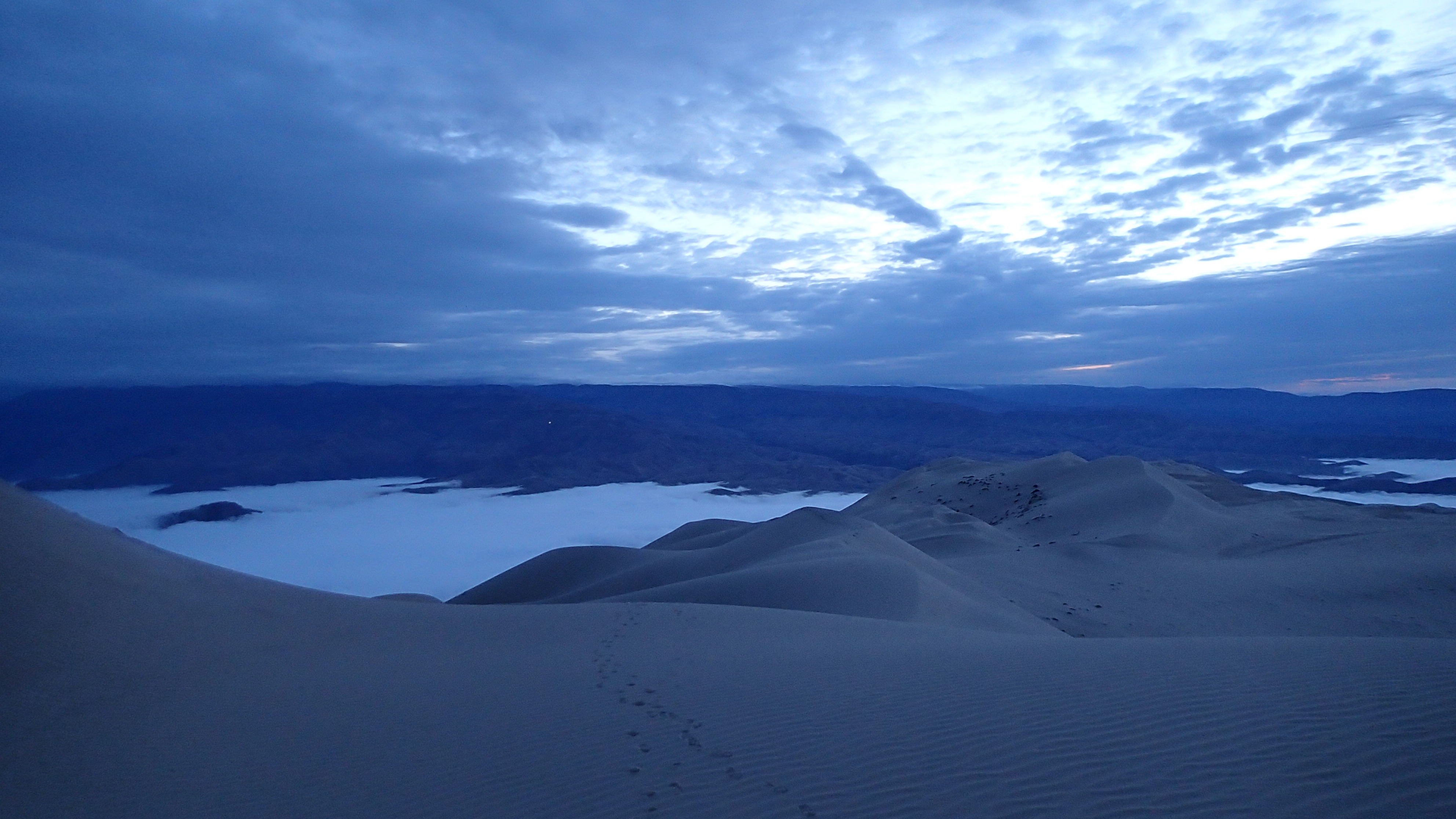
1995-04-10_0637_Peru-847

Kolibri (Hummingbird) 1
Curvas en la carretera
Eidechse, Baum, Hände 2
Kolibri (Hummingbird) 1
Kolibri (Hummingbird) 1
Nazca (222)
PEROU - Nasca
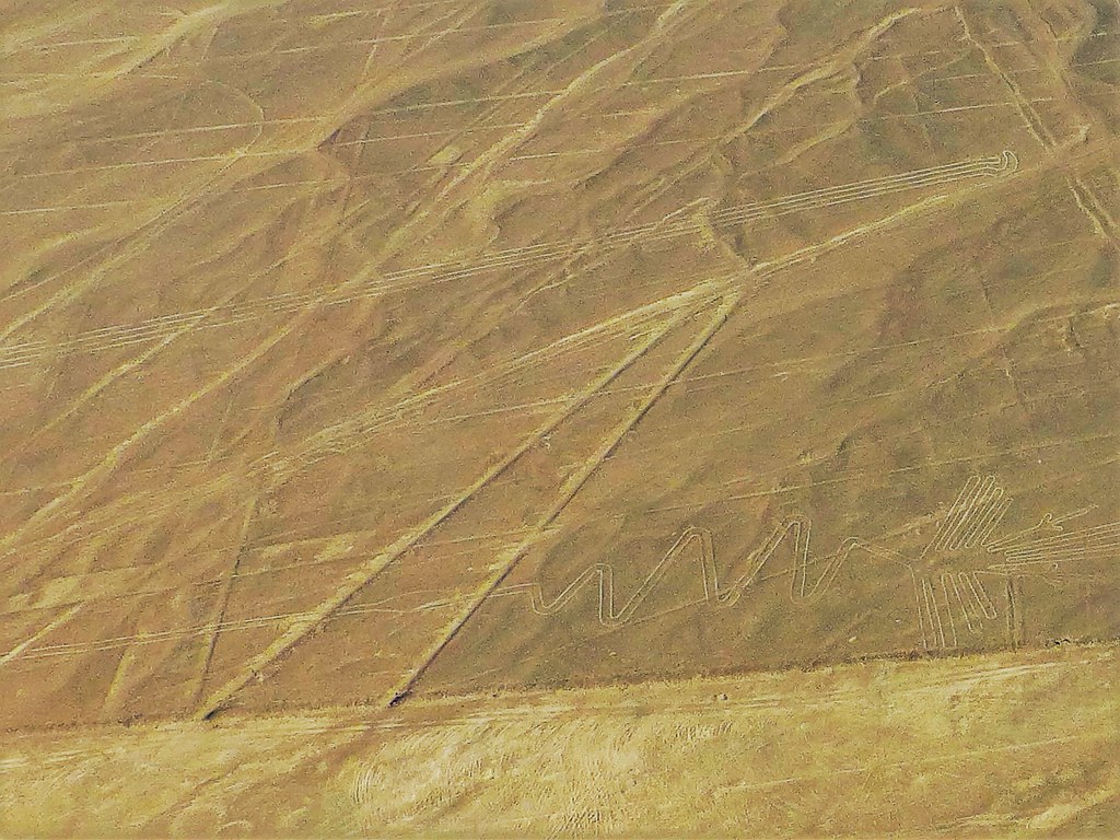
Wal (Whale)
Topographic Map of Aerodromo Maria Reiche, Panamericana Sur, Peru
Find elevation by address:

Places near Aerodromo Maria Reiche, Panamericana Sur, Peru:
Nazca Province
Callao 483
Nazca
El Nuevo Cantalloc
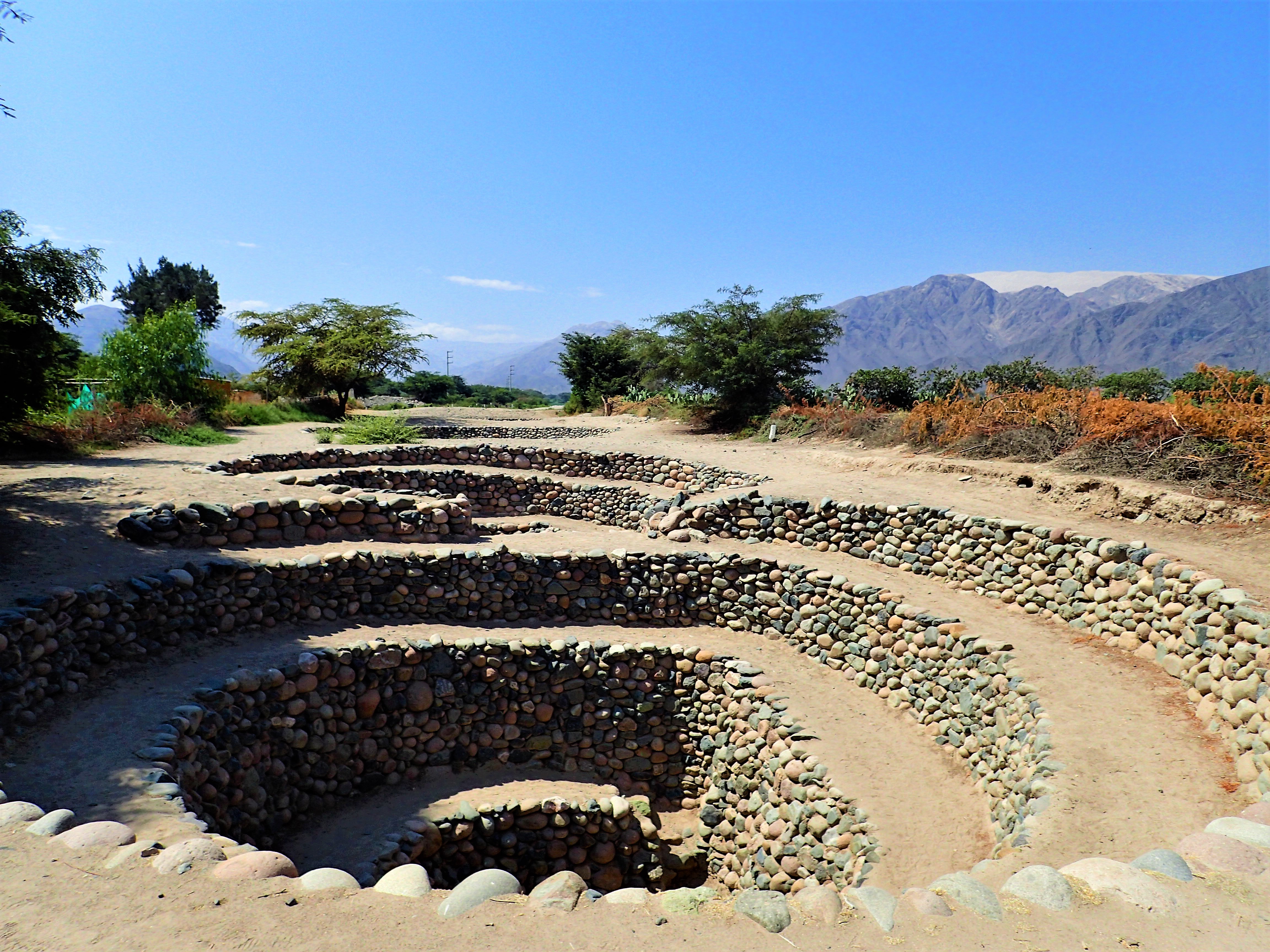
Chauchilla Cemetery
Carr Interoceánica 80, Peru
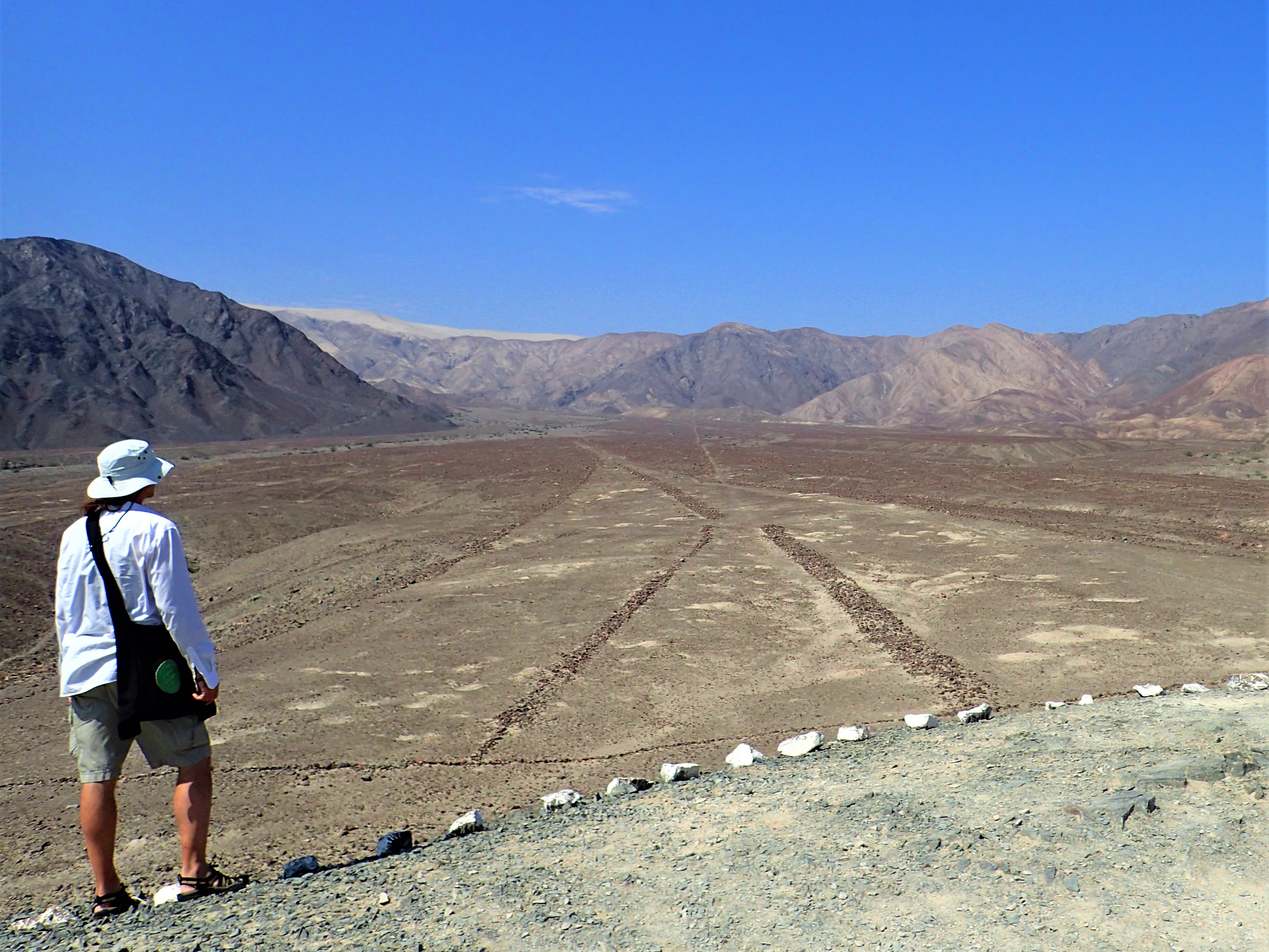
Nazca Lines
Patacancha
Carr. Interoceanica 56, Peru
Caravelí Province
Ica
Ica
La Libertad, Ica, Peru
Plaza De Armas De Ica
Huacachina
Recent Searches:
- Elevation of Corso Fratelli Cairoli, 35, Macerata MC, Italy
- Elevation of Tallevast Rd, Sarasota, FL, USA
- Elevation of 4th St E, Sonoma, CA, USA
- Elevation of Black Hollow Rd, Pennsdale, PA, USA
- Elevation of Oakland Ave, Williamsport, PA, USA
- Elevation of Pedrógão Grande, Portugal
- Elevation of Klee Dr, Martinsburg, WV, USA
- Elevation of Via Roma, Pieranica CR, Italy
- Elevation of Tavkvetili Mountain, Georgia
- Elevation of Hartfords Bluff Cir, Mt Pleasant, SC, USA