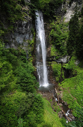
Elevation map of Adjara, Georgia
Location: Georgia >
Longitude: 42.0688383
Latitude: 41.6005626
Elevation: 1494m / 4902feet
Barometric Pressure: 85KPa
Related Photos:
Topographic Map of Adjara, Georgia
Find elevation by address:

Places in Adjara, Georgia:
Places near Adjara, Georgia:
Kirnati
Batumi
Kafkasör Sokak
Atabari Kayak Merkezi
Artvin
Poti
Yusufeli
Merkez Mahallesi
Yusufeli
Fırtına Mahallesi
Fırtına Deresi
Fırtına Deresi
Rize
Recent Searches:
- Elevation of Corso Fratelli Cairoli, 35, Macerata MC, Italy
- Elevation of Tallevast Rd, Sarasota, FL, USA
- Elevation of 4th St E, Sonoma, CA, USA
- Elevation of Black Hollow Rd, Pennsdale, PA, USA
- Elevation of Oakland Ave, Williamsport, PA, USA
- Elevation of Pedrógão Grande, Portugal
- Elevation of Klee Dr, Martinsburg, WV, USA
- Elevation of Via Roma, Pieranica CR, Italy
- Elevation of Tavkvetili Mountain, Georgia
- Elevation of Hartfords Bluff Cir, Mt Pleasant, SC, USA


