Elevation of Adger, AL, USA
Location: United States > Alabama > Jefferson County >
Longitude: -87.092429
Latitude: 33.376611
Elevation: 135m / 443feet
Barometric Pressure: 100KPa
Elevation Map:
Satellite Map:
Related Photos:
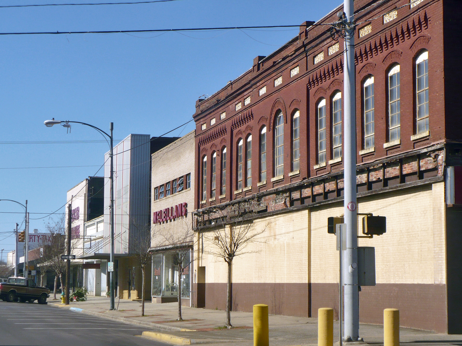
19th Street Bessemer

Better Days

lady view

girls view
November 6, 2011

SOU 6902 & 4 more
Bessemer_RR_Depot-14

Sloss Mines
Watercress Darter National Wildlife Refuge
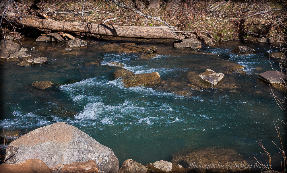
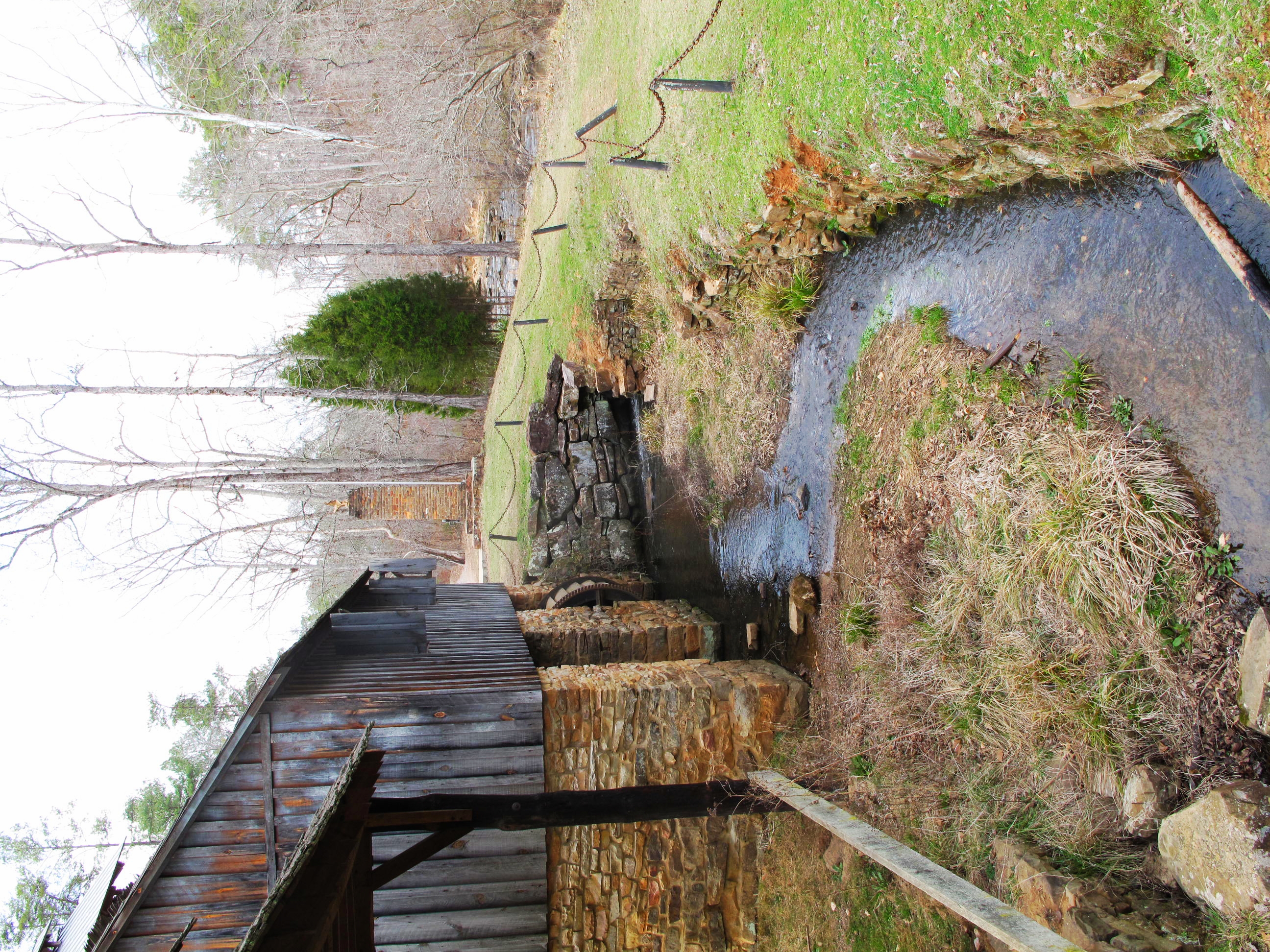
Grist Mill Dam - Tannehill Ironworks Historical State Park
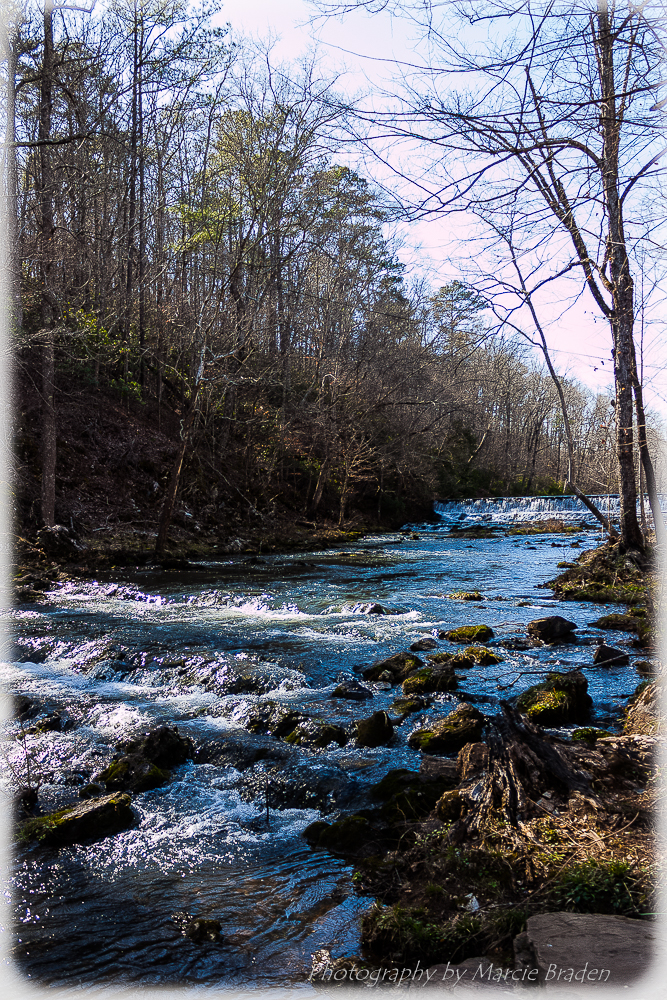
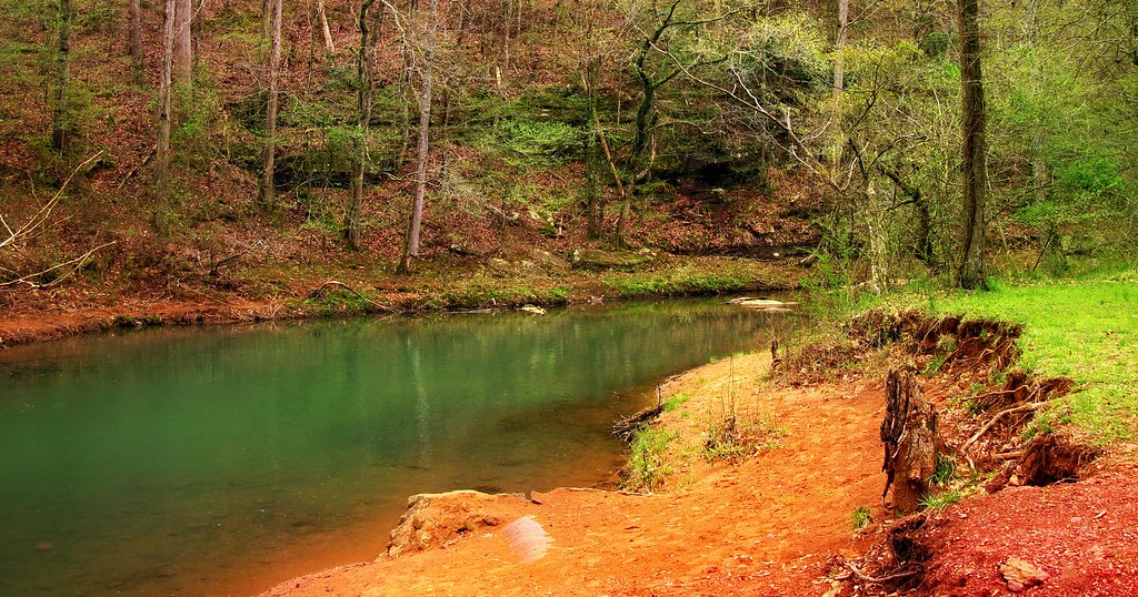
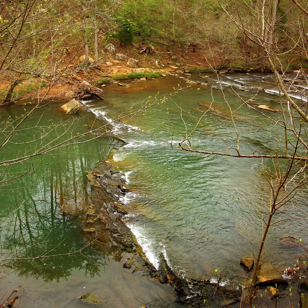
Roupes Creek - Tannehill Ironworks Historical State Park
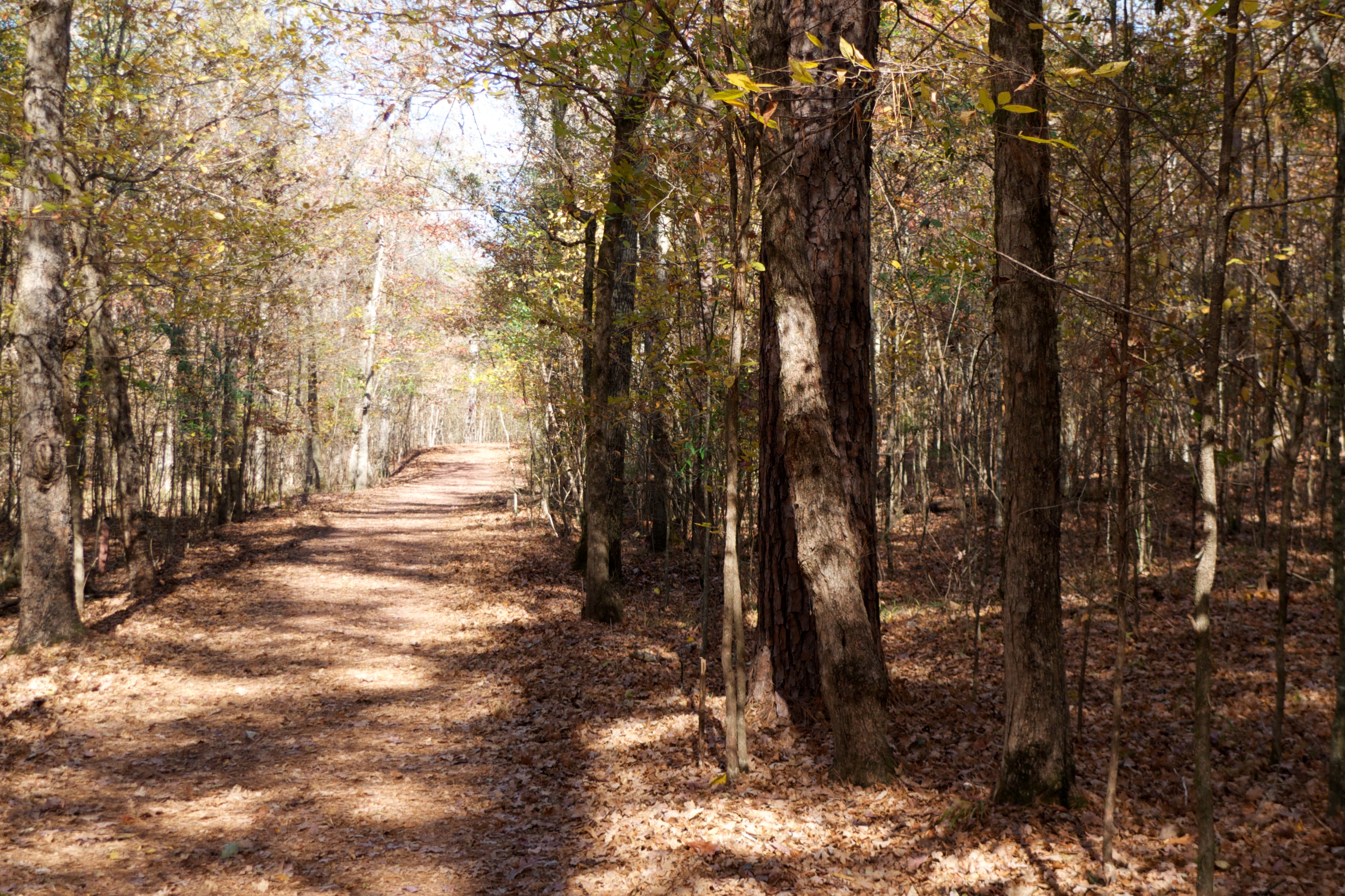
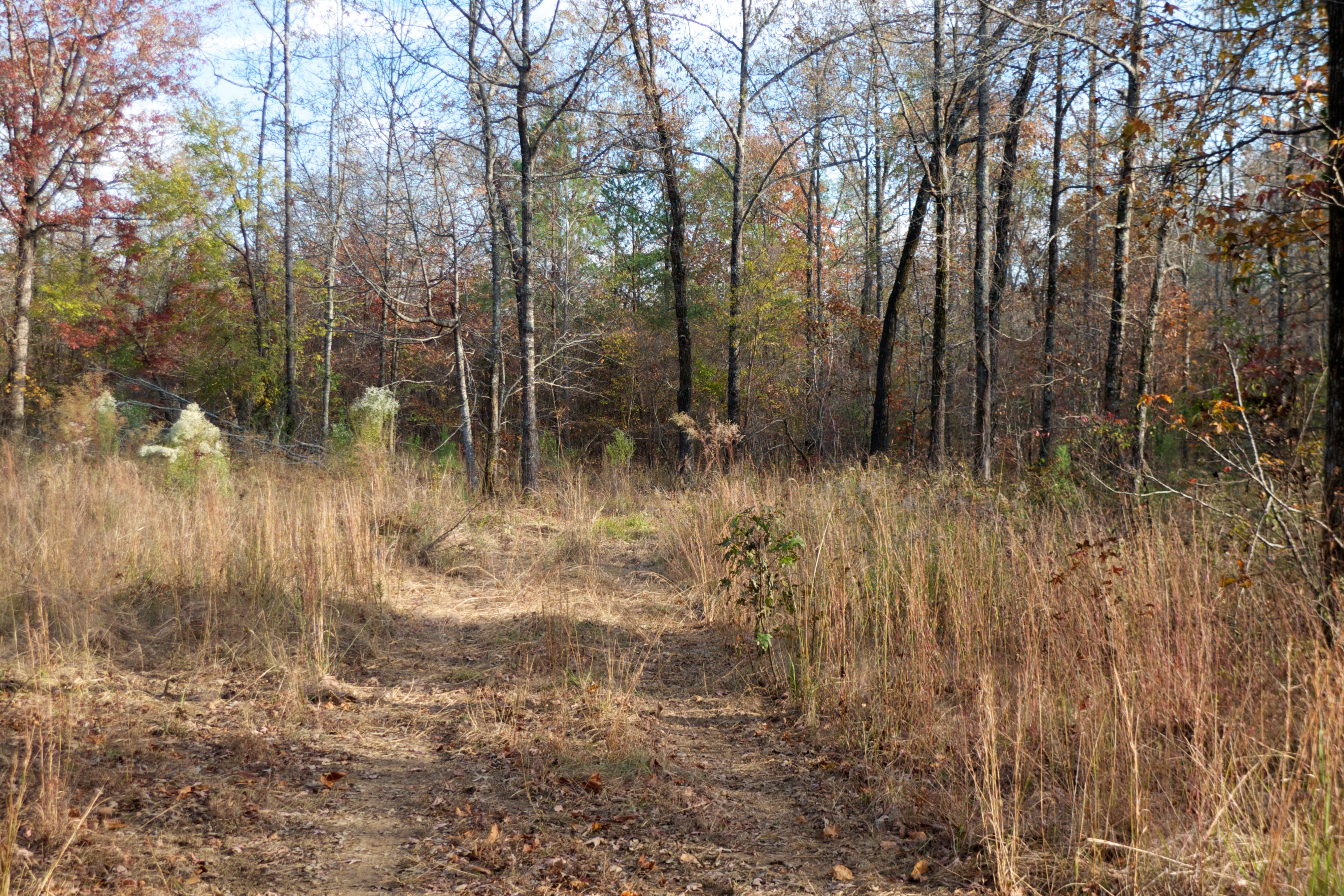
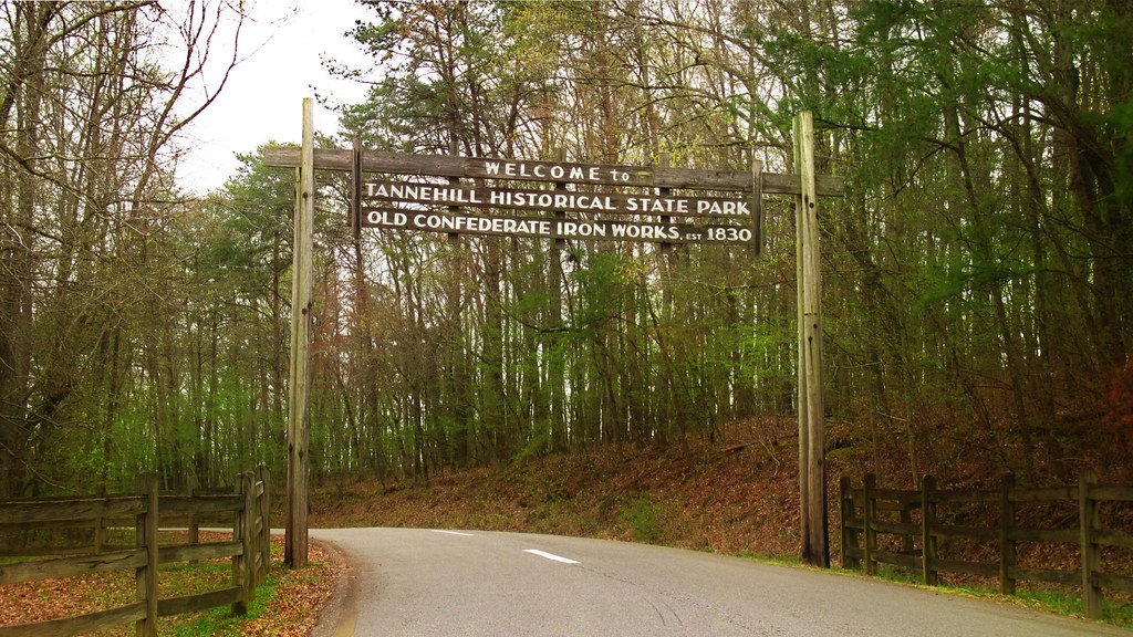
Tannehill State Park
19-IMG_3974

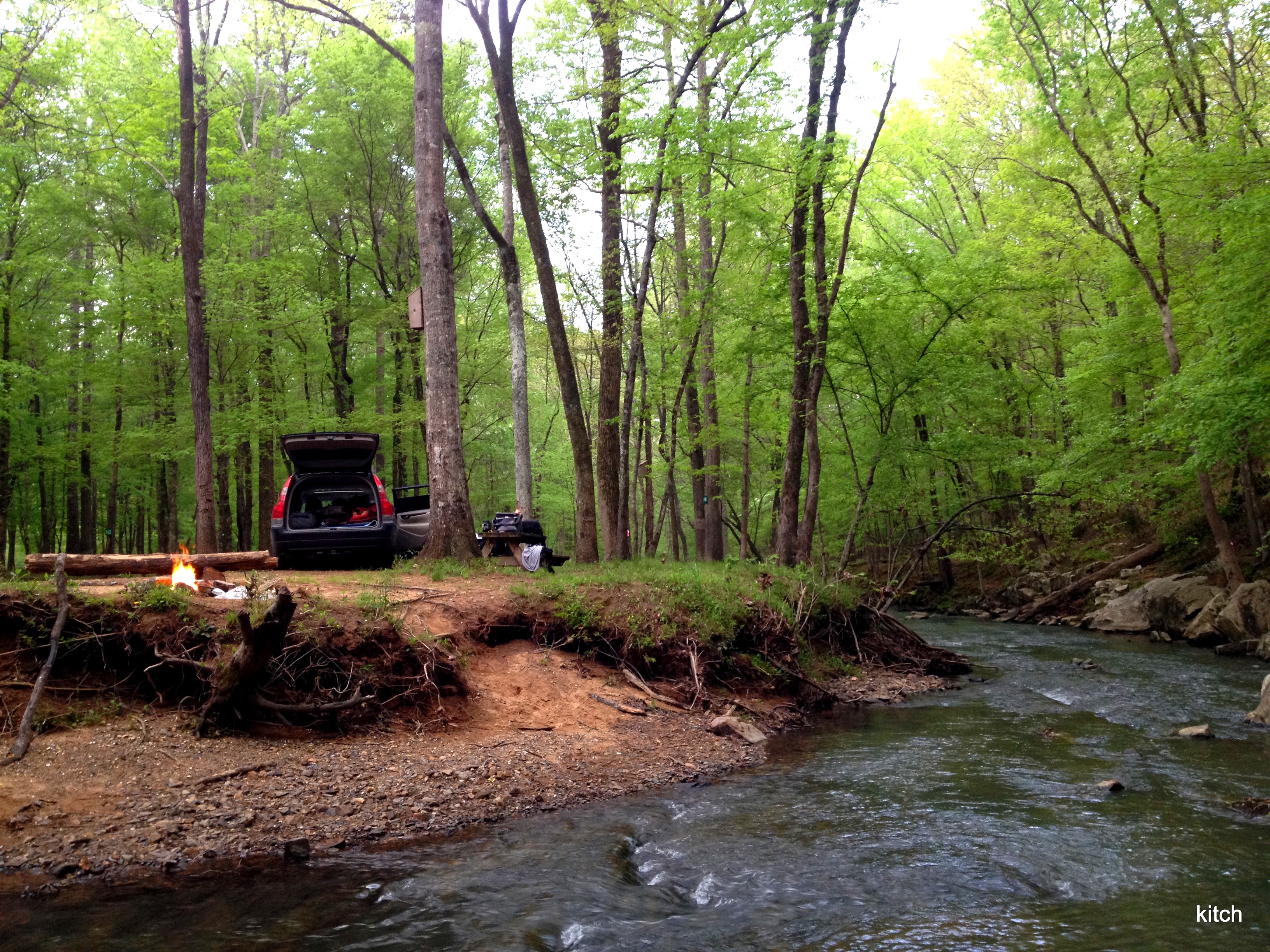
Tannehill State Park
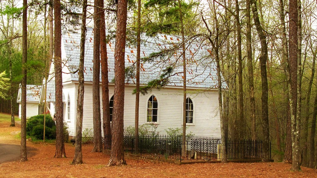
Tannehill Ironworks Historical State Park, Tuscaloosa County (Ala.), 24 February 2011
Tannehill State Park

228-001

100404 Tannehill Ironworks Historical Park (Alabama)
100404 Tannehill Ironworks Historical Park (Alabama)
100404 Tannehill Ironworks Historical Park (Alabama)
100404 Tannehill Ironworks Historical Park (Alabama)
100404 Tannehill Ironworks Historical Park (Alabama)
Topographic Map of Adger, AL, USA
Find elevation by address:

Places in Adger, AL, USA:
95 Hurd Shoals Rd, Adger, AL, USA
Little Shoals Rd, Adger, AL, USA
Blue Creek Rd, Adger, AL, USA
Mud Creek Rd, Adger, AL, USA
Johns Rd, Adger, AL, USA
Places near Adger, AL, USA:
Johns Rd, Bessemer, AL, USA
Blue Creek Rd, Bessemer, AL, USA
Blue Creek Rd, Adger, AL, USA
Johns Rd, Adger, AL, USA
Johns Rd, Bessemer, AL, USA
Henry Dr, McCalla, AL, USA
McCalla Rd, Bessemer, AL, USA
Magnolia St, Bessemer, AL, USA
Kimbrell Cutoff Rd, McCalla, AL, USA
Lake View
Bell Hill Rd, Bessemer, AL, USA
Alice St, Bessemer, AL, USA
5212 Meadow Ridge Trail
Belcher Dr, Lake View, AL, USA
707 1st Ave Sw
Mc Calla
12764 Oak Forest Dr
Pocahontas Rd, Bessemer, AL, USA
Potter Rd, Bessemer, AL, USA
4th Ave N, Bessemer, AL, USA
Recent Searches:
- Elevation of Corso Fratelli Cairoli, 35, Macerata MC, Italy
- Elevation of Tallevast Rd, Sarasota, FL, USA
- Elevation of 4th St E, Sonoma, CA, USA
- Elevation of Black Hollow Rd, Pennsdale, PA, USA
- Elevation of Oakland Ave, Williamsport, PA, USA
- Elevation of Pedrógão Grande, Portugal
- Elevation of Klee Dr, Martinsburg, WV, USA
- Elevation of Via Roma, Pieranica CR, Italy
- Elevation of Tavkvetili Mountain, Georgia
- Elevation of Hartfords Bluff Cir, Mt Pleasant, SC, USA