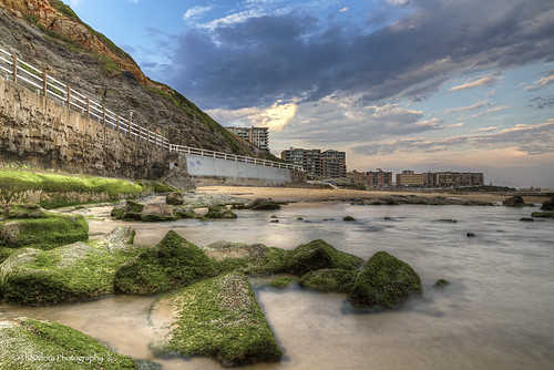
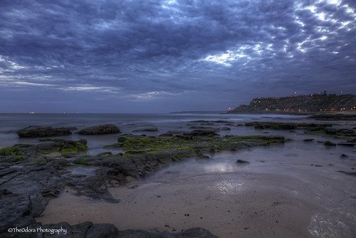
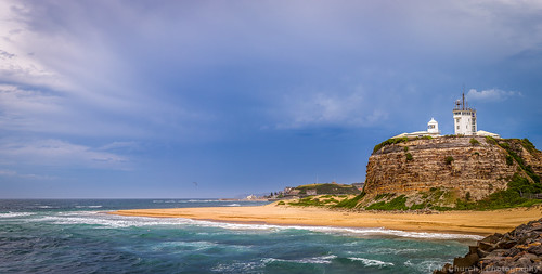
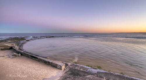
Elevation of Adamstown NSW, Australia
Location: Australia > New South Wales > Newcastle City Council >
Longitude: 151.72584
Latitude: -32.93435
Elevation: -10000m / -32808feet
Barometric Pressure: 295KPa
Related Photos:
Topographic Map of Adamstown NSW, Australia
Find elevation by address:

Places near Adamstown NSW, Australia:
54 Victoria St
2 Fourth St
Adamstown Public School
Myers Park
Adamstown No. 4 Oval
Newcastle Velodrome
Merewether Golf Club
Alder Park
Merewether High School
1 Teralba Rd
Newcastle Racecourse
Broadmeadow
1/131a St James Rd
6 Noel Ave
Pcyc Newcastle
Magic Park
Darling Street Oval
Wallarah Oval
New Lambton
Arthur Edden Oval
Recent Searches:
- Elevation of Corso Fratelli Cairoli, 35, Macerata MC, Italy
- Elevation of Tallevast Rd, Sarasota, FL, USA
- Elevation of 4th St E, Sonoma, CA, USA
- Elevation of Black Hollow Rd, Pennsdale, PA, USA
- Elevation of Oakland Ave, Williamsport, PA, USA
- Elevation of Pedrógão Grande, Portugal
- Elevation of Klee Dr, Martinsburg, WV, USA
- Elevation of Via Roma, Pieranica CR, Italy
- Elevation of Tavkvetili Mountain, Georgia
- Elevation of Hartfords Bluff Cir, Mt Pleasant, SC, USA
