Elevation of Ad-Damazīn, Sudan
Location: Sudan > Blue Nile > Ad Damazin >
Longitude: 34.3421397
Latitude: 11.785454
Elevation: 484m / 1588feet
Barometric Pressure: 96KPa
Elevation Map:
Satellite Map:
Related Photos:

Bug's life

Light in motion

Birds like flowers

Roseires Dam after heightening (blended)

Up and downstream sides of Roseires Dam
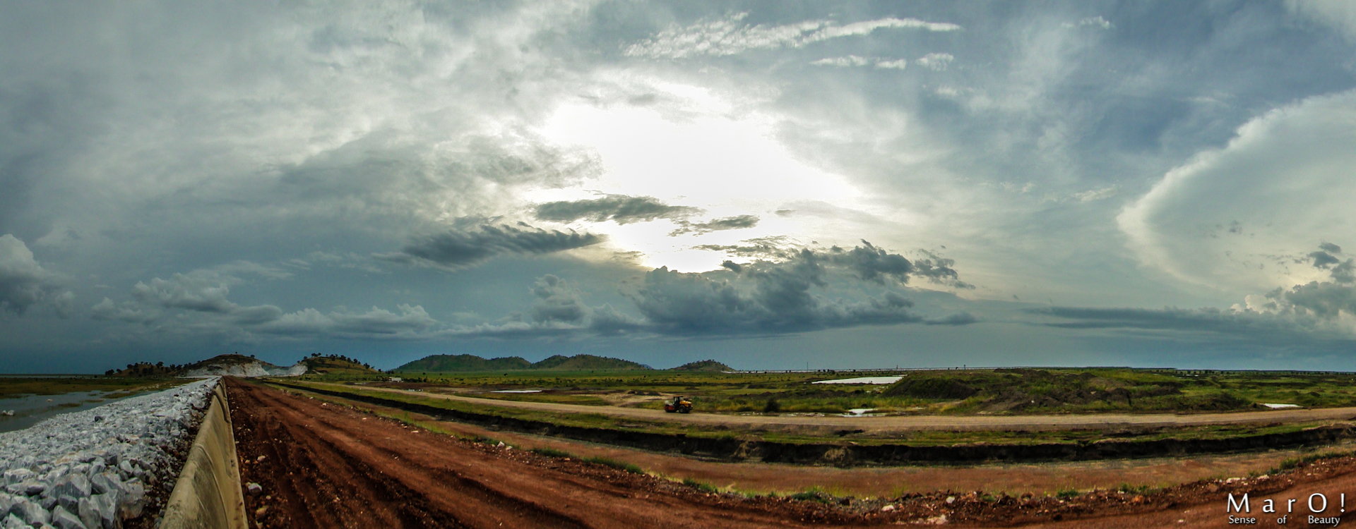
Ad Damazin south west mountains

A grey eagle
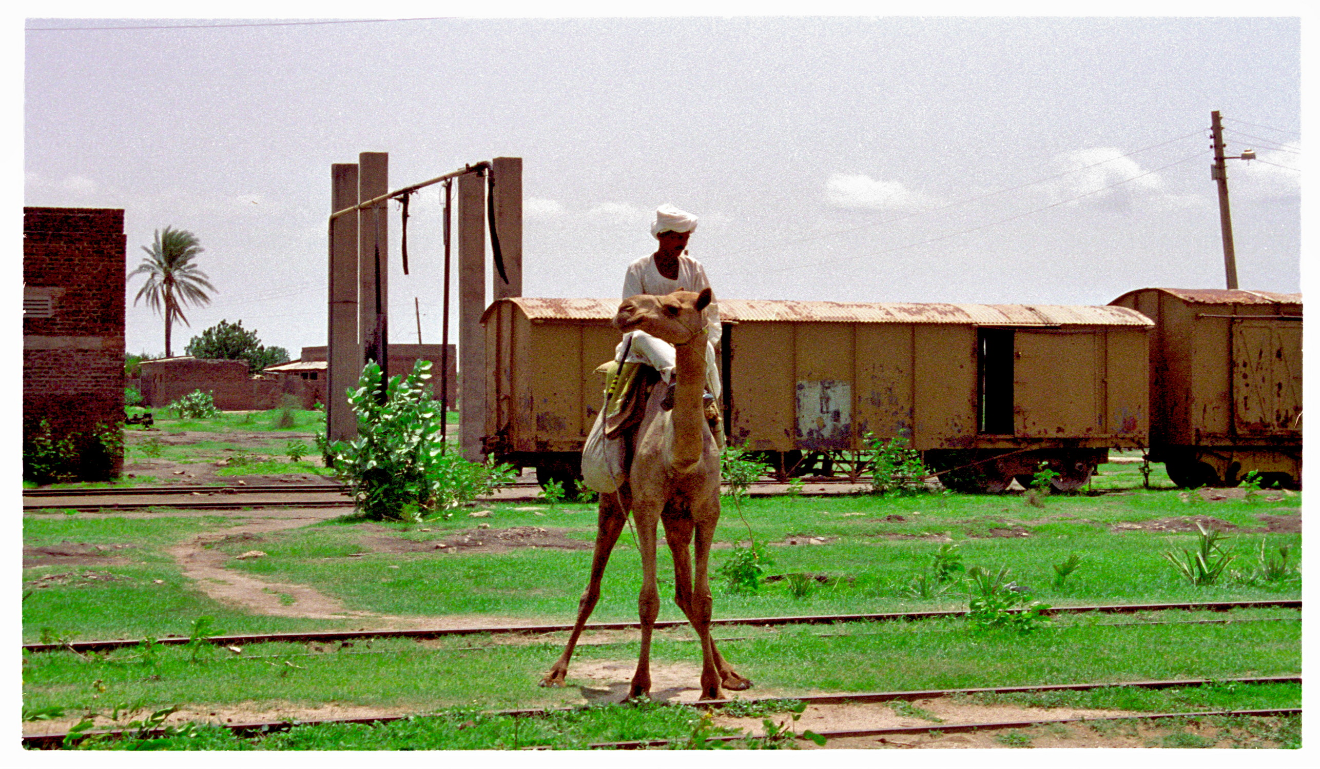
Abandoned Railway Depot in Damazin

Er Roseires (blended)

Be aware of the vortex

Going in the vortex

Golden water

Roseires Dam after heightening

uncle Siddig

The sun inside the tree

The palm trunk

End of a night

Union is power

Nothing is better than a true friend

A man in white

Inner pain

Stand alone
Topographic Map of Ad-Damazīn, Sudan
Find elevation by address:

Places near Ad-Damazīn, Sudan:
Recent Searches:
- Elevation of Corso Fratelli Cairoli, 35, Macerata MC, Italy
- Elevation of Tallevast Rd, Sarasota, FL, USA
- Elevation of 4th St E, Sonoma, CA, USA
- Elevation of Black Hollow Rd, Pennsdale, PA, USA
- Elevation of Oakland Ave, Williamsport, PA, USA
- Elevation of Pedrógão Grande, Portugal
- Elevation of Klee Dr, Martinsburg, WV, USA
- Elevation of Via Roma, Pieranica CR, Italy
- Elevation of Tavkvetili Mountain, Georgia
- Elevation of Hartfords Bluff Cir, Mt Pleasant, SC, USA