Elevation of Ad-Dāmar, Sudan
Location: Sudan > River Nile >
Longitude: 33.9694276
Latitude: 17.5803263
Elevation: -10000m / -32808feet
Barometric Pressure: 295KPa
Elevation Map:
Satellite Map:
Related Photos:
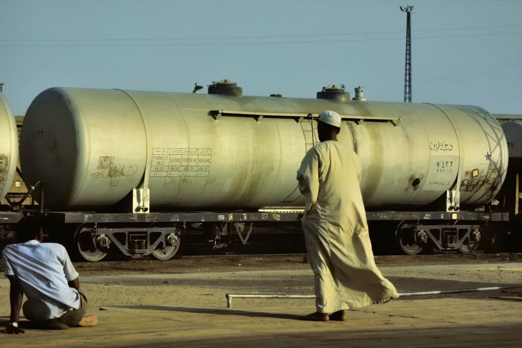
Waiting for the train to Khartoum - Atbara, Sudan.

Sudanese people in their cars queue on line at a gas station during the fuel shortages, Red Sea State, Suakin, Sudan

2016-04-22 14.01.26 HDR

Heavy traffic in Sudan

Sudán. Atbara. Puente sobre el rio Atbara, compartido por ferrocarril y carretera

Sudán. Atbara. Está prohibido hacer fotos libremente por la ciudad

Sudán. Atbara. Monumento

Sudán. Atbara. Puente sobre el rio Atbara, compartido por ferrocarril y carretera

Atbara Sudan 1977 - railway station platform sunrise.
Topographic Map of Ad-Dāmar, Sudan
Find elevation by address:

Places near Ad-Dāmar, Sudan:
Recent Searches:
- Elevation of Corso Fratelli Cairoli, 35, Macerata MC, Italy
- Elevation of Tallevast Rd, Sarasota, FL, USA
- Elevation of 4th St E, Sonoma, CA, USA
- Elevation of Black Hollow Rd, Pennsdale, PA, USA
- Elevation of Oakland Ave, Williamsport, PA, USA
- Elevation of Pedrógão Grande, Portugal
- Elevation of Klee Dr, Martinsburg, WV, USA
- Elevation of Via Roma, Pieranica CR, Italy
- Elevation of Tavkvetili Mountain, Georgia
- Elevation of Hartfords Bluff Cir, Mt Pleasant, SC, USA