Elevation map of Acklins, The Bahamas
Location: The Bahamas >
Longitude: -74.053512
Latitude: 22.3657708
Elevation: 5m / 16feet
Barometric Pressure: 101KPa
Elevation Map:
Satellite Map:
Related Photos:

Reserve Bay, Acklins Cay
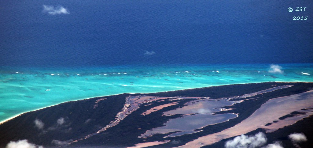
Carbonate Shoals - Acklins Cay

Providenciales, Turks and Caicos

Crooked Island, The Bahamas

Dominoes at Springpoint airport cafe

Waitin' for the plane on Acklins

CO 1069-240-23
Topographic Map of Acklins, The Bahamas
Find elevation by address:

Places in Acklins, The Bahamas:
Places near Acklins, The Bahamas:
Recent Searches:
- Elevation of Corso Fratelli Cairoli, 35, Macerata MC, Italy
- Elevation of Tallevast Rd, Sarasota, FL, USA
- Elevation of 4th St E, Sonoma, CA, USA
- Elevation of Black Hollow Rd, Pennsdale, PA, USA
- Elevation of Oakland Ave, Williamsport, PA, USA
- Elevation of Pedrógão Grande, Portugal
- Elevation of Klee Dr, Martinsburg, WV, USA
- Elevation of Via Roma, Pieranica CR, Italy
- Elevation of Tavkvetili Mountain, Georgia
- Elevation of Hartfords Bluff Cir, Mt Pleasant, SC, USA