Elevation of Abrahams Bay, The Bahamas
Location: The Bahamas >
Longitude: -72.962112
Latitude: 22.3750399
Elevation: 8m / 26feet
Barometric Pressure: 101KPa
Elevation Map:
Satellite Map:
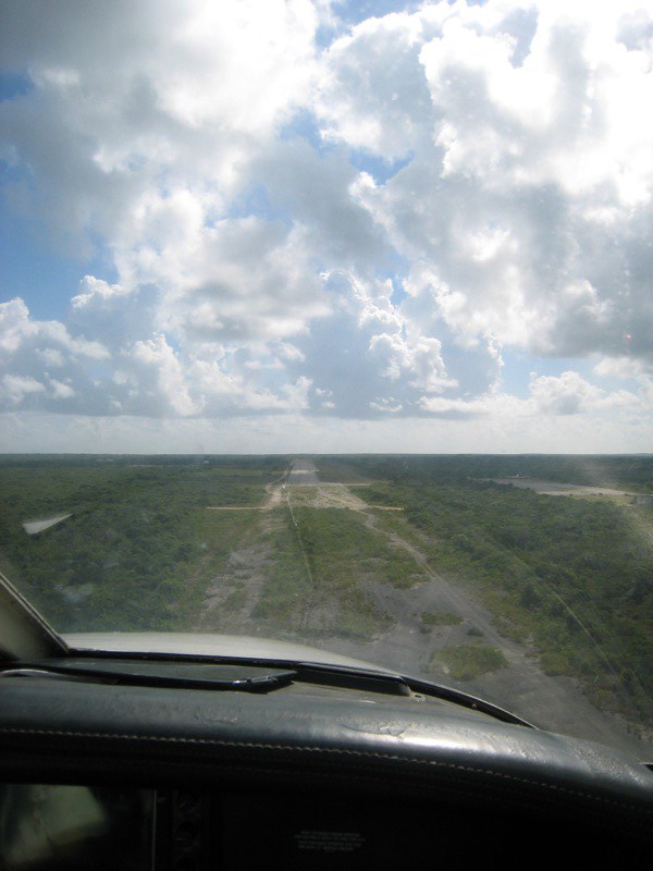
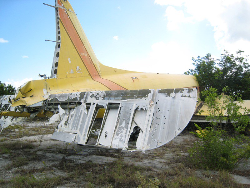
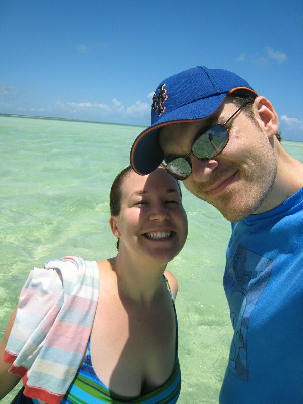
Related Photos:

IMG_2278.JPG

IMG_2157.JPG

IMG_2293.JPG

IMG_2168.JPG

IMG_2262.JPG

IMG_2229.JPG

Mayaguana - Bahamas

Killdeer 2.jpg

IMG_2037.JPG

IMG_2047.JPG
IMG_2082.JPG

IMG_2093.JPG

IMG_2090.JPG

IMG_2099.JPG

IMG_2103.JPG
IMG_2108.JPG

IMG_2124.JPG

IMG_2127.JPG

IMG_2147.JPG

IMG_2173.JPG
IMG_2184.JPG
Topographic Map of Abrahams Bay, The Bahamas
Find elevation by address:

Places near Abrahams Bay, The Bahamas:
Providenciales
Blue Mountain Villa Tkca
Blue Hills
Da Conch Shack
Providenciales
Discovery Drive
Blue Mountain Water Company
Leeward Highway
Cooper Jack Bay Settlement
Beaches Turks & Caicos
Grace Bay
Pine Cay
Parrot Cay
North Caicos
North Caicos
Middle Caicos
Turks And Caicos Islands
Middle Caicos
Recent Searches:
- Elevation of Corso Fratelli Cairoli, 35, Macerata MC, Italy
- Elevation of Tallevast Rd, Sarasota, FL, USA
- Elevation of 4th St E, Sonoma, CA, USA
- Elevation of Black Hollow Rd, Pennsdale, PA, USA
- Elevation of Oakland Ave, Williamsport, PA, USA
- Elevation of Pedrógão Grande, Portugal
- Elevation of Klee Dr, Martinsburg, WV, USA
- Elevation of Via Roma, Pieranica CR, Italy
- Elevation of Tavkvetili Mountain, Georgia
- Elevation of Hartfords Bluff Cir, Mt Pleasant, SC, USA