Elevation map of Abia, Nigeria
Location: Nigeria >
Longitude: 7.5247243
Latitude: 5.4308921
Elevation: 128m / 420feet
Barometric Pressure: 100KPa
Elevation Map:
Satellite Map:
Related Photos:

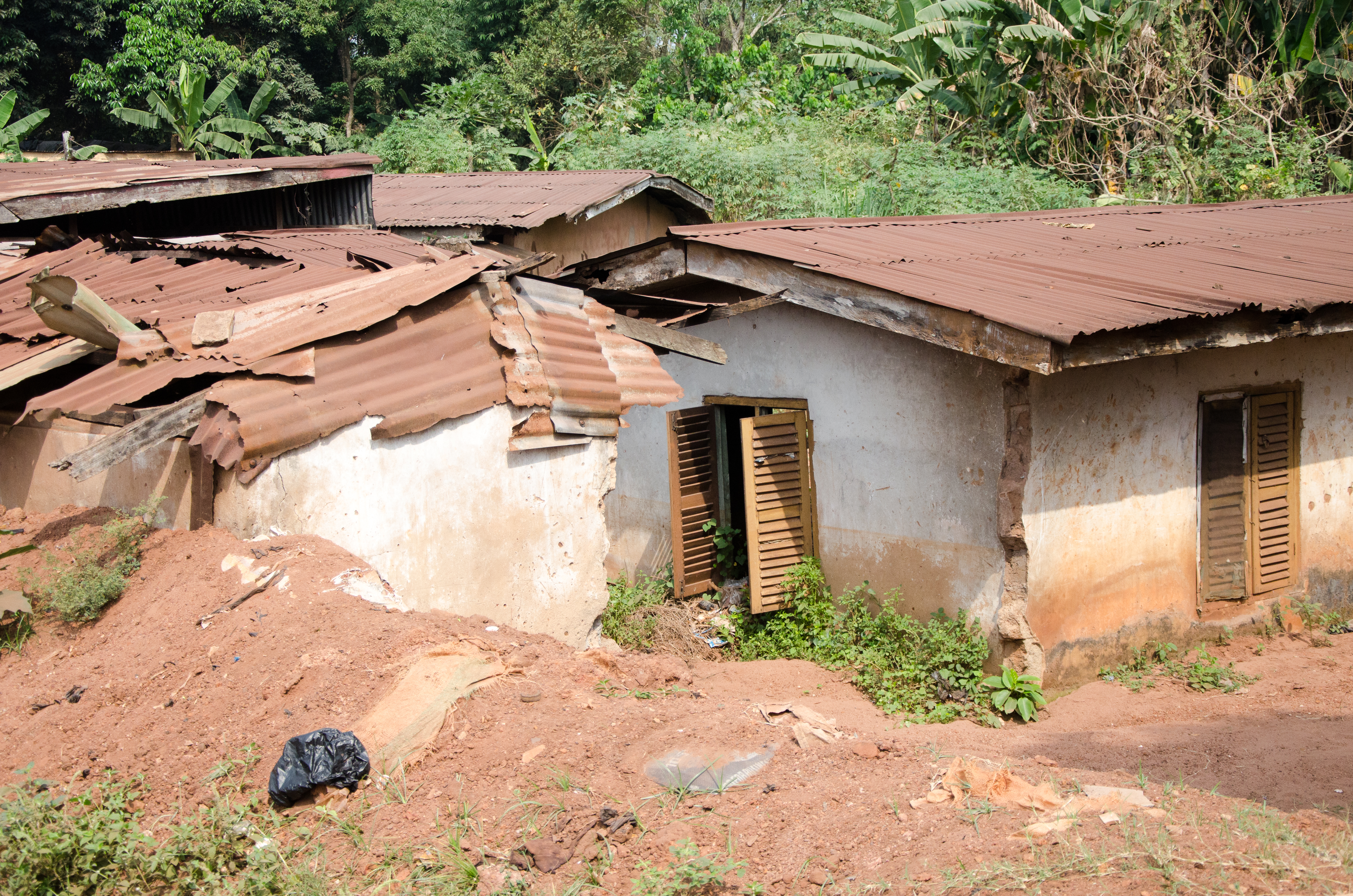
Seize
_CAN2720

_CAN2719

_CAN2717

Smile

Soul
Topographic Map of Abia, Nigeria
Find elevation by address:

Places in Abia, Nigeria:
Places near Abia, Nigeria:
Amakama
Umuahia
Umuahia South
Aboh-mbaise
Lagwa
Aboh Mbaise
Lion Head Avenue
Aba-owerri Road
Aba North
Aba
Abia State
Aba
Aba
Ukwa-nkasi
Imo
Uyo
Akwa Ibom
Gulf Estate Road
Port Harcourt
Eastern Obolo V
Recent Searches:
- Elevation of Corso Fratelli Cairoli, 35, Macerata MC, Italy
- Elevation of Tallevast Rd, Sarasota, FL, USA
- Elevation of 4th St E, Sonoma, CA, USA
- Elevation of Black Hollow Rd, Pennsdale, PA, USA
- Elevation of Oakland Ave, Williamsport, PA, USA
- Elevation of Pedrógão Grande, Portugal
- Elevation of Klee Dr, Martinsburg, WV, USA
- Elevation of Via Roma, Pieranica CR, Italy
- Elevation of Tavkvetili Mountain, Georgia
- Elevation of Hartfords Bluff Cir, Mt Pleasant, SC, USA