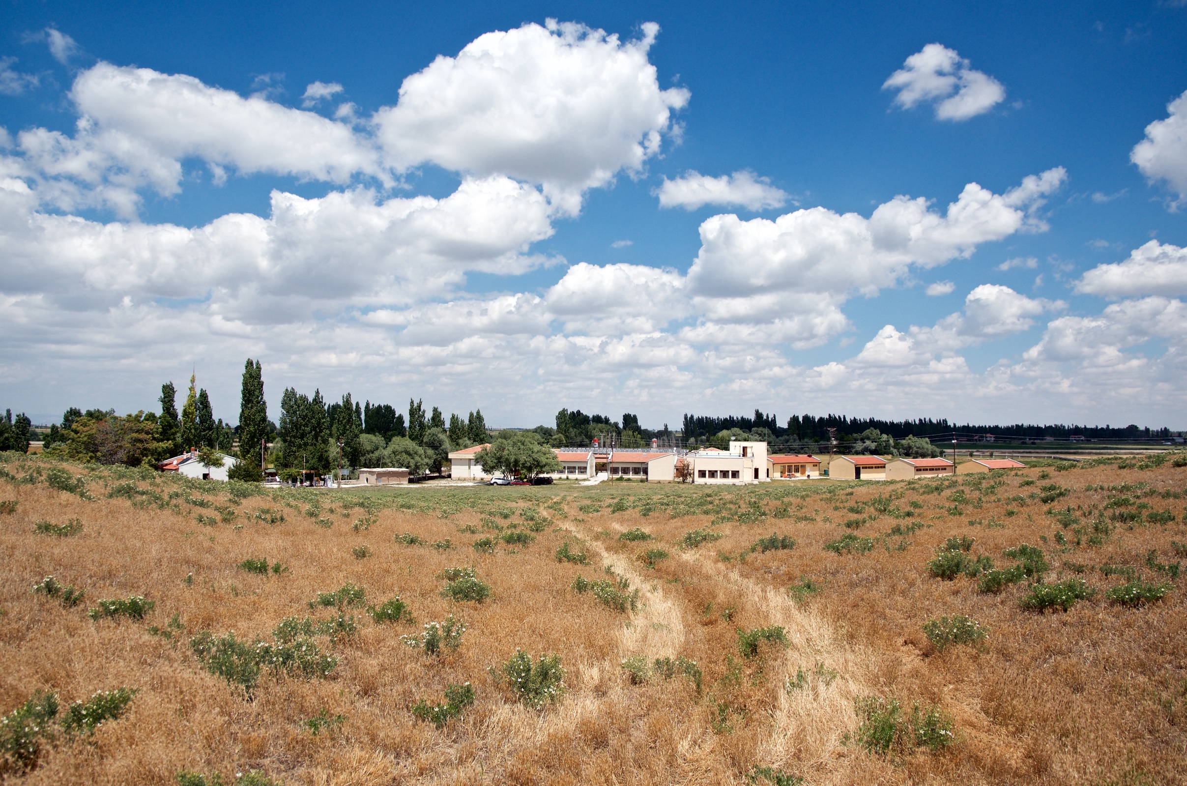
Elevation of Abditolu, Çumra/Konya, Turkey
Location: Turkey >
Longitude: 32.695547
Latitude: 37.7438852
Elevation: 1002m / 3287feet
Barometric Pressure: 90KPa
Elevation Map:
Satellite Map:
Related Photos:

First Days at Çatalhöyük 2015

View From The Top at Çatalhöyük

View East

South Shelter View

North Shelter View

Excavation in South Area

East Mounds at Çatalhöyük
Dig House - Çatalhöyük 2015

Figure-15-016

Rain Clouds Over Çatalhöyük

Building 80 - Equirectangular

Overview of North Area Excavation
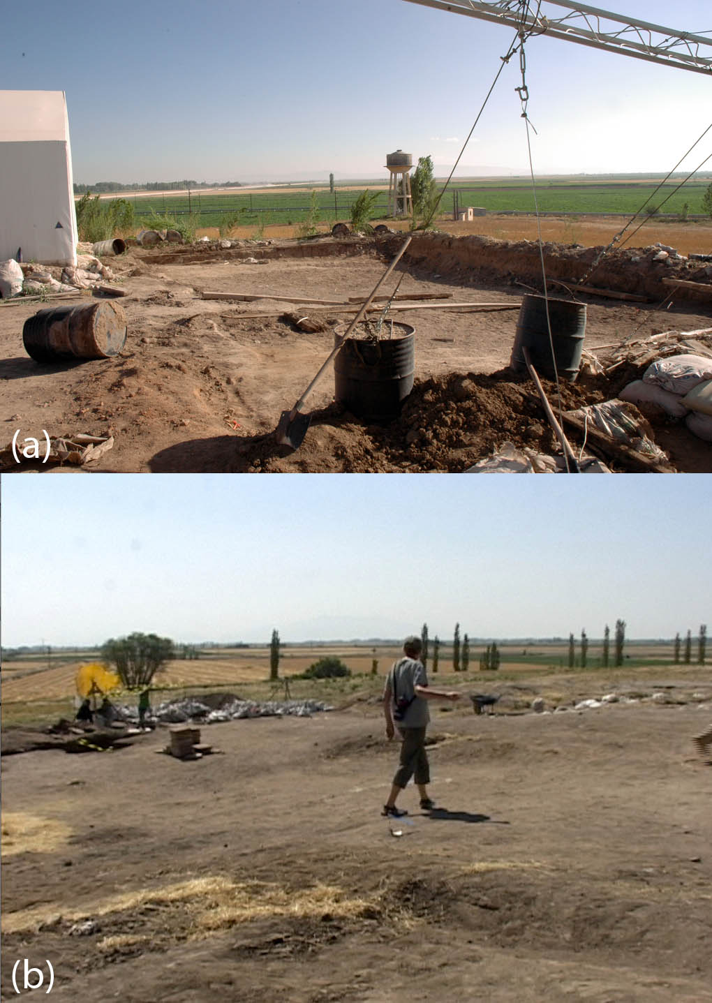
Figure-01-008

Figure-05-075

Figure-05-099

Figure-05-001

Figure-01-008

South Area Excavation - 2015 Beginning

Building 80

South Area Overview

Finger Impressions

Platform Construction

South Area 2013

The North Shelter

Çatalhöyük

Çatalhöyük

Wake up call by the passing flock and sheep dogs.

Çatalhöyük - ABD Büyükelçileri Kültürel Mirası Koruma Fonu (AFCP)

Çatalhöyük - ABD Büyükelçileri Kültürel Mirası Koruma Fonu (AFCP)

Çatalhöyük - ABD Büyükelçileri Kültürel Mirası Koruma Fonu (AFCP)

This is our past: 7500 BC to 6000 BC at Çatal Höyük in Turkey, a proto urban Neolithic settlement with 8000 inhabitants.

Looking out there
Topographic Map of Abditolu, Çumra/Konya, Turkey
Find elevation by address:

Places near Abditolu, Çumra/Konya, Turkey:
Ormankaya Sk. No:299
Konya
Yaka Mahallesi
Hisarlık
Karaman
Mut
Metal Sk. No:4
Meydan
Mersin Province
Recent Searches:
- Elevation of Corso Fratelli Cairoli, 35, Macerata MC, Italy
- Elevation of Tallevast Rd, Sarasota, FL, USA
- Elevation of 4th St E, Sonoma, CA, USA
- Elevation of Black Hollow Rd, Pennsdale, PA, USA
- Elevation of Oakland Ave, Williamsport, PA, USA
- Elevation of Pedrógão Grande, Portugal
- Elevation of Klee Dr, Martinsburg, WV, USA
- Elevation of Via Roma, Pieranica CR, Italy
- Elevation of Tavkvetili Mountain, Georgia
- Elevation of Hartfords Bluff Cir, Mt Pleasant, SC, USA