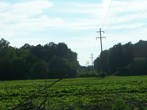
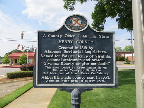
Elevation of Abbeville, AL, USA
Location: United States > Alabama > Henry County >
Longitude: -85.250489
Latitude: 31.5718352
Elevation: 137m / 449feet
Barometric Pressure: 100KPa
Related Photos:
Topographic Map of Abbeville, AL, USA
Find elevation by address:

Places in Abbeville, AL, USA:
AL-95, Abbeville, AL, USA
AL-95, Abbeville, AL, USA
AL-10, Abbeville, AL, USA
Co Rd 32, Abbeville, AL, USA
Co Rd 97, Abbeville, AL, USA
W Washington St, Abbeville, AL, USA
Co Rd, Abbeville, AL, USA
AL-95, Abbeville, AL, USA
Places near Abbeville, AL, USA:
214 W Washington St
W Washington St, Abbeville, AL, USA
AL-10, Abbeville, AL, USA
2322 Co Rd 29
Co Rd 32, Abbeville, AL, USA
AL-95, Abbeville, AL, USA
Co Rd 45, Headland, AL, USA
Co Rd 65, Shorterville, AL, USA
397 Co Rd 122
Co Rd, Abbeville, AL, USA
Henry County
11073 Co Rd 65
AL-10, Shorterville, AL, USA
Shorterville
Co Rd 26, Headland, AL, USA
Edwin
403 Bennett Dr
Hardridge Creek (recgovnpsdata)
197 Brannon Dr
Pleasant Hill Rd, Eufaula, AL, USA
Recent Searches:
- Elevation of Corso Fratelli Cairoli, 35, Macerata MC, Italy
- Elevation of Tallevast Rd, Sarasota, FL, USA
- Elevation of 4th St E, Sonoma, CA, USA
- Elevation of Black Hollow Rd, Pennsdale, PA, USA
- Elevation of Oakland Ave, Williamsport, PA, USA
- Elevation of Pedrógão Grande, Portugal
- Elevation of Klee Dr, Martinsburg, WV, USA
- Elevation of Via Roma, Pieranica CR, Italy
- Elevation of Tavkvetili Mountain, Georgia
- Elevation of Hartfords Bluff Cir, Mt Pleasant, SC, USA


