Elevation of Aérodrome de Cahors - Lalbenque, Cieurac, France
Location: France > Lot > Cieurac >
Longitude: 1.475278
Latitude: 44.351387
Elevation: 273m / 896feet
Barometric Pressure: 98KPa
Elevation Map:
Satellite Map:
Related Photos:
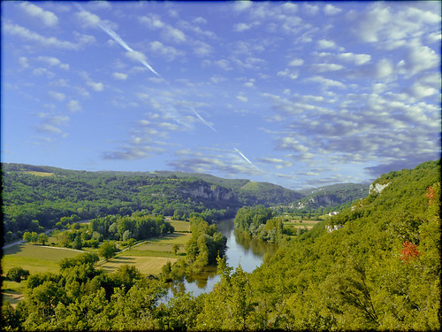
Paysage Lotois
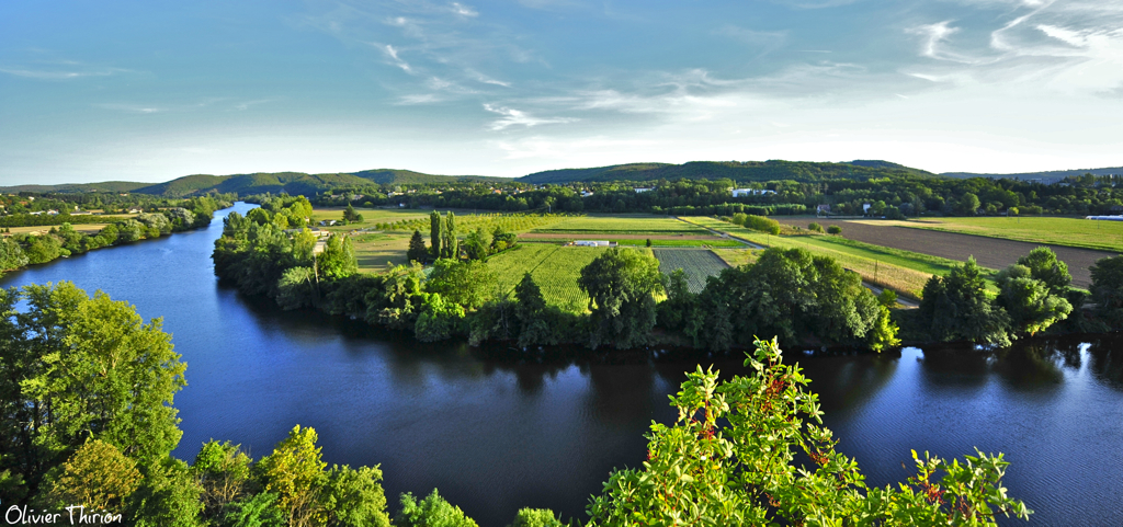
le Lot depuis Laroque-des-Arcs

Puylaroque - 3
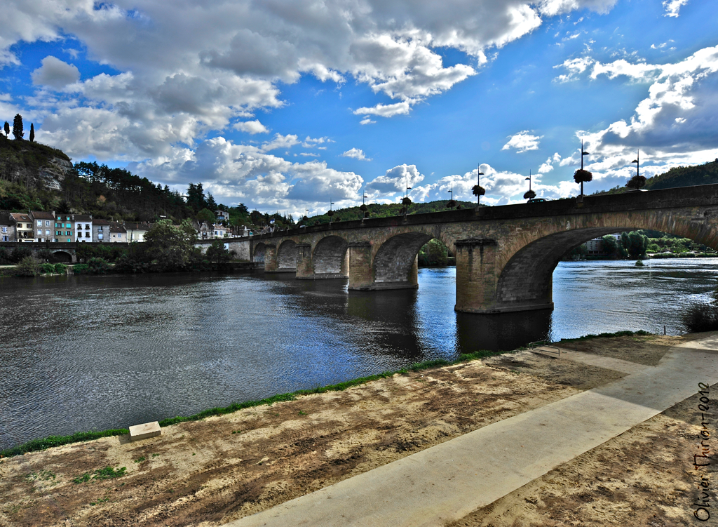
pont et nuage sur Cahors (Lot)
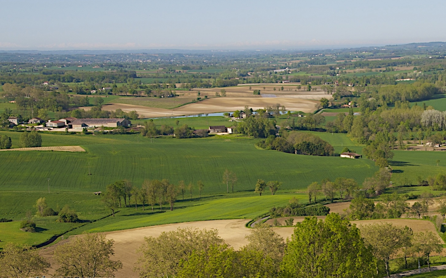
Puylaroque - 3
Topographic Map of Aérodrome de Cahors - Lalbenque, Cieurac, France
Find elevation by address:

Places near Aérodrome de Cahors - Lalbenque, Cieurac, France:
Cieurac
Poujols, Flaujac-Poujols, France
Flaujac-poujols
Aujols
5324f
Cahors
1 Route d Auty, Montalzat, France
Montalzat
Impasse de Flouriscous, Montalzat, France
Chemin de Piquemole, Caussade, France
Caussade
Septfonds
3 Impasse des Albaredes, Septfonds, France
Lot
Loze
Saint-antonin-noble-val
Gite Petit Bois
D66, Monclar-de-Quercy, France
Monclar-de-quercy
8 Le Village, La Sauzière-Saint-Jean, France
Recent Searches:
- Elevation of Corso Fratelli Cairoli, 35, Macerata MC, Italy
- Elevation of Tallevast Rd, Sarasota, FL, USA
- Elevation of 4th St E, Sonoma, CA, USA
- Elevation of Black Hollow Rd, Pennsdale, PA, USA
- Elevation of Oakland Ave, Williamsport, PA, USA
- Elevation of Pedrógão Grande, Portugal
- Elevation of Klee Dr, Martinsburg, WV, USA
- Elevation of Via Roma, Pieranica CR, Italy
- Elevation of Tavkvetili Mountain, Georgia
- Elevation of Hartfords Bluff Cir, Mt Pleasant, SC, USA