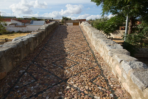
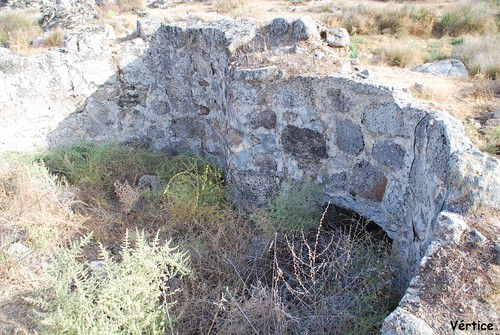
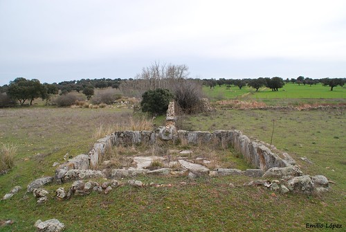
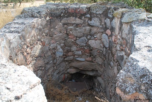
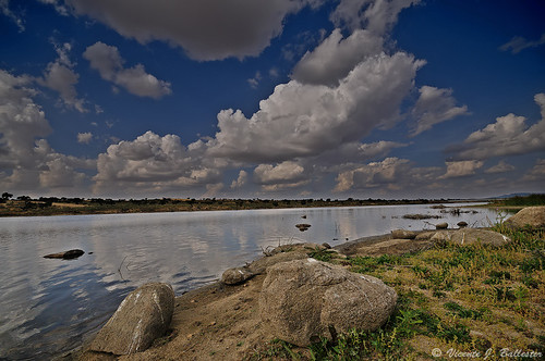
Elevation of Añora, Córdoba, Spain
Location: Spain > Andalusia > Córdoba >
Longitude: -4.8976594
Latitude: 38.409443
Elevation: 632m / 2073feet
Barometric Pressure: 94KPa
Related Photos:
Topographic Map of Añora, Córdoba, Spain
Find elevation by address:

Places in Añora, Córdoba, Spain:
Places near Añora, Córdoba, Spain:
Pozoblanco
Estadio Municipal Pozoblanco
Diseminado Diseminados, 69, Añora, Córdoba, Spain
Alcaracejos
Diseminado Diseminados, 89, Córdoba, Spain
Villanueva Del Duque
Alcaracejos
Diseminado Diseminados, Córdoba, Spain
Diseminado Diseminados, Córdoba, Spain
Diseminado Diseminados, Alcaracejos, Córdoba, Spain
Diseminado Diseminados, Hinojosa del Duque, Córdoba, Spain
Diseminado Diseminados, Hinojosa del Duque, Córdoba, Spain
Espiel
Diseminado Diseminados, 94, Villanueva del Duque, Córdoba, Spain
Hinojosa Del Duque
Villaharta
Villanueva De Córdoba
Paseo Cementerio, 4, Villanueva de Córdoba, Córdoba, Spain
1d
Extramuros Diseminados, Córdoba, Spain
Recent Searches:
- Elevation of Corso Fratelli Cairoli, 35, Macerata MC, Italy
- Elevation of Tallevast Rd, Sarasota, FL, USA
- Elevation of 4th St E, Sonoma, CA, USA
- Elevation of Black Hollow Rd, Pennsdale, PA, USA
- Elevation of Oakland Ave, Williamsport, PA, USA
- Elevation of Pedrógão Grande, Portugal
- Elevation of Klee Dr, Martinsburg, WV, USA
- Elevation of Via Roma, Pieranica CR, Italy
- Elevation of Tavkvetili Mountain, Georgia
- Elevation of Hartfords Bluff Cir, Mt Pleasant, SC, USA

