Elevation map of Ñuble Province, Bío Bío Region, Chile
Location: Chile > Bío Bío Region >
Longitude: -71.762248
Latitude: -36.722574
Elevation: 435m / 1427feet
Barometric Pressure: 96KPa
Elevation Map:
Satellite Map:
Related Photos:
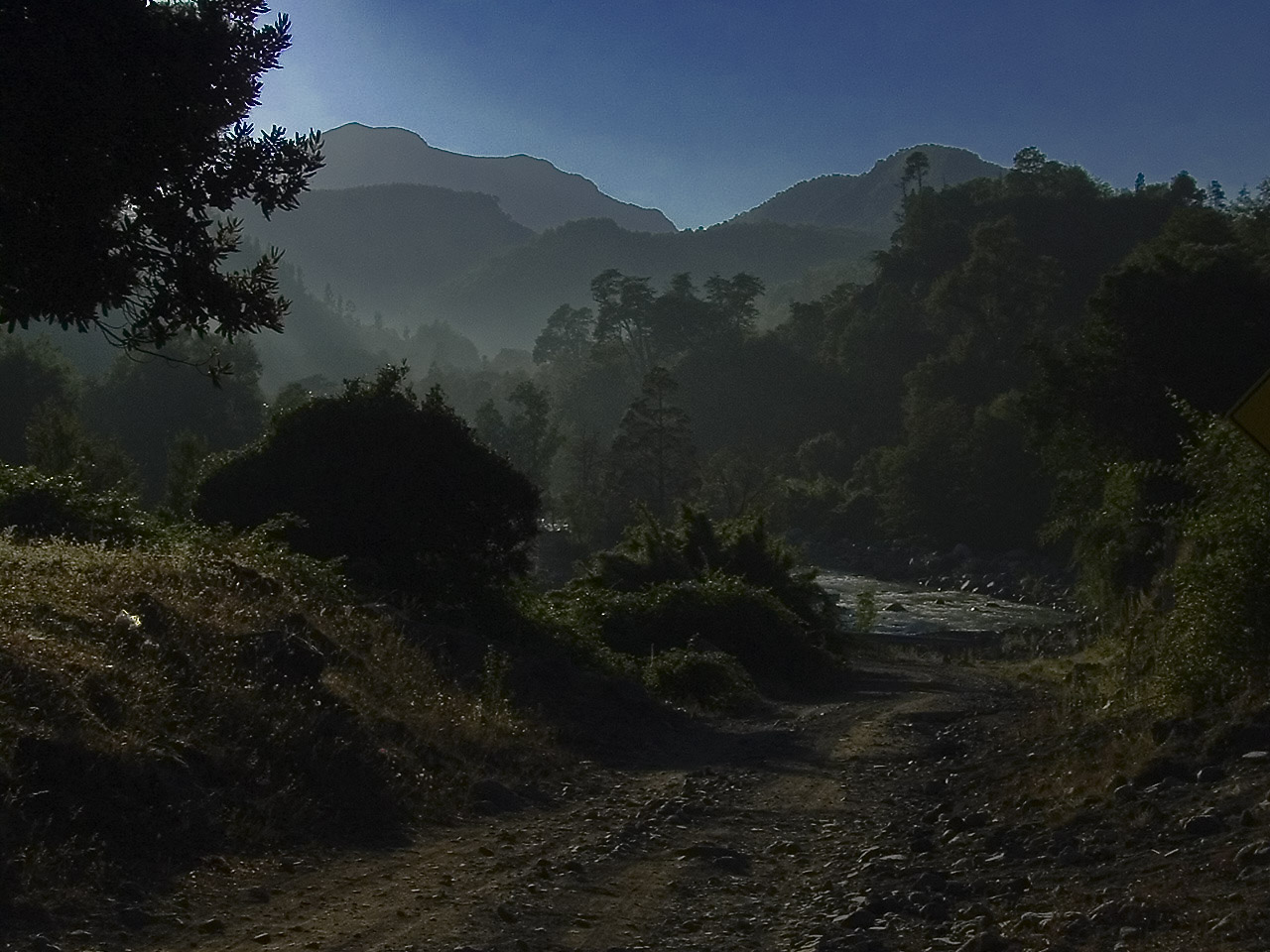
Amanecer Cordillerano
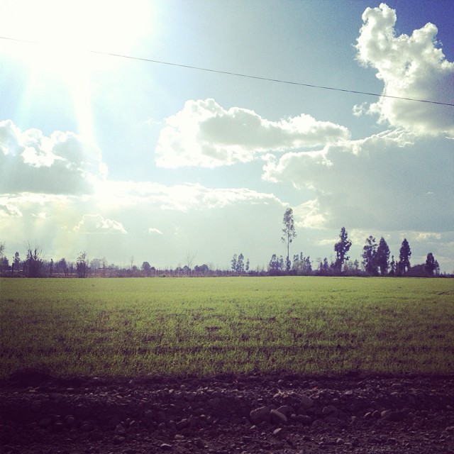
Recuerdo de las vacaciones ....
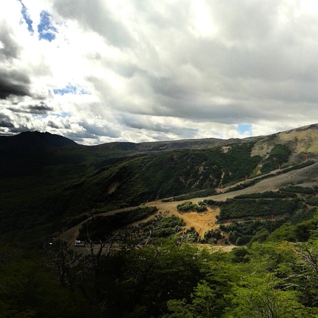
Asi se ven las termas de Chillán en esta época del año desde la montaña del frente
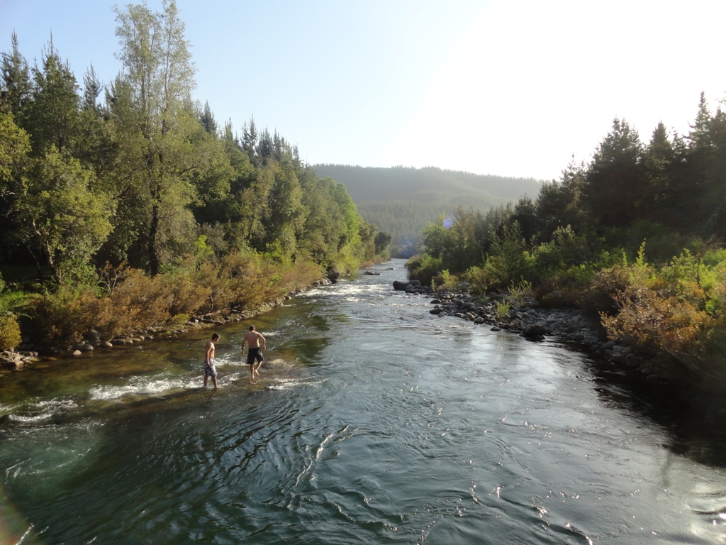
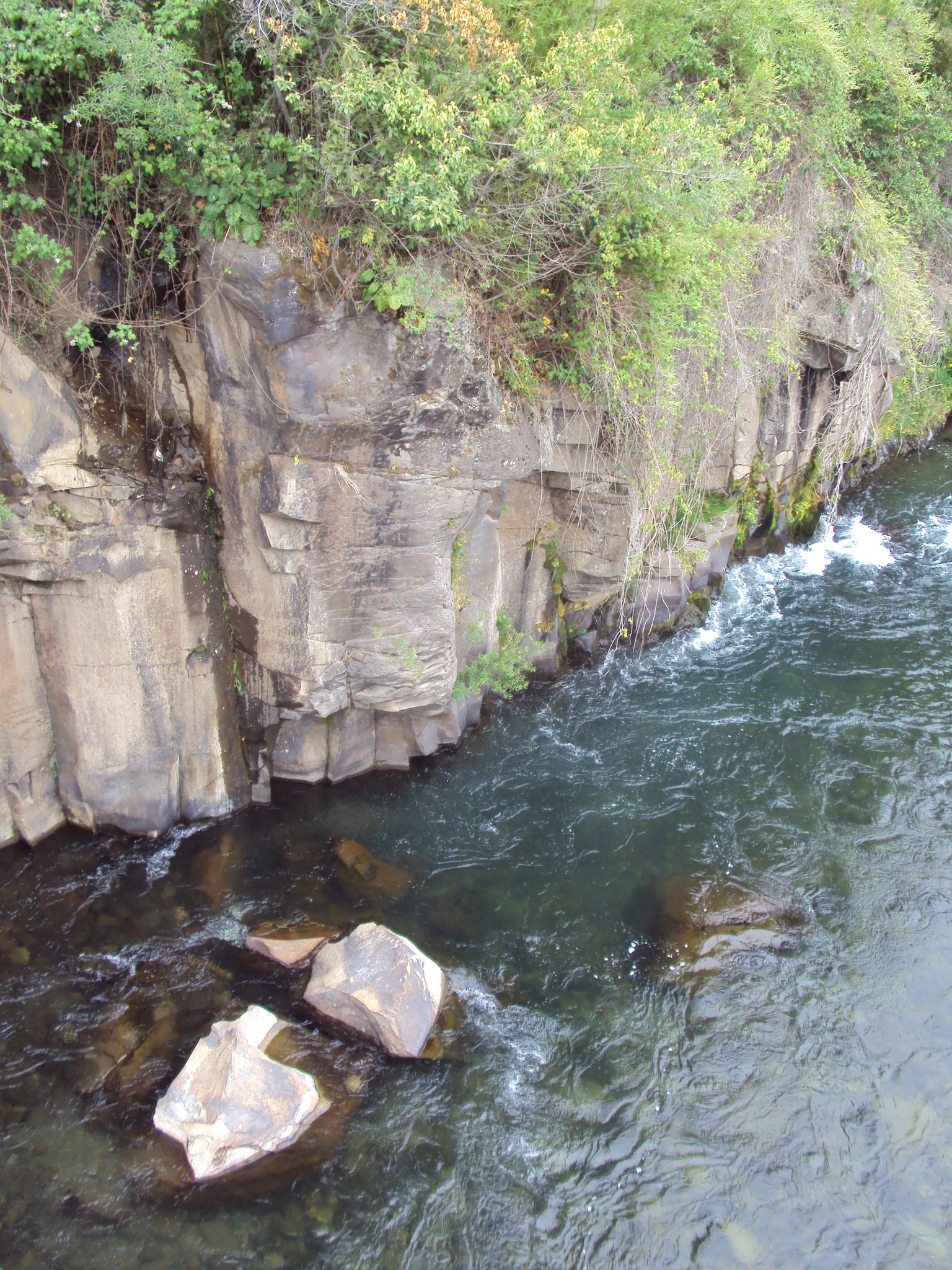
Caminando sobre las aguas
Nunca tendrás nada original si no pierdes el miedo a equivocarte
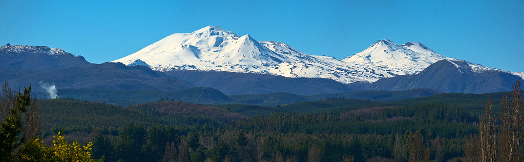
Nevados de Chillán volcanic group. The volcán nuevo on the left, the volcán viejo on the right.

~ #Inspiring ~ #30photochallenge #PHñC #ñ666 #grandfathers #Nonos #Playing #Snow 《 Chillas - 2015》#Flashback
Topographic Map of Ñuble Province, Bío Bío Region, Chile
Find elevation by address:

Places in Ñuble Province, Bío Bío Region, Chile:
Coihueco
San Carlos
Chillán
N-48, Ninhue, Región del Bío Bío, Chile
Alcázar, Chillan, Chillán, Región del Bío Bío, Chile
N-, San Ignacio, Región del Bío Bío, Chile
Diguillín Province
Places near Ñuble Province, Bío Bío Region, Chile:
N-49 24, Coihueco, Región del Bío Bío, Chile
Diguillín Province
Alcázar, Chillan, Chillán, Región del Bío Bío, Chile
Pirimahuida Lodge & Spa
N-, San Ignacio, Región del Bío Bío, Chile
Chillán
Chillán
Yungay
Yungay
Bío Bío Region
Bío Bío Province
San Francisco, Los Angeles, Los Ángeles, Región del Bío Bío, Chile
Negrete
Negrete
Av. Julio Hemmelmann, Negrete, Región del Bío Bío, Chile
Ruta , Renaico, IX Región, Chile
Concepción
Concepción Province
Concepción
Pje Dos, Talcahuano, Región del Bío Bío, Chile
Recent Searches:
- Elevation of Corso Fratelli Cairoli, 35, Macerata MC, Italy
- Elevation of Tallevast Rd, Sarasota, FL, USA
- Elevation of 4th St E, Sonoma, CA, USA
- Elevation of Black Hollow Rd, Pennsdale, PA, USA
- Elevation of Oakland Ave, Williamsport, PA, USA
- Elevation of Pedrógão Grande, Portugal
- Elevation of Klee Dr, Martinsburg, WV, USA
- Elevation of Via Roma, Pieranica CR, Italy
- Elevation of Tavkvetili Mountain, Georgia
- Elevation of Hartfords Bluff Cir, Mt Pleasant, SC, USA