Elevation of Åsnes, Norway
Location: Norway > Hedmark >
Longitude: 12.2179065
Latitude: 60.6292255
Elevation: 285m / 935feet
Barometric Pressure: 98KPa
Elevation Map:
Satellite Map:
Related Photos:
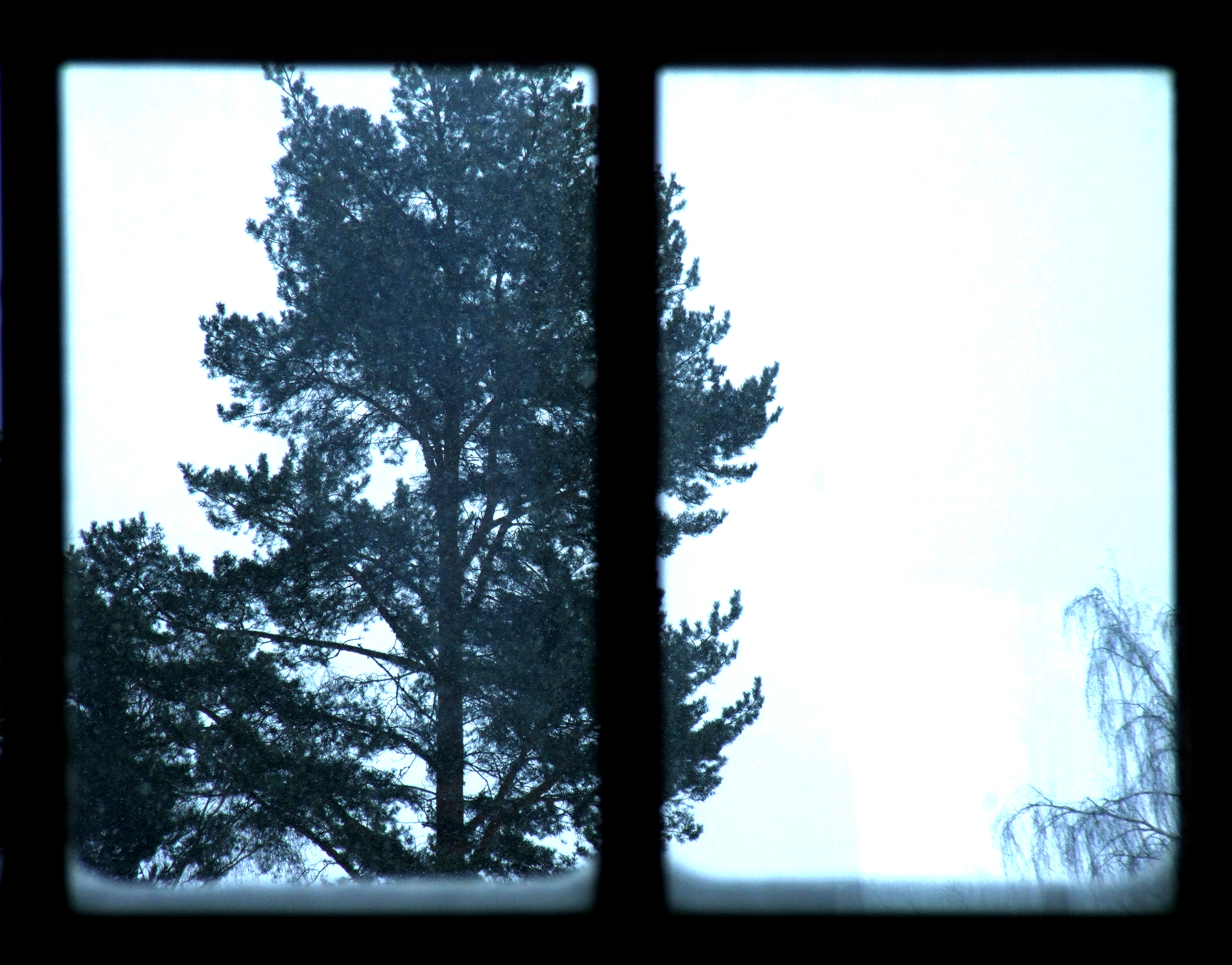
frame

Nordre gravlund 5

Nordre gravlund 3

Fløterdam på Flisa

20141029-DSC00355

Fløterdam på Flisa

Fløterdam på Flisa
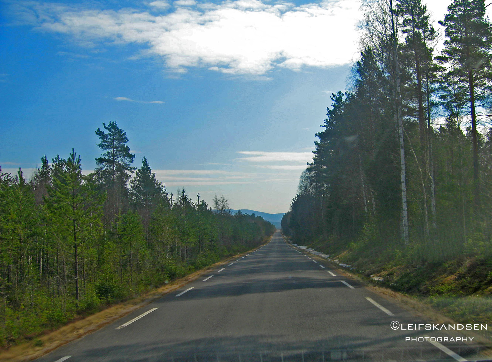
Forrest road
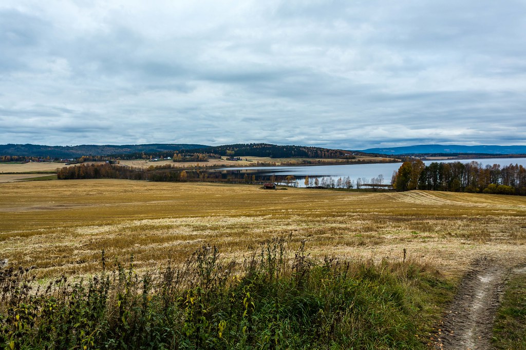
Autumm in Hedmark Norway
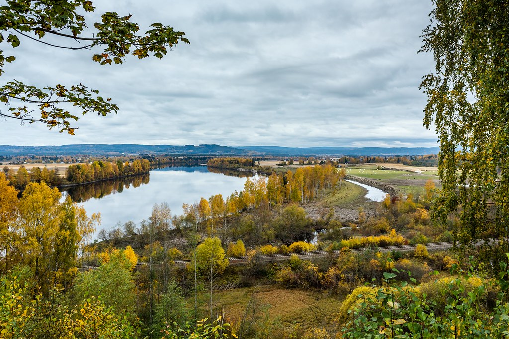
Glomma Hedmark Norway
Topographic Map of Åsnes, Norway
Find elevation by address:

Places in Åsnes, Norway:
Places near Åsnes, Norway:
Åsnes Finnskog
Fv, Åsnes Finnskog, Norway
Gravberget
Trysilelva
Nybergsund
Trysil
Elverum
Elverum
Elverum Svømmehall
Rv26, Trysil, Norway
Nordre Osen
Fv, Jordet, Norway
Rv24 50, Vallset, Norway
Rena
Hedmark
Fv, Engerdal, Norway
Fv, Engerdal, Norway
Drosbacken
Drosbacken, 91 Idre, Sweden
Rv, Engerdal, Norway
Recent Searches:
- Elevation of Corso Fratelli Cairoli, 35, Macerata MC, Italy
- Elevation of Tallevast Rd, Sarasota, FL, USA
- Elevation of 4th St E, Sonoma, CA, USA
- Elevation of Black Hollow Rd, Pennsdale, PA, USA
- Elevation of Oakland Ave, Williamsport, PA, USA
- Elevation of Pedrógão Grande, Portugal
- Elevation of Klee Dr, Martinsburg, WV, USA
- Elevation of Via Roma, Pieranica CR, Italy
- Elevation of Tavkvetili Mountain, Georgia
- Elevation of Hartfords Bluff Cir, Mt Pleasant, SC, USA