Elevation of Årjäng, Sweden
Location: Sweden > Varmland County > Årjäng >
Longitude: 12.132717
Latitude: 59.3891592
Elevation: 126m / 413feet
Barometric Pressure: 100KPa
Elevation Map:
Satellite Map:
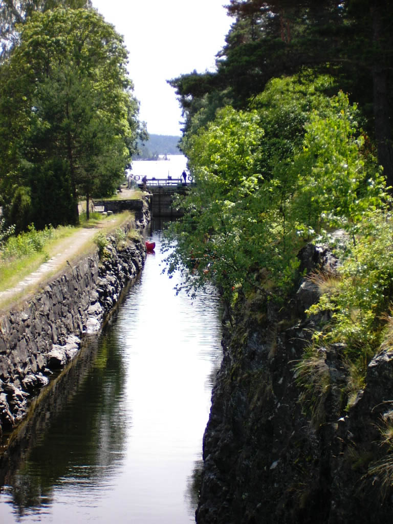
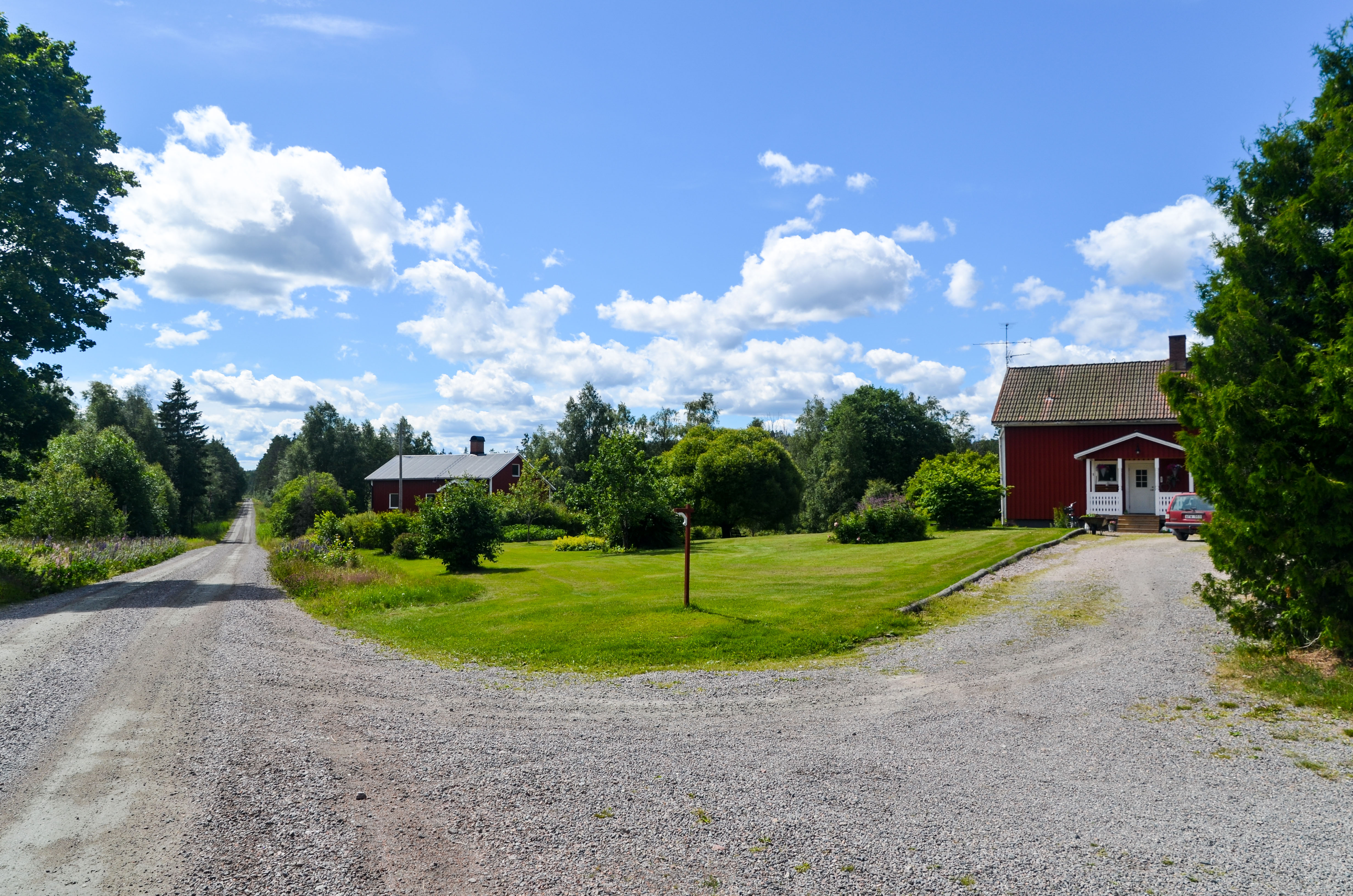
Related Photos:

Celebration! 4 million views:-)
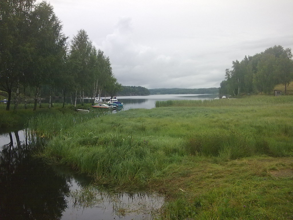
21.07.2008

21.07.2008
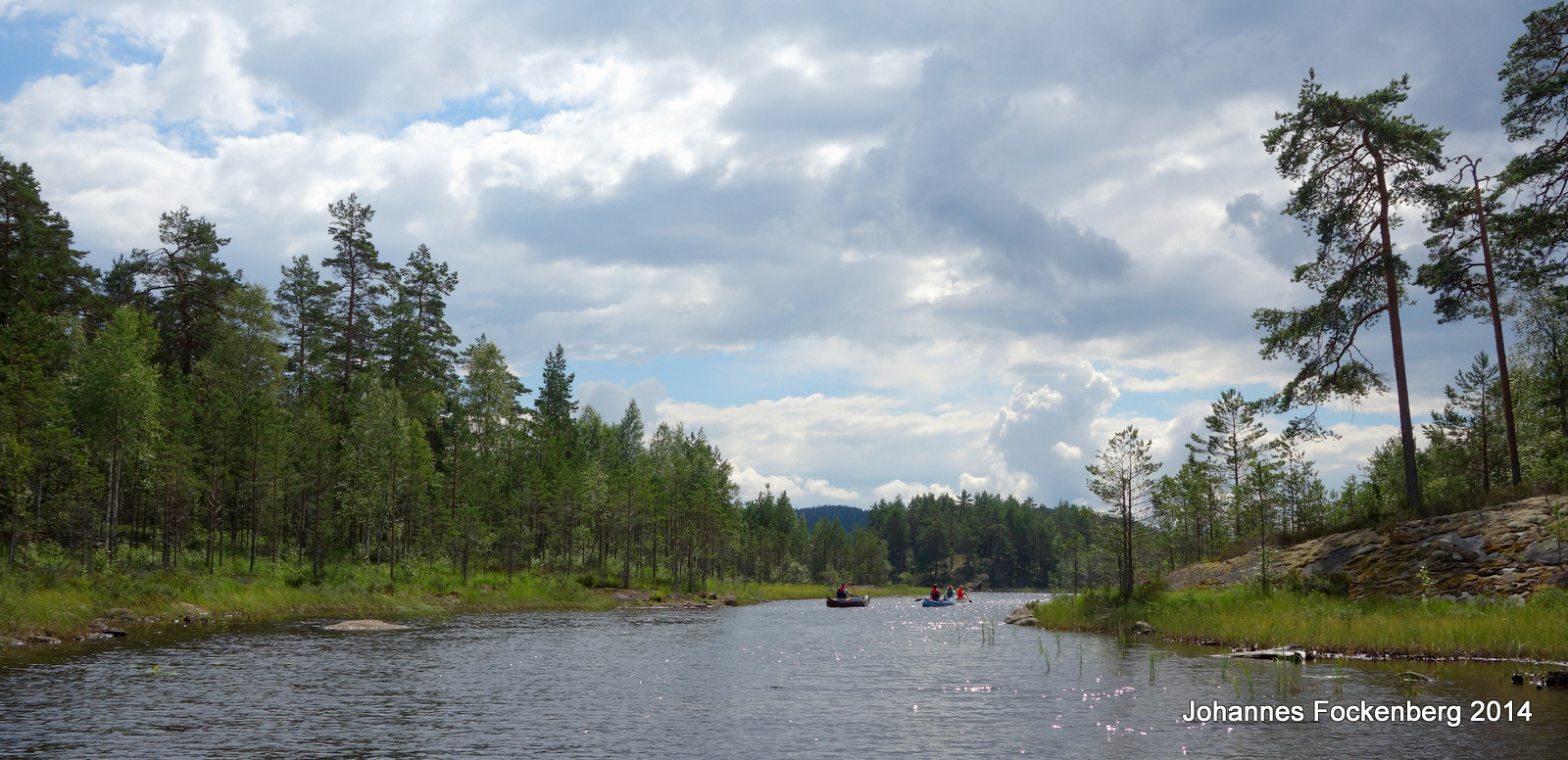
Kanu in Schweden
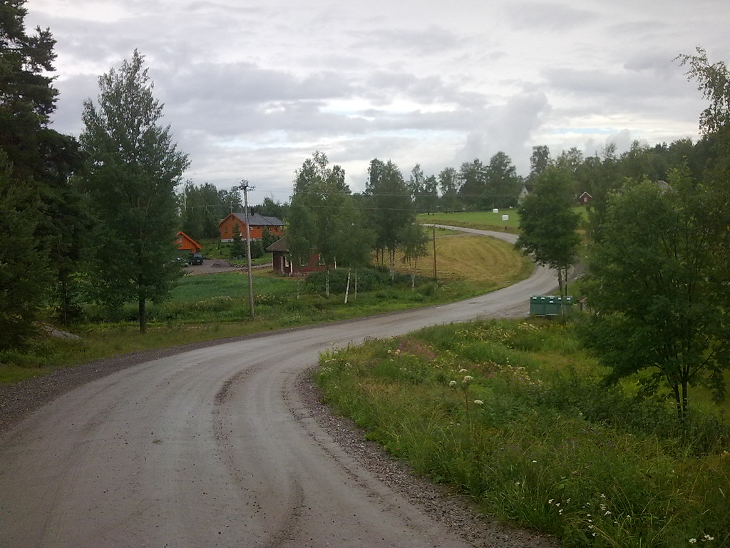
21.07.2008
Time to go
DSCI0004.jpg
20160707-DSC_3381
Topographic Map of Årjäng, Sweden
Find elevation by address:

Places near Årjäng, Sweden:
Västra Boda
Årjäng
Bengtsfors
Norane
Norra Ivarsbyn 5, 10 Töcksfors, Sweden
Norane, 95 Årjäng, Sweden
Suled 12, 92 Bengtsfors, Sweden
Suled
Fröbol
Adolfsfors 24, 40 Åmotfors, Sweden
Adolfsfors
Arvika V
Västra JÖSSEFORS 15, 93 Arvika, Sweden
Ørje
Tvillinggata 8, Ørje, Norway
Grinsbyn
Västra Boda 3, 43 Skillingsfors, Sweden
Marker
Arvika
Fv, Tobøl, Norway
Recent Searches:
- Elevation of Corso Fratelli Cairoli, 35, Macerata MC, Italy
- Elevation of Tallevast Rd, Sarasota, FL, USA
- Elevation of 4th St E, Sonoma, CA, USA
- Elevation of Black Hollow Rd, Pennsdale, PA, USA
- Elevation of Oakland Ave, Williamsport, PA, USA
- Elevation of Pedrógão Grande, Portugal
- Elevation of Klee Dr, Martinsburg, WV, USA
- Elevation of Via Roma, Pieranica CR, Italy
- Elevation of Tavkvetili Mountain, Georgia
- Elevation of Hartfords Bluff Cir, Mt Pleasant, SC, USA