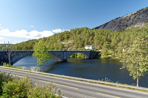
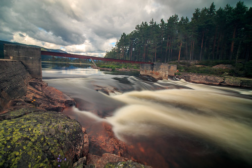
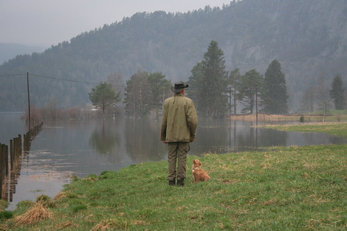
Elevation of Åmli, Norway
Location: Norway > Agder >
Longitude: 8.4865146
Latitude: 58.7684458
Elevation: 171m / 561feet
Barometric Pressure: 99KPa
Related Photos:
Topographic Map of Åmli, Norway
Find elevation by address:

Places near Åmli, Norway:
Nelaug
Froland
Fv, Mjåvatn, Norway
Rv42, Frolands Verk, Norway
Nissedal
Fv36, Grimstad, Norway
Fv 40, Rykene, Norway
Fv36 20, Grimstad, Norway
Fv 37, Rykene, Norway
Vegårshei Stasjon
Vegårshei
29b
Fv34, Grimstad, Norway
Vegårshei
Nilsesvoldveien 75, Grimstad, Norway
Fv, Arendal, Norway
Fredens Vei 4
Rv, Nedenes, Norway
Laugevoldveien 40, Grimstad, Norway
Arendal
Recent Searches:
- Elevation of Corso Fratelli Cairoli, 35, Macerata MC, Italy
- Elevation of Tallevast Rd, Sarasota, FL, USA
- Elevation of 4th St E, Sonoma, CA, USA
- Elevation of Black Hollow Rd, Pennsdale, PA, USA
- Elevation of Oakland Ave, Williamsport, PA, USA
- Elevation of Pedrógão Grande, Portugal
- Elevation of Klee Dr, Martinsburg, WV, USA
- Elevation of Via Roma, Pieranica CR, Italy
- Elevation of Tavkvetili Mountain, Georgia
- Elevation of Hartfords Bluff Cir, Mt Pleasant, SC, USA


