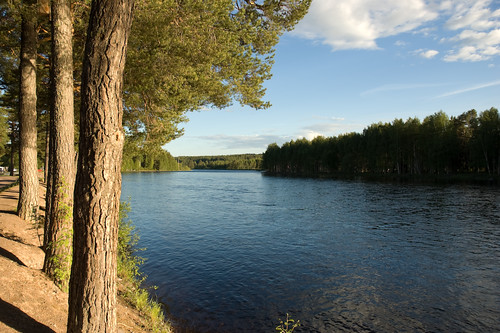
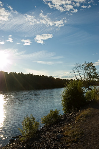
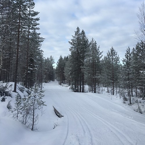
Elevation of Älvdalen, Sweden
Location: Sweden > Dalarna County >
Longitude: 14.0419871
Latitude: 61.227306
Elevation: -10000m / -32808feet
Barometric Pressure: 295KPa
Related Photos:
Topographic Map of Älvdalen, Sweden
Find elevation by address:

Places near Älvdalen, Sweden:
Rotennäsvägen 10, 90 Älvdalen, Sweden
Ribbåsen
Ribbåsen 33, 90 Älvdalen, Sweden
Mora V
Skärgårdsvägen 53, 93 Venjan, Sweden
Unnamed Road
Älvdalen S
Malung N
Malung
RISMYRAN 10, 64 Lima, Sweden
Nordanåker, 91 Malung, Sweden
Västra Tandö
Sälen
LÅNGSELEN 53, 91 Malung, Sweden
Malung S
330b
LISSKOGSÅSEN 14, 91 Malung, Sweden
Malung Nv
Särna
Sälen Airport
Recent Searches:
- Elevation of Corso Fratelli Cairoli, 35, Macerata MC, Italy
- Elevation of Tallevast Rd, Sarasota, FL, USA
- Elevation of 4th St E, Sonoma, CA, USA
- Elevation of Black Hollow Rd, Pennsdale, PA, USA
- Elevation of Oakland Ave, Williamsport, PA, USA
- Elevation of Pedrógão Grande, Portugal
- Elevation of Klee Dr, Martinsburg, WV, USA
- Elevation of Via Roma, Pieranica CR, Italy
- Elevation of Tavkvetili Mountain, Georgia
- Elevation of Hartfords Bluff Cir, Mt Pleasant, SC, USA


