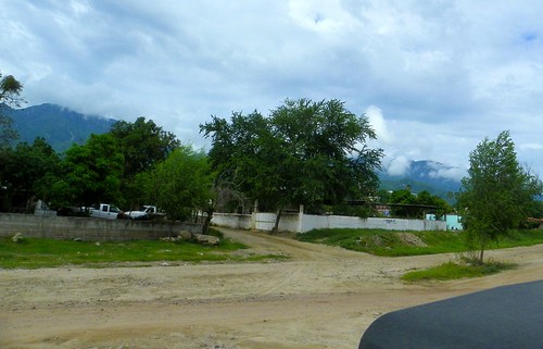
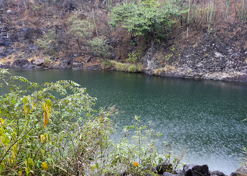
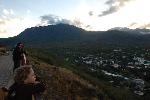
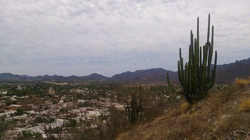
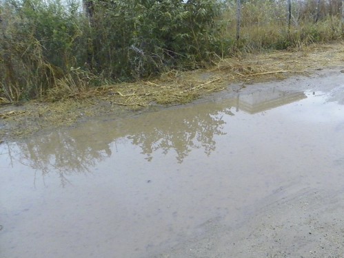
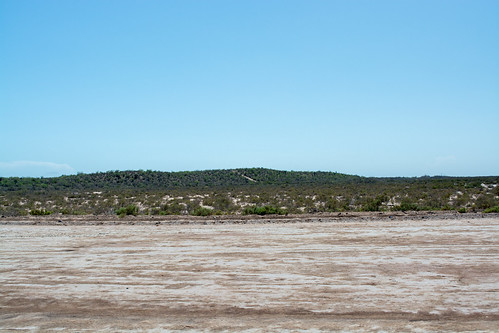
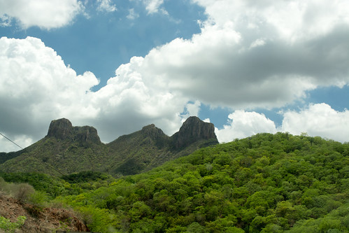
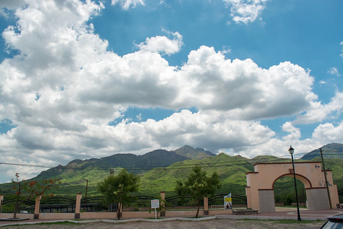
Elevation map of Álamos, Sonora, Mexico
Location: Mexico > Sonora >
Longitude: -108.9402793
Latitude: 27.0271649
Elevation: 384m / 1260feet
Barometric Pressure: 0KPa
Related Photos:
Topographic Map of Álamos, Sonora, Mexico
Find elevation by address:

Places in Álamos, Sonora, Mexico:
Places near Álamos, Sonora, Mexico:
Alamos
Miguel Hidalgo y Costilla, Nueva Esmeralda 1, Alamos, Son., Mexico
Francisco I. Madero 7, Centro, Alamos, Son., Mexico
La Aduana
Masiaca
Niños Héroes, Masiaca, Son., Mexico
Auto Empeños El Kilate
Sop
Navojoa - Los Mochis, Camatomari, Son., Mexico
Navojoa
Navojoa
Camatomari
Boulevard Sosa Chávez 703
Fovissste
Calle Blvd. Rafael J. Almada, Fovissste, Navojoa, Son., Mexico
Quiriego
Calle Pipila 32, El Jito, Etchojoa, Son., Mexico
El Jito
Etchojoa
Etchojoa
Recent Searches:
- Elevation map of Greenland, Greenland
- Elevation of Sullivan Hill, New York, New York, 10002, USA
- Elevation of Morehead Road, Withrow Downs, Charlotte, Mecklenburg County, North Carolina, 28262, USA
- Elevation of 2800, Morehead Road, Withrow Downs, Charlotte, Mecklenburg County, North Carolina, 28262, USA
- Elevation of Yangbi Yi Autonomous County, Yunnan, China
- Elevation of Pingpo, Yangbi Yi Autonomous County, Yunnan, China
- Elevation of Mount Malong, Pingpo, Yangbi Yi Autonomous County, Yunnan, China
- Elevation map of Yongping County, Yunnan, China
- Elevation of North 8th Street, Palatka, Putnam County, Florida, 32177, USA
- Elevation of 107, Big Apple Road, East Palatka, Putnam County, Florida, 32131, USA
- Elevation of Jiezi, Chongzhou City, Sichuan, China
- Elevation of Chongzhou City, Sichuan, China
- Elevation of Huaiyuan, Chongzhou City, Sichuan, China
- Elevation of Qingxia, Chengdu, Sichuan, China
- Elevation of Corso Fratelli Cairoli, 35, Macerata MC, Italy
- Elevation of Tallevast Rd, Sarasota, FL, USA
- Elevation of 4th St E, Sonoma, CA, USA
- Elevation of Black Hollow Rd, Pennsdale, PA, USA
- Elevation of Oakland Ave, Williamsport, PA, USA
- Elevation of Pedrógão Grande, Portugal

