Elevation of -,- Kirkwood Rd, Harrodsburg, KY, USA
Location: United States > Kentucky >
Longitude: -84.938252
Latitude: 37.8850766
Elevation: 268m / 879feet
Barometric Pressure: 98KPa
Elevation Map:
Satellite Map:
Related Photos:
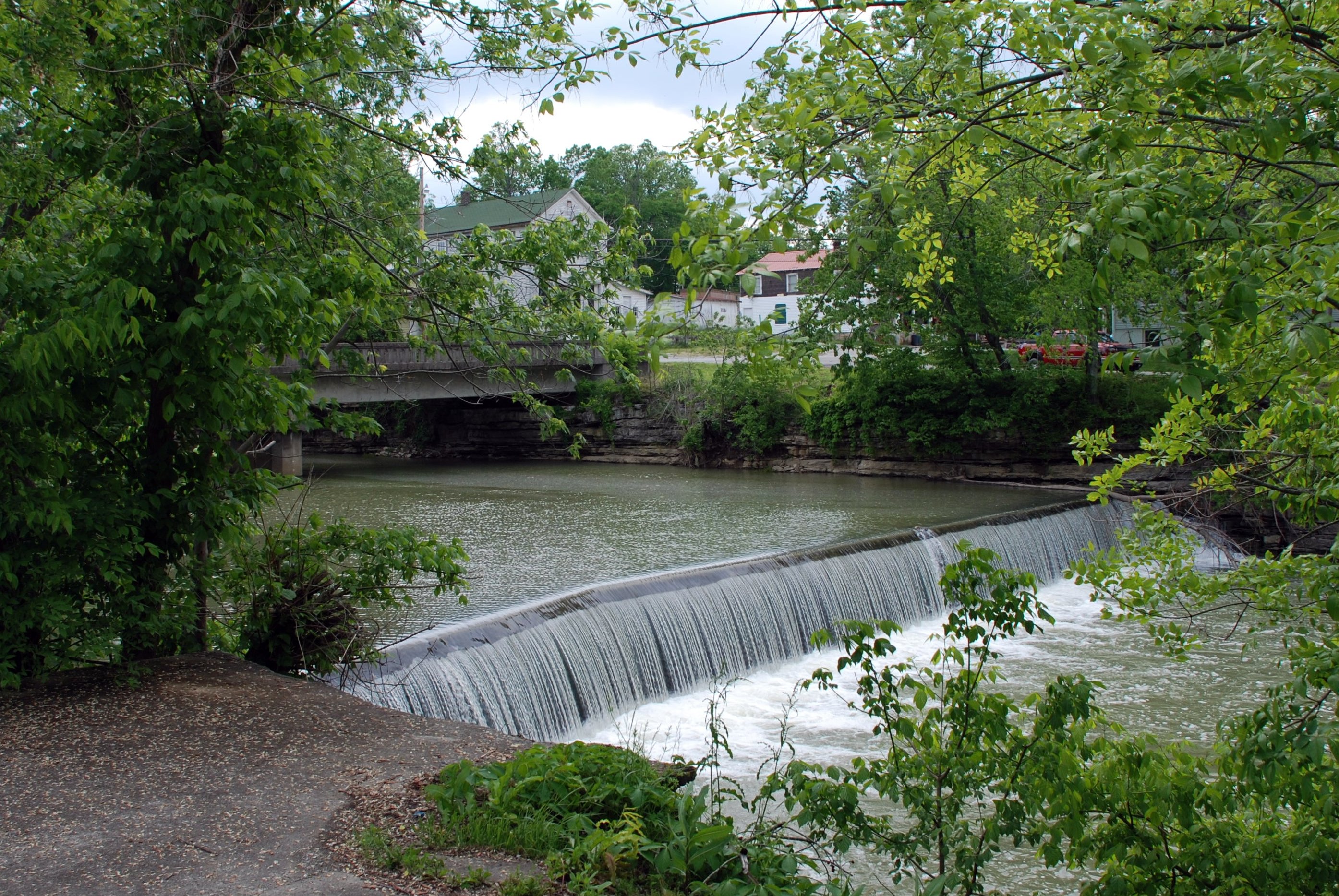
Mill Dam
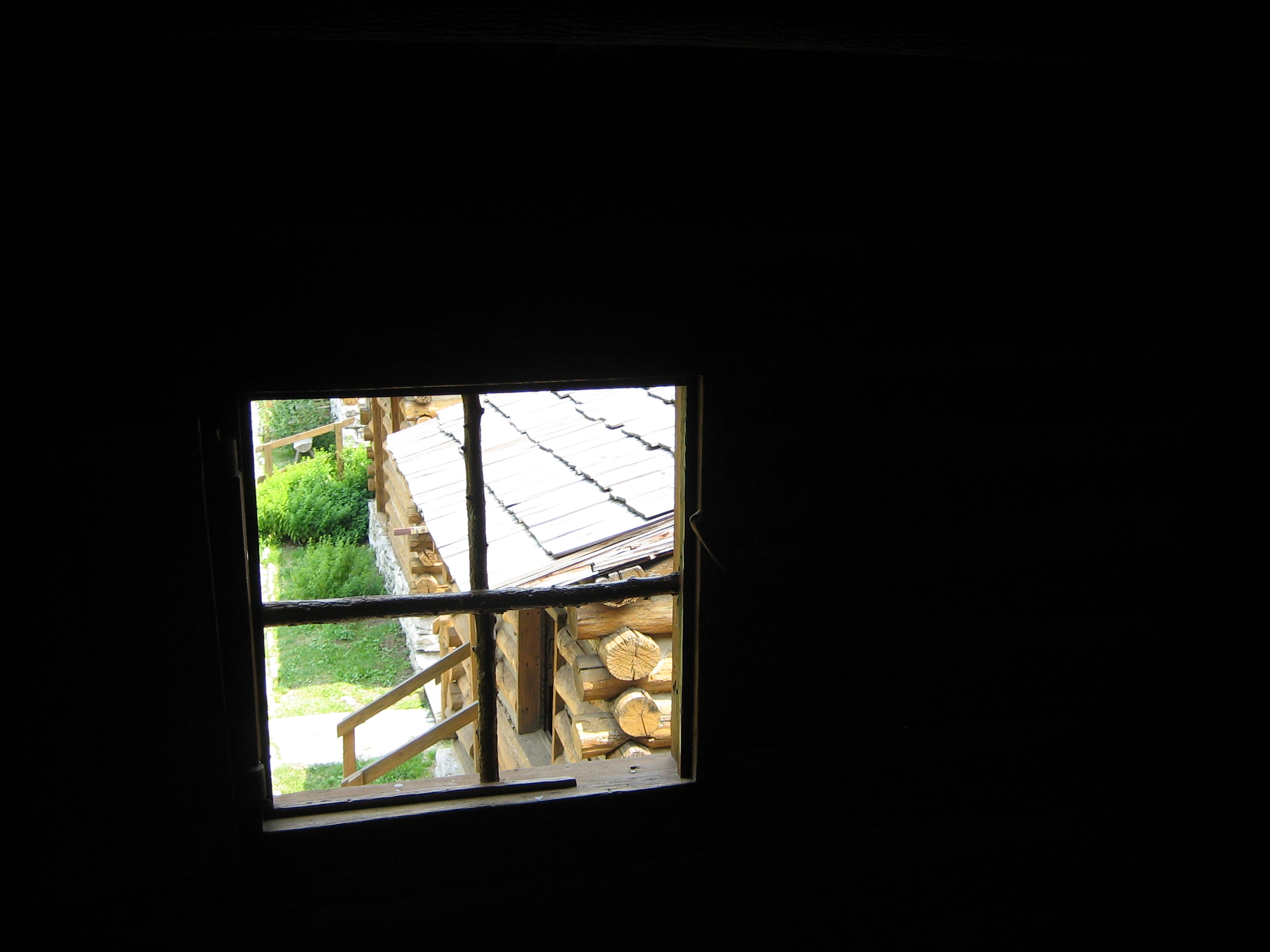
View from inside a building at Fort Harrod
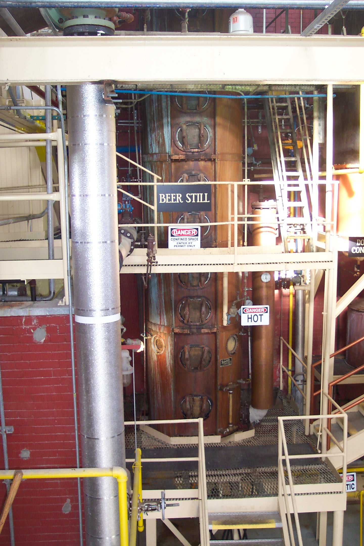
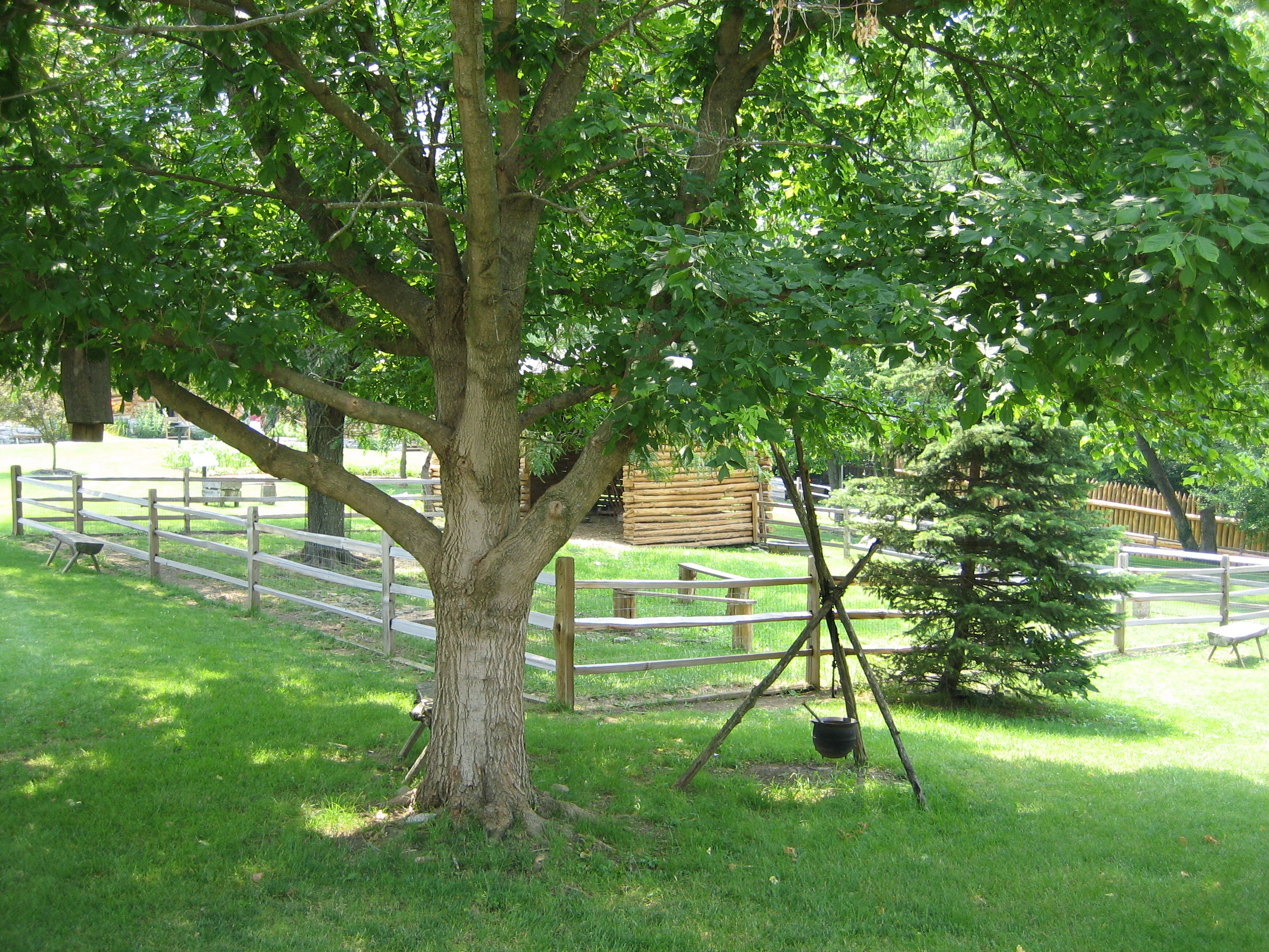
Beer Still
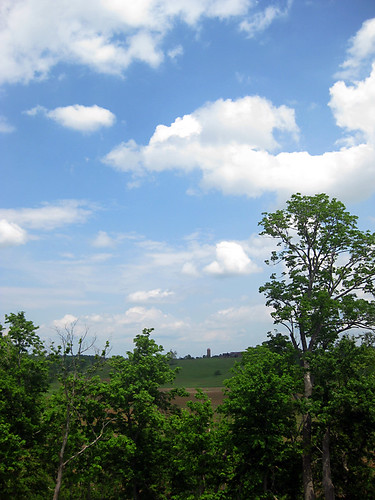
View from Fox Creek Cemetery
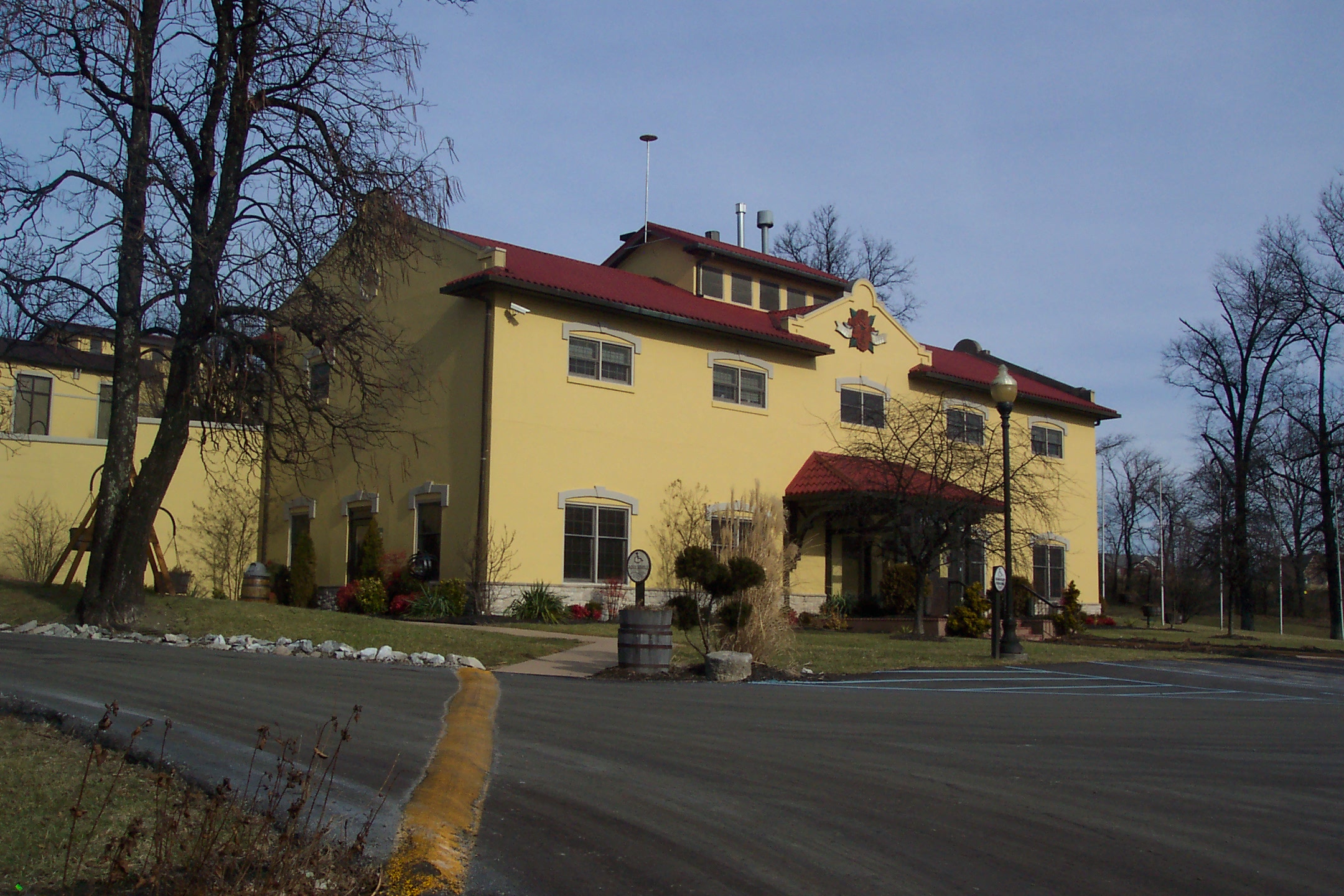
Main Building
View across Fort Harrod
View across Fort Harrod
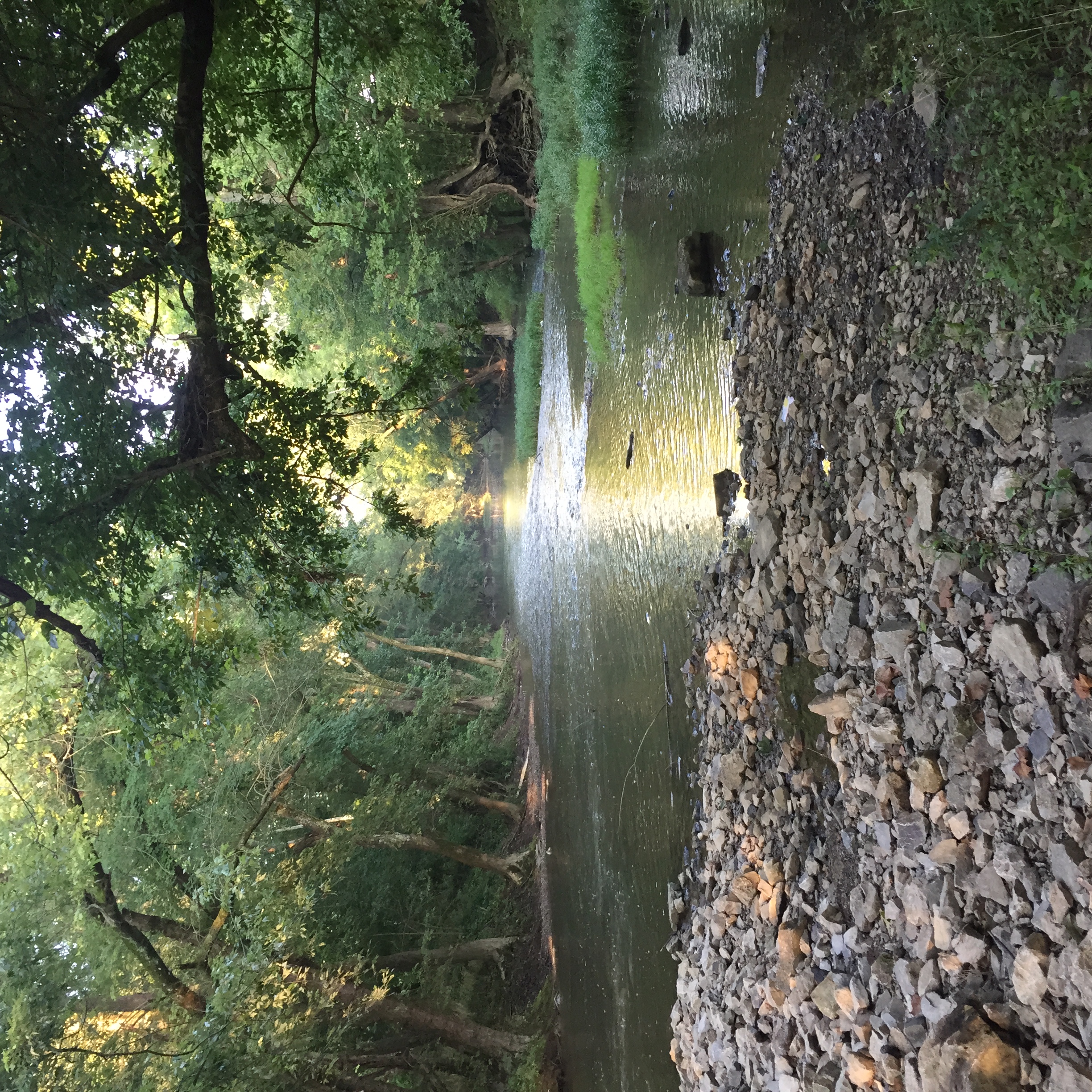
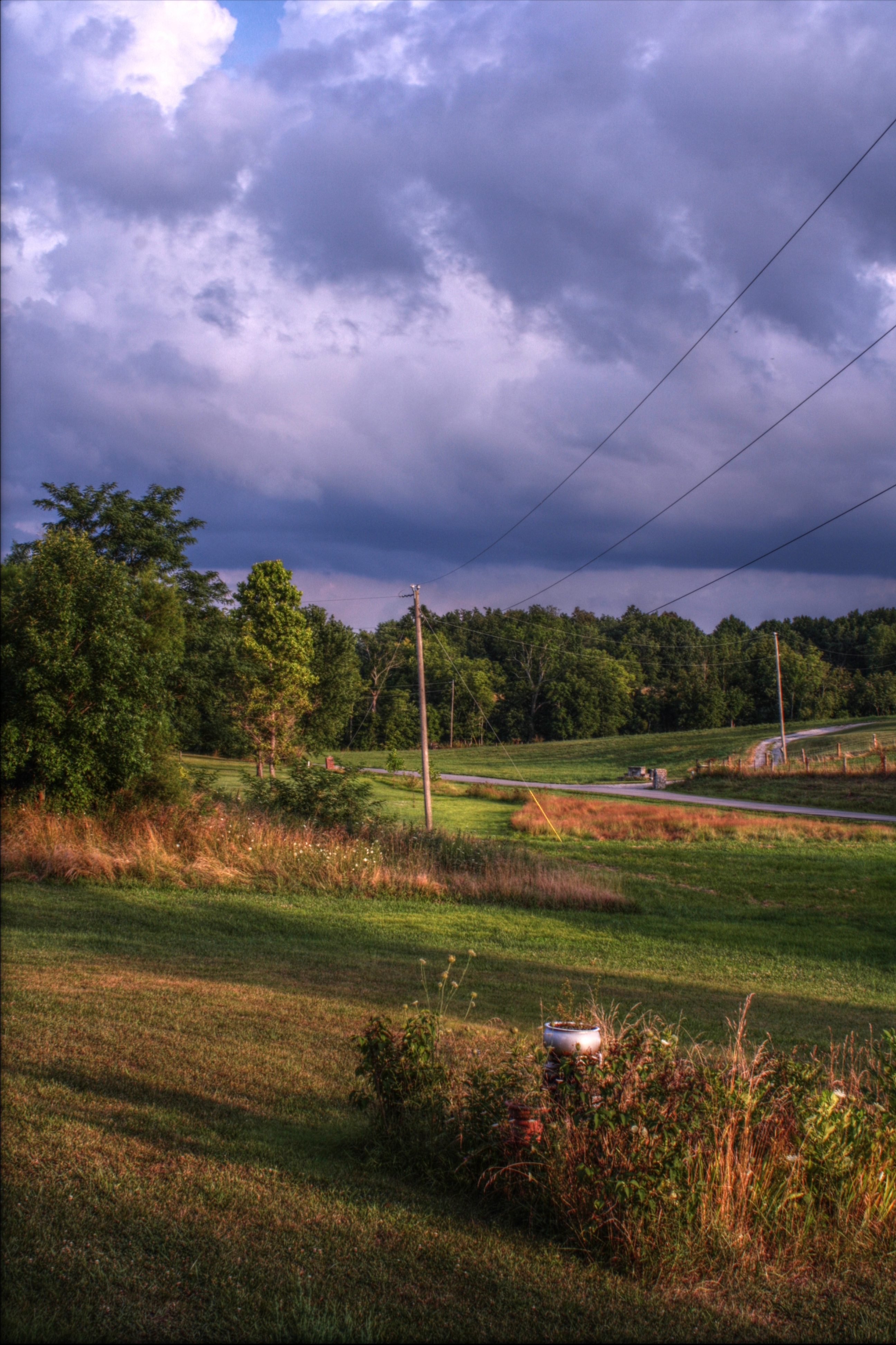
Salt River
07.12.10-pm07.56
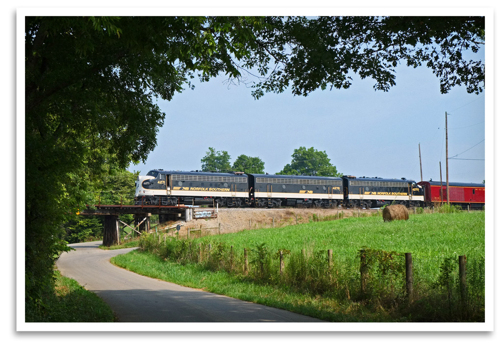
Bondville Reverse

Salt River
Salt River

Salt River
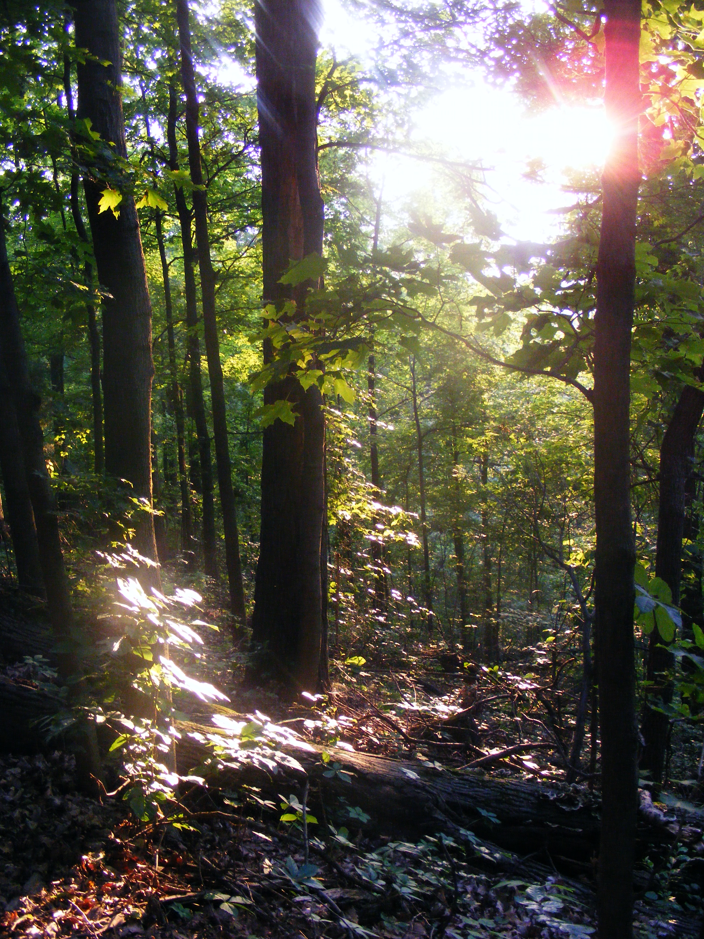
Late May at Jefferson Memorial Forest

Salt River
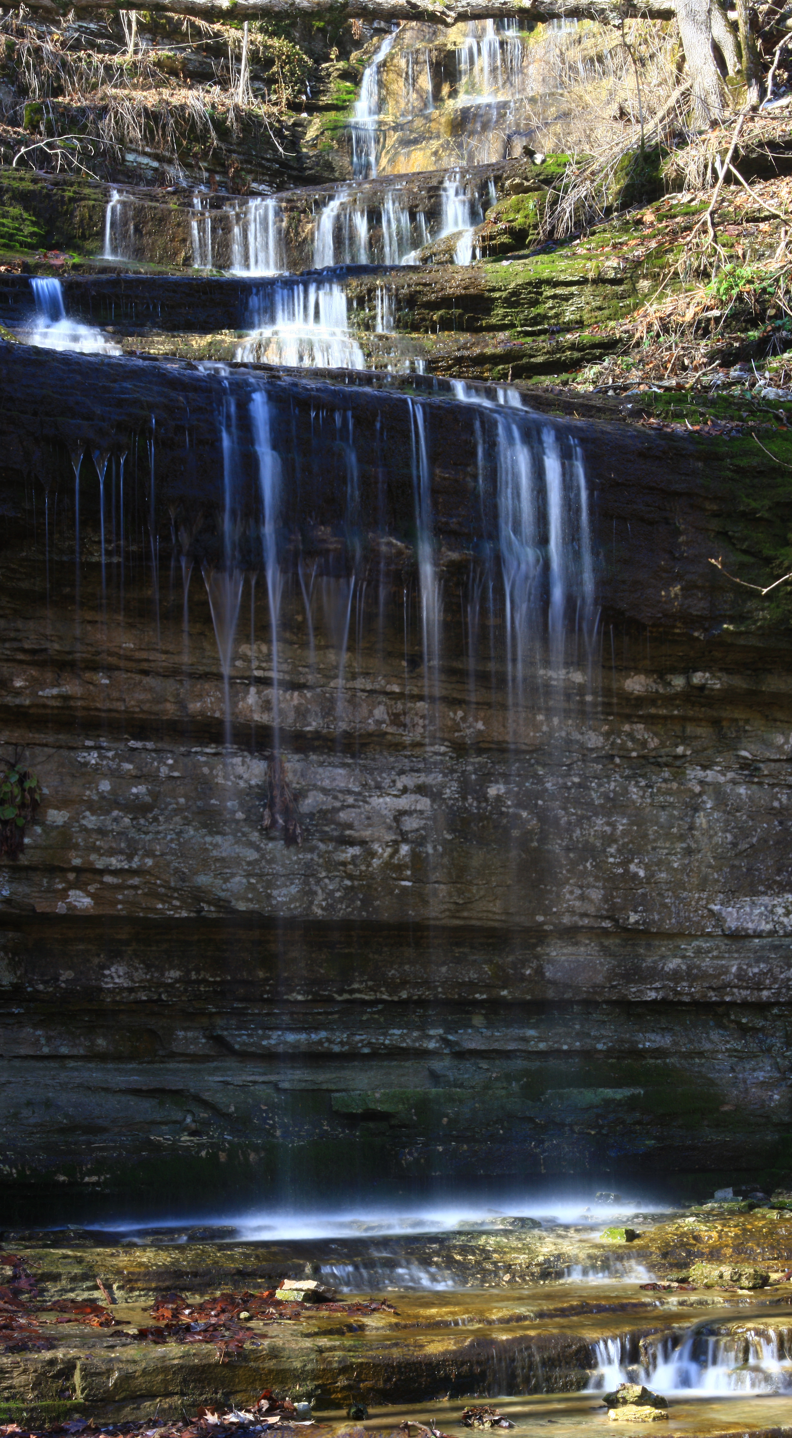
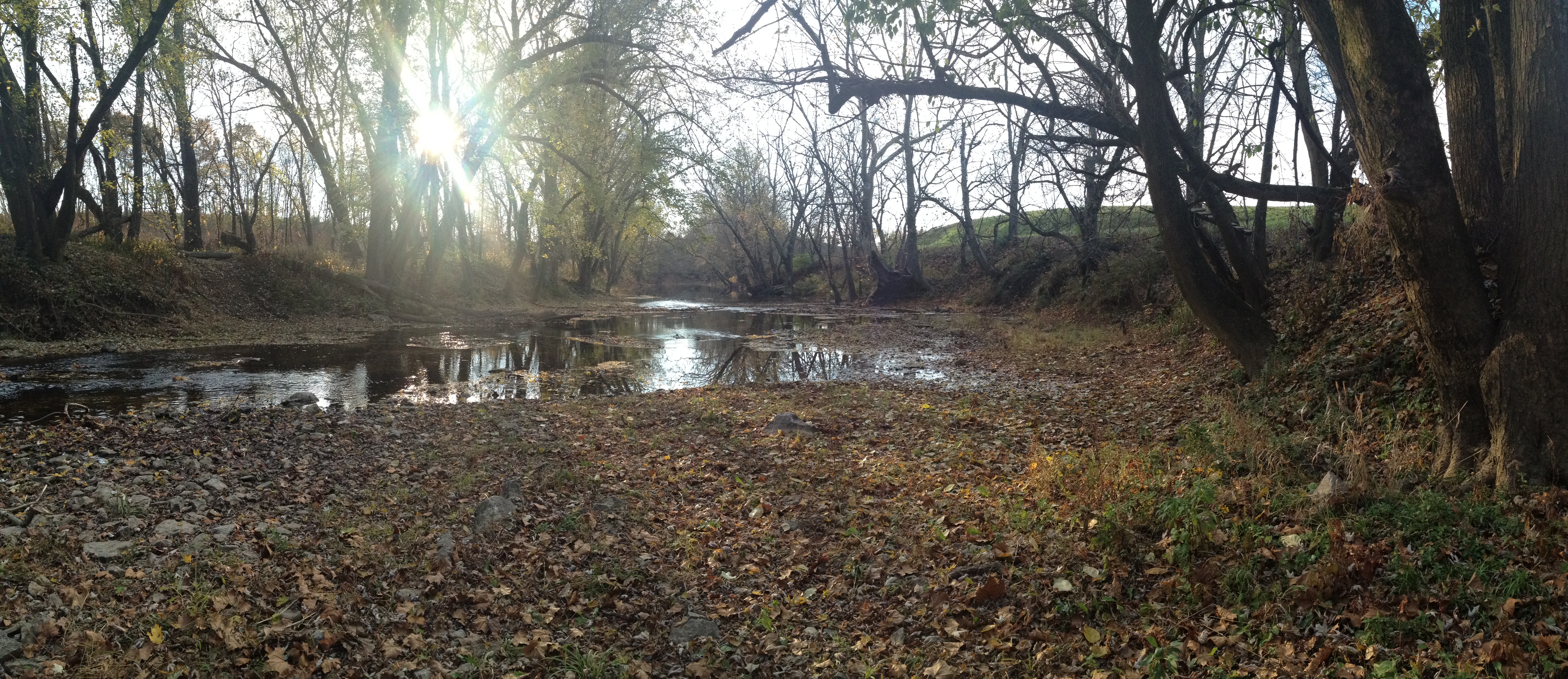
Waterfalls near to "Shaker Village" Ky.
Chinn Poe trail

Front of Old Fort Harrod

More Goats (31_IMG_1363)

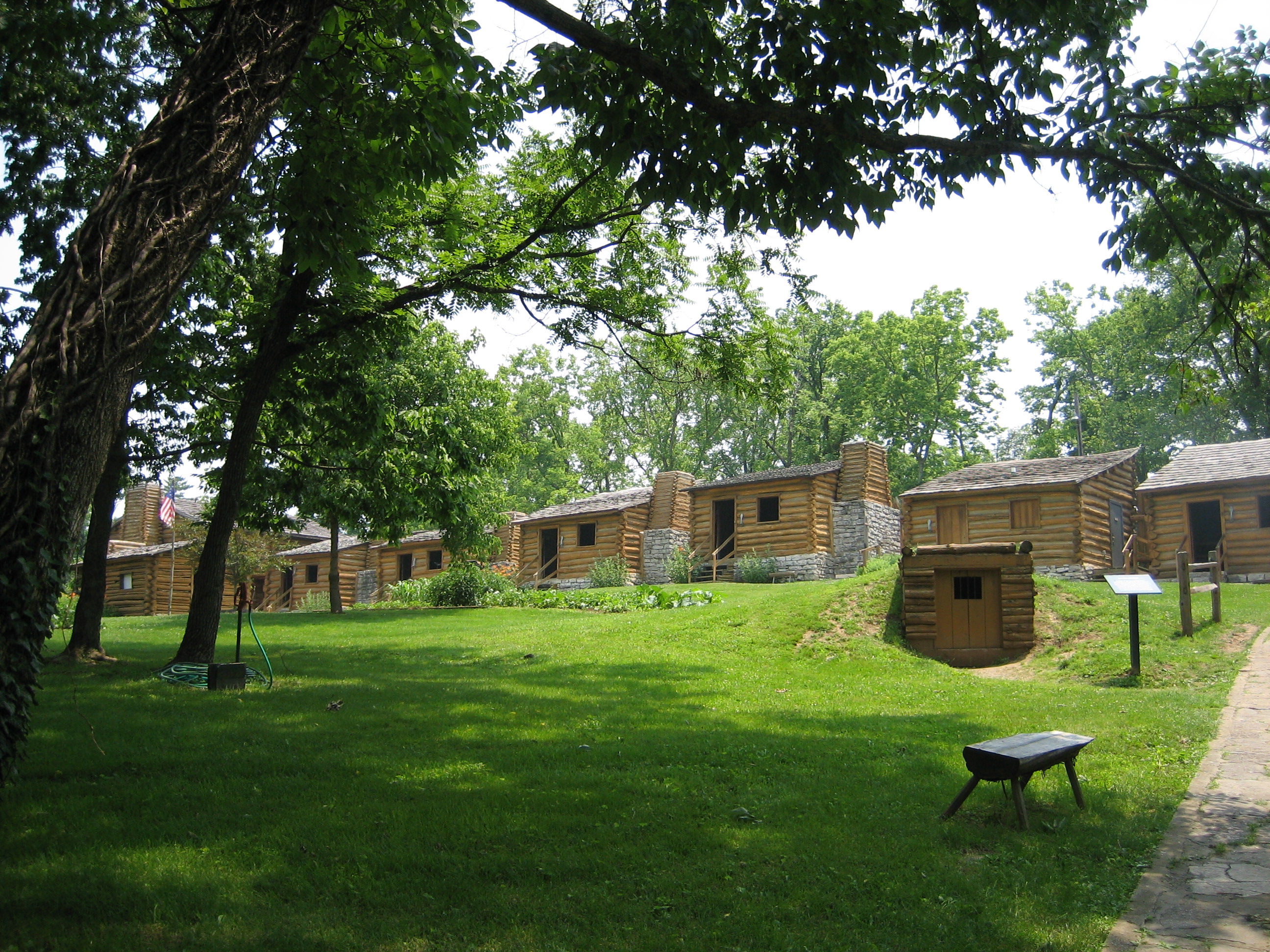
Harrodsburg, KY, home of Old Fort Harrod

Animals (29_IMG_0881)
Topographic Map of -,- Kirkwood Rd, Harrodsburg, KY, USA
Find elevation by address:

Places near -,- Kirkwood Rd, Harrodsburg, KY, USA:
1662 Talmage Mayo Rd
3367 Talmage Mayo Rd
785 Garriott Ln
Ballard Rd, Lawrenceburg, KY, USA
Harrodsburg, KY, USA
Mercer County
695 Calvary Rd
Salvisa
Louisville Rd, Salvisa, KY, USA
2155 Ballard Rd
355 Freeman Ln
Bardstown Rd, Lawrenceburg, KY, USA
130 Ole Mill Rd
1280 Bear Creek Rd
1284 Bear Creek Rd
Oregon Road
Oregon Rd, Versailles, KY, USA
2771 Baker Ridge Rd
1110 Carey Mill Rd
1467 Warwick Rd
Recent Searches:
- Elevation of Corso Fratelli Cairoli, 35, Macerata MC, Italy
- Elevation of Tallevast Rd, Sarasota, FL, USA
- Elevation of 4th St E, Sonoma, CA, USA
- Elevation of Black Hollow Rd, Pennsdale, PA, USA
- Elevation of Oakland Ave, Williamsport, PA, USA
- Elevation of Pedrógão Grande, Portugal
- Elevation of Klee Dr, Martinsburg, WV, USA
- Elevation of Via Roma, Pieranica CR, Italy
- Elevation of Tavkvetili Mountain, Georgia
- Elevation of Hartfords Bluff Cir, Mt Pleasant, SC, USA