Elevation of Äijäläntie 13, Alavus, Finland
Location: Finland > Alavus >
Longitude: 23.5449167
Latitude: 62.451968
Elevation: 119m / 390feet
Barometric Pressure: 100KPa
Elevation Map:
Satellite Map:
Related Photos:
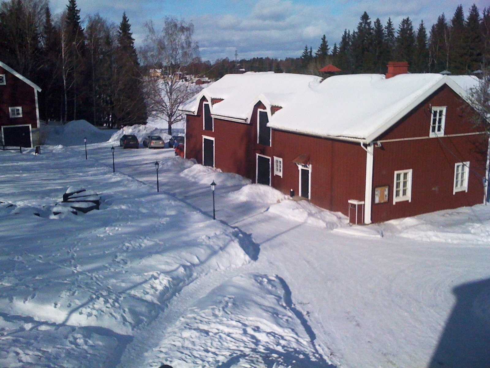
WP_20140914_004
Topographic Map of Äijäläntie 13, Alavus, Finland
Find elevation by address:

Places near Äijäläntie 13, Alavus, Finland:
Linnantie, Alavus, Finland
Soukanperäntie 7, Alavus, Finland
Isokaari 11, Alavus, Finland
Soukanperäntie, Alavus, Finland
Alavus
Penttiläntie 4, Alavus, Finland
Ponneniementie, Alavus, Finland
Vermaantie, Virrat, Finland
Isomäentie 23, Alavus, Finland
Virrat
Vaskuuntie 7, Virrat, Finland
Herrasentie 12, Virrat, Finland
Saurakalliontie 36
Alavudentie, Töysä, Finland
Myllymäentie 29, Alavus, Finland
Nyrhiläntie 22, Kuortane, Finland
Varpustie 4, Virrat, Finland
Lampimäentie, Virrat, Finland
Kuortane
Tiensuuntie, Alavus, Finland
Recent Searches:
- Elevation of Corso Fratelli Cairoli, 35, Macerata MC, Italy
- Elevation of Tallevast Rd, Sarasota, FL, USA
- Elevation of 4th St E, Sonoma, CA, USA
- Elevation of Black Hollow Rd, Pennsdale, PA, USA
- Elevation of Oakland Ave, Williamsport, PA, USA
- Elevation of Pedrógão Grande, Portugal
- Elevation of Klee Dr, Martinsburg, WV, USA
- Elevation of Via Roma, Pieranica CR, Italy
- Elevation of Tavkvetili Mountain, Georgia
- Elevation of Hartfords Bluff Cir, Mt Pleasant, SC, USA