Elevation of - Gulf Dr, Creole, LA, USA
Location: United States > Louisiana > Cameron Parish > Creole >
Longitude: -93.124267
Latitude: 29.759785
Elevation: 0m / 0feet
Barometric Pressure: 101KPa
Elevation Map:
Satellite Map:
Related Photos:
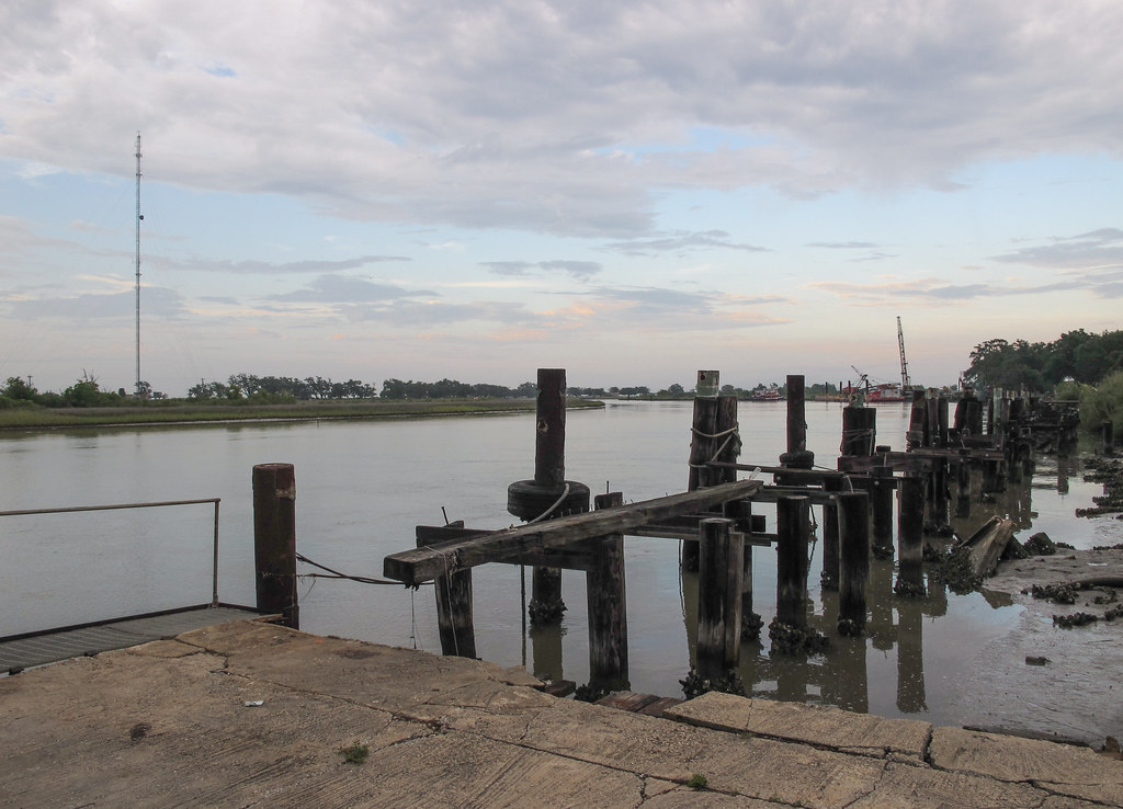
Well dang if it isn't Louisiana's famous Mermentau River this hot evening.
my kinda therapy

Common Nighthawk

Oak Grove Sancturary

Adkins property at Willow Island

Rutherford Beach Winter
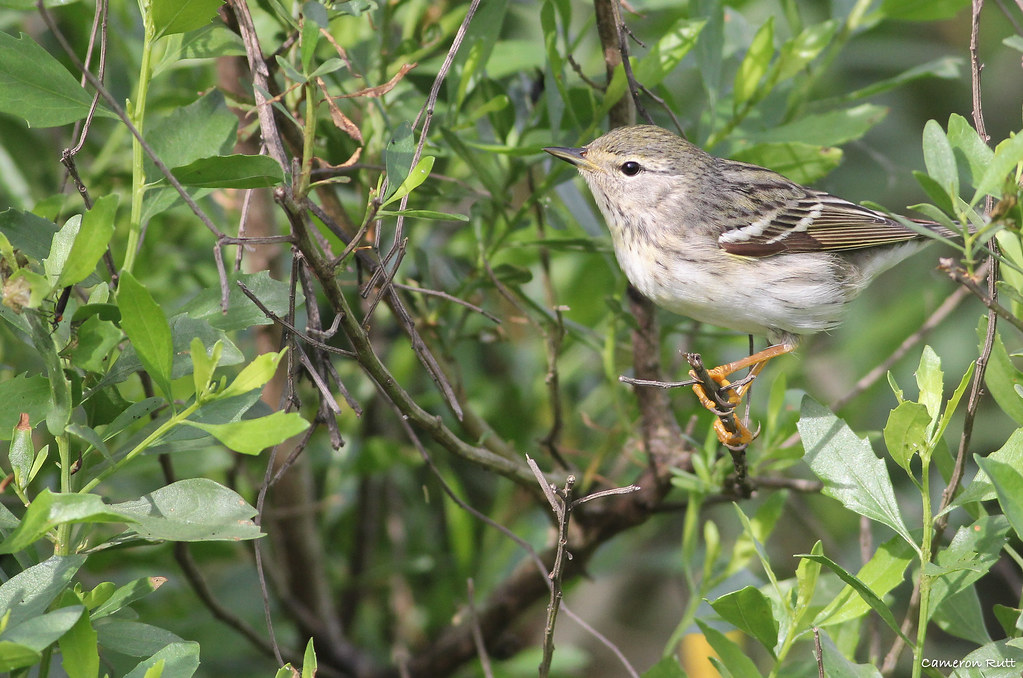
Blackpoll Warbler

Hwy 82 Louisiana
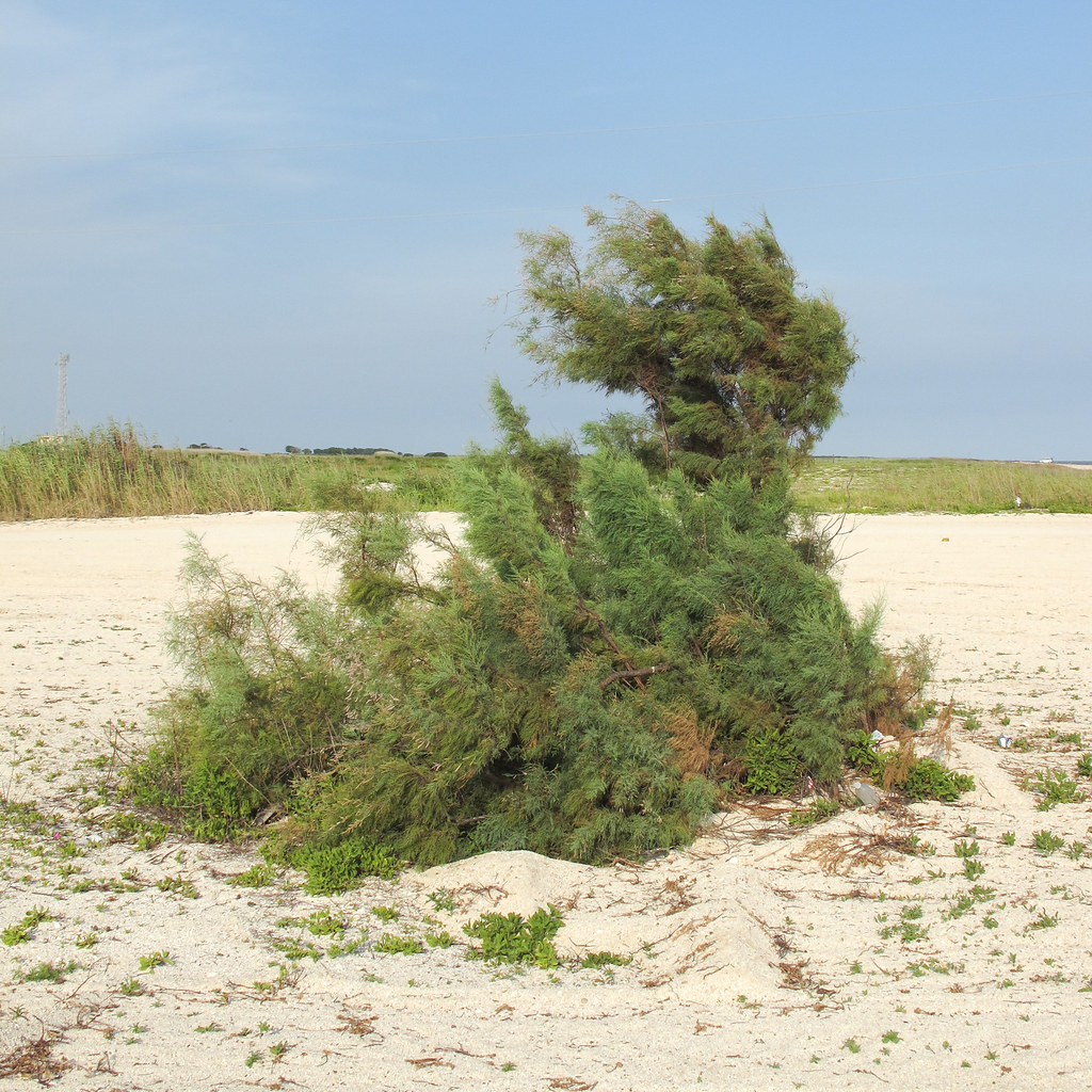
Louisiana beach plant.
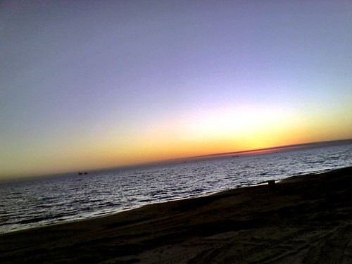
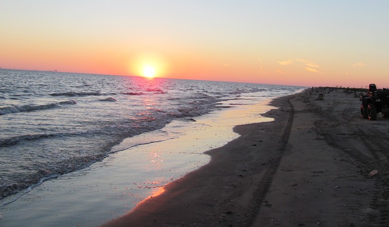
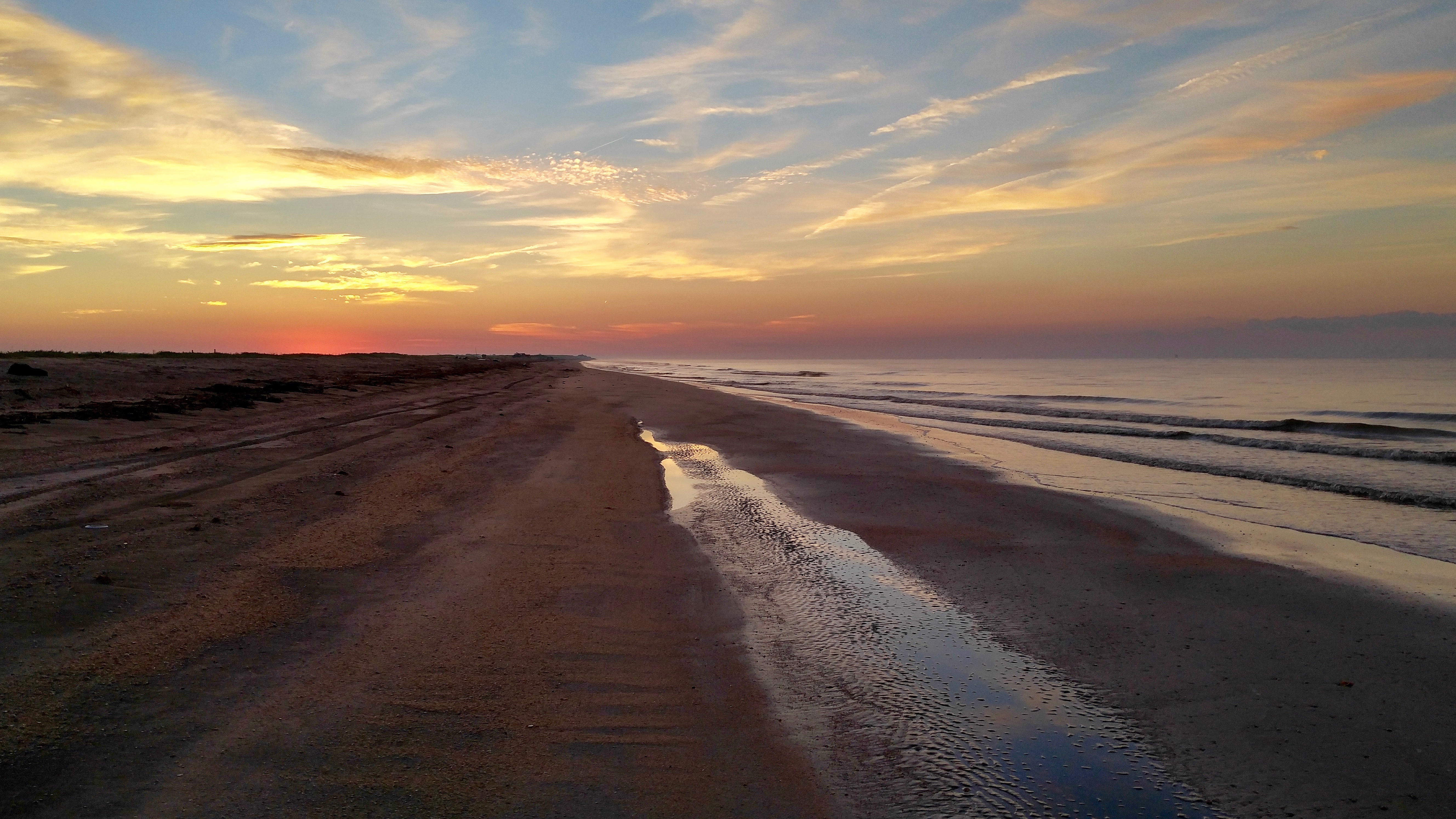
Rutherford Beach sunset

Common Nighthawk
Rutherford Beach

DSC_4229.jpg
At the Pintail drive

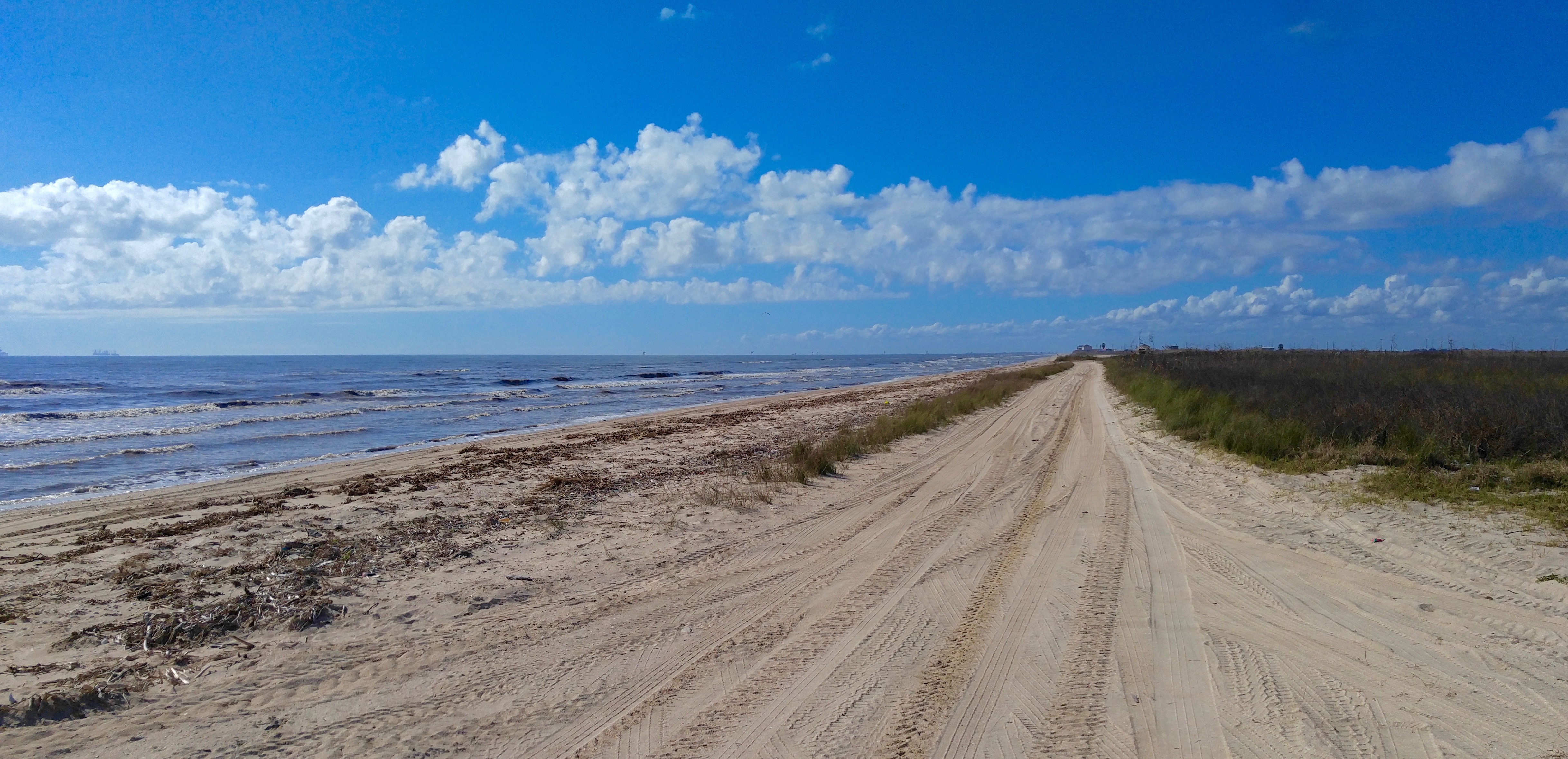
rutherford beach road
Rutherford Beach Road

Rutherford Beach Road
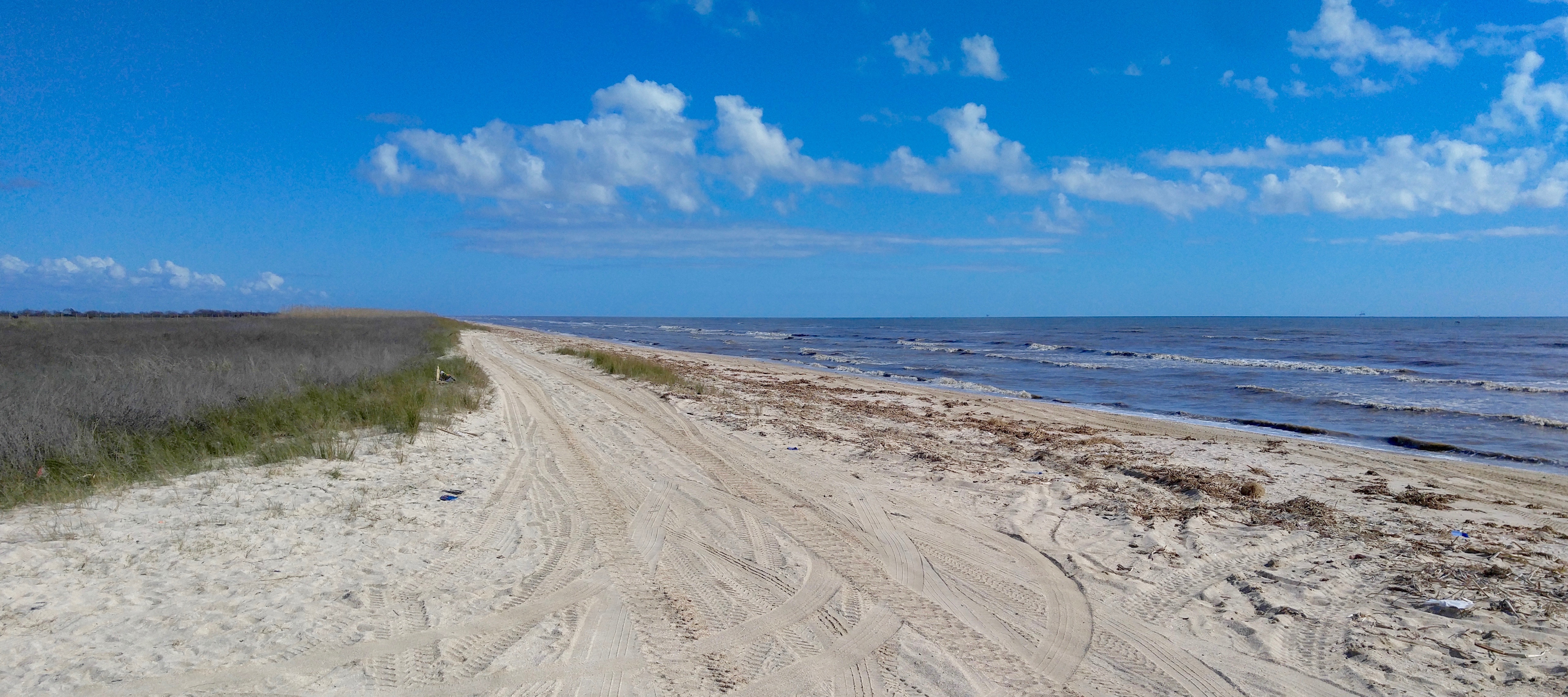
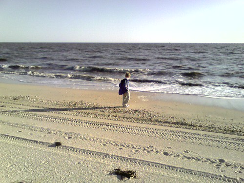
Rutherford Beach
Rutherford Beach
Rutherford Beach
Rutherford Beach
Topographic Map of - Gulf Dr, Creole, LA, USA
Find elevation by address:

Places near - Gulf Dr, Creole, LA, USA:
Creole
1091 Oak Grove Hwy
4439 W Creole Hwy
111 Dorcelie Rd
5, LA, USA
Cameron Parish
675 Little Chenier Rd
1084 Little Chenier Rd
Grand Chenier
6, LA, USA
Creole, LA, USA
Cameron
3, LA, USA
Bayou Serpent, Bell City, LA, USA
907 Big Pasture Rd
170 Teal Ln
7, LA, USA
999 La-384
Joe Dugas Road
LA-, Lake Charles, LA, USA
Recent Searches:
- Elevation of Corso Fratelli Cairoli, 35, Macerata MC, Italy
- Elevation of Tallevast Rd, Sarasota, FL, USA
- Elevation of 4th St E, Sonoma, CA, USA
- Elevation of Black Hollow Rd, Pennsdale, PA, USA
- Elevation of Oakland Ave, Williamsport, PA, USA
- Elevation of Pedrógão Grande, Portugal
- Elevation of Klee Dr, Martinsburg, WV, USA
- Elevation of Via Roma, Pieranica CR, Italy
- Elevation of Tavkvetili Mountain, Georgia
- Elevation of Hartfords Bluff Cir, Mt Pleasant, SC, USA