Elevation map of Łódź Voivodeship, Poland
Location: Poland >
Longitude: 19.1726974
Latitude: 51.4634771
Elevation: 190m / 623feet
Barometric Pressure: 99KPa
Elevation Map:
Satellite Map:
Related Photos:
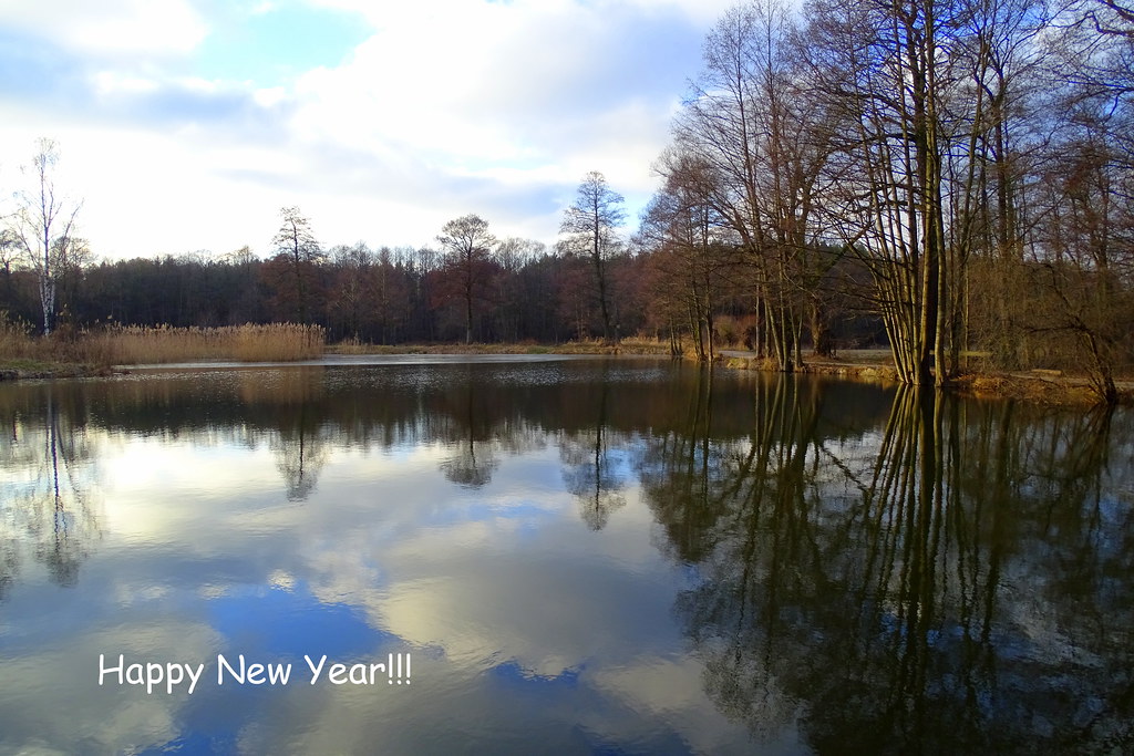
Happy New Year!!!
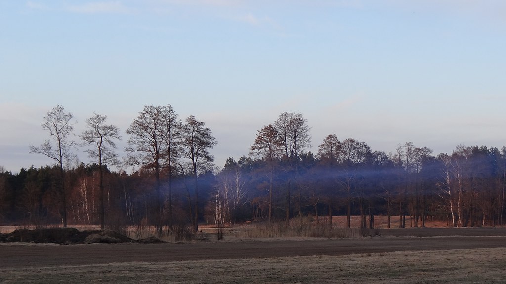
blue fog

in the forest
in the forest
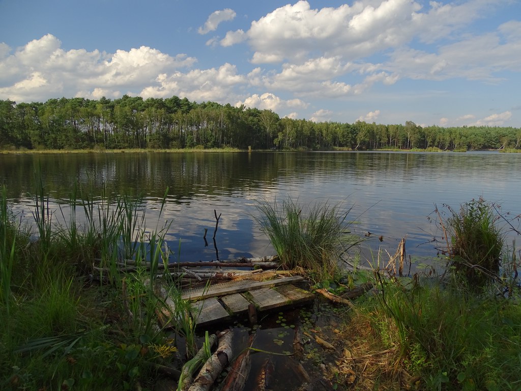
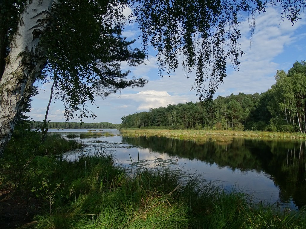
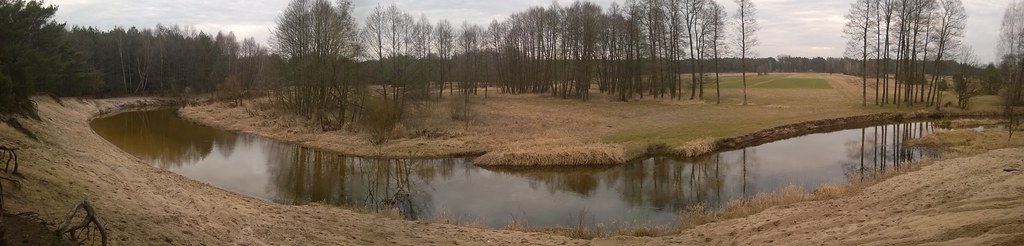
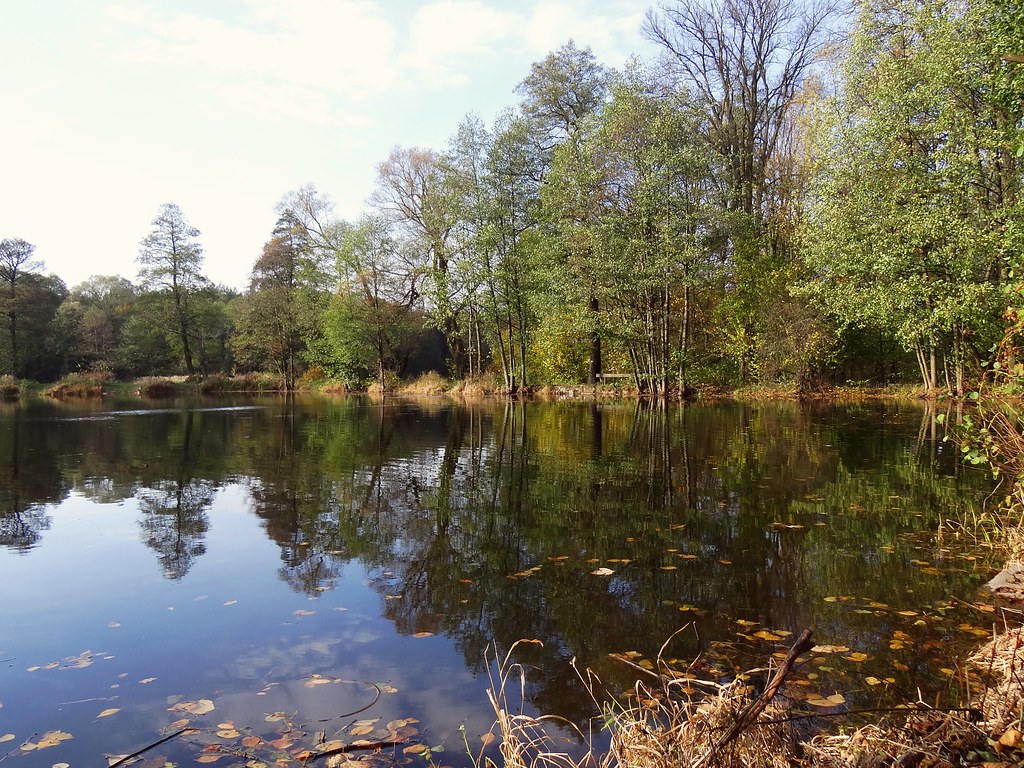
forest lake

spring evening
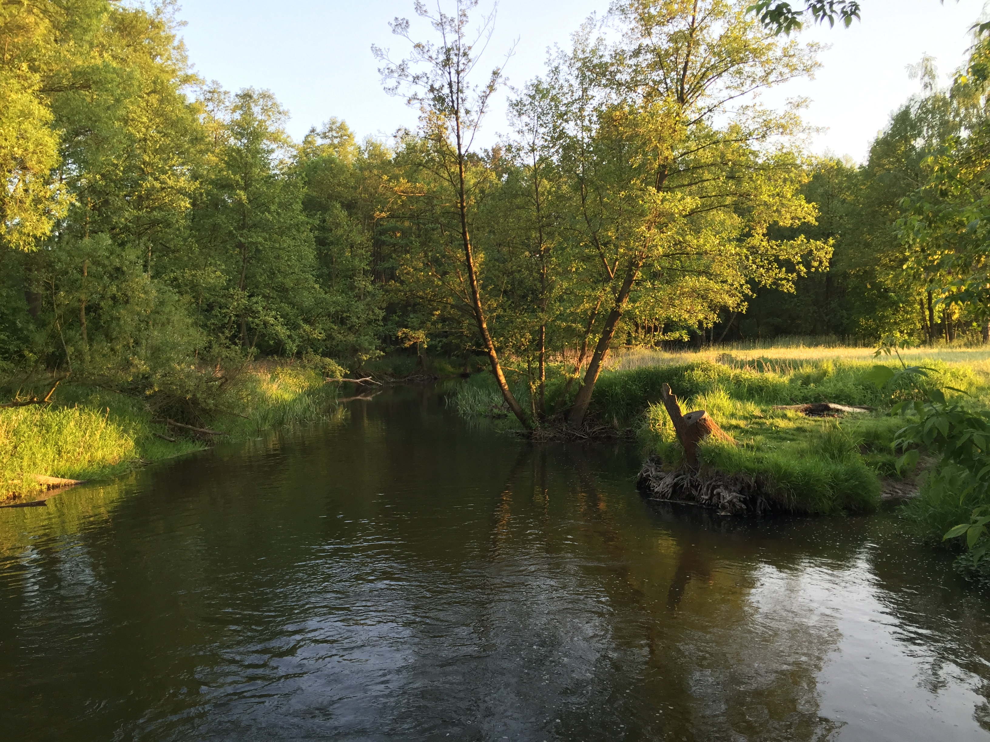
River Grabia
autumn in Talar

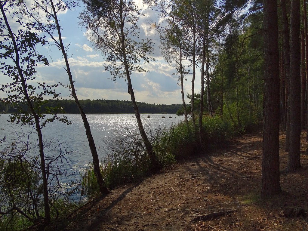
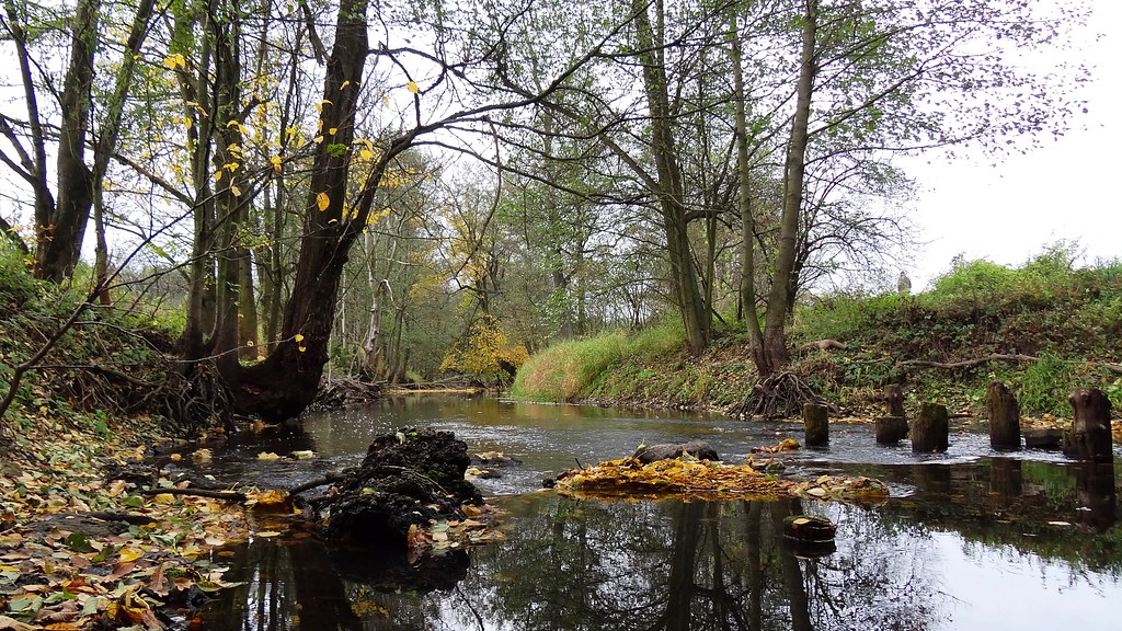
The stream
forest lake
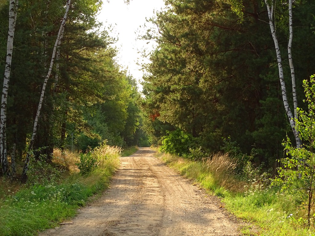
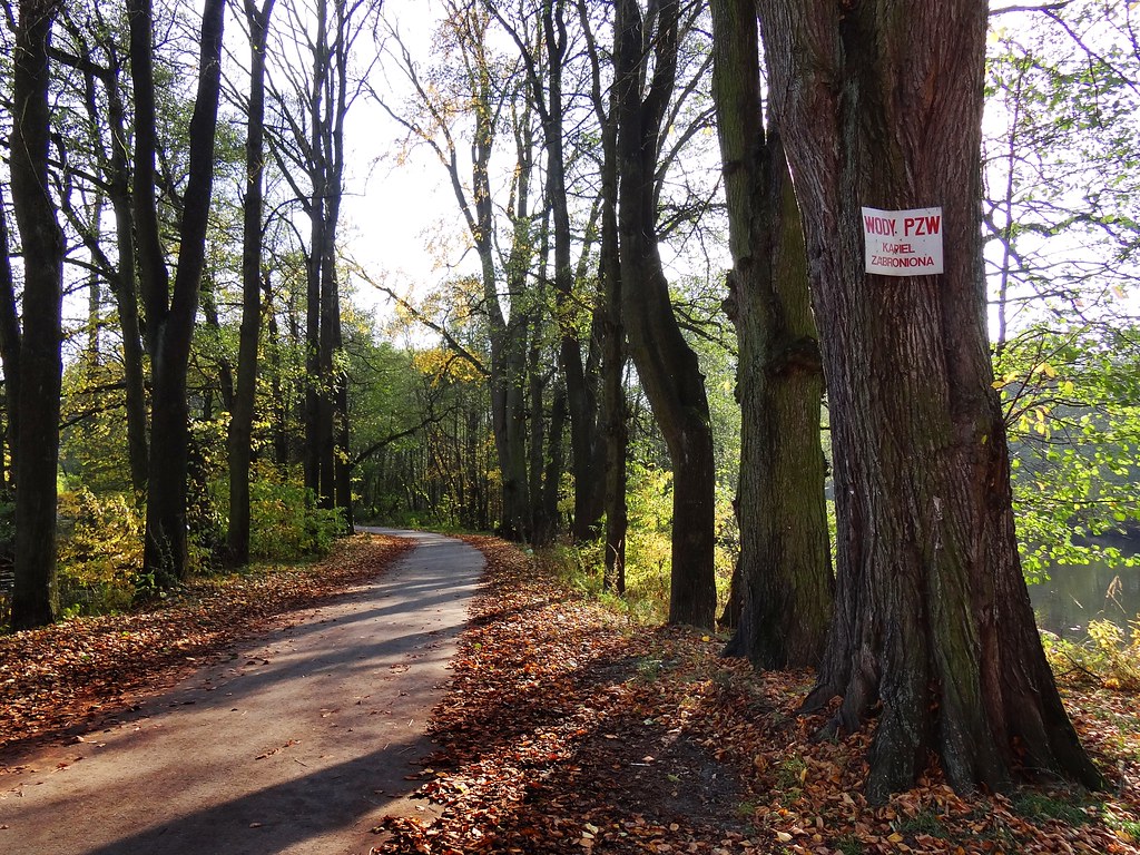
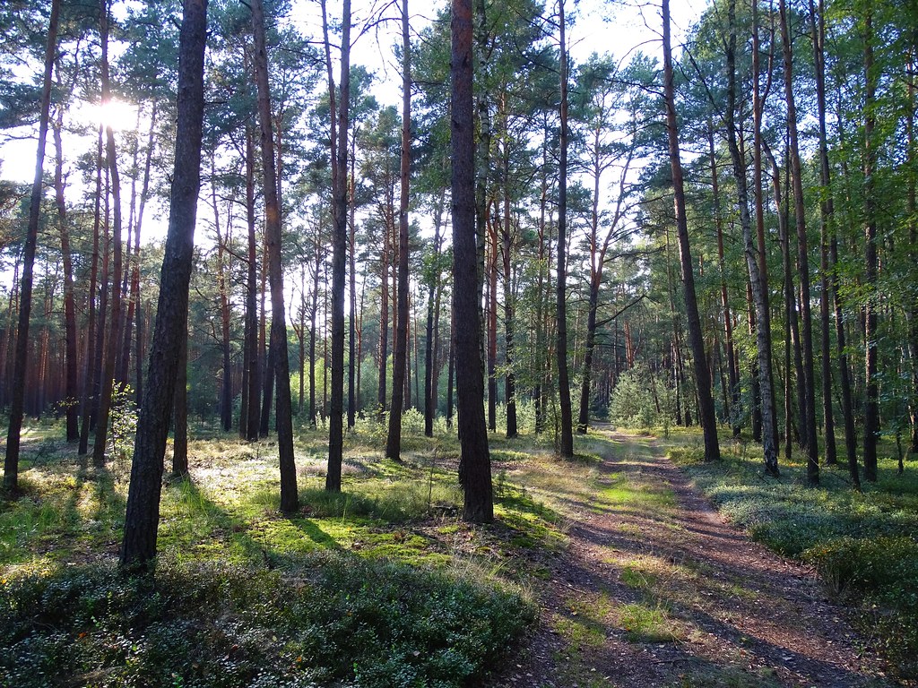
summer path

The Stream
...

The Stream
autumn by River Grabia
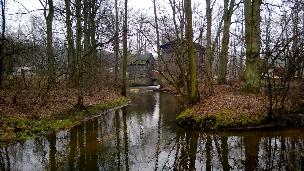
Old WaterMill in Talar
in the forest
The Stream
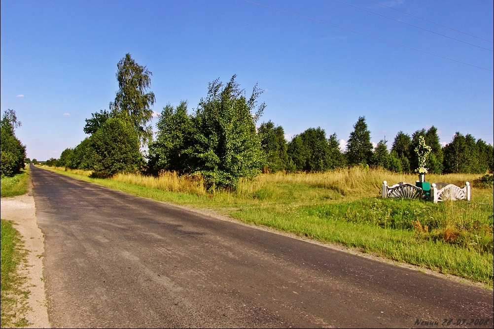
001047 - Pukawica 1.1

snowless winter

Hidden Faces
Topographic Map of Łódź Voivodeship, Poland
Find elevation by address:

Places in Łódź Voivodeship, Poland:
Łódź
Bełchatów County
Piotrków Trybunalski
Autostrada Wolności
Unnamed Road
Teodory-Osiedle 39, 98- Mauryca, Poland
Zgierz County
Brzeziny County
Pabianice County
Q2qx+v4
Kutno
Places near Łódź Voivodeship, Poland:
Gmina Zelów
Pukawica
Unnamed Road
Teodory-Osiedle 39, 98- Mauryca, Poland
Bełchatów County
Kolonia Ldzań
Pabianice County
Paderewskiego 11
Łódź
Piotrkowska Street
Śródmieście
Łódź
Łódź
Poland
Księcia Władysława Opolczyka
Widzew
Cykarzew Północny
Zgierz County
Dobra
Autostrada Wolności
Recent Searches:
- Elevation of Corso Fratelli Cairoli, 35, Macerata MC, Italy
- Elevation of Tallevast Rd, Sarasota, FL, USA
- Elevation of 4th St E, Sonoma, CA, USA
- Elevation of Black Hollow Rd, Pennsdale, PA, USA
- Elevation of Oakland Ave, Williamsport, PA, USA
- Elevation of Pedrógão Grande, Portugal
- Elevation of Klee Dr, Martinsburg, WV, USA
- Elevation of Via Roma, Pieranica CR, Italy
- Elevation of Tavkvetili Mountain, Georgia
- Elevation of Hartfords Bluff Cir, Mt Pleasant, SC, USA