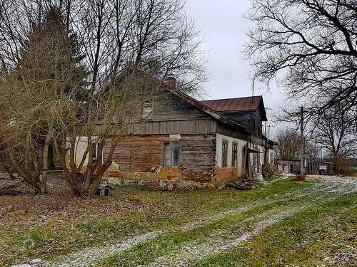
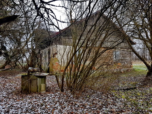
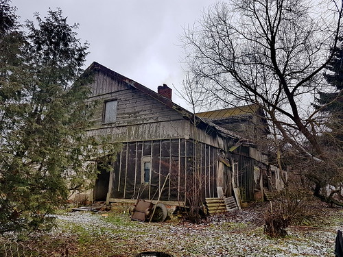
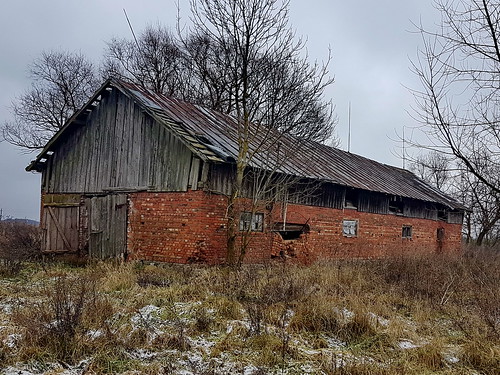
Elevation of Šakiai District Municipality, Lithuania
Location: Lithuania > Marijampolė County >
Longitude: 23.0433392
Latitude: 54.9397588
Elevation: 52m / 171feet
Barometric Pressure: 101KPa
Related Photos:
Topographic Map of Šakiai District Municipality, Lithuania
Find elevation by address:

Places in Šakiai District Municipality, Lithuania:
Places near Šakiai District Municipality, Lithuania:
Šakiai
Jurbarkas District Municipality
Jurbarkas
Jurbarko Miesto Seniūnija
Margiškiai
Raseiniai
Raseiniai District Municipality
A1
Pagonija Rock
Jadagoniai
Kaunas District Municipality
Kelmė
Bijotai
Kelmė District Municipality
8, Bijotai, Lithuania
27, Verpena, Lithuania
Lampėdžiai
Šilainiai
Šarkuvos Gatvė
Kanapinė
Recent Searches:
- Elevation of Corso Fratelli Cairoli, 35, Macerata MC, Italy
- Elevation of Tallevast Rd, Sarasota, FL, USA
- Elevation of 4th St E, Sonoma, CA, USA
- Elevation of Black Hollow Rd, Pennsdale, PA, USA
- Elevation of Oakland Ave, Williamsport, PA, USA
- Elevation of Pedrógão Grande, Portugal
- Elevation of Klee Dr, Martinsburg, WV, USA
- Elevation of Via Roma, Pieranica CR, Italy
- Elevation of Tavkvetili Mountain, Georgia
- Elevation of Hartfords Bluff Cir, Mt Pleasant, SC, USA


