Elevation of -6 Kugamachi, Iwakuni-shi, Yamaguchi-ken -, Japan
Location: Japan > Yamaguchi Prefecture > Iwakuni >
Longitude: 132.0852317
Latitude: 34.0965226
Elevation: 64m / 210feet
Barometric Pressure: 0KPa
Related Photos:

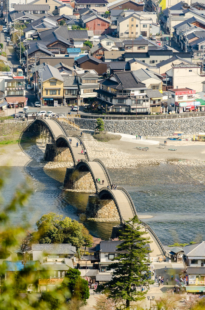
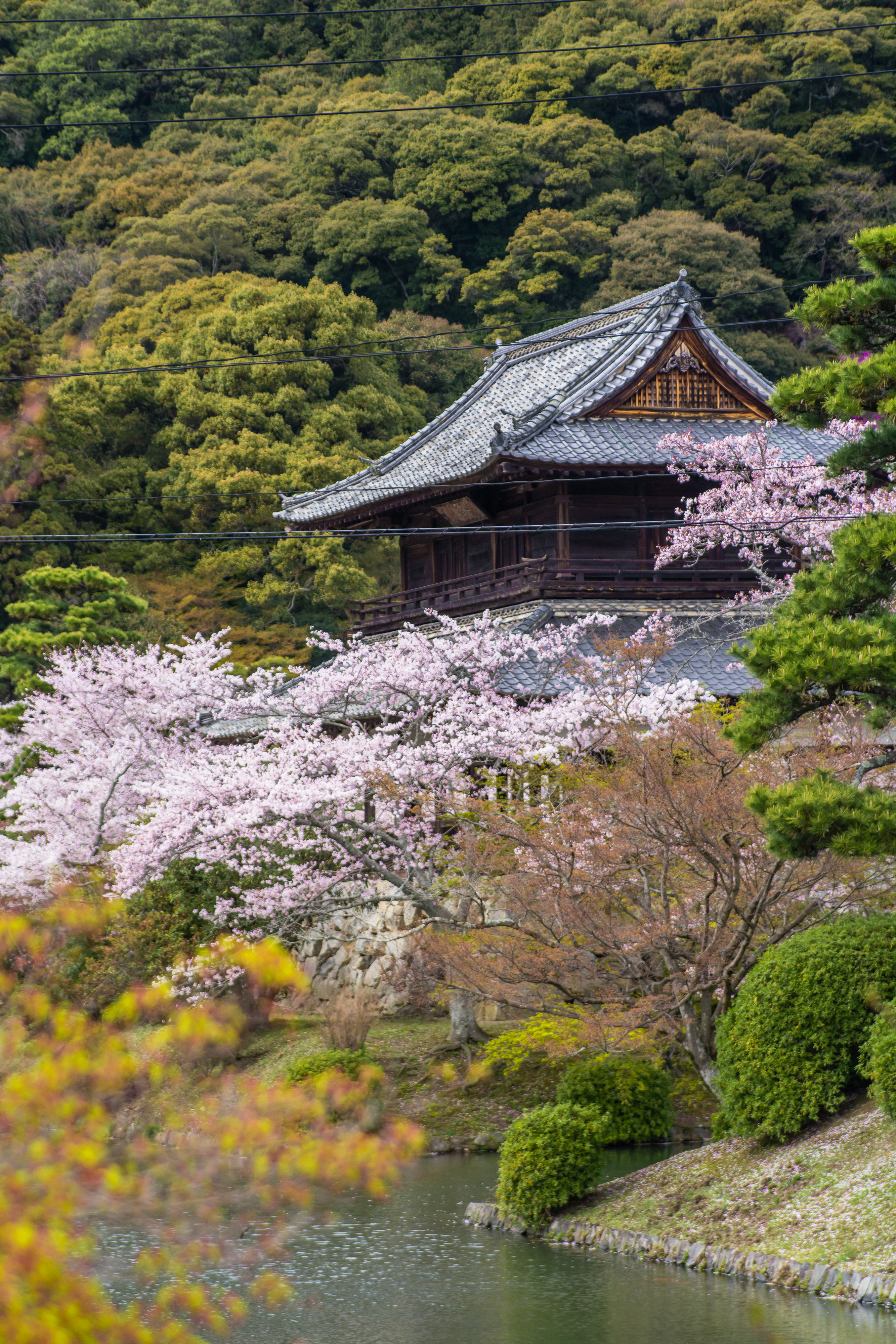
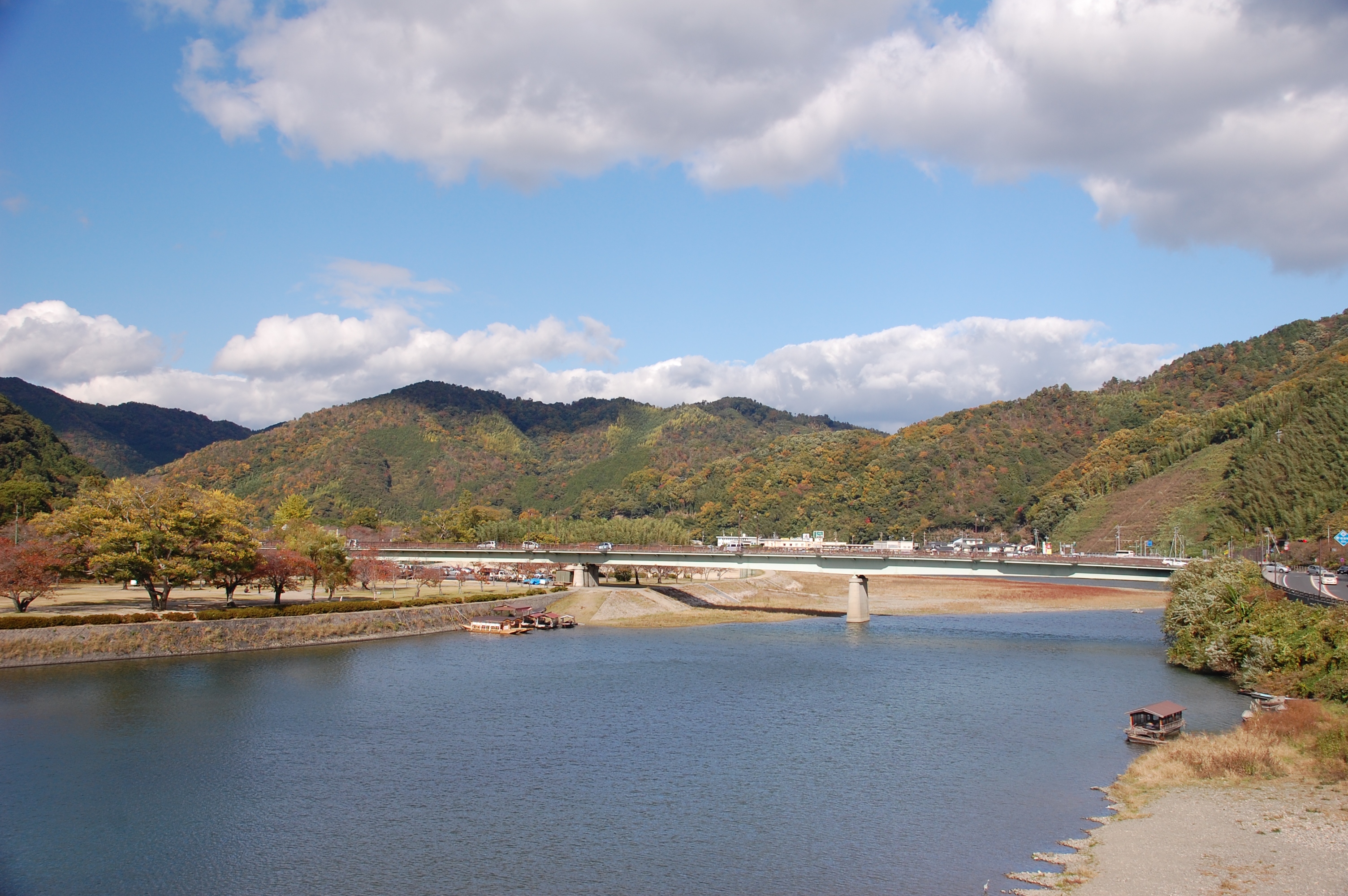
Iwakuni Castle

Вид на мост Кинтай и парк Кикко с замка Ивакуни
Del otro lado del puente

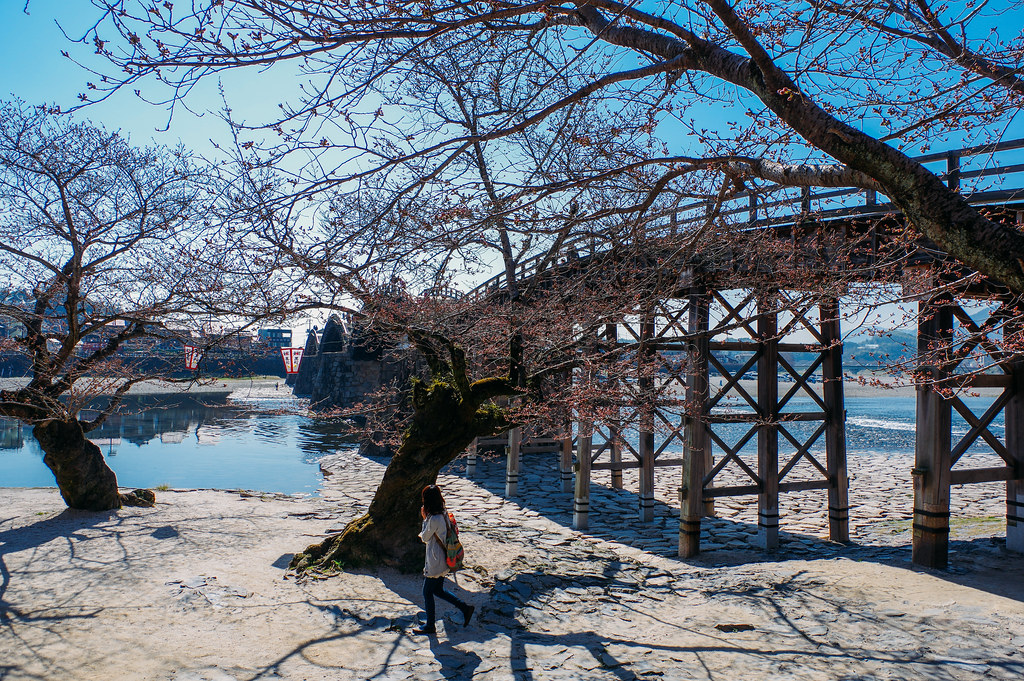
view of the bridge
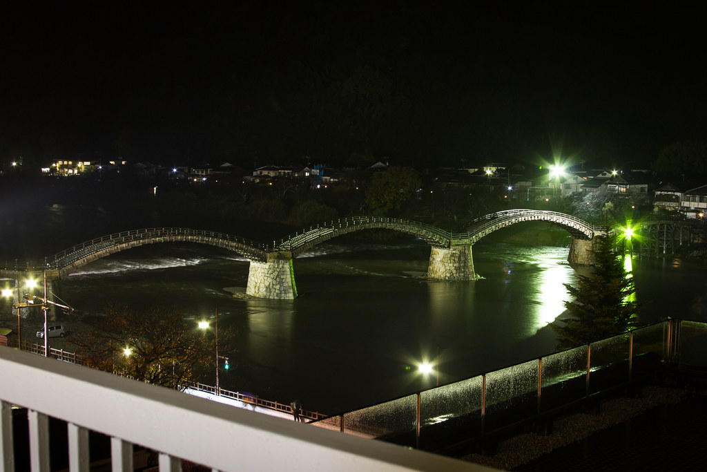
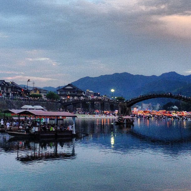
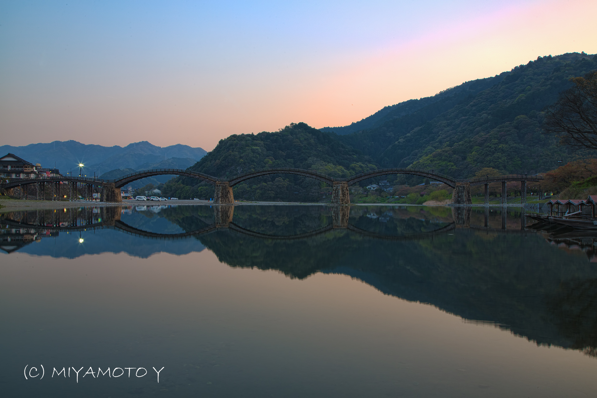
Kintai-kyo Bridge at Night
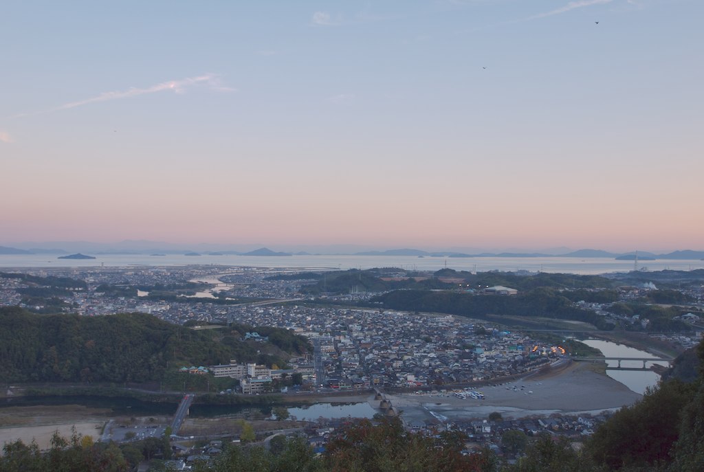
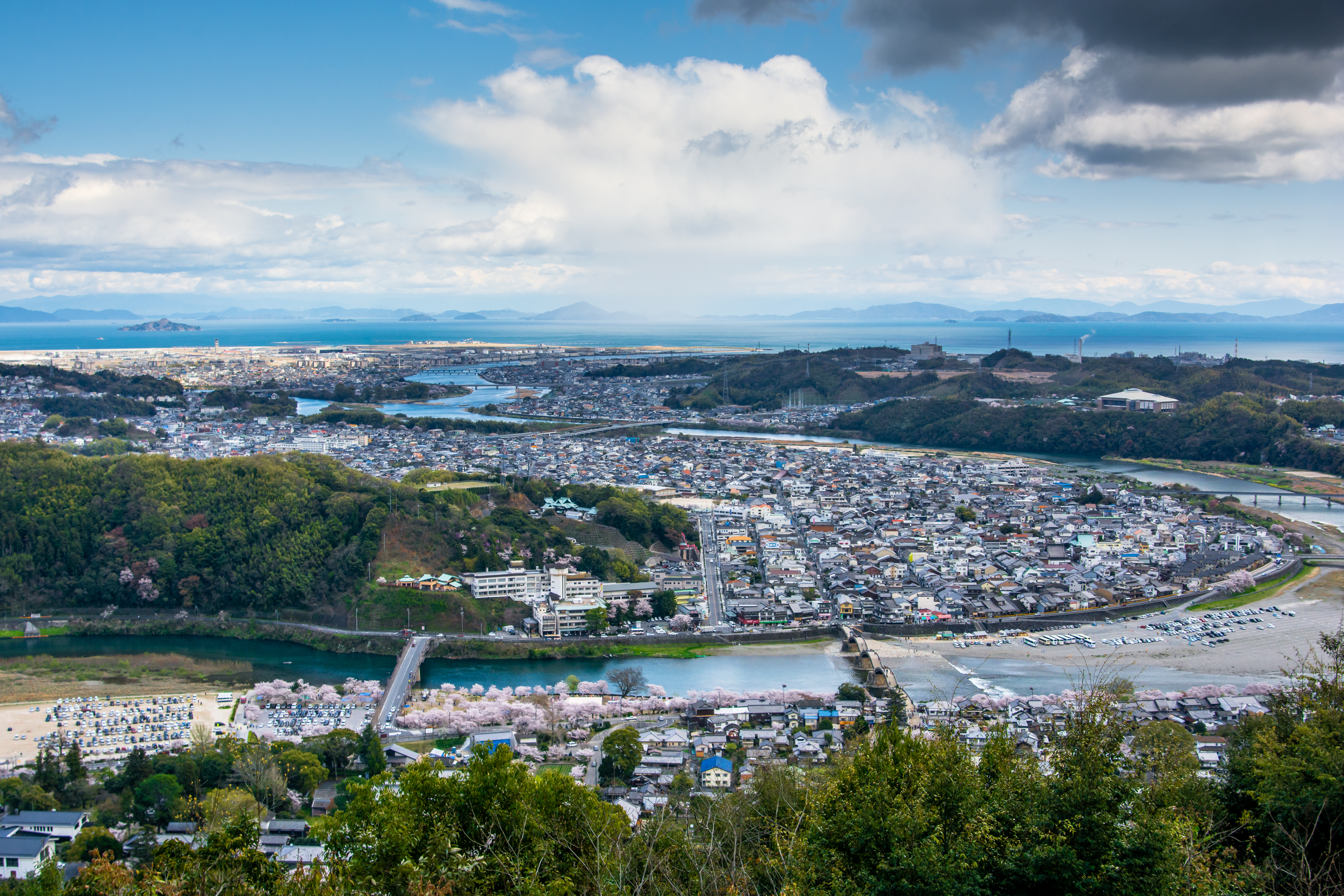
Iwakuni city view
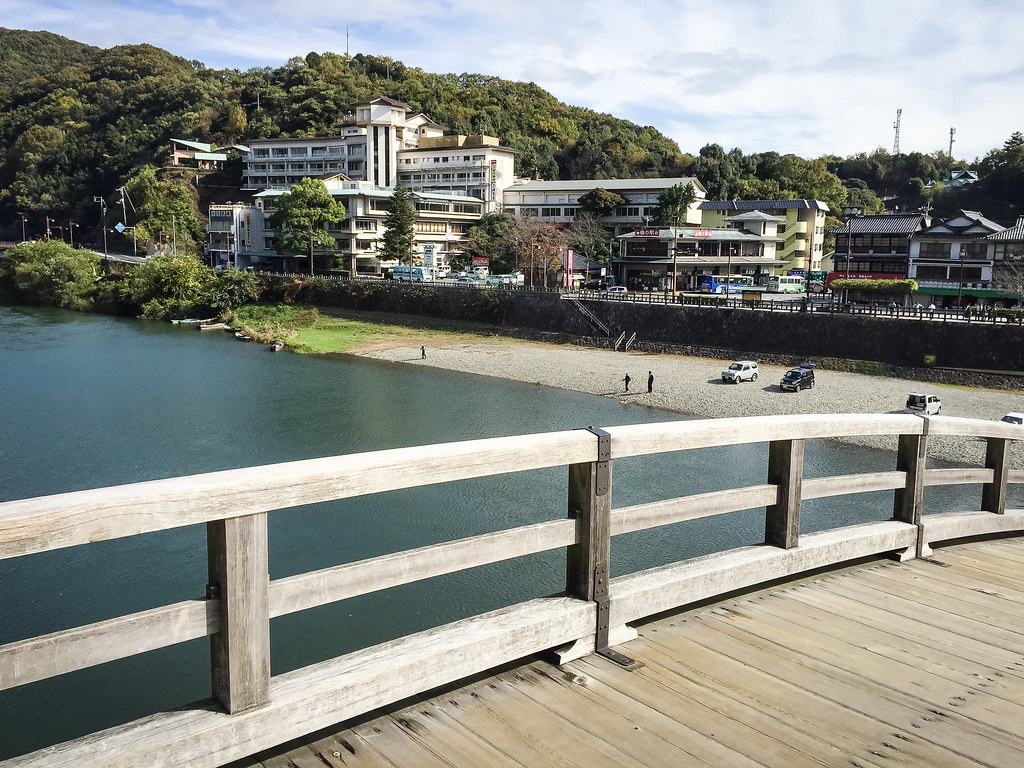
View of Iwakuni Kokusai Kanko Hotel from Kintai-kyo Bridge
looking for great view
View from Kintai-kyo Bridge
Dusk #kintaikyo #fireworkfestival #gethiroshima
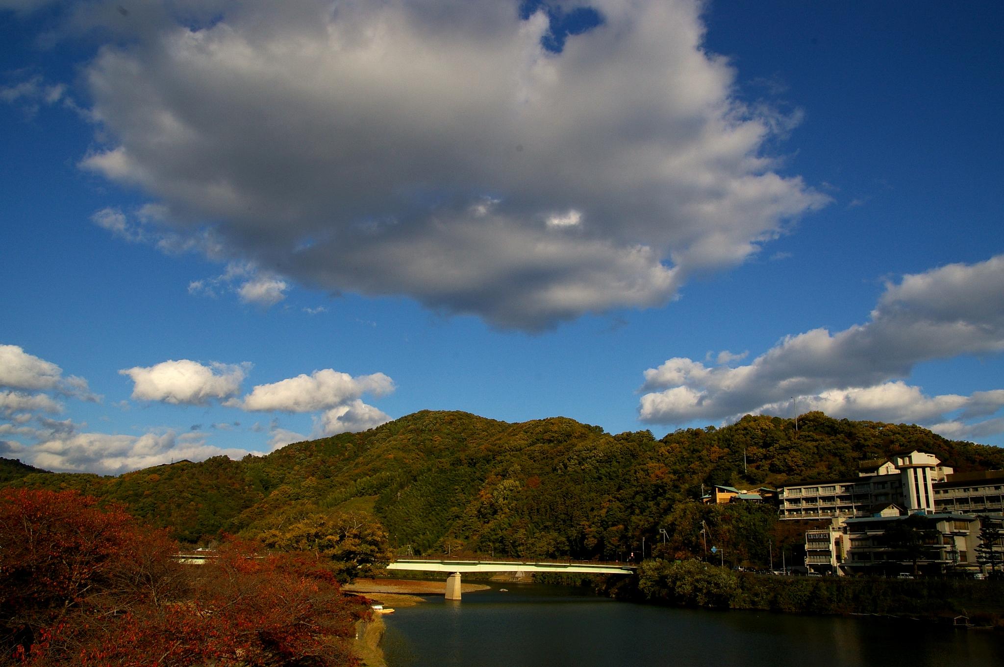
Japan, Iwakuni
Japan, Iwakuni
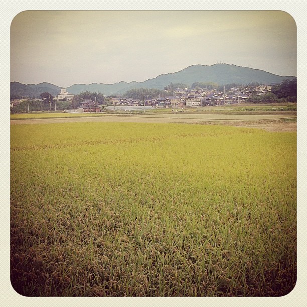
おこめ / paddy fields
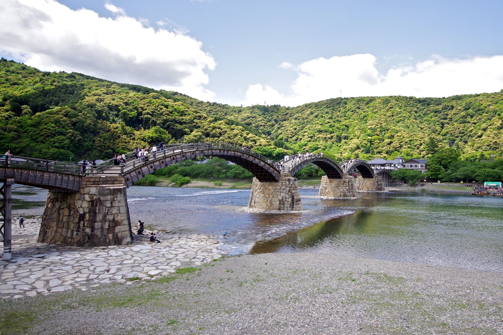
Ancient arched bridge
Kintaikyo-錦帯橋
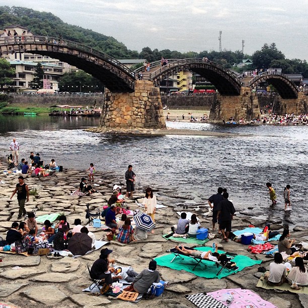
Famous humps of Kintaikyo bridge, Iwakuni
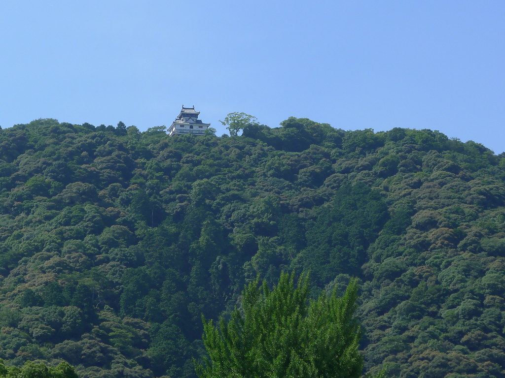
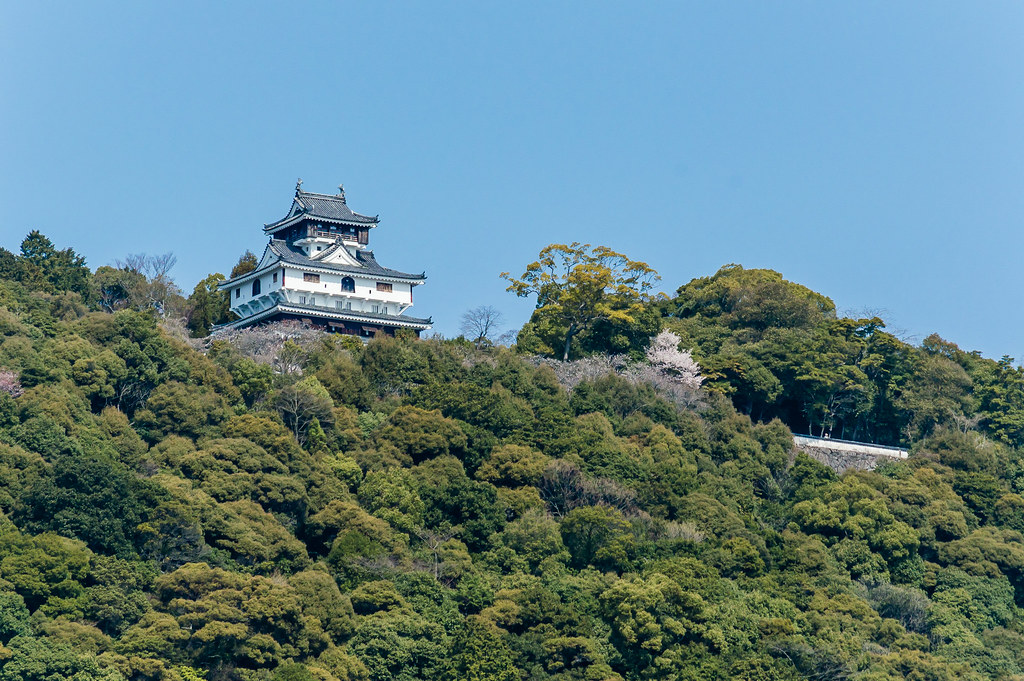
Iwakuni Castle (岩国城)
Light Beams Above Iwakuni
Japan, Iwakuni

1120-151739-tommy
1120-133221-rafael
_DSC1500.jpg
1120-151739-tommy
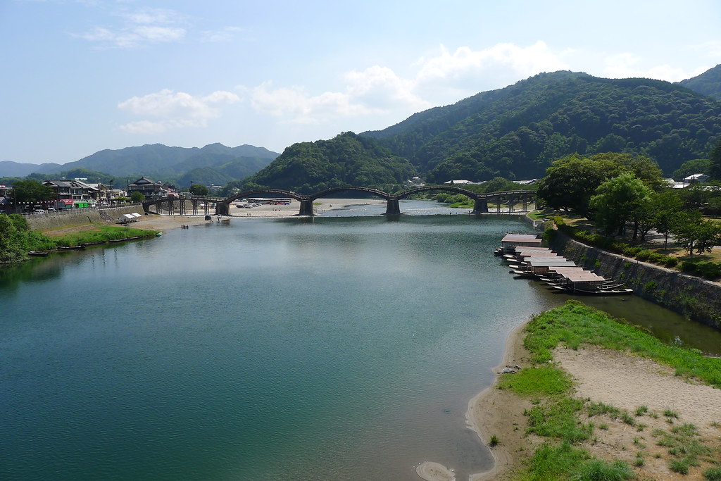
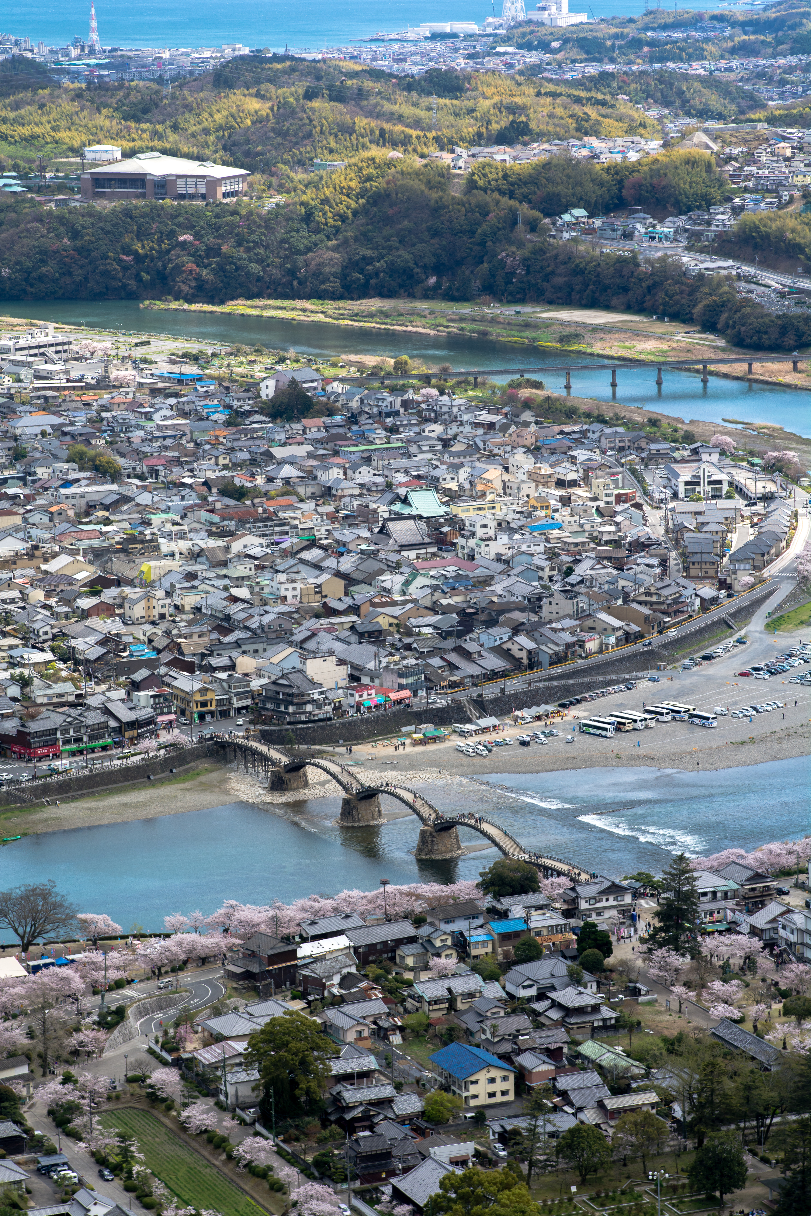
Nishiki river and Kintai bridge (錦川と錦帯橋)

Moonrise at sunset.

Fall.

Jupiter Sky.
Sky and clouds.

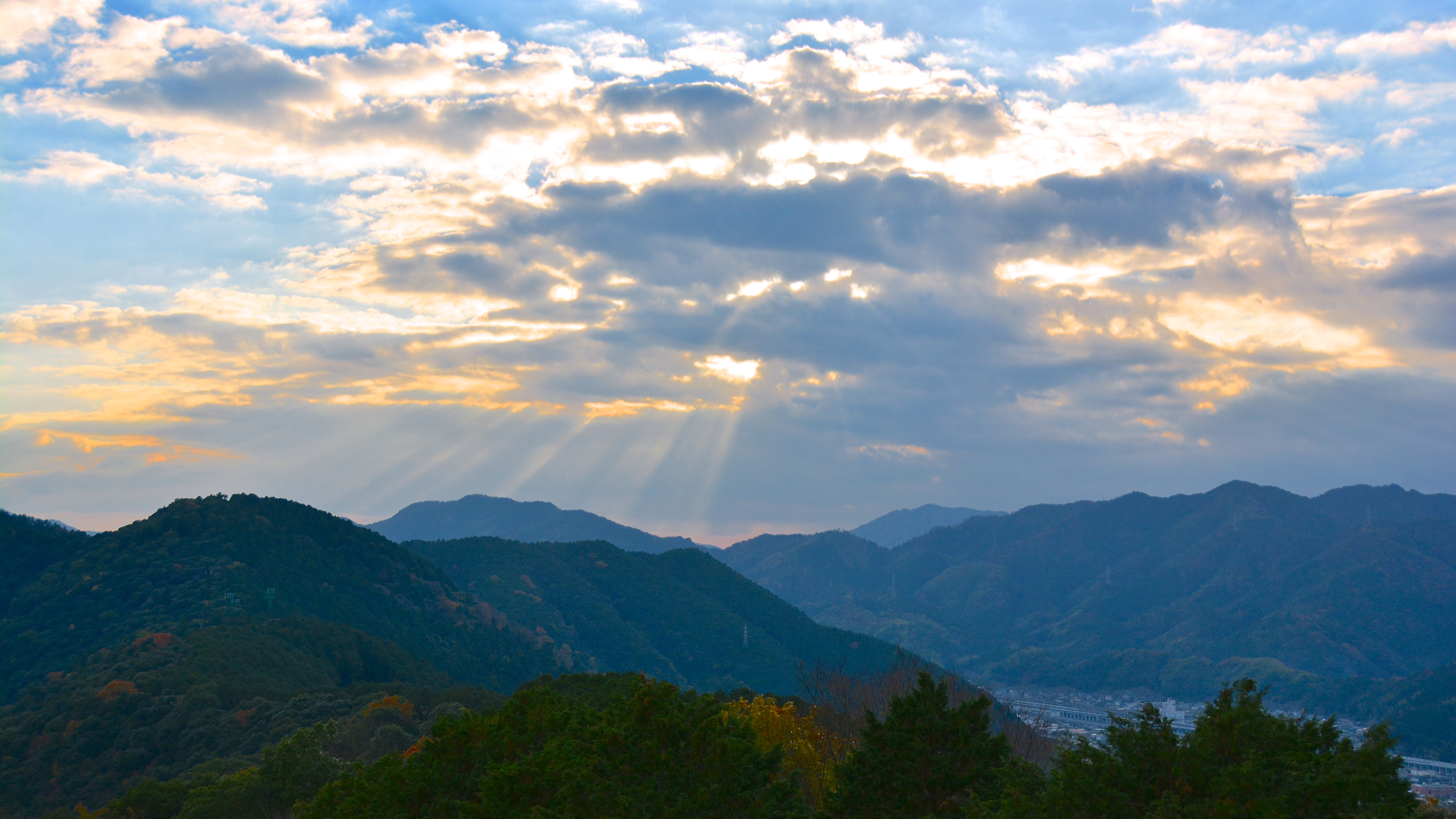
Storm front.

After the rain
Topographic Map of -6 Kugamachi, Iwakuni-shi, Yamaguchi-ken -, Japan
Find elevation by address:

Places near -6 Kugamachi, Iwakuni-shi, Yamaguchi-ken -, Japan:
Kugamachi, Iwakuni-shi, Yamaguchi-ken -, Japan
Shūtōmachi Kamikubara, Iwakuni-shi, Yamaguchi-ken -, Japan
-7 Shūtōmachi Shimokubara, Iwakuni-shi, Yamaguchi-ken -, Japan
Shūtōmachi Kamikubara, Iwakuni-shi, Yamaguchi-ken -, Japan
Shūtōmachi Shimokubara, Iwakuni-shi, Yamaguchi-ken -, Japan
Shūtōmachi Sasugawa, Iwakuni-shi, Yamaguchi-ken -, Japan
Shūtōmachi Shimosudōri, Iwakuni-shi, Yamaguchi-ken -, Japan
Shūtōmachi Nishinagano, Iwakuni-shi, Yamaguchi-ken -, Japan
3-5 Higashidote, Yanai-shi, Yamaguchi-ken -, Japan
Yanai
Tabuse
-92 Yanai, Yanai-shi, Yamaguchi-ken -, Japan
Hirao
-1 Kōjiro, Yanai-shi, Yamaguchi-ken -, Japan
Kumage District
Ogōoku, Tabuse-chō, Kumage-gun, Yamaguchi-ken -, Japan
Kasasajima, Suōōshima-chō, Ōshima-gun, Yamaguchi-ken -, Japan
Nakazuminami, Shūnan-shi, Yamaguchi-ken -, Japan
Komatsukaisaku, Suōōshima-chō, Ōshima-gun, Yamaguchi-ken -, Japan
6 Chome-32-29 Chūō, Hikari-shi, Yamaguchi-ken -, Japan
Recent Searches:
- Elevation map of Greenland, Greenland
- Elevation of Sullivan Hill, New York, New York, 10002, USA
- Elevation of Morehead Road, Withrow Downs, Charlotte, Mecklenburg County, North Carolina, 28262, USA
- Elevation of 2800, Morehead Road, Withrow Downs, Charlotte, Mecklenburg County, North Carolina, 28262, USA
- Elevation of Yangbi Yi Autonomous County, Yunnan, China
- Elevation of Pingpo, Yangbi Yi Autonomous County, Yunnan, China
- Elevation of Mount Malong, Pingpo, Yangbi Yi Autonomous County, Yunnan, China
- Elevation map of Yongping County, Yunnan, China
- Elevation of North 8th Street, Palatka, Putnam County, Florida, 32177, USA
- Elevation of 107, Big Apple Road, East Palatka, Putnam County, Florida, 32131, USA
- Elevation of Jiezi, Chongzhou City, Sichuan, China
- Elevation of Chongzhou City, Sichuan, China
- Elevation of Huaiyuan, Chongzhou City, Sichuan, China
- Elevation of Qingxia, Chengdu, Sichuan, China
- Elevation of Corso Fratelli Cairoli, 35, Macerata MC, Italy
- Elevation of Tallevast Rd, Sarasota, FL, USA
- Elevation of 4th St E, Sonoma, CA, USA
- Elevation of Black Hollow Rd, Pennsdale, PA, USA
- Elevation of Oakland Ave, Williamsport, PA, USA
- Elevation of Pedrógão Grande, Portugal