Elevation of 中興里
Location: Taiwan > Kaohsiung City > Qijin District >
Longitude: 116.843914
Latitude: 20.7005686
Elevation: -34m / -112feet
Barometric Pressure: 102KPa
Elevation Map:
Satellite Map:
Related Photos:
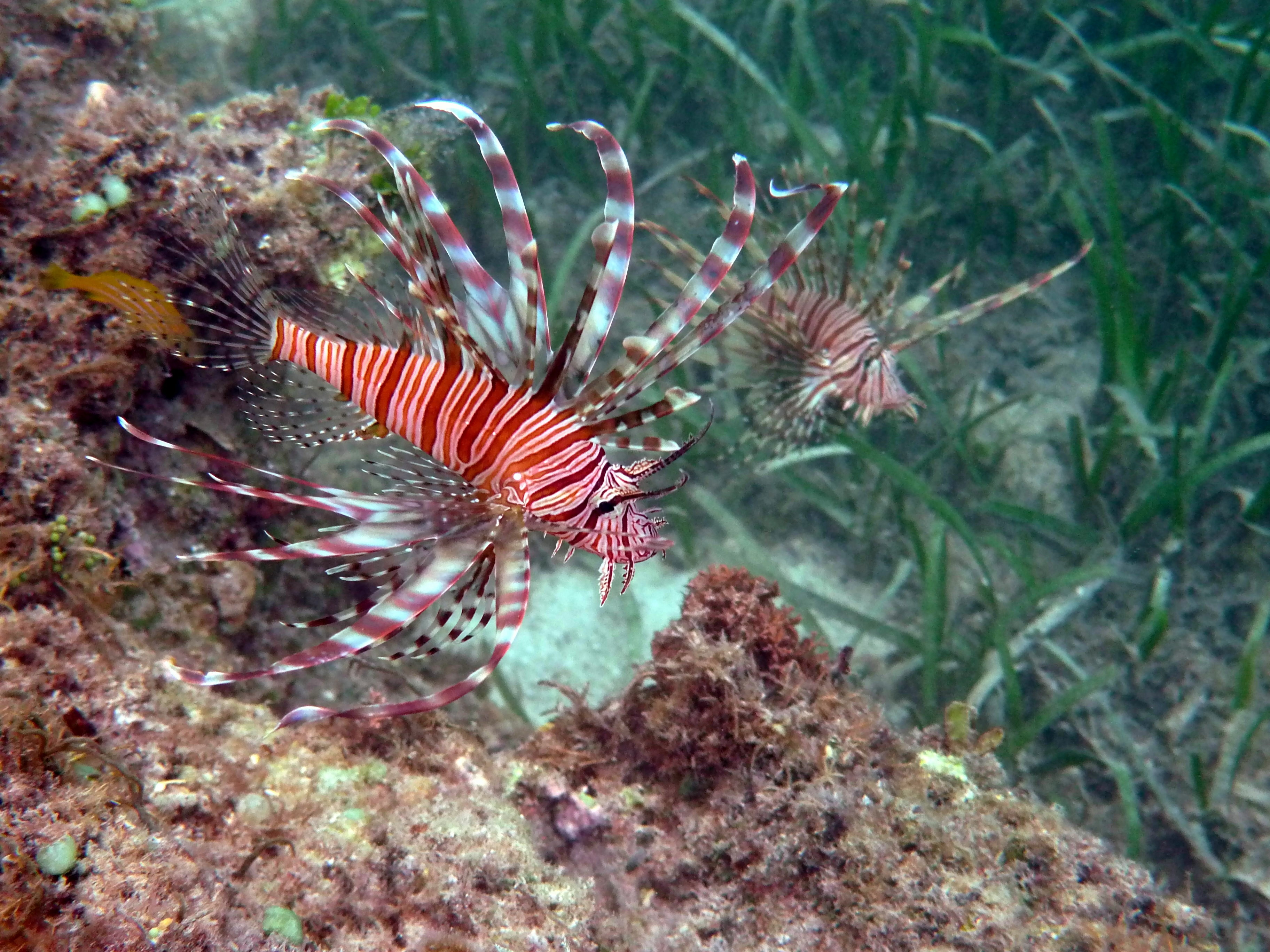
Dongsha Atoll National Park 東沙環礁國家公園
Dongsha Atoll National Park 東沙環礁國家公園 - 夏天之南潟湖
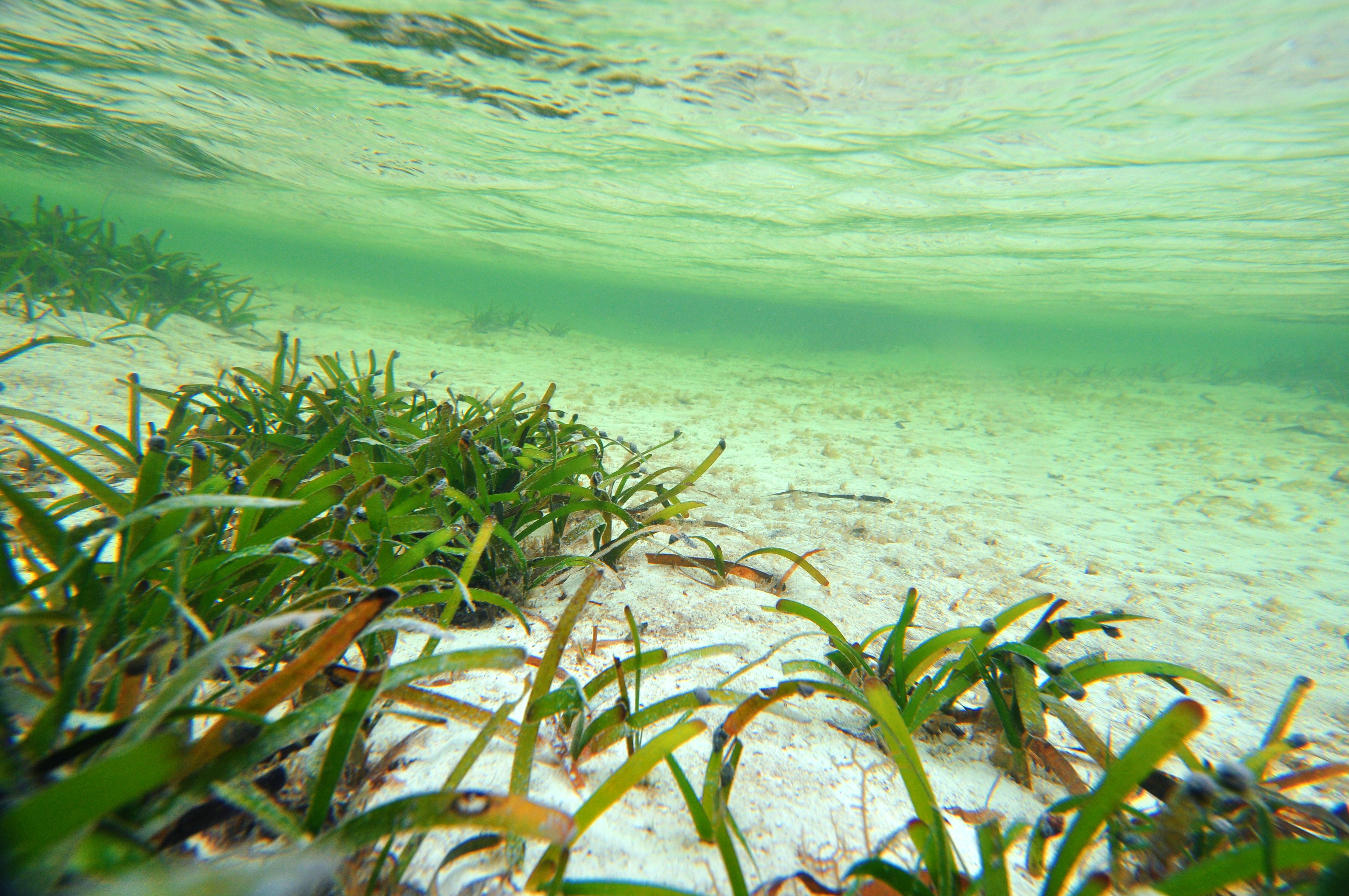
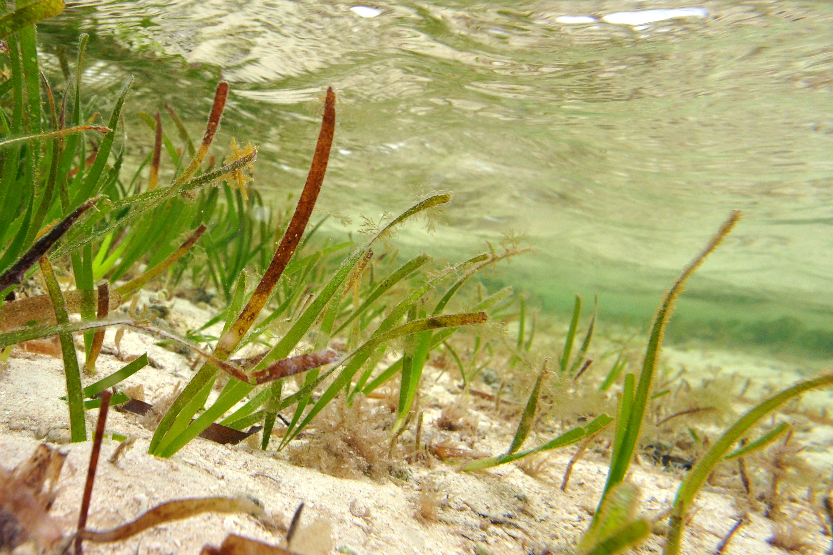
Dongsha Atoll National Park 東沙環礁國家公園 - 沙質潮間帶
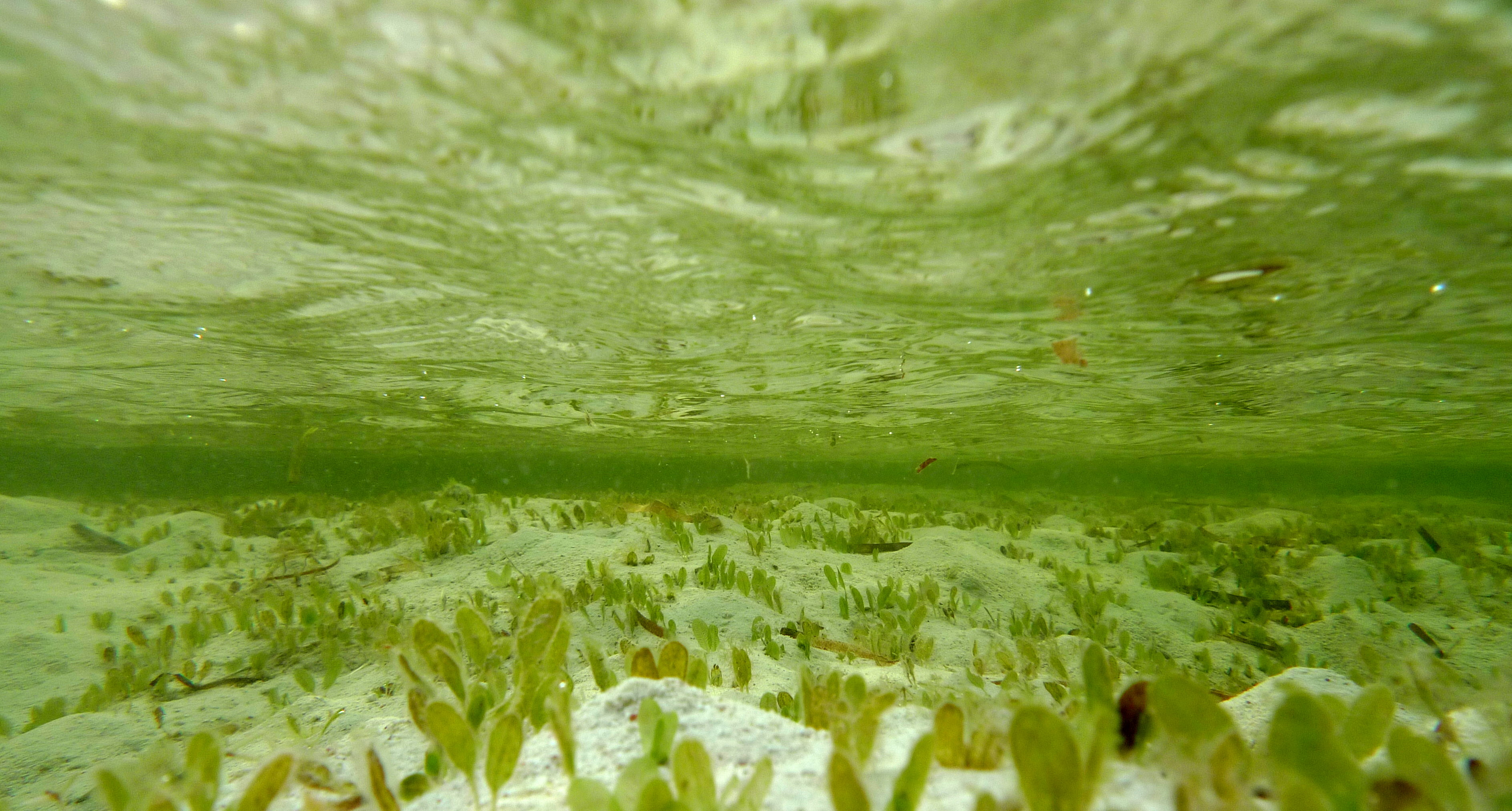
Dongsha Atoll National Park 東沙環礁國家公園 - 夏天之島內潟湖
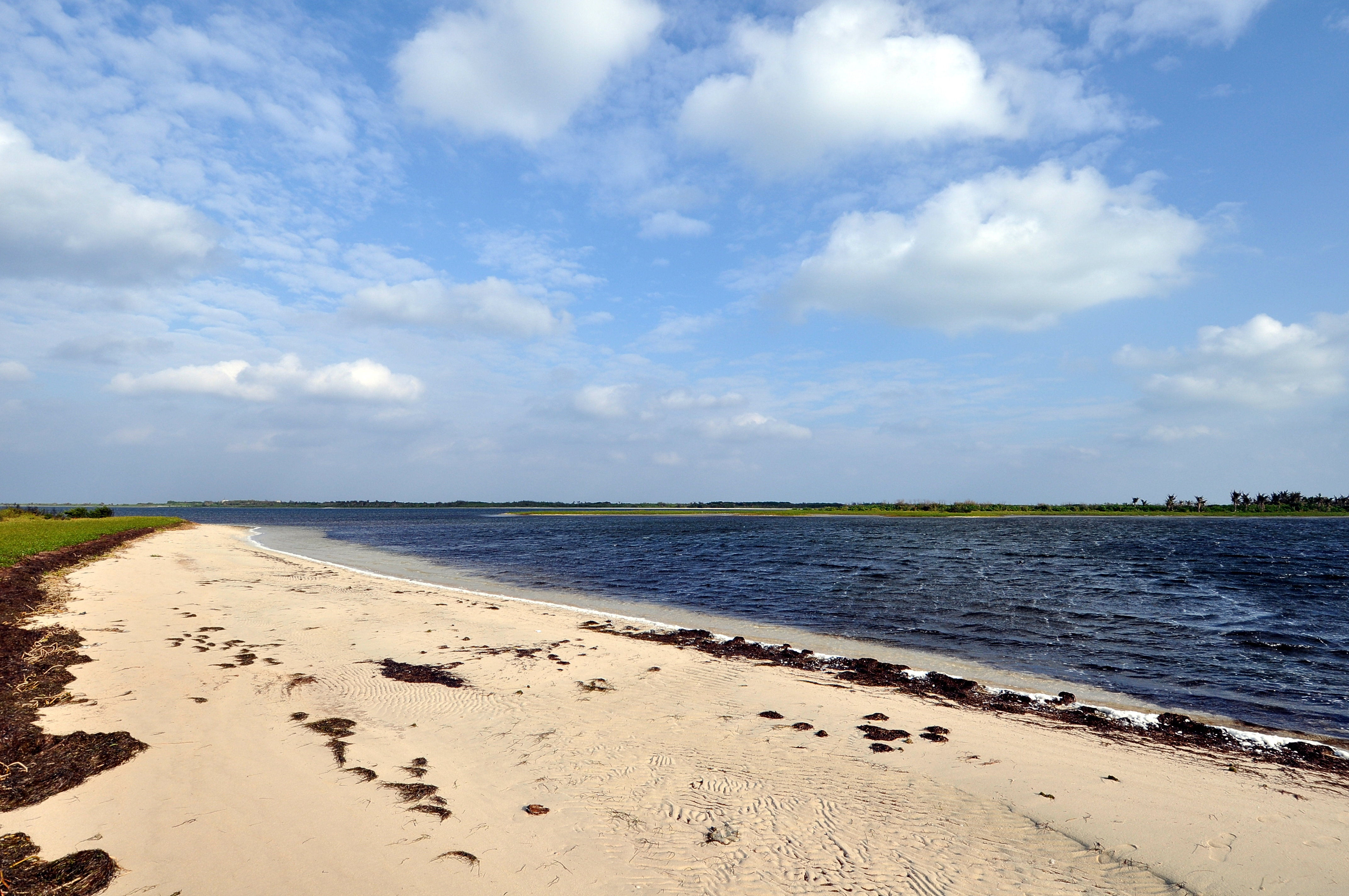
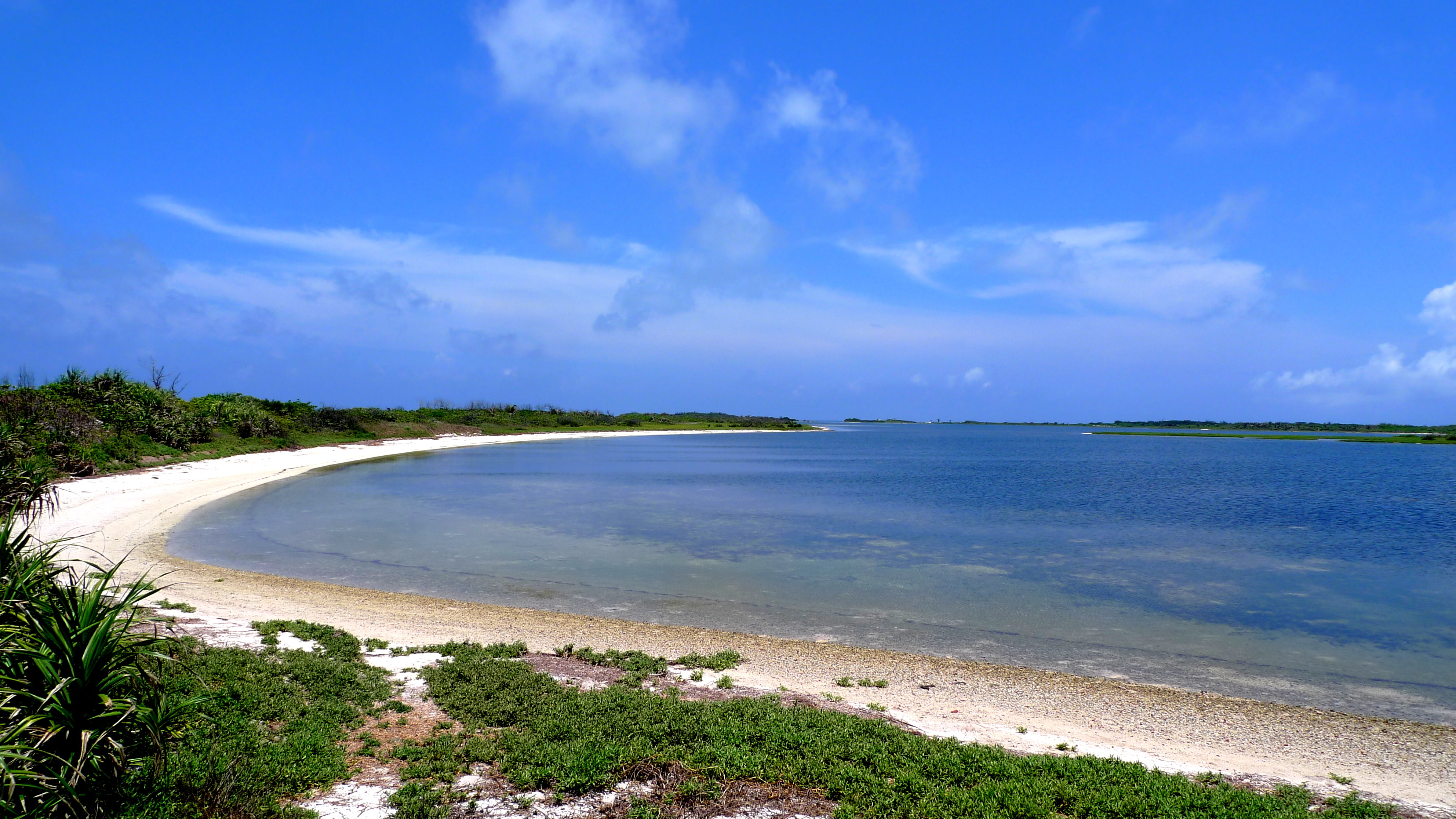
Dongsha Atoll National Park 東沙環礁國家公園 - 潟湖南岸
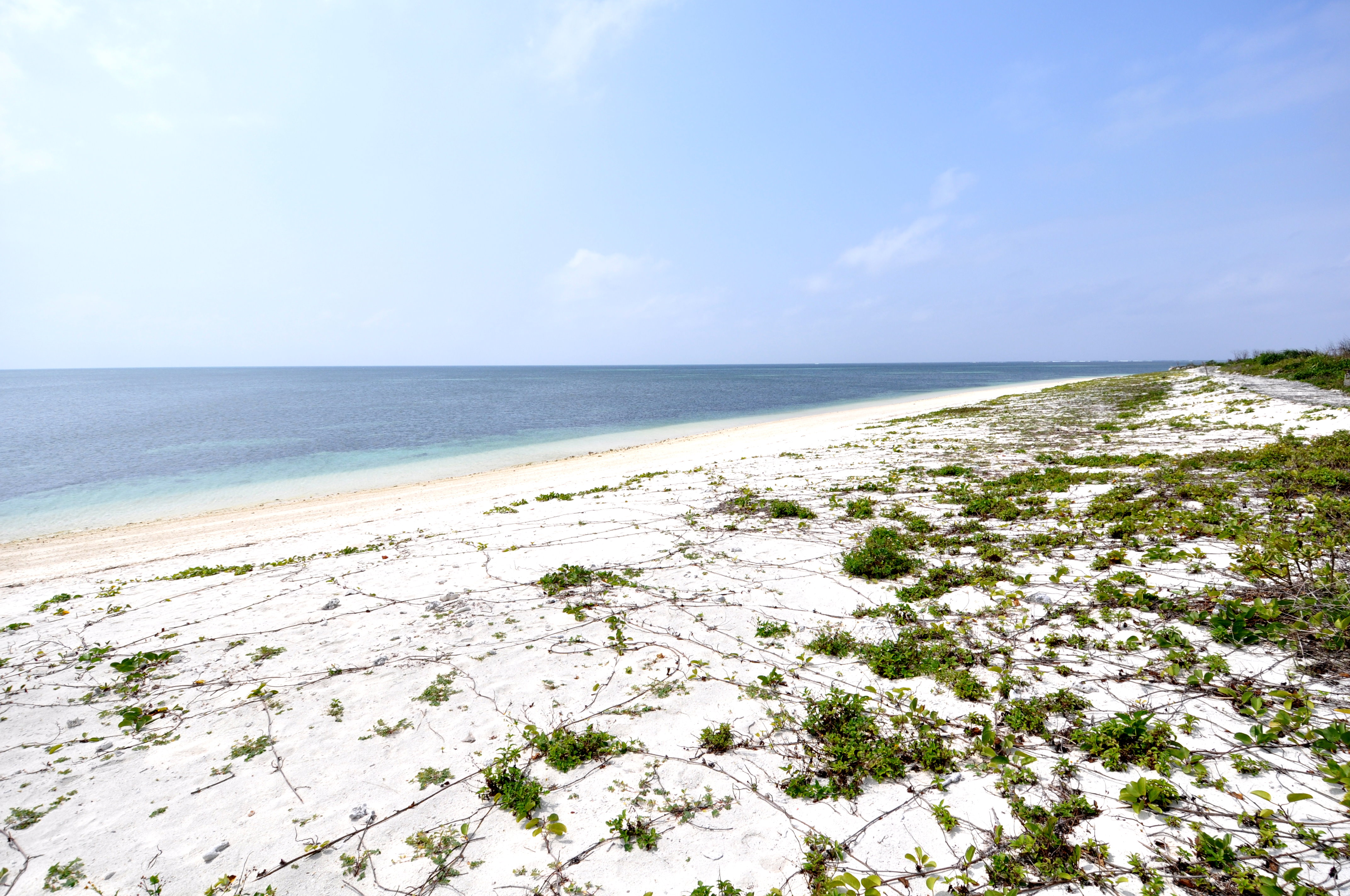
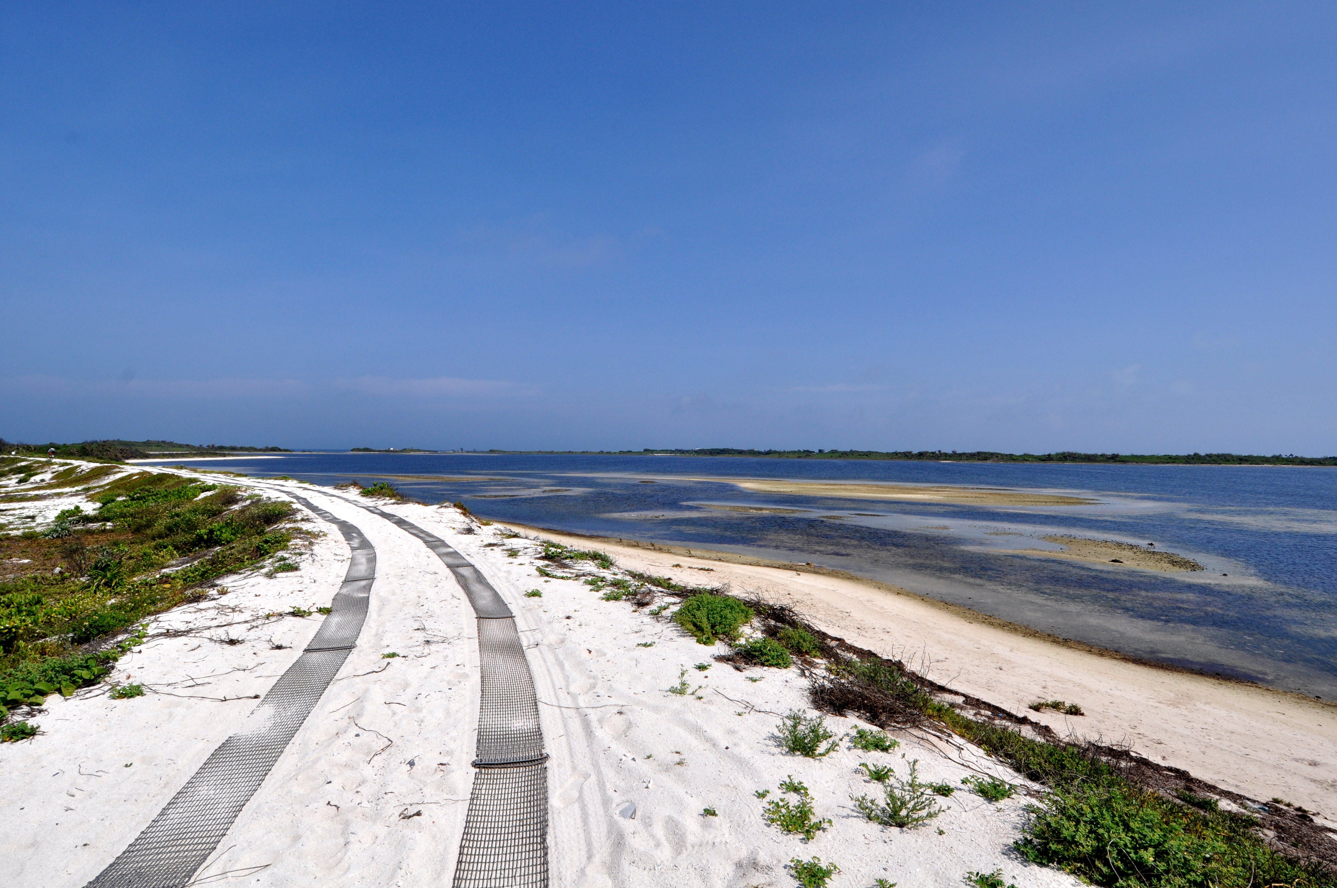
Dongsha Atoll National Park 東沙環礁國家公園 - 島南岸海灘
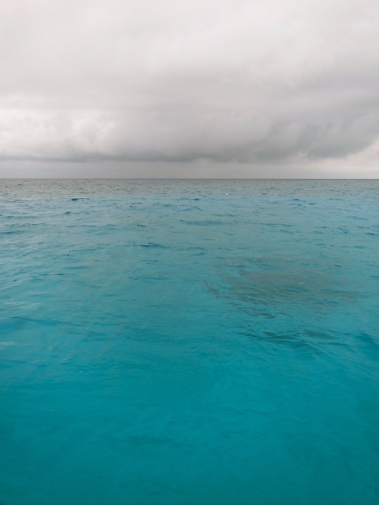
Mes ... le temps se brouille...
Dongsha Atoll National Park 東沙環礁國家公園

20110310_010 台灣單帶弄蝶
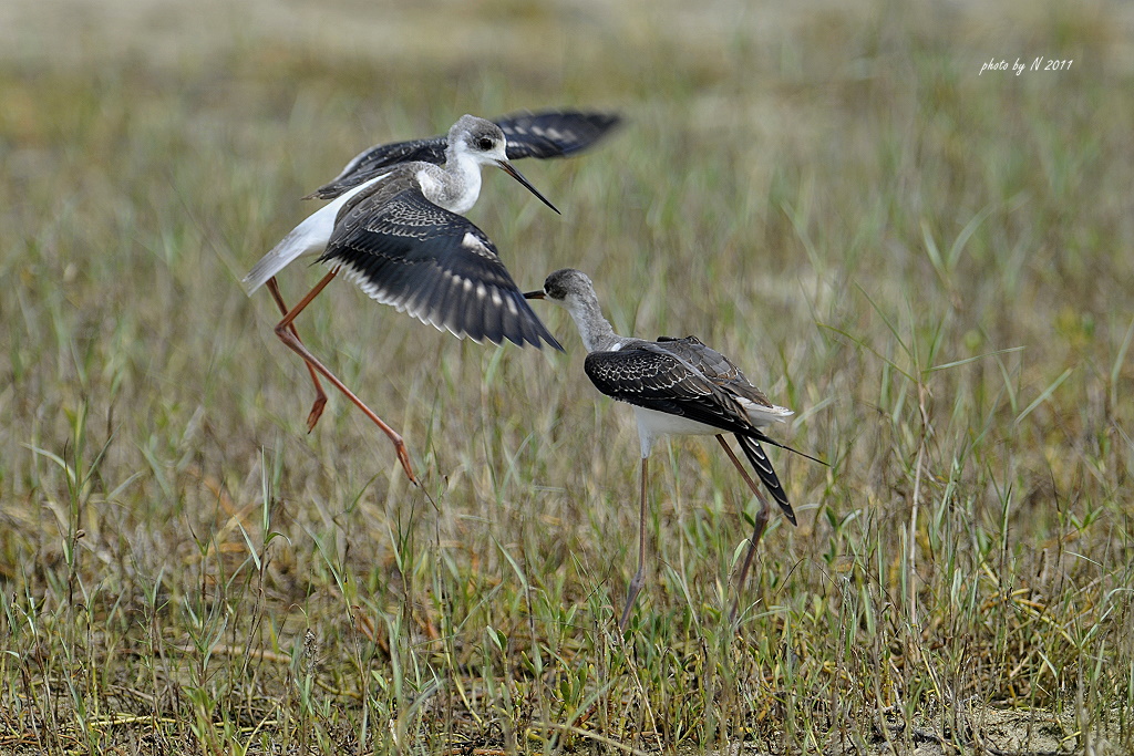
高蹺鴴
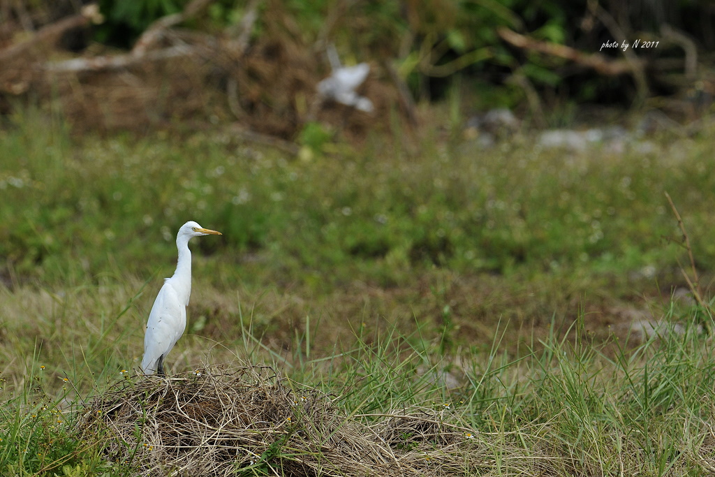
黃頭鷺

幻紫斑蝶-海南亞種
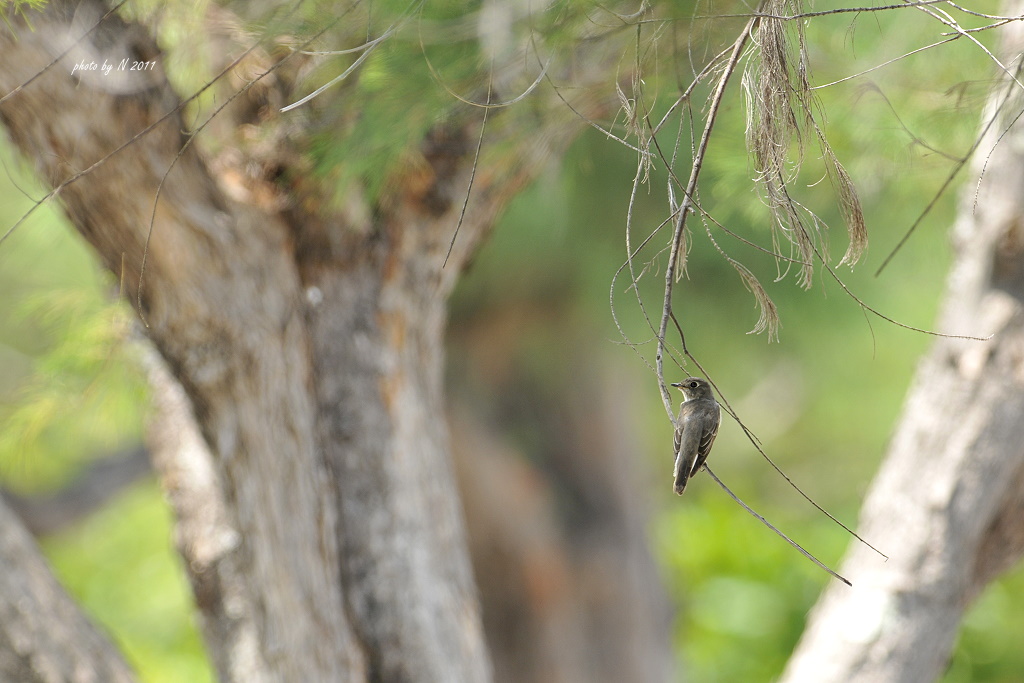
寬嘴鶲

蔡蔡的烏鶲

琉球紫蛺蝶
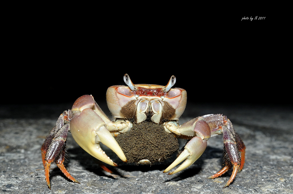
凶狠圓軸蟹抱卵
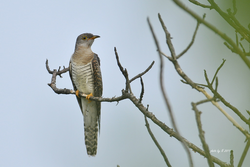
四聲杜鵑
Dongsha Atoll National Park 東沙環礁國家公園 - 浮動碼頭

20110315_044 琉球紫蛺蝶

20110315_043 水青粉蝶

20110315_035 大透翅天蛾
Topographic Map of 中興里
Find elevation by address:

Places in 中興里:
Recent Searches:
- Elevation of Corso Fratelli Cairoli, 35, Macerata MC, Italy
- Elevation of Tallevast Rd, Sarasota, FL, USA
- Elevation of 4th St E, Sonoma, CA, USA
- Elevation of Black Hollow Rd, Pennsdale, PA, USA
- Elevation of Oakland Ave, Williamsport, PA, USA
- Elevation of Pedrógão Grande, Portugal
- Elevation of Klee Dr, Martinsburg, WV, USA
- Elevation of Via Roma, Pieranica CR, Italy
- Elevation of Tavkvetili Mountain, Georgia
- Elevation of Hartfords Bluff Cir, Mt Pleasant, SC, USA