Elevation of 9 Stowe Ct, Ledgewood, NJ, USA
Location: United States > New Jersey > Morris County > Roxbury Township > Ledgewood >

Longitude: -74.678692

Latitude: 40.8815914

Elevation: 347m / 1138feet

Barometric Pressure: 97KPa

Elevation Map:

elevation map of 9 Stowe Ct, Ledgewood, NJ, USA
Satellite Map:

Satellite map of 9 Stowe Ct, Ledgewood, NJ, USA
Related Photos:

lines square pattern curves lightfixture
Look Up!
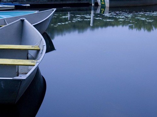
longexposure camp lake reflection water boats singing listeningto nj skills boyscouts lilypads stories fires jossstone mosquitoes allamuchy millipedes mightaswell mindbodysoul muscanetcong thepersuasions singthegratefuldead
bow to the calm
0543 canong10 jpeg allamuchynewjersey wow gorgeous
ATMOSPHERE IS HERE
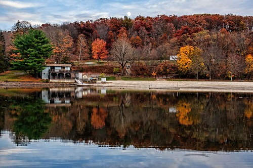
trees moon lake building fall beach water clouds reflections landscape moonrise autumncolor sunriselake colorefex graduatedneutraldensity tonalcontrast procontrast nikviveza topazadjust viewnx2
Moonrise at Sunrise Lake
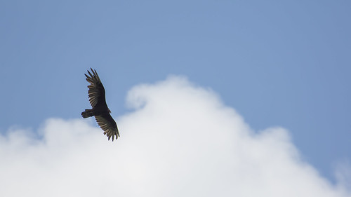
newjersey nj vulture soaring allamuchy turkeyvulture scenicoverlook thermalling i80eastscenicoverlook
Wingspans and Clouds
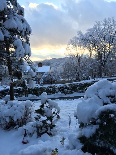
Happy Snowsgiving!
sky mountains clouds rural landscape newjersey spring lowlight dusk hiking farmland hills valley creativecommons audubonsociety cirrus appalachianmountains warrencounty independencetownship newjerseyaudubonsociety oldfarmsanctuary
Old Farm Sanctuary (4)
portrait sky field clouds canon nj 7d longvalley morriscounty sigma30mmf14 strobist 580exii
Wild Hair, Wild Grass
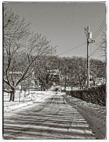
road park street trees winter blackandwhite snow shadows grain pole wires hedge brundage ononesoftware sigma1770os perfecteffects8
Leaving Brundage Park
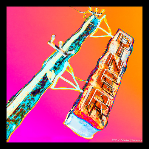
toms tomsdiner diner newjersey ledgewood rt46 circle closed sign neon wavy difference orange pink tones gradiant psychedelic hot hotpink dutchangle
Tom's Diner - Ledgewood, New Jersey
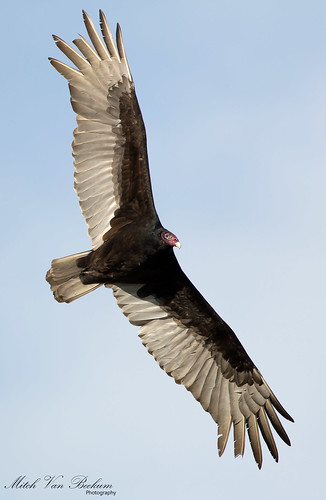
turkey flying inflight vulture buzzard birdinflight cathartesaura turkeybuzzard turkeyvultureinflight thewonderfulworldofbirds canon5dmkiii canonef500mmf4is canon14teleconvertermkiii
I Despise You! (Turkey Vulture)
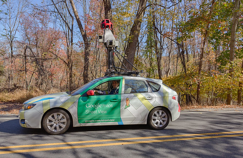
usa newjersey googlemaps unitedstates maps andover streetview geolocation googlestreetviewcar
Google Street View
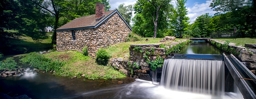
Cooper Mill - revisited
OLD&BOLD
color newjersey spring pano farmland delawarewatergap warrencounty kittatinyridge yardscreekpumpingstation
New Jersey Farmland from Rt 80
kh0831 hacklebarney nj
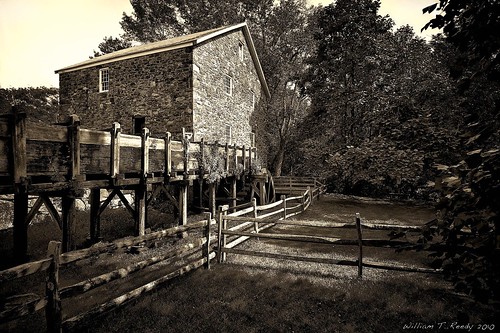
Bill on Black
abandoned ruins decayed
Mill and Run-off
field clouds canon nj birdhouse 7d hdr longvalley morriscounty
House with a Wonderful View
sky mountains rural landscape newjersey spring hiking farmland hills valley creativecommons cloudless audubonsociety appalachianmountains warrencounty independencetownship newjerseyaudubonsociety oldfarmsanctuary
Old Farm Sanctuary (3)
urban abandoned hospital newjersey rust bokeh decay exploring nj security urbanexploration mold grime tunnels peelingpaint breeze decayed woodfloors greystone urbanexploring mildew urbex sneak collapsedroof prickerbushes greystoneparkpsychiatrichospital greystonehospital guerillahistorian lacerationstotheface
viewing party.
panorama canal lock nj tiltshift morriscanal musconetcong blacksmithshop waterloovillage d700 guardlock nikon24mmf35pcetiltshift
Canal Lock PANO re-worked
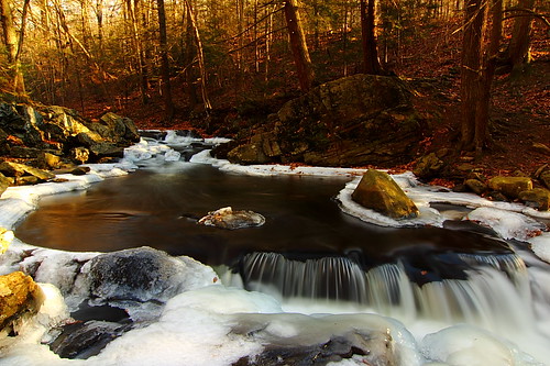
nature water canon landscape newjersey ngc nj parks tokina rapid 1224mm naturesfinest coth bej 60d mywinners rubyphotographer
Winter Rapid, Hacklebarney State Park, NJ
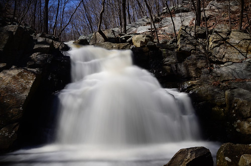
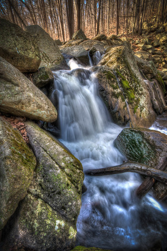
park new longexposure nature water digital creek river season landscape geotagged waterfall newjersey spring nikon rocks nj rocky hike boulders trail jersey geotag 18200 density longvalley neutral 18200mm neutraldensity 18200mmvr nd110 schooleysmountain d7000 nikond7000
Schooley's Mountain Falls
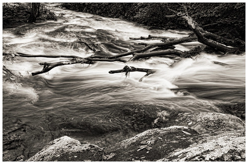
longexposure trees bw water river landscape blackwhite movement rocks nj sigma chester blackriver rise 1020mm d300 warrenhaynes coopermill robertcatalano
River's Gonna Rise
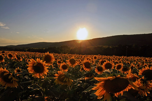
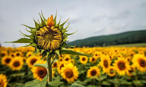
sunflowers landscape macro
Sunflower Sunset
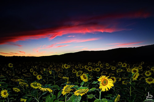
sunset red sky colors sunflower fusion onone hackettstown
Red Sky at Night, Sunflower Delight
jpeg 0542 canong10 bestofshining kurtpeiserexcellence allamuchynewjersey
GREEN GOLD
sun water newjersey nj swamp
Happy New Day
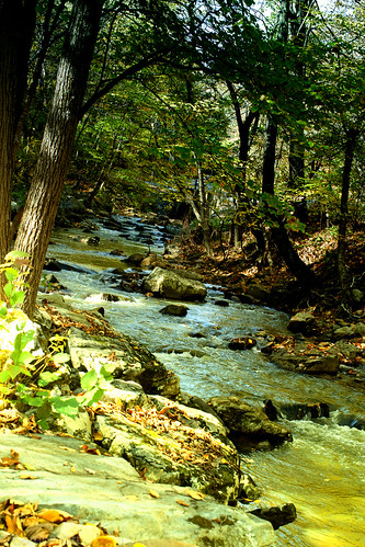
Along the Trout Stream
noflash hipstamatic pistilfilm libatique73lens
Summer in the woods
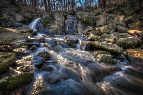
park longexposure nature water rock nikon stream waterfalls hdr d90
Hacklebarney State Park
flower field birds yellow rural canon landscape eos newjersey flora farm country scenic nj seed sunflowers 7d bloom feed hackettstown blackoil audobonsociety donaldsonfarms canon7d don3rdse september2013 3rdsiblingphotography allenroadfarmmarket saveprogram
A Late Bloomer - Black Oil Sunflower
trees winter blackandwhite house snow grass clouds landscape newjersey pond hill pse9 tamron28300xrdiif
B & W Local
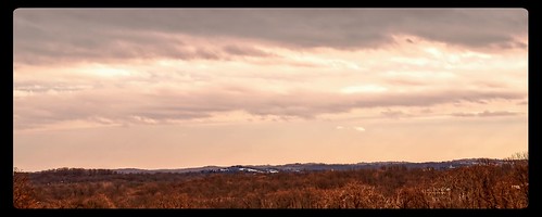
trees red sky panorama clouds landscape cloudy curves border crop nik colorefex niksoftware tonalcontrast viveza sigma1770os perfecteffects8
Red Rug
park longexposure nature water rock nikon stream waterfalls hdr d90
Hacklebarney State Park
Waterfall, Hacklebarney State Park, NJ
fog landscape distressed iphone truehdr iphoneroid iphoneography snapseed filtertorm
Death on a Farm
park longexposure nature water rock nikon stream waterfalls hdr d90 photocontesttnc11
Hacklebarney State Park
Waterloo Quarry Sunset
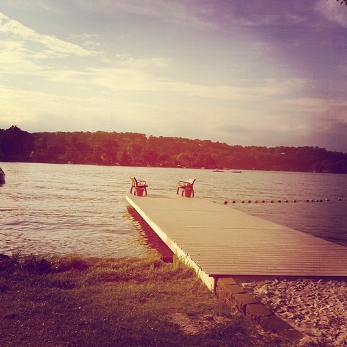
square toaster squareformat iphoneography instagramapp uploaded:by=instagram
At the lake in SPARTA!
Post storm cleanup still in process