Elevation of 9, Leitersburg, MD, USA
Location: United States > Maryland > Washington County >
Longitude: -77.642157
Latitude: 39.69841
Elevation: 181m / 594feet
Barometric Pressure: 99KPa
Elevation Map:
Satellite Map:
Related Photos:
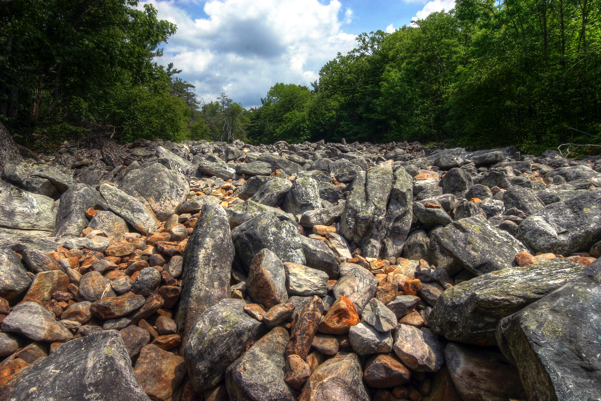
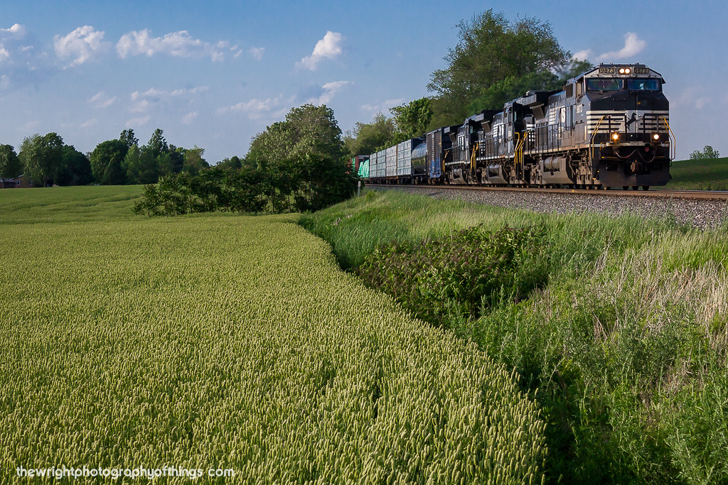
Devil's Race Course
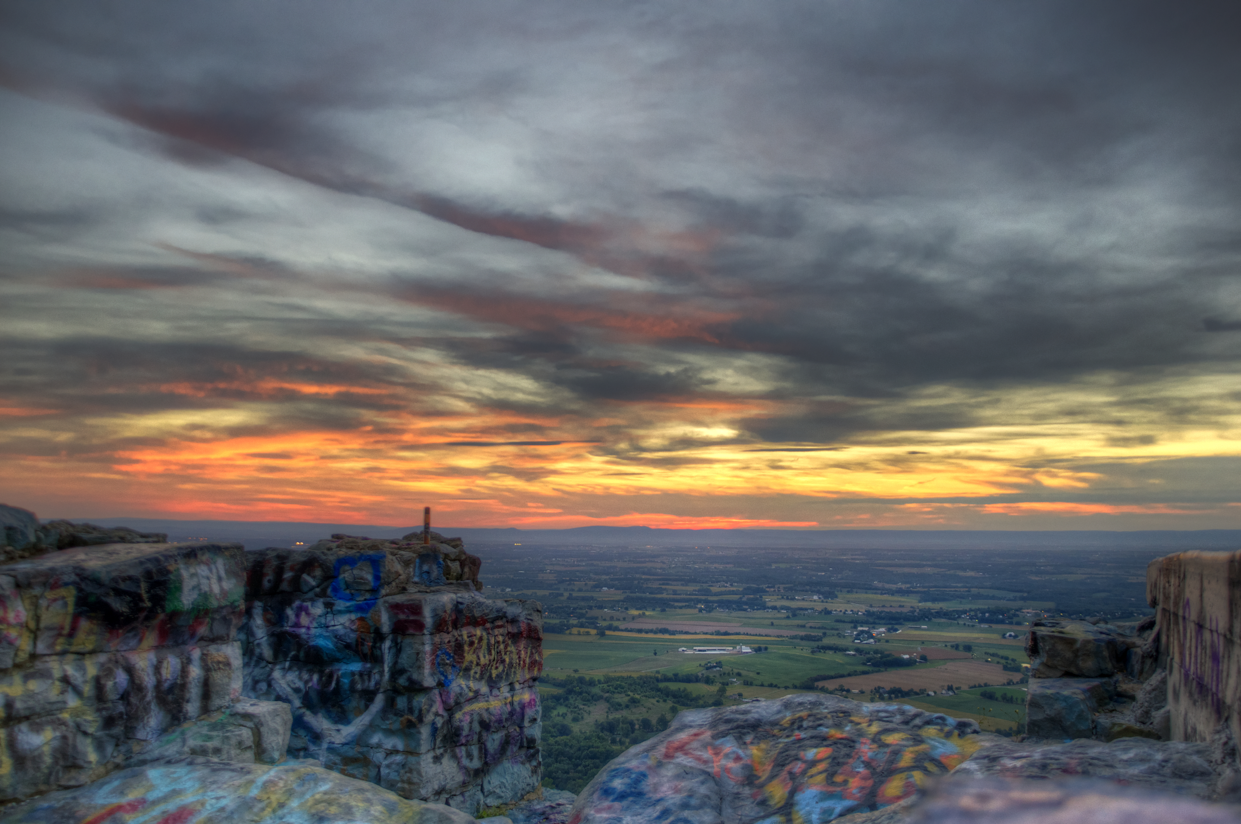
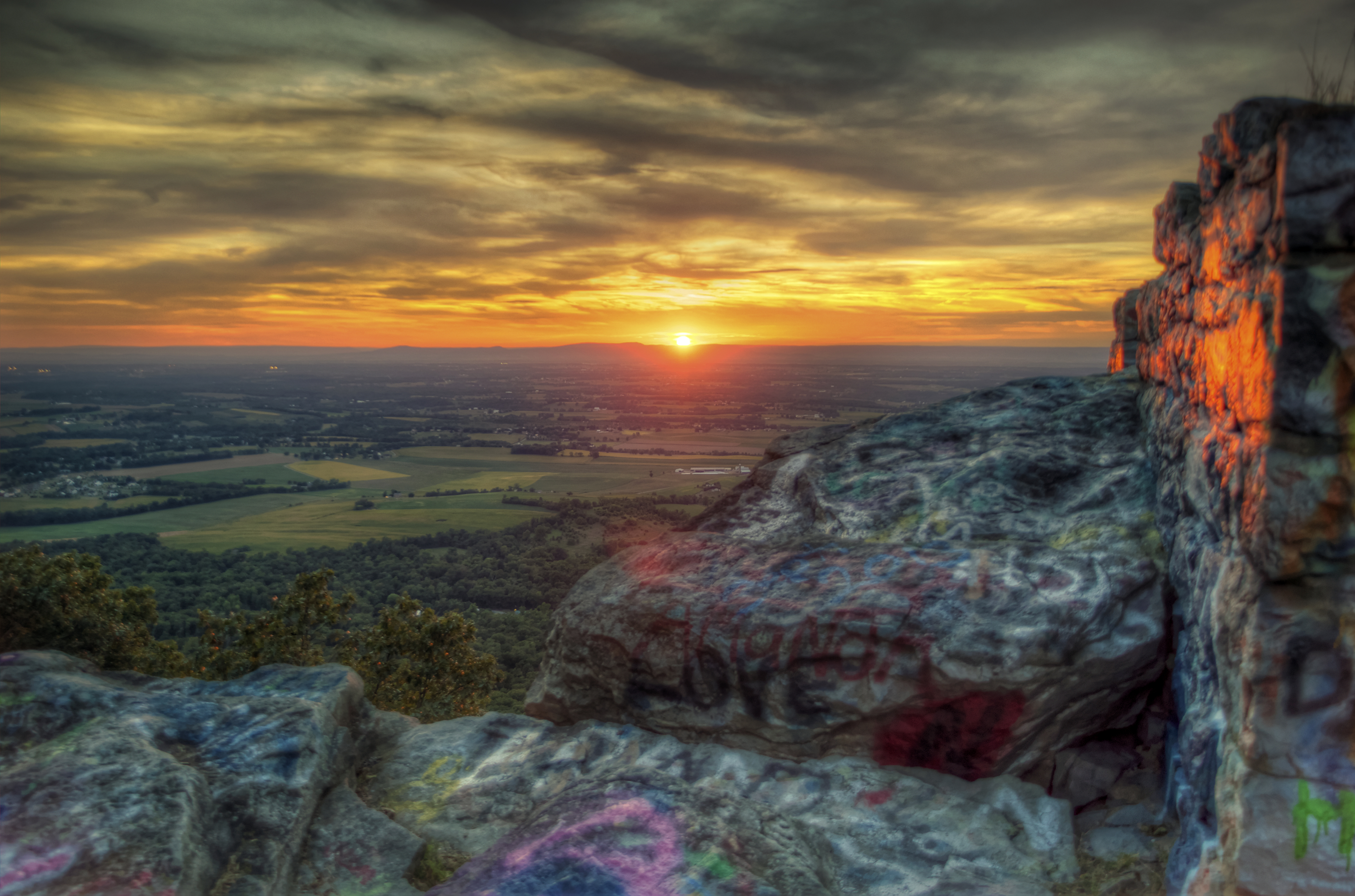
Graffiti Sunset
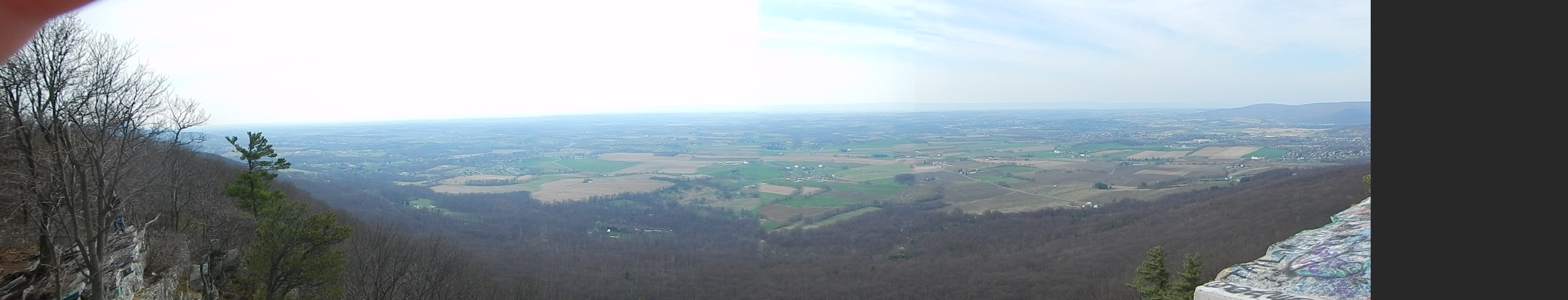
High Rock
Pennsylvania and West Virginia
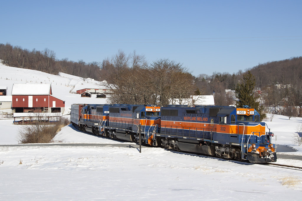
MMID 302 on HFUB, Sabillasville, MD
Day 4

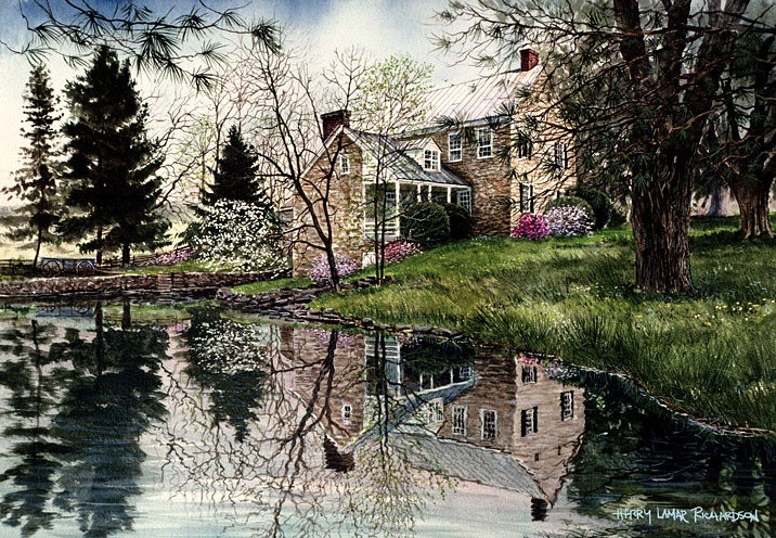
Model on stone wall at Renfrew Park and Museum, Waynesboro, PA
View from High Rocks
CCLO_2015-02-01_ChewsvilleRd_0212C

Picnic Friday #2

DSCN0225 53 POI view

Appalachian Trail in Maryland

DSCN0175 33 View S

The Appalachian Trail in Maryland

Appalachian Trail - Black Rock (Maryland) Sunset
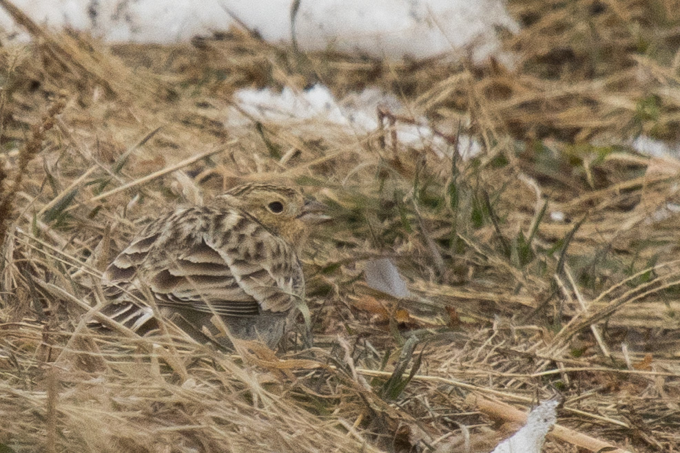
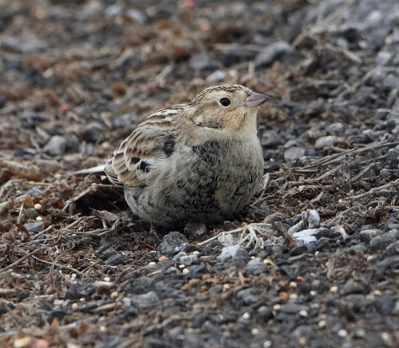
Chestnut-collared Longspur

DSCN0216 46 View 220-340deg
I was bored....
DSCN0217 46 View 220-340deg

Appalachian Trail - Black Rock (Maryland) Sunset

Buchanan Corvette Show 2014
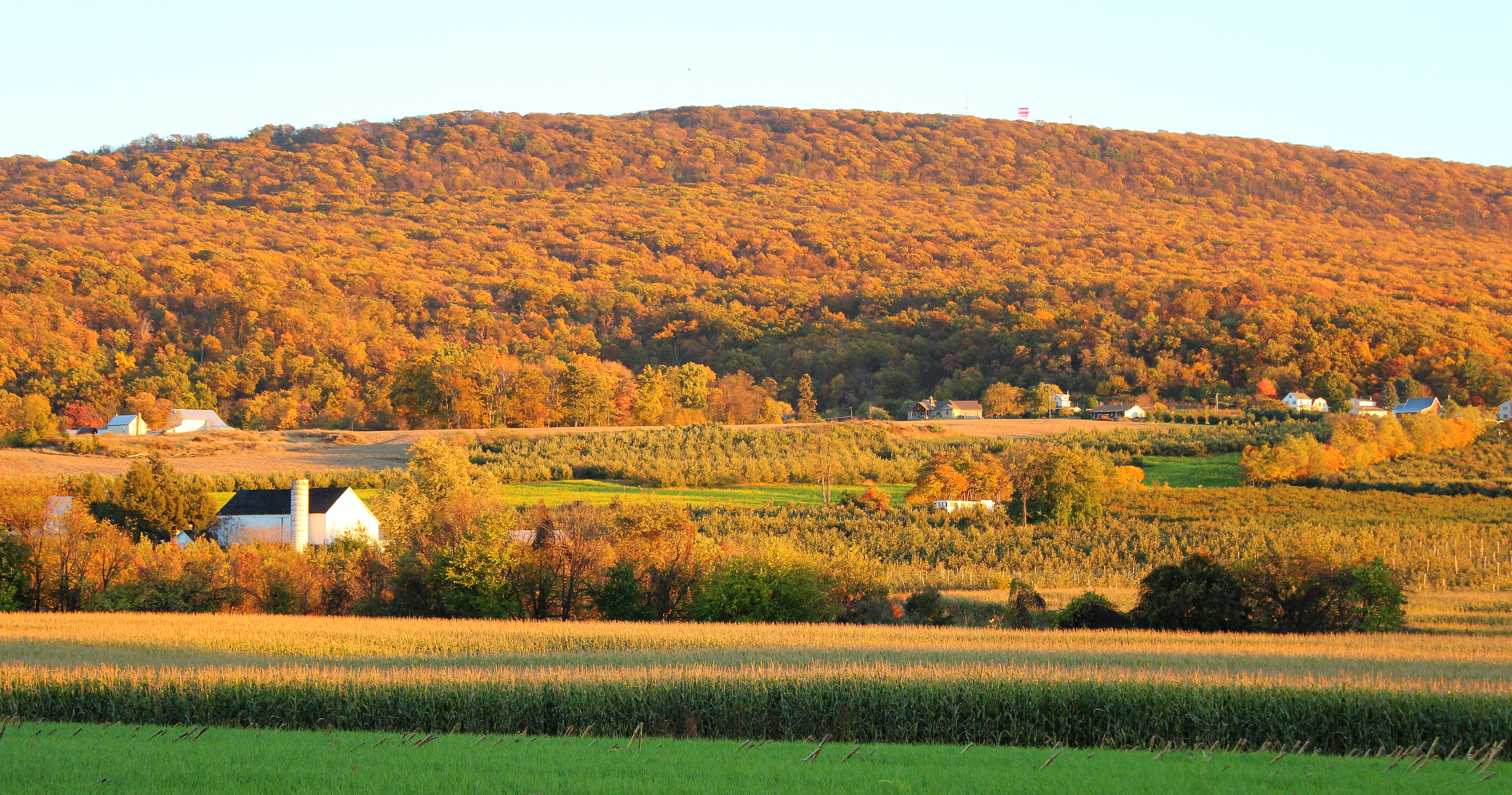
South Mountain, sundown at the line
MASON DIXON FIELDS
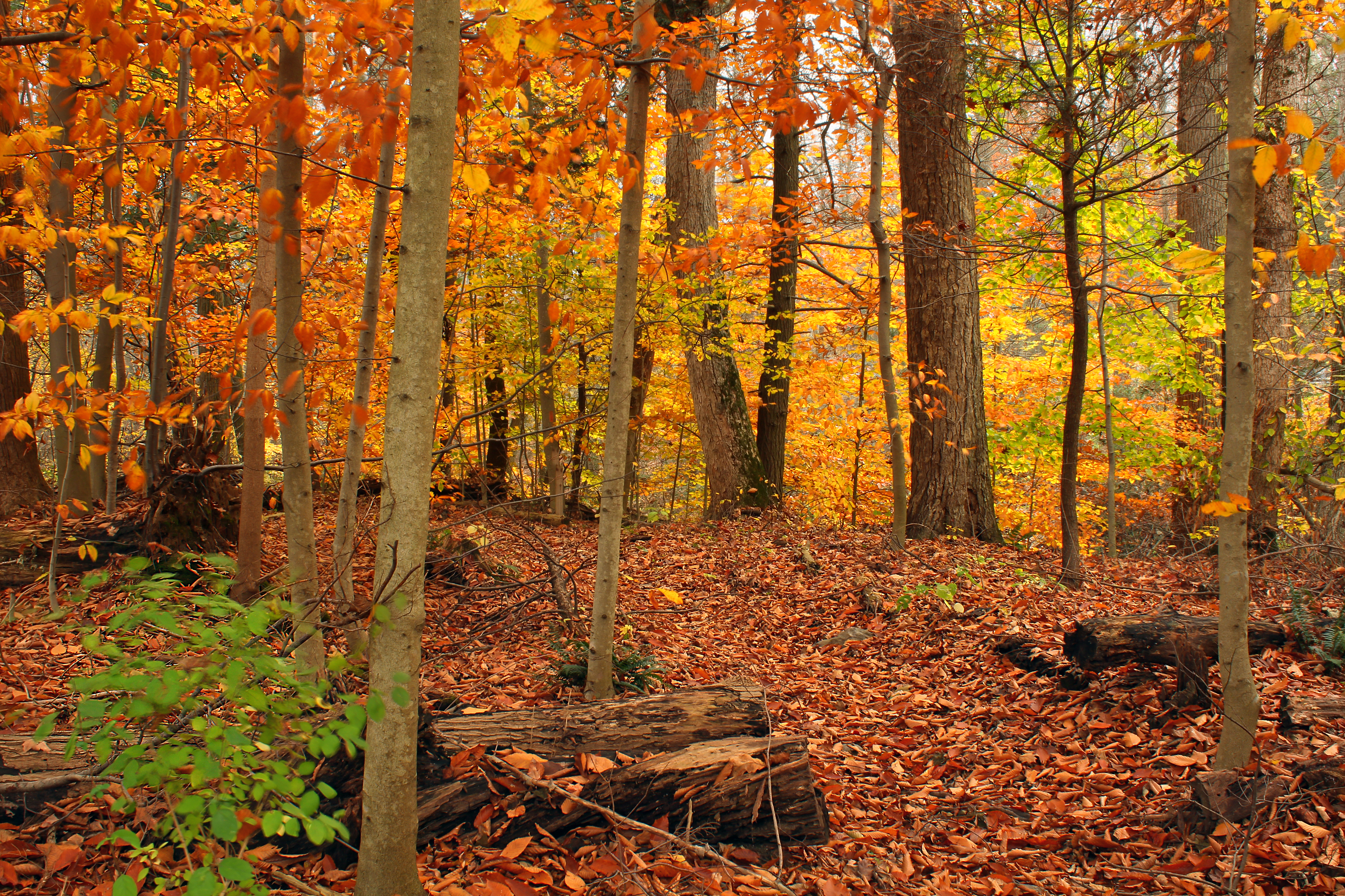
Miles of this

Shelly Farm

MMID 304 on UBHF, Highfield, MD

Hagerstown City Park MD - 2010-04-12 (65)
Beartown Woods Natural Area (3)

Hagerstown City Park MD - 2014-06-10 (31)
{98/365} Mountain meadow

High Point on South Mountain

Shelter #1

Farm, mountain, ski

Smithsburg Sunrise

#whitewater #waterfall #westbygod
Waynesboro Landscape
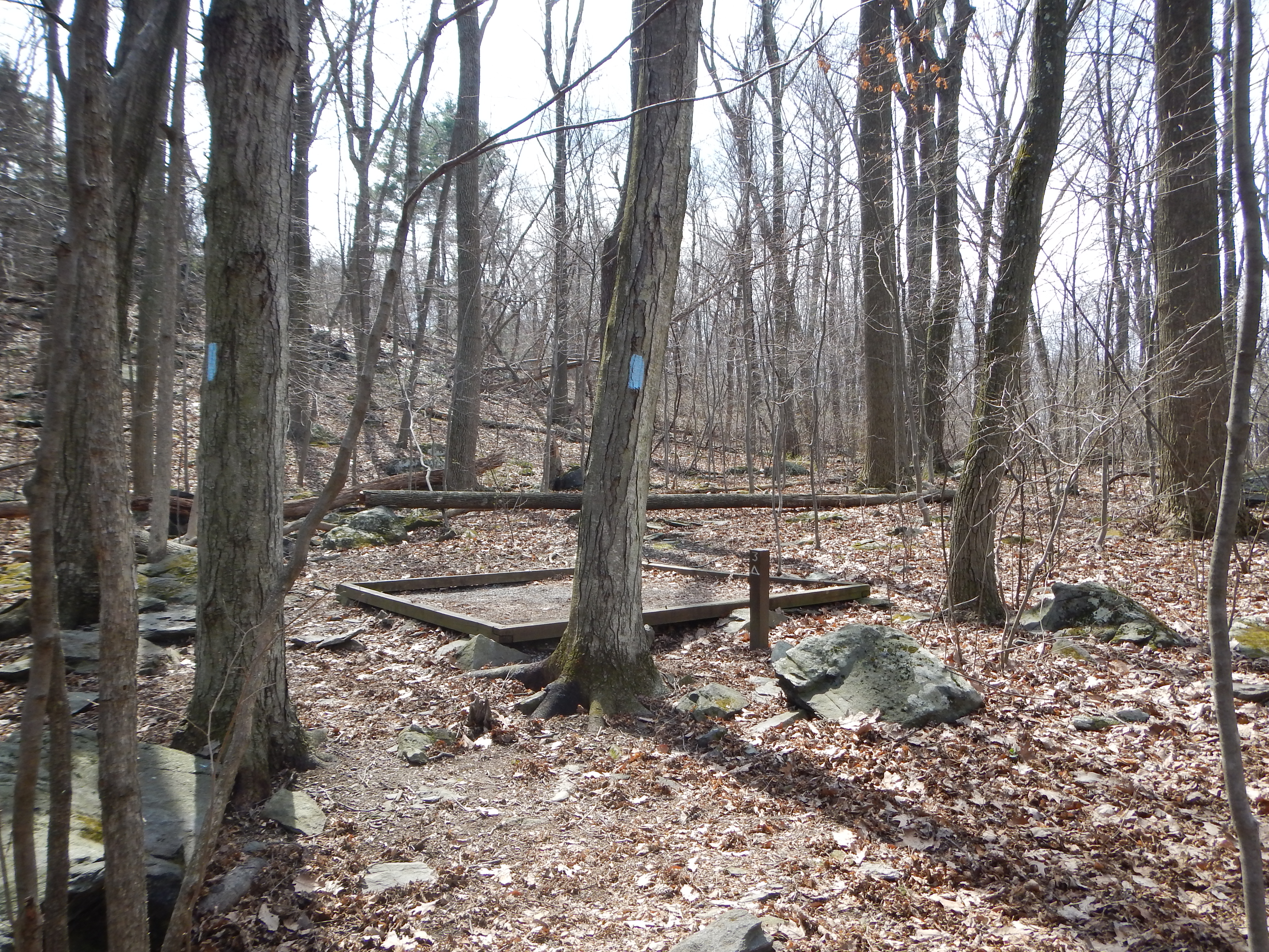
DSCN0105 14 Tent Pad 4
On the water before the sun and got to watch the sun light up the Trough. #sunrise #thetrough #southbranchpotomacriver
Beartown Woods Natural Area (2)

An idea in landscape
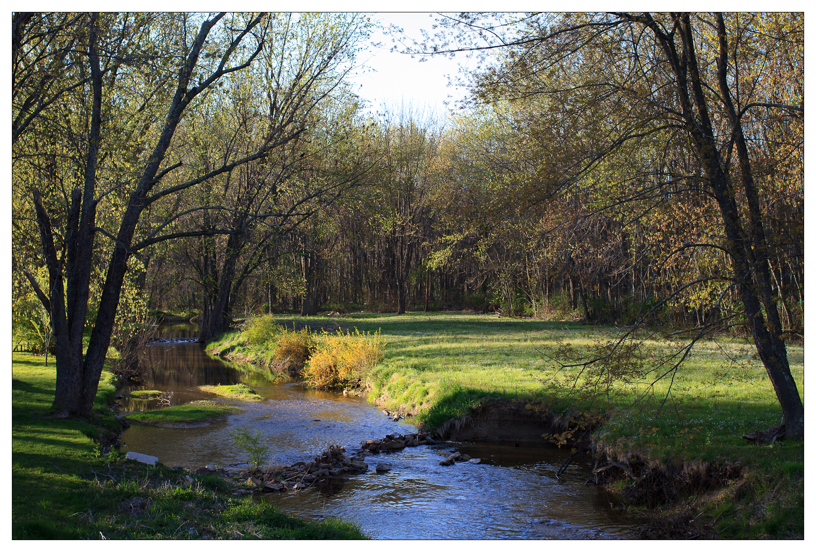
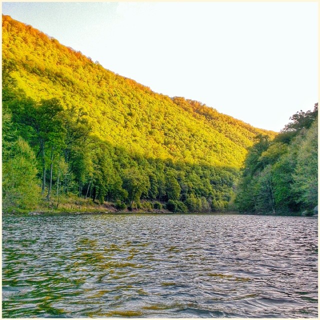
Quiet Waters
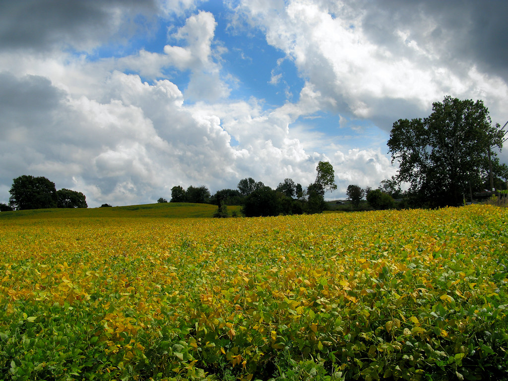
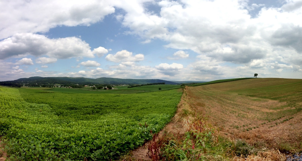
Thunderstorm Brewing Over a Funkstown Soybean Field
Topographic Map of 9, Leitersburg, MD, USA
Find elevation by address:

Places in 9, Leitersburg, MD, USA:
Places near 9, Leitersburg, MD, USA:
State Hwy, Hagerstown, MD, USA
Leitersburg
Battletown Rd, Hagerstown, MD, USA
12903 Mattley Dr
Cedar Hills Dr, Hagerstown, MD, USA
Hagerstown, MD, USA
Tropicana Dr, Hagerstown, MD, USA
20308 Trovinger Mill Rd
Leitersburg Smithsburg Rd, Smithsburg, MD, USA
Paramount-long Meadow
18, Chewsville
Antietam Dr, Hagerstown, MD, USA
Robinwood
19922 Sheridan Ave
Phylane Drive
22120 Pikeside Dr
11409 Fawnbridge Dr
12808 Bradbury Ave
Greensburg Rd, Smithsburg, MD, USA
Smithsburg
Recent Searches:
- Elevation of Corso Fratelli Cairoli, 35, Macerata MC, Italy
- Elevation of Tallevast Rd, Sarasota, FL, USA
- Elevation of 4th St E, Sonoma, CA, USA
- Elevation of Black Hollow Rd, Pennsdale, PA, USA
- Elevation of Oakland Ave, Williamsport, PA, USA
- Elevation of Pedrógão Grande, Portugal
- Elevation of Klee Dr, Martinsburg, WV, USA
- Elevation of Via Roma, Pieranica CR, Italy
- Elevation of Tavkvetili Mountain, Georgia
- Elevation of Hartfords Bluff Cir, Mt Pleasant, SC, USA