Elevation of 9 Laurel Branch Rd, Sylva, NC, USA
Location: United States > North Carolina > Jackson County > Sylva > Sylva >
Longitude: -83.228489
Latitude: 35.3671397
Elevation: 677m / 2221feet
Barometric Pressure: 93KPa
Elevation Map:
Satellite Map:
Related Photos:
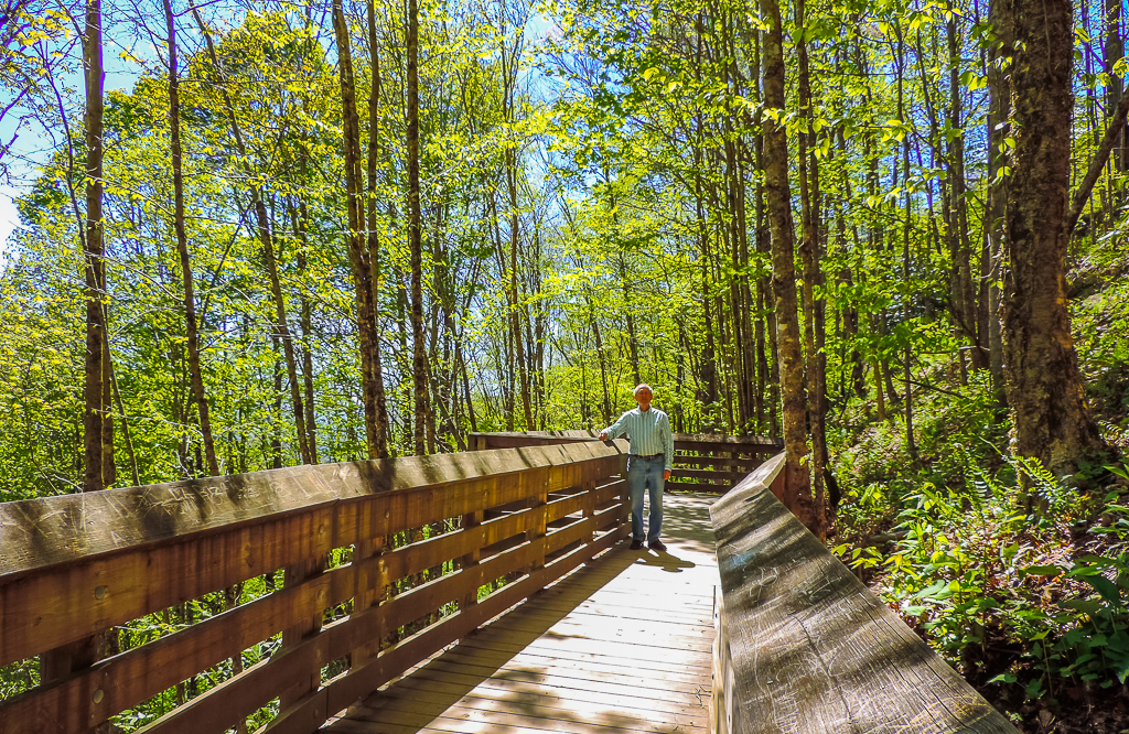
viewing platform
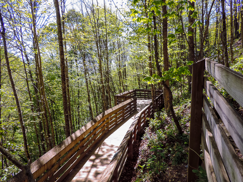
viewing deck
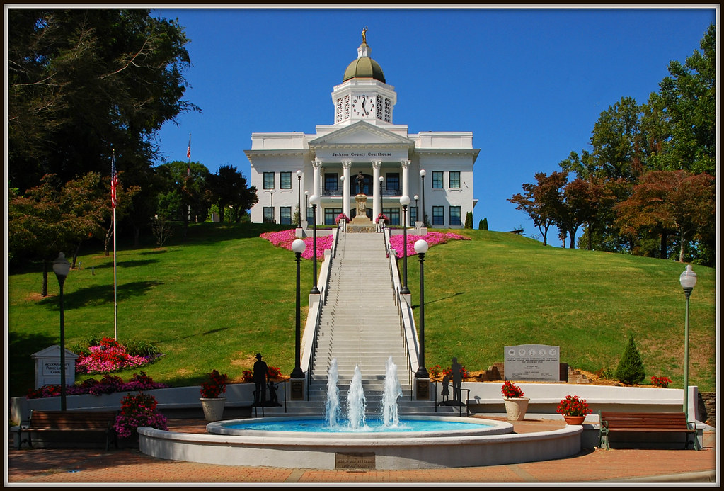
Jackson County Courthouse - Explore #170
"Smokey Bear" Overlook
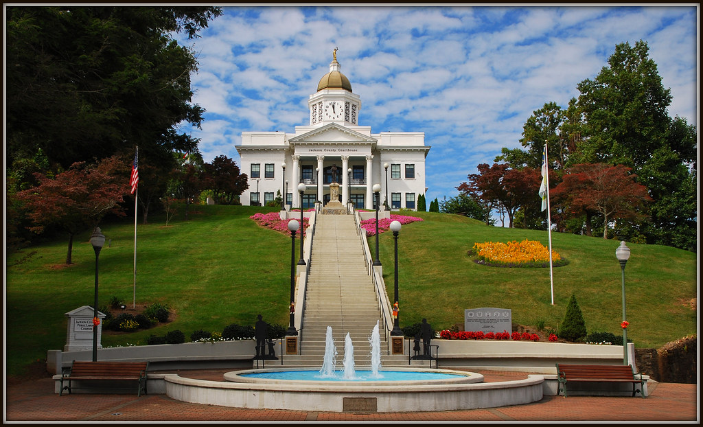
The Most Photographed Courthouse In North Carolina
6. Where I would like to live-----
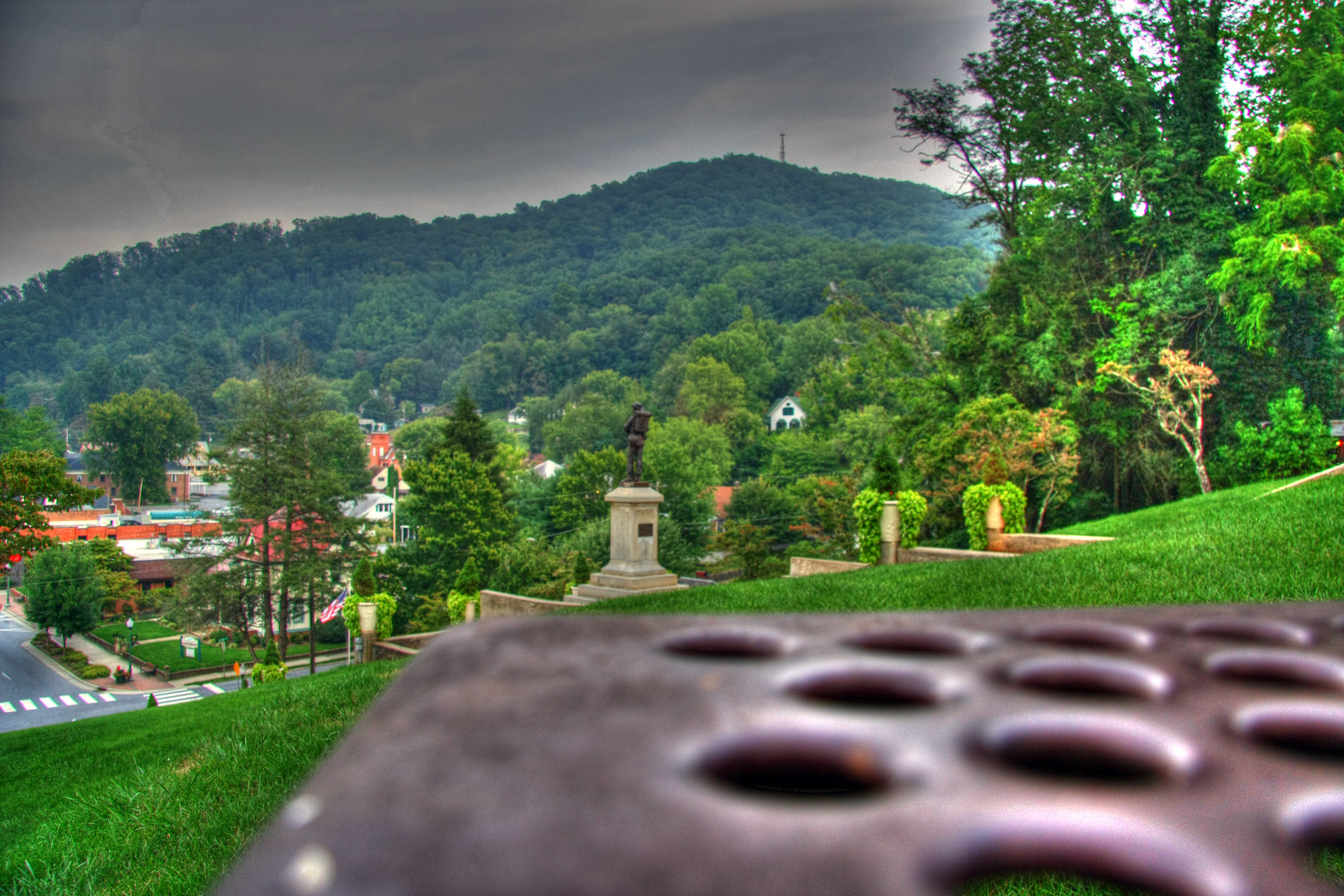
Courthouse View

View in the evening!
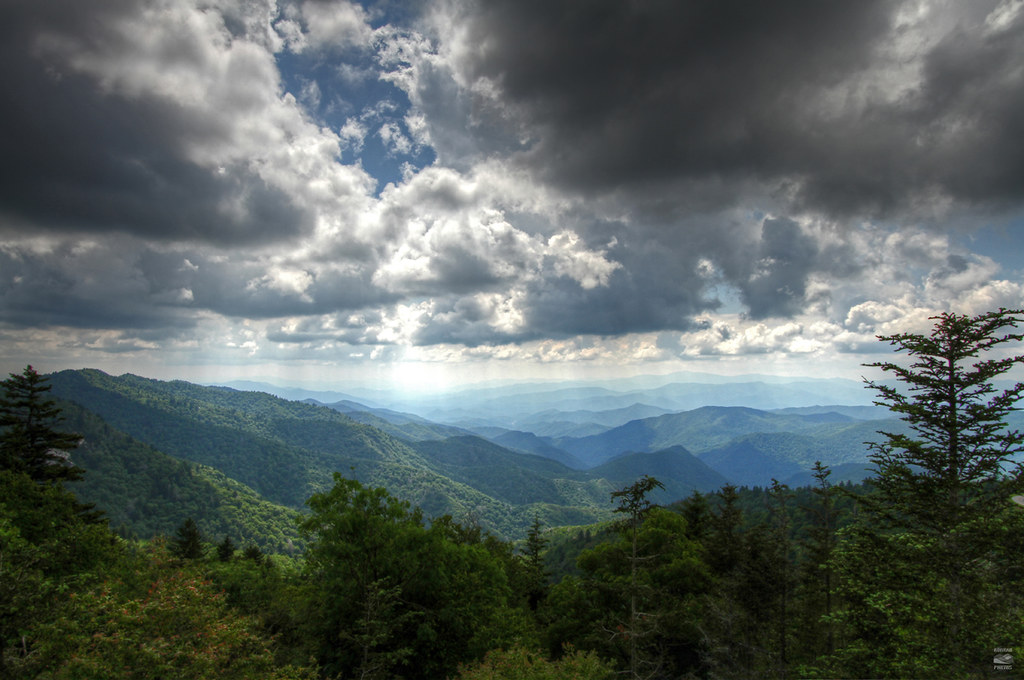
Black Balsam
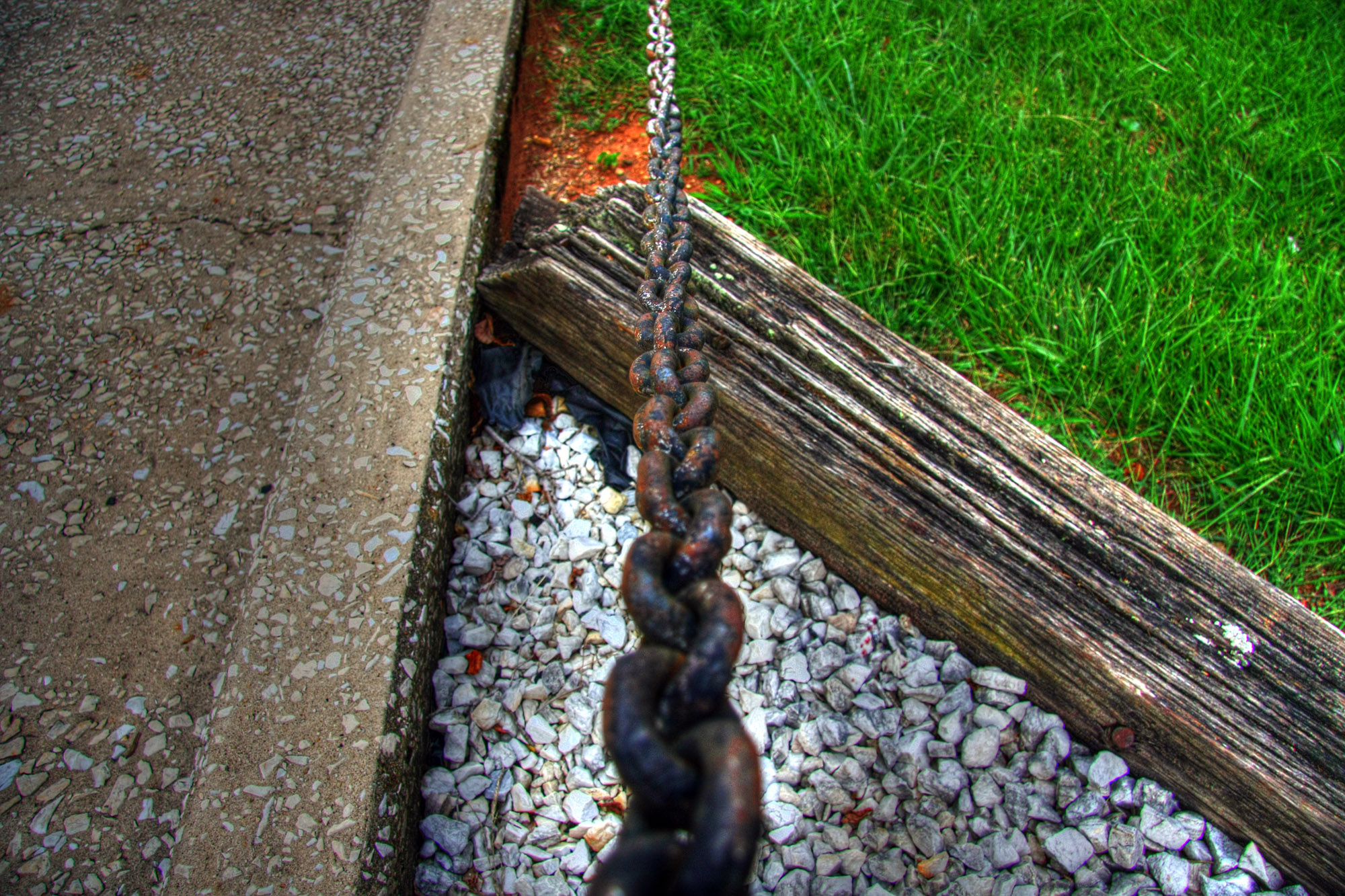
Chain View

male Maevia sp (F Salticidae)
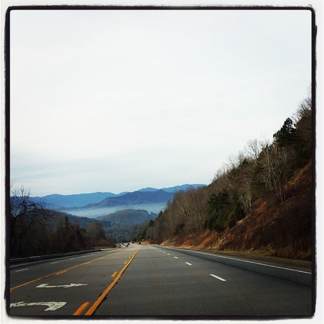
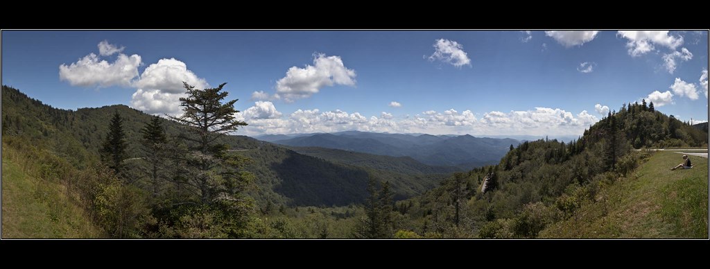
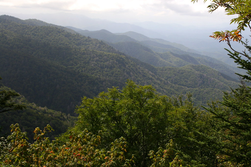
Driving thru the Smokey Mountains, what a view!
Bench View
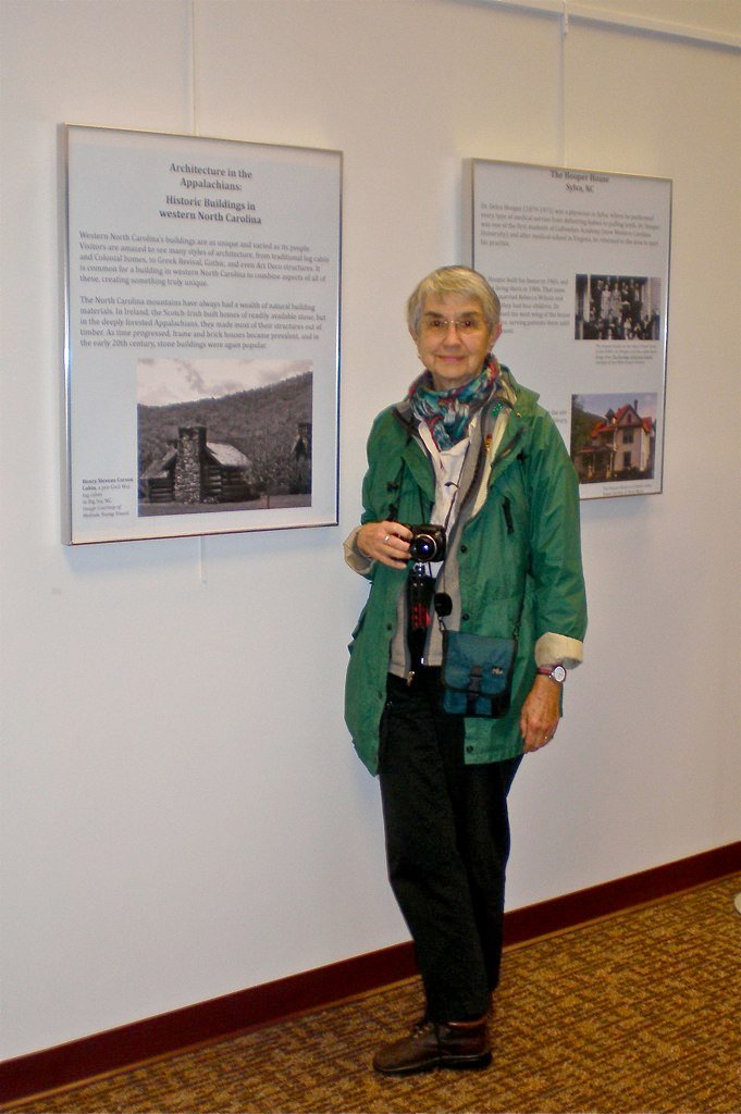
Me & My Photograph

Cowee Bald Fire Tower - North Carolina

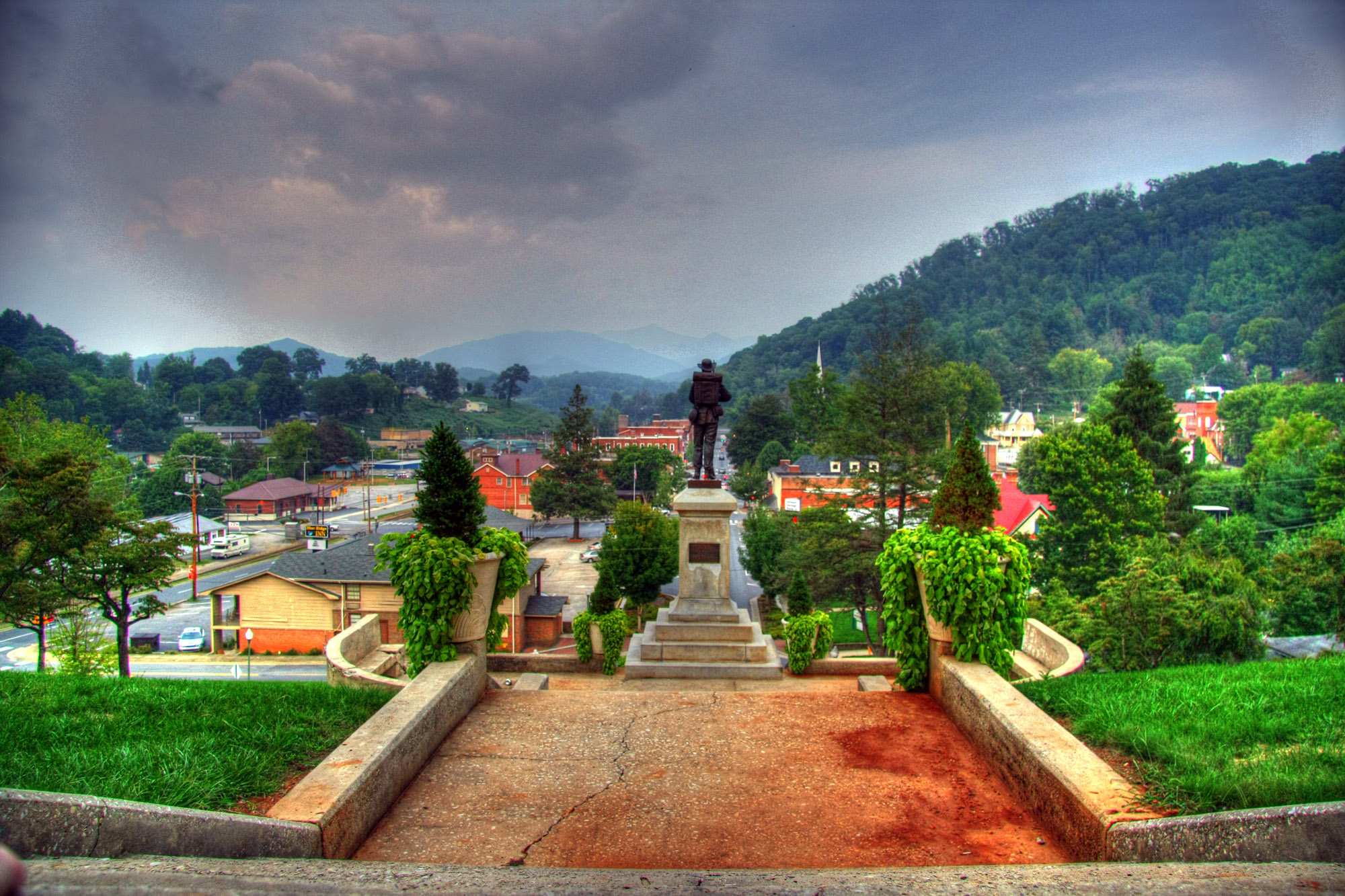
Sylva, NC Main St.

Leafhopper, Graphocephala sp (F Cicadellidae)
Cowee Valley by Susan
Cranberry Ridge Overlook View
Sundown on the Waterrock Knob summit trail.

Current view from our cabin

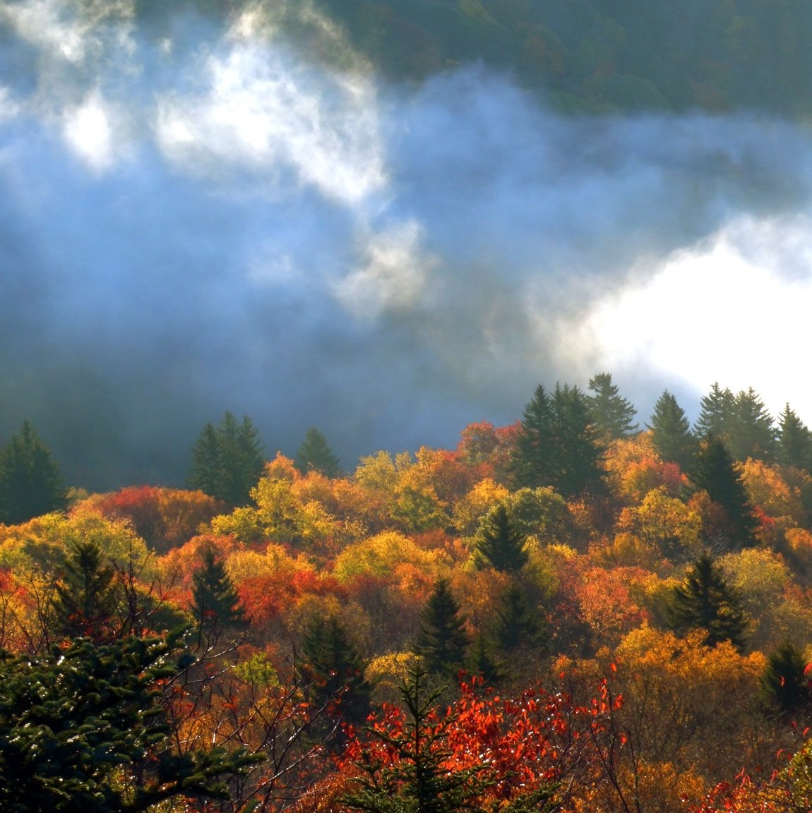
Blue Ridge Autumn

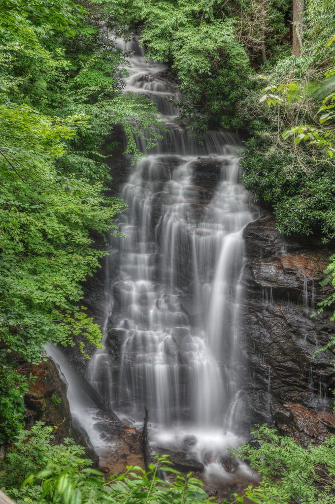
Soco Falls
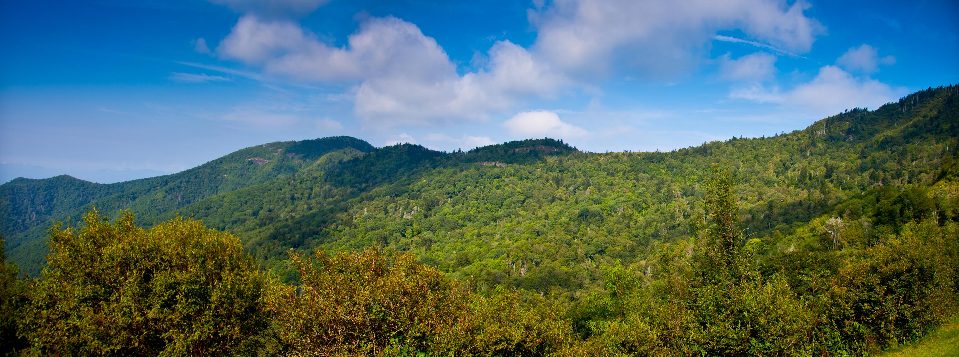
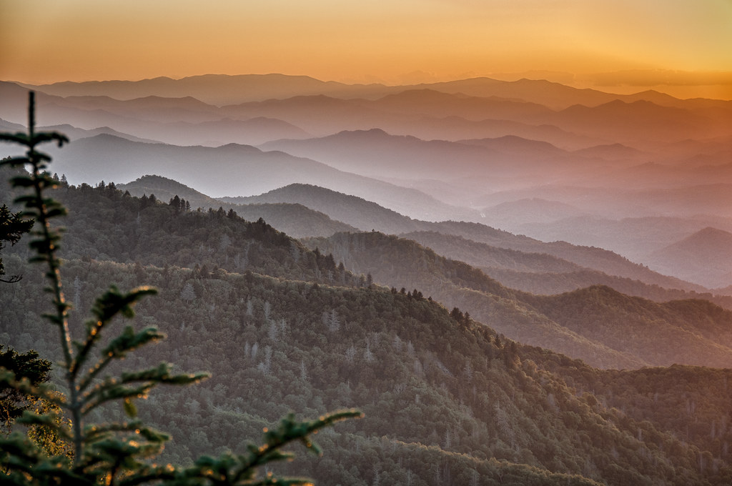
Great Smoky Mountains Landscape Photography

The Curve
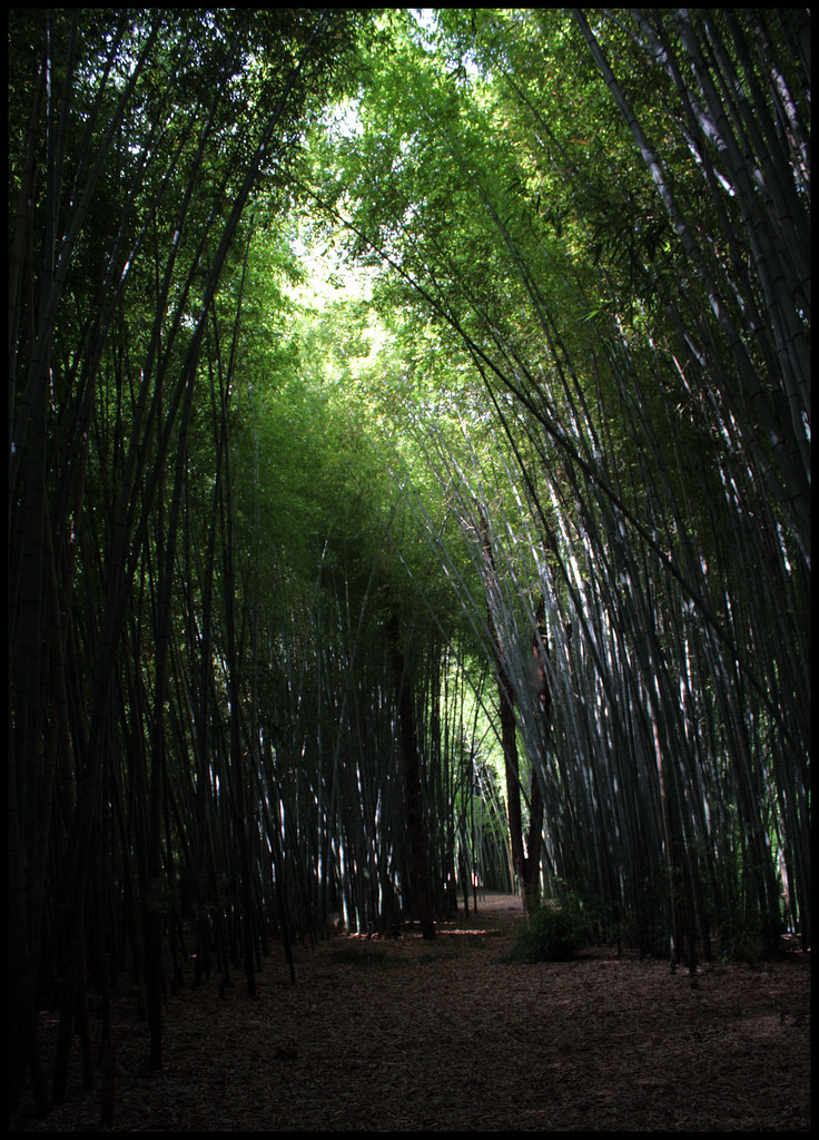
20120720 Bamboo Forest, Cherokee North Carolina 005

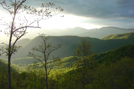
Dark Mountain Peak
Cranberry Ridge Overlook View 2
Soco Falls ( 5 Views ) - North Carolina
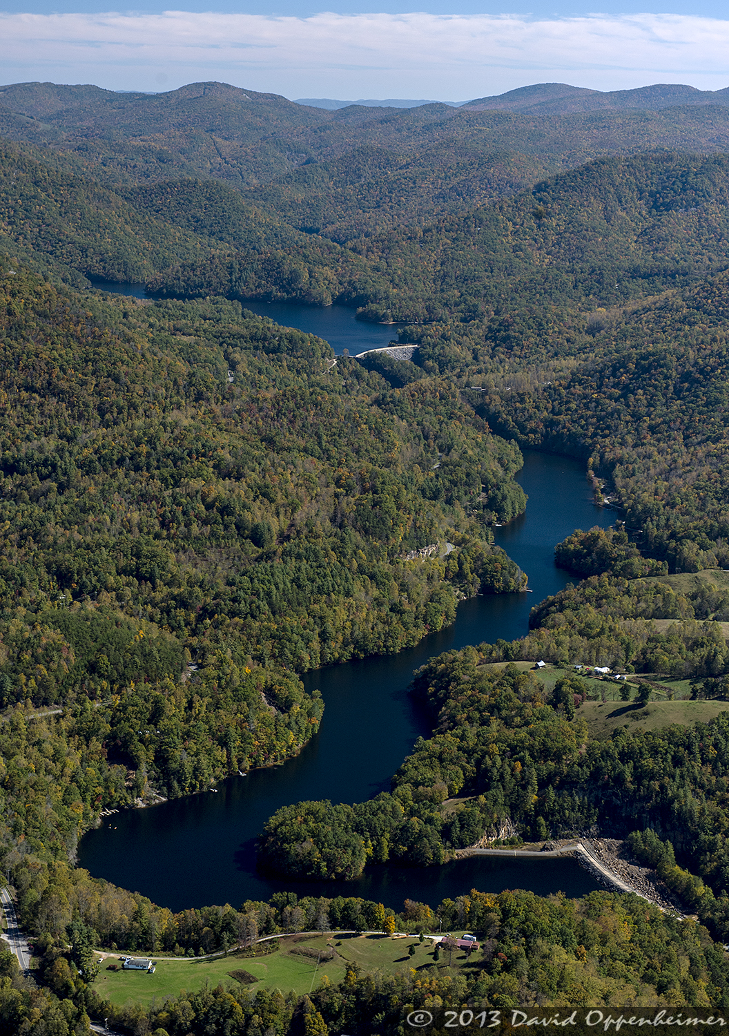
Cliff Lake in Nantahala National Forest

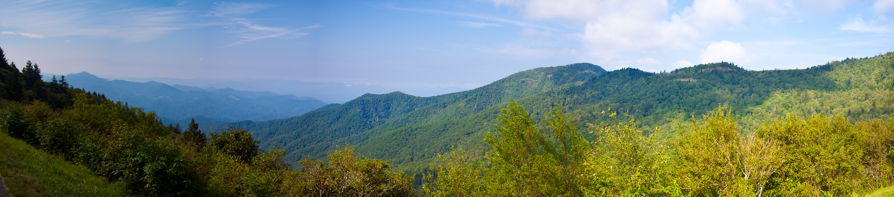
A view from the Blue Ridge Parkway

Sunset Over Great Smoky Mountains
Sunset at Waterrock Knob - Explored

After leaving Oconaluftee, (an Indian Village in Cherokee, North Carolina) I felt really humble to see in person what it was like to experience how 18th century Indians lived and learn more history of our land. Unfortunately, the white settlers brought so
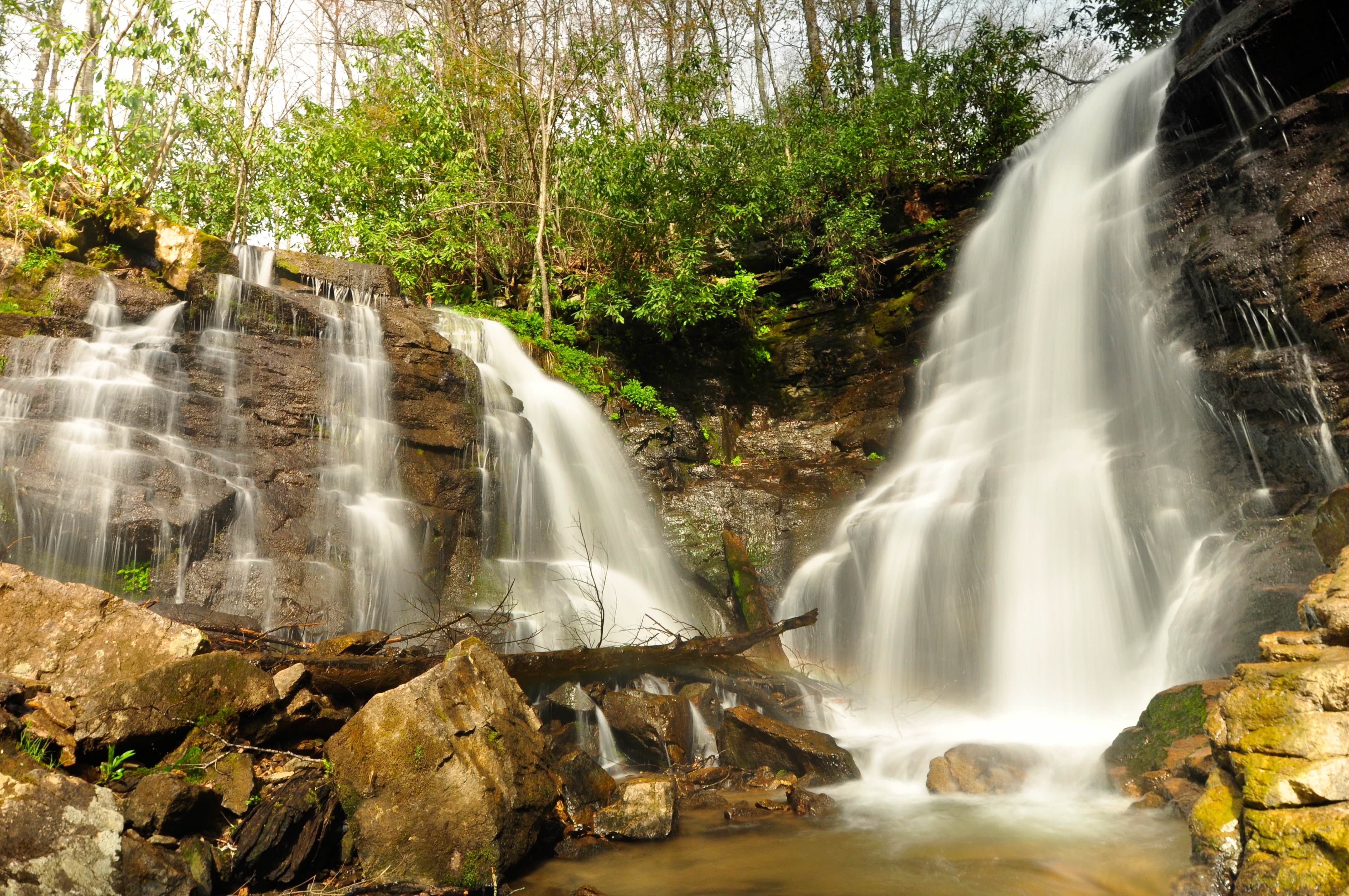
Soco Falls
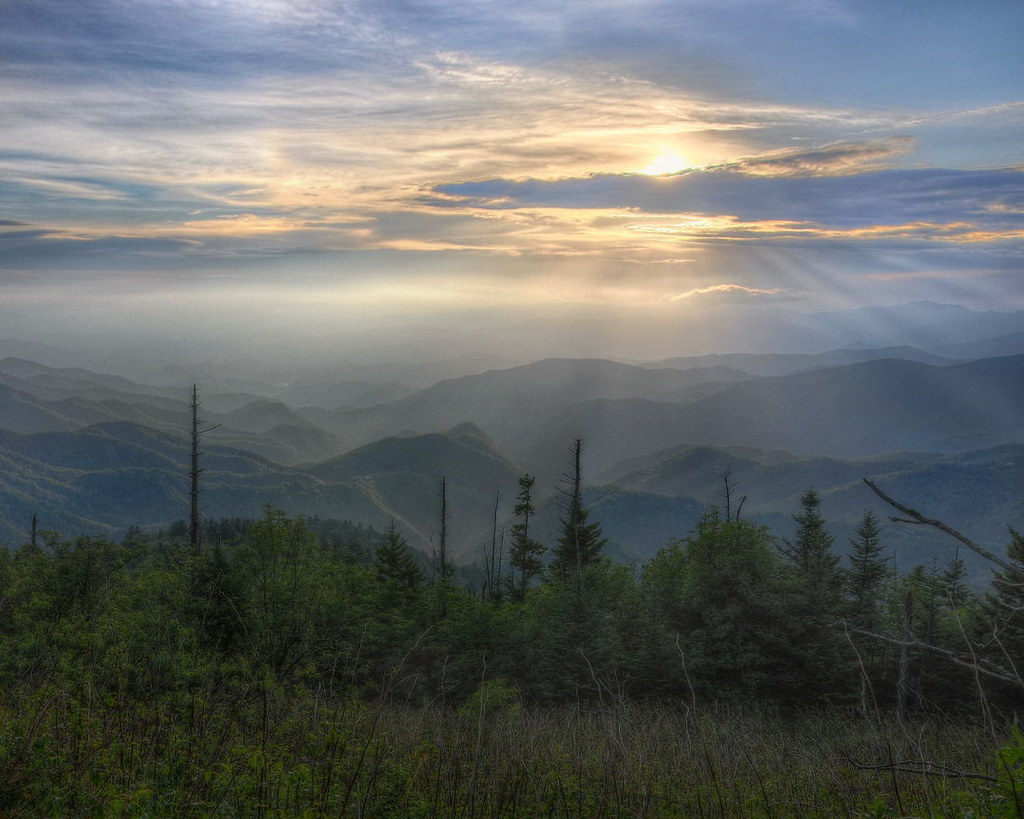
Waterrock Knob Sunrise , Clouds, and Color
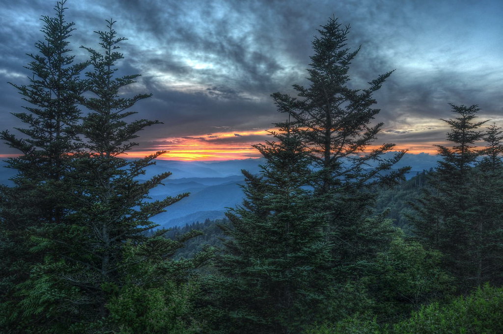
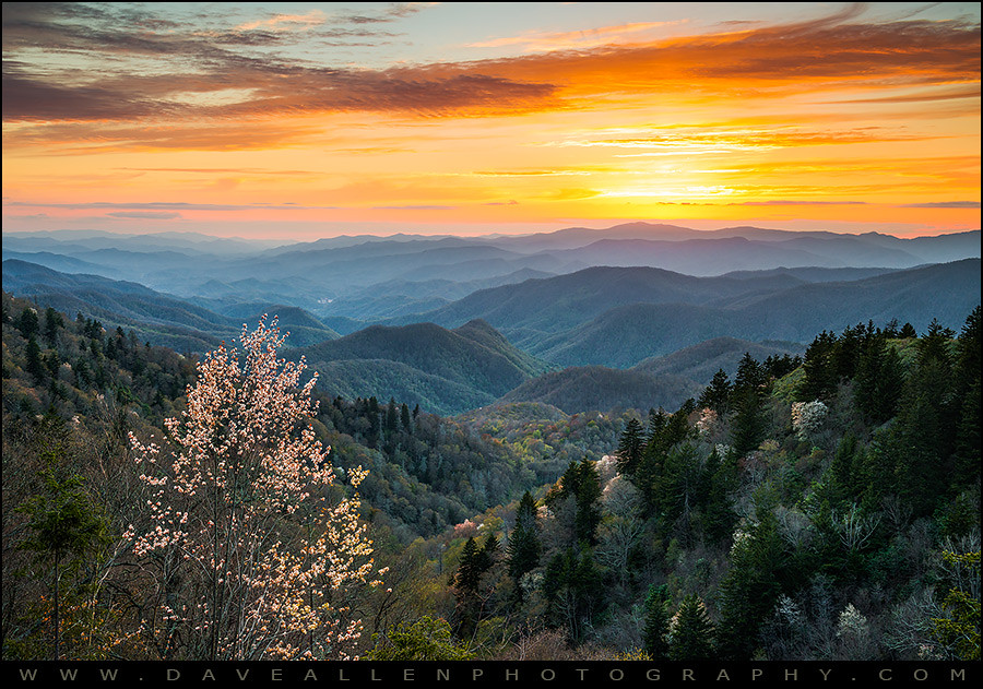
Waterrock Knob Sunset
Waterrock Knob II
Topographic Map of 9 Laurel Branch Rd, Sylva, NC, USA
Find elevation by address:

Places near 9 Laurel Branch Rd, Sylva, NC, USA:
1 Ridgeway St
5 Ridgeway St
310 Keener St
Sylva
109 King St
30 E Jackson St
30 E Jackson St
30 E Jackson St
30 E Jackson St
Re/max Awenasa Realty - Sylva
Cullowhee Mountain Arts
184 Sylvan Heights
409 Briarwood Rd
2 Breeze Ln
1000 Buchanan Loop
Sunrise Park
Sunrise Park
Painter Street
Buchanan Loop
39 Buchanan Loop
Recent Searches:
- Elevation of Corso Fratelli Cairoli, 35, Macerata MC, Italy
- Elevation of Tallevast Rd, Sarasota, FL, USA
- Elevation of 4th St E, Sonoma, CA, USA
- Elevation of Black Hollow Rd, Pennsdale, PA, USA
- Elevation of Oakland Ave, Williamsport, PA, USA
- Elevation of Pedrógão Grande, Portugal
- Elevation of Klee Dr, Martinsburg, WV, USA
- Elevation of Via Roma, Pieranica CR, Italy
- Elevation of Tavkvetili Mountain, Georgia
- Elevation of Hartfords Bluff Cir, Mt Pleasant, SC, USA