Elevation of 98 Godegård, Sweden
Location: Sweden > Östergötland County >
Longitude: 15.1625192
Latitude: 58.7474119
Elevation: 127m / 417feet
Barometric Pressure: 100KPa
Elevation Map:
Satellite Map:
Related Photos:

From the Table's Point of View

Hammar Church with surroundings, Närke, Sweden

Tjärat kyrktak
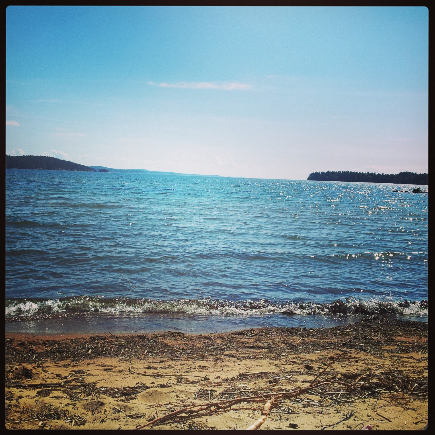
beach/sea
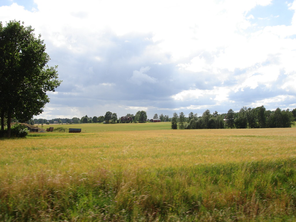
passing by
Orolig men lydig Isak

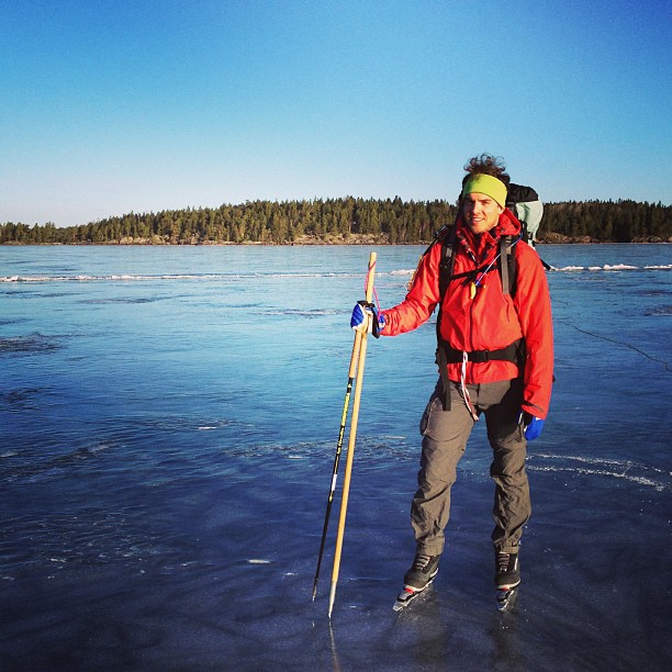
Camera Roll-171
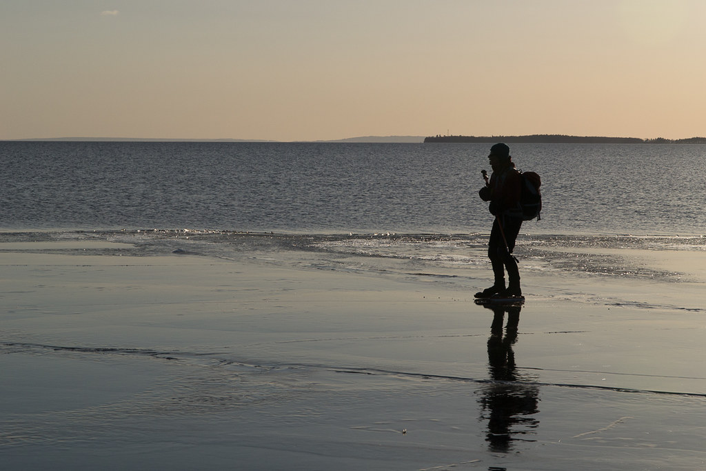
Ulla vid kanten
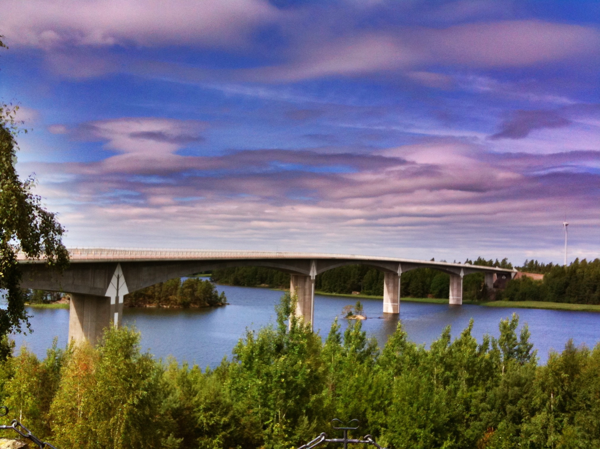
Hammarsundsbron.

Cottage Harge Sörgard

The Shelter

Cottage Harge Sörgard
Topographic Map of 98 Godegård, Sweden
Find elevation by address:

Places in 98 Godegård, Sweden:
Places near 98 Godegård, Sweden:
Godegård, 34 Tjällmo, Sweden
Godegård Båseberg, 98 Motala, Sweden
Motala N
Önnabo Stora Svarthyttan, 97 Åmmeberg, Sweden
NORNÄSET, 96 Zinkgruvan, Sweden
Askersund Ö
Motala Ö
Kristinefors
SKÖNNARBO GÅRD, 34 Tjällmo, Sweden
KOPPARBERG, 98 Åsbro, Sweden
Lerbäck Ljungås, 96 Åsbro, Sweden
Norrbygatan 23
Kristinefors 23, 34 Tjällmo, Sweden
Motala
TROLLEFLOD, 10 Ljusfallshammar, Sweden
Stora KORTORP, 92 Hallsberg, Sweden
Vissboda Udden, 45 Åsbro, Sweden
BAVLINGE, 92 Pålsboda, Sweden
Klockrike, 32 Borensberg, Sweden
10a
Recent Searches:
- Elevation of Corso Fratelli Cairoli, 35, Macerata MC, Italy
- Elevation of Tallevast Rd, Sarasota, FL, USA
- Elevation of 4th St E, Sonoma, CA, USA
- Elevation of Black Hollow Rd, Pennsdale, PA, USA
- Elevation of Oakland Ave, Williamsport, PA, USA
- Elevation of Pedrógão Grande, Portugal
- Elevation of Klee Dr, Martinsburg, WV, USA
- Elevation of Via Roma, Pieranica CR, Italy
- Elevation of Tavkvetili Mountain, Georgia
- Elevation of Hartfords Bluff Cir, Mt Pleasant, SC, USA