Elevation of 95 Underpass Rd, Sutton, VT, USA
Location: United States > Vermont > Caledonia County > Sutton >
Longitude: -72.027809
Latitude: 44.633808
Elevation: 394m / 1293feet
Barometric Pressure: 97KPa
Elevation Map:
Satellite Map:
Related Photos:
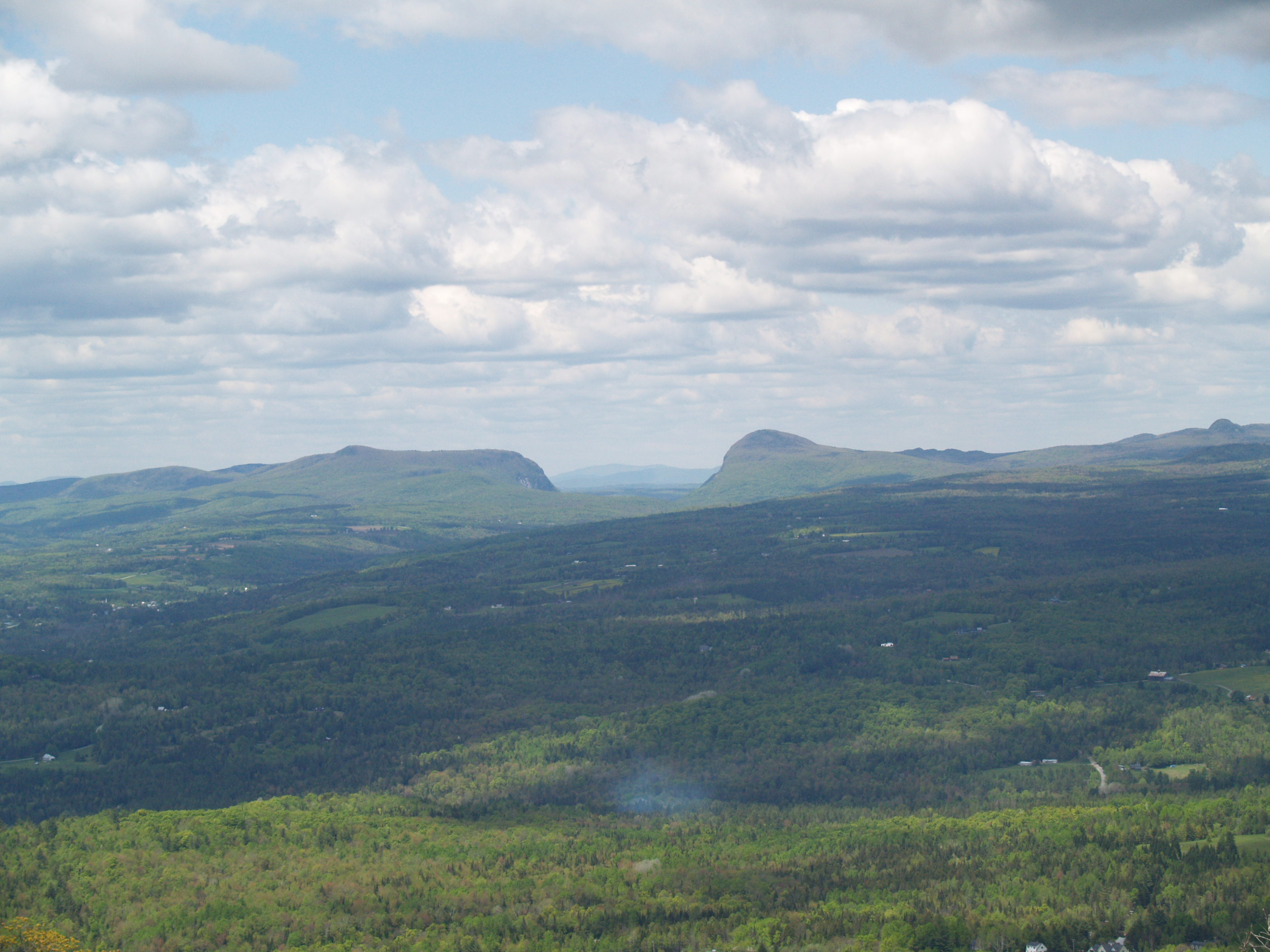
A Gap
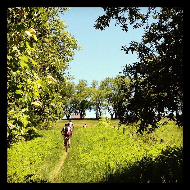
Riding the trails

Mountain View Inn Barn
View from the chapel

Kingdom Trails, Vermont - Mountain Biking
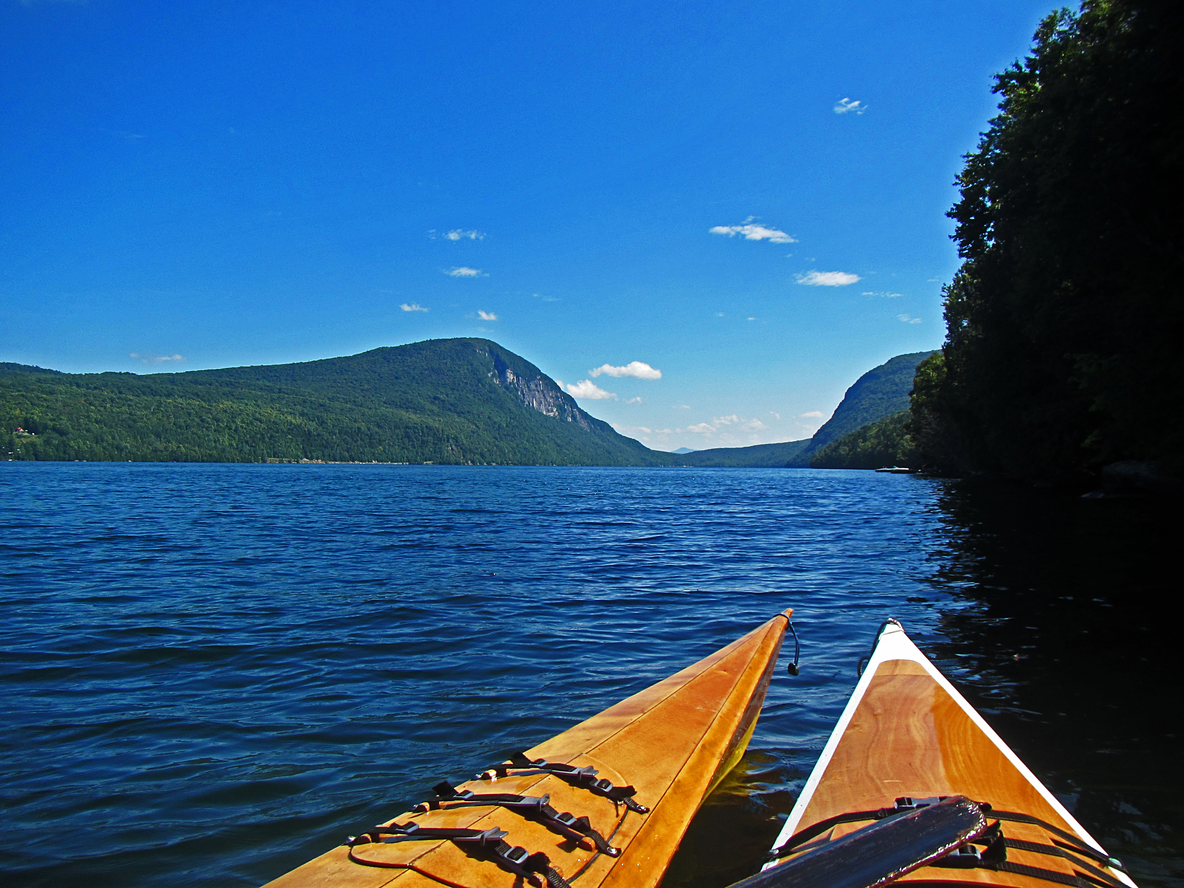
Lake Willoughby Kayker's View

Lake view

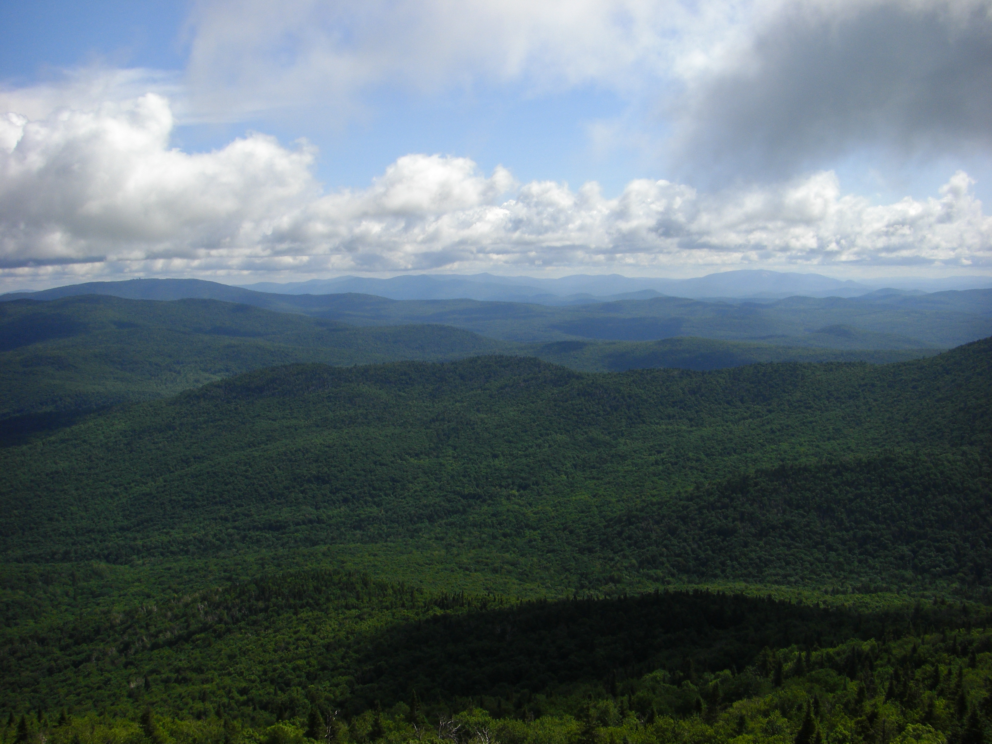
Fire Tower View
P1080806-LakeWilloughby
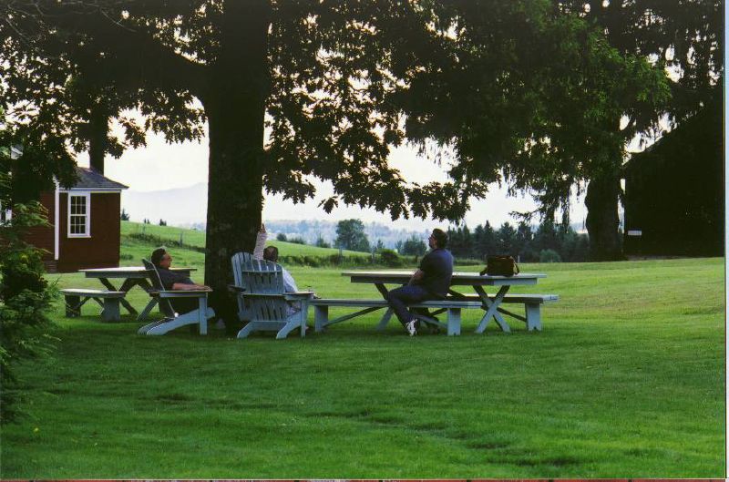
the view relaxing

View from AirBnB Room

The Back Barn
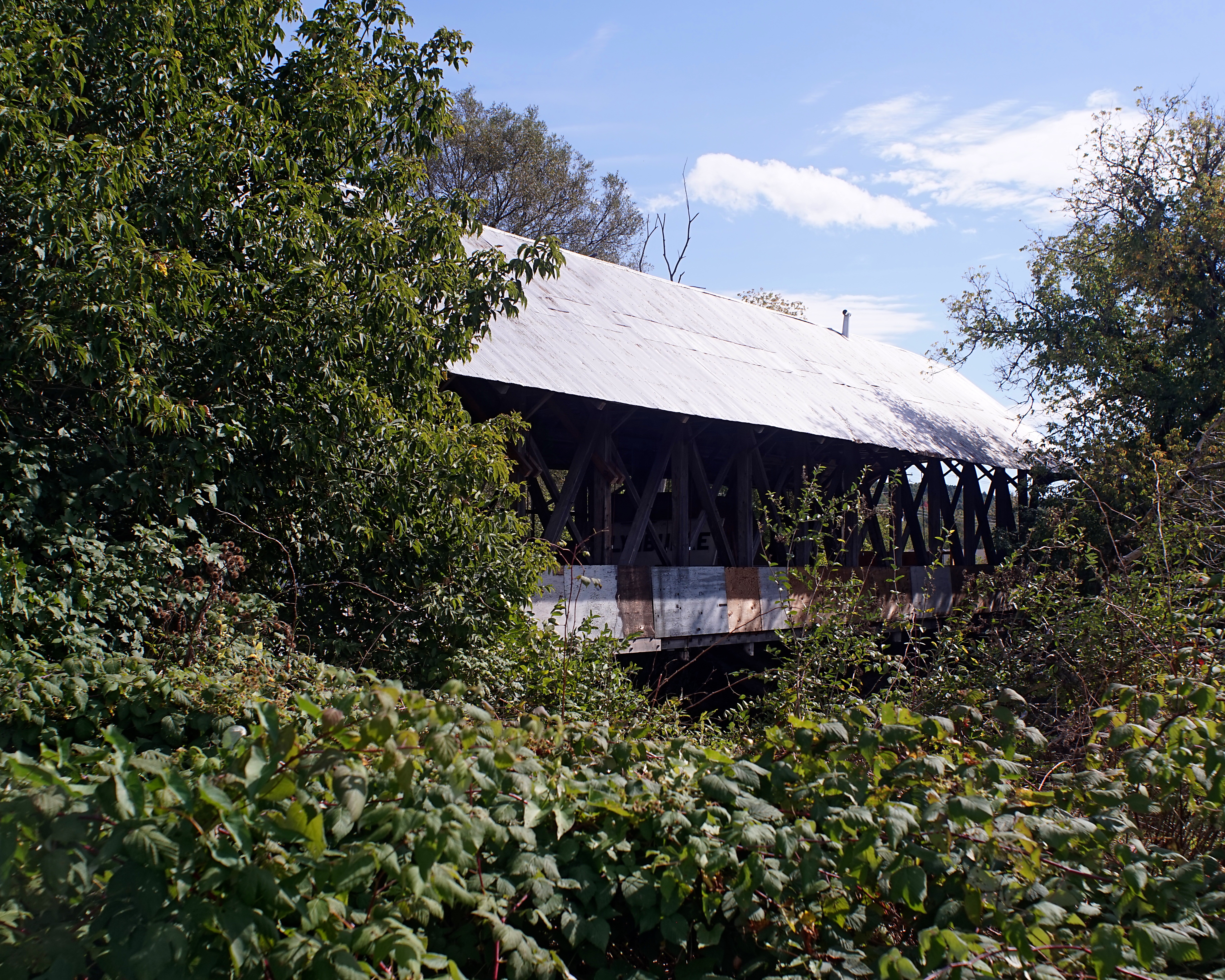
Sanborn Bridge II

these three.
Wall, unmended
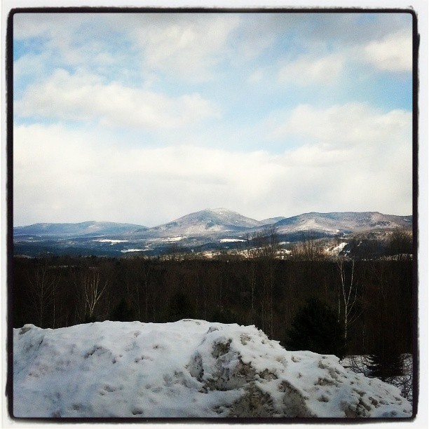
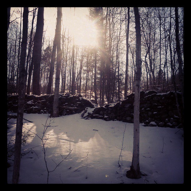
In the frosty highlands
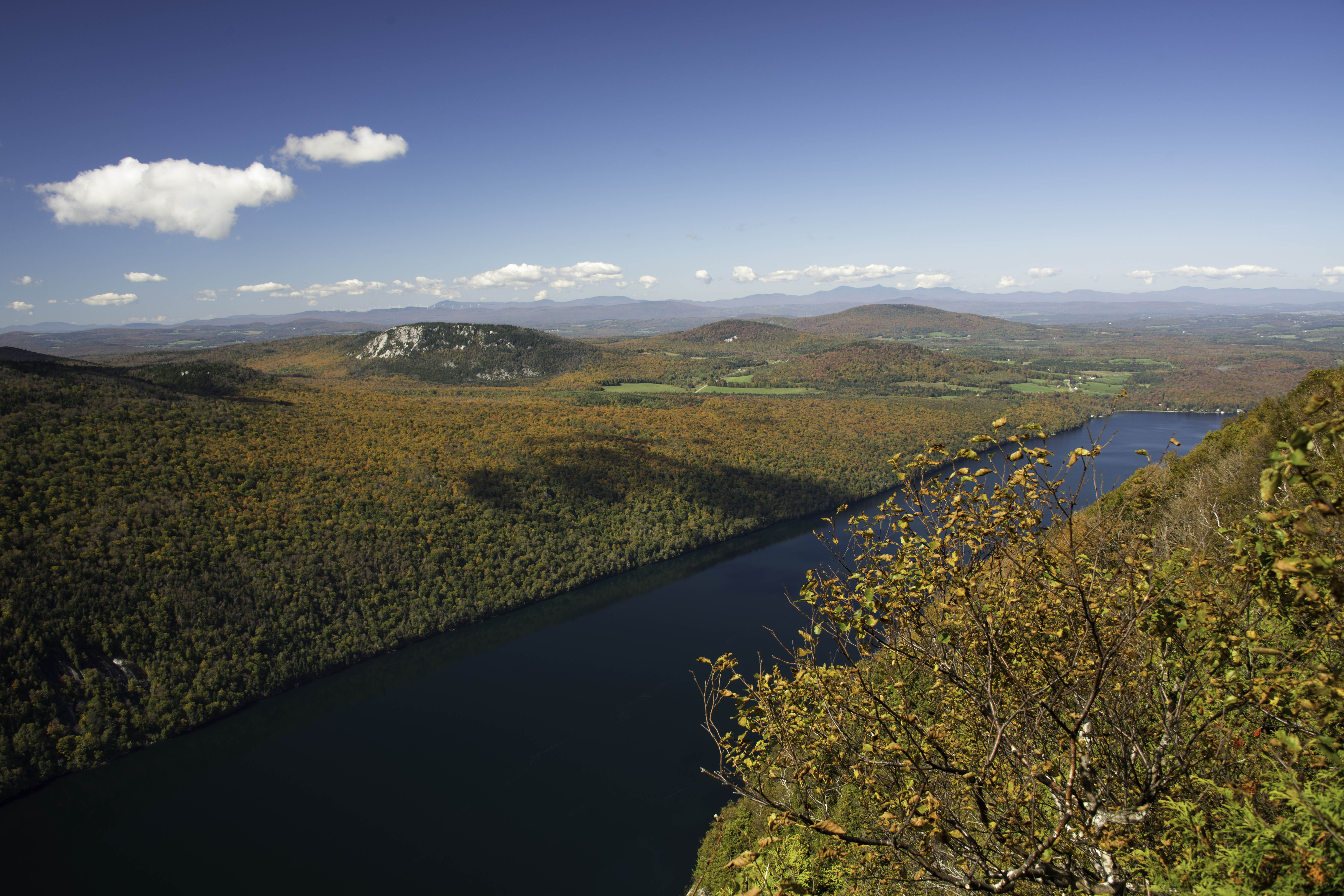
Mt Pisgah Hike
Mt Pisgah Hike

Wheeler Mountain (2013.01.05) 11

Morning Fog
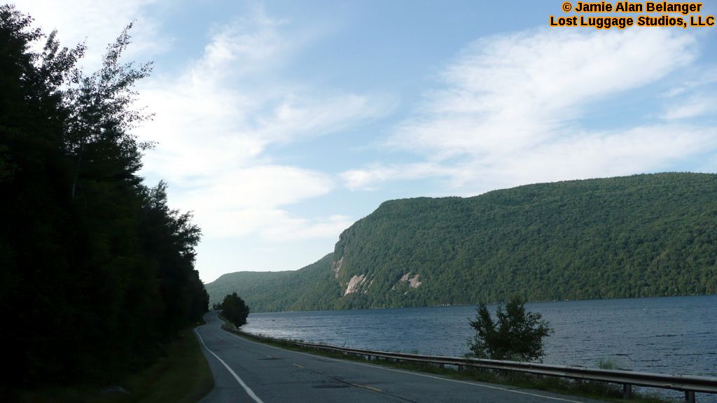
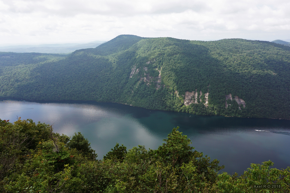
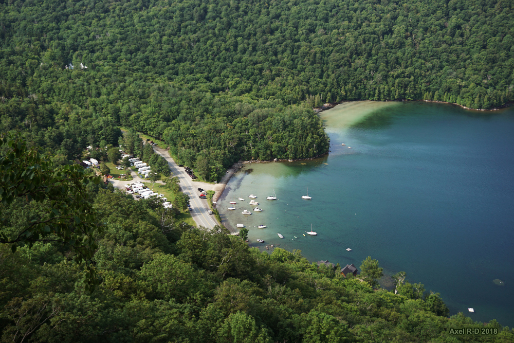
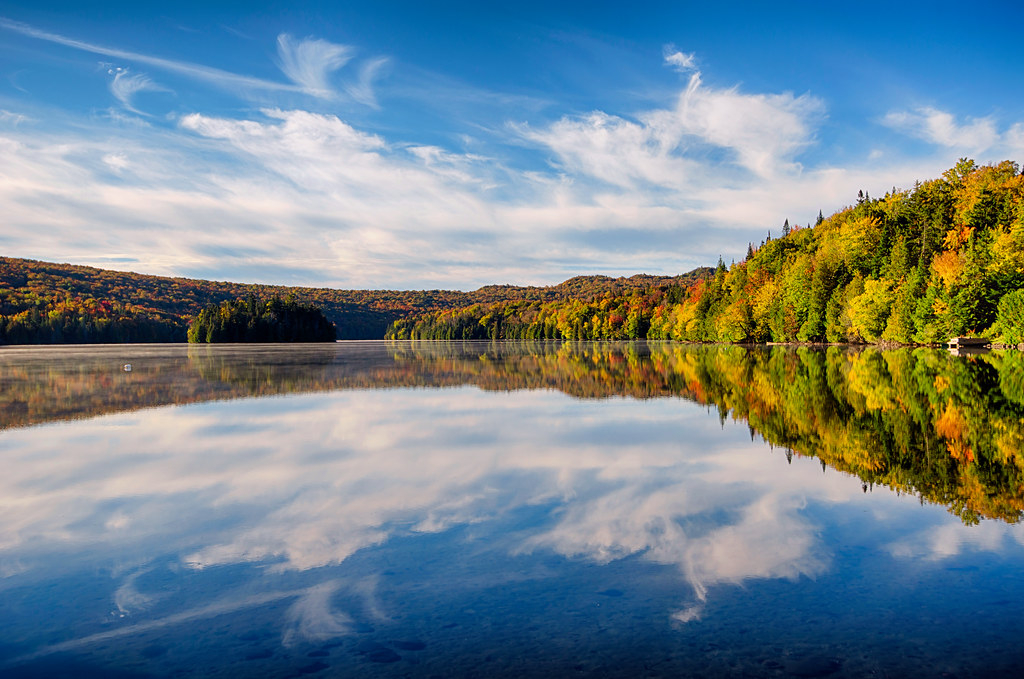
Lake Willoughby
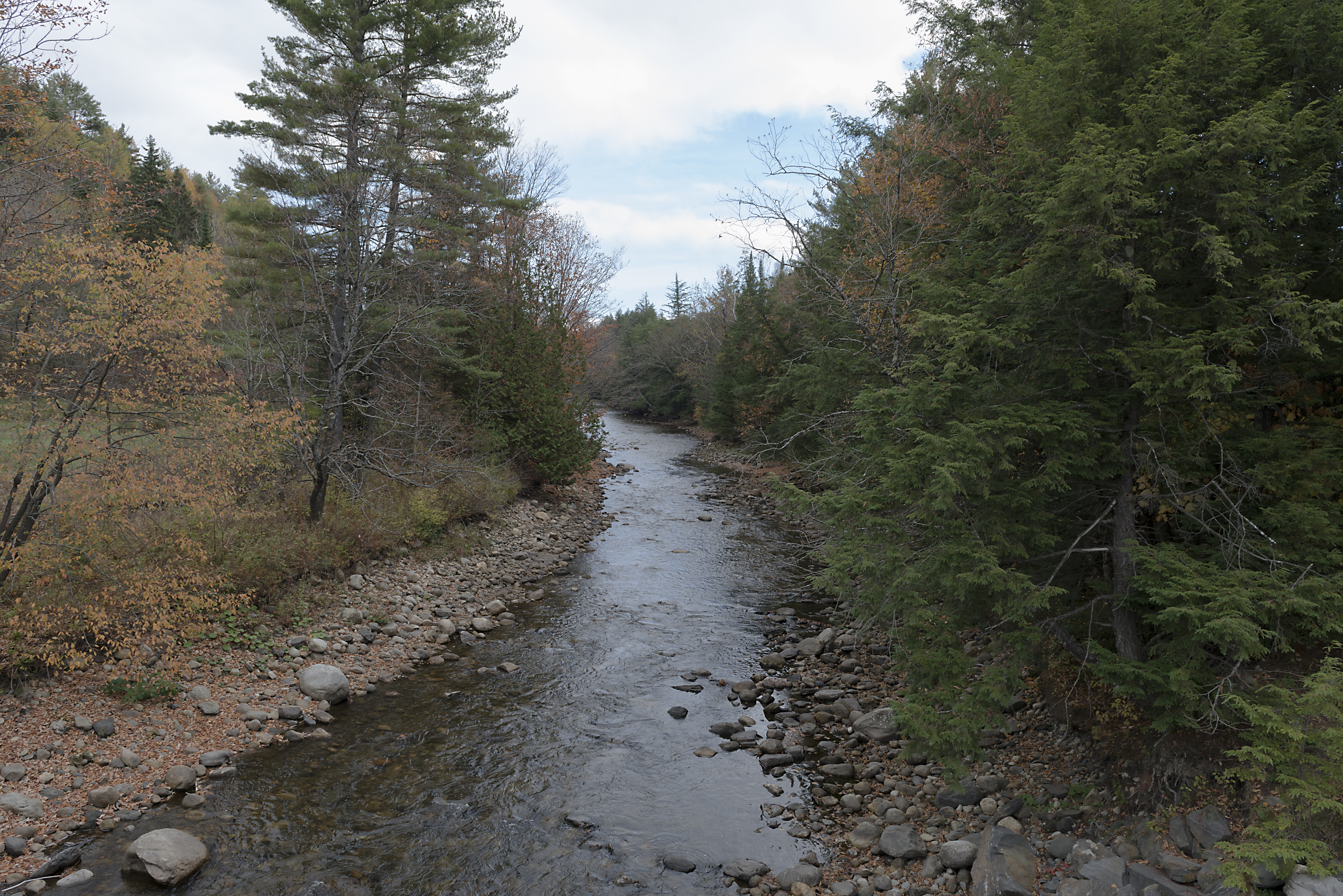
The East Branch of the Passumpsic River
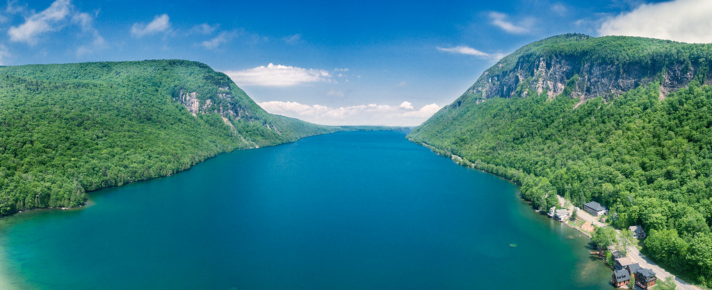
Lake Willoughby by DJI Phantom 4
Kingdom idyll
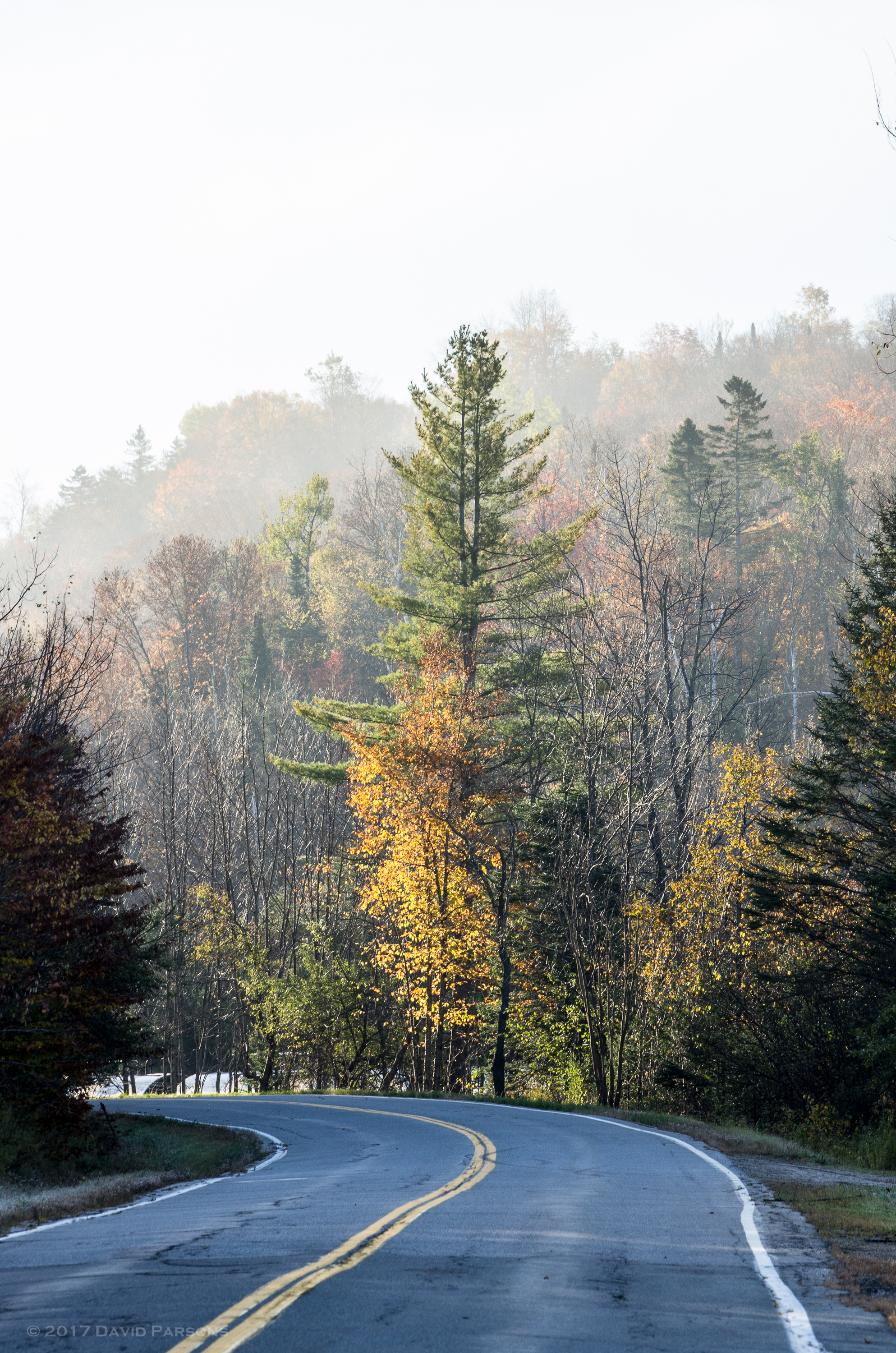
Foggy morning in Sutton
vt_hdr_048.jpg
Darling Hill Road

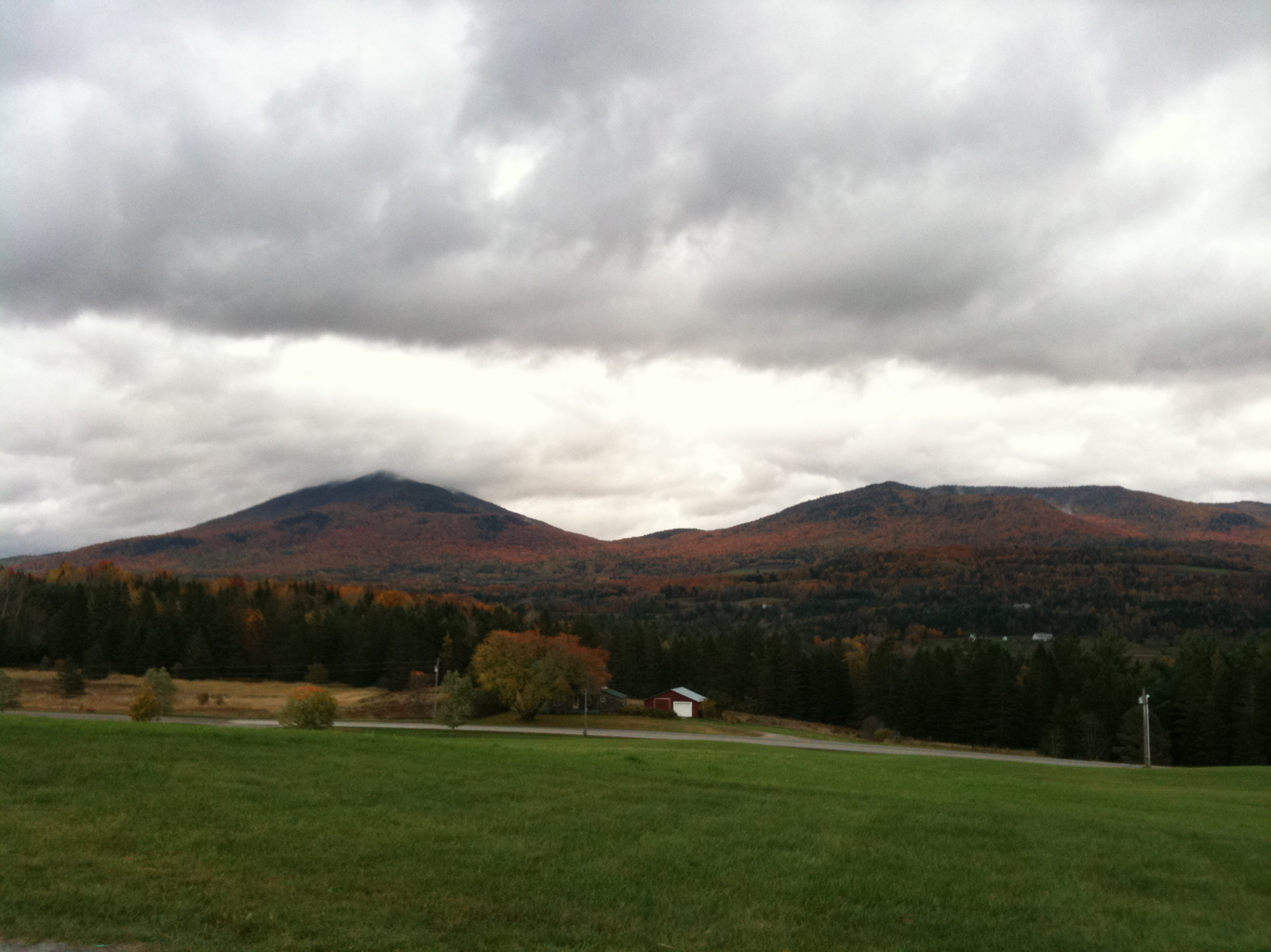
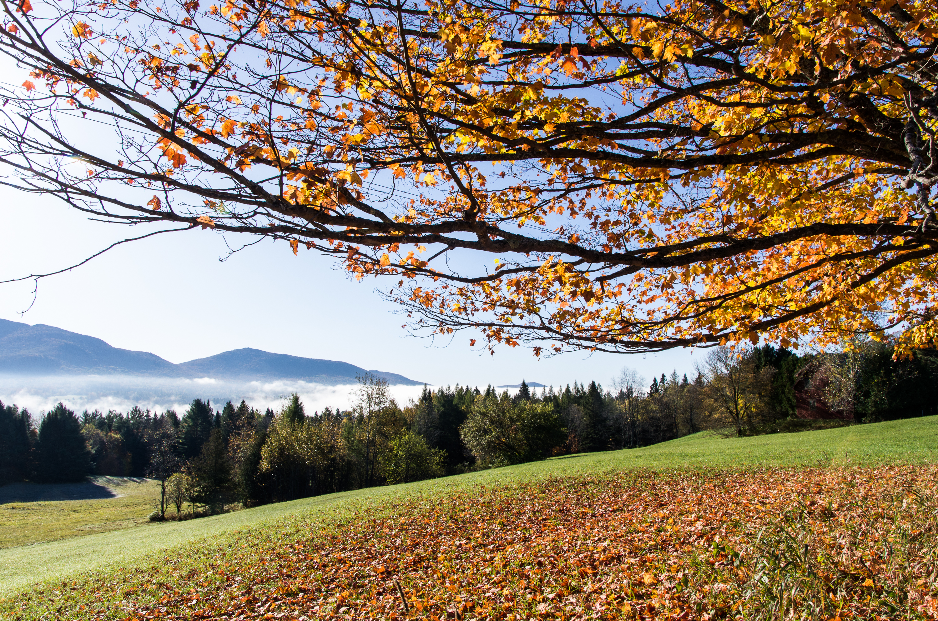
Fall Color

Wheeler Mountain (2013.01.05) 05

vt_hdr_054.jpg
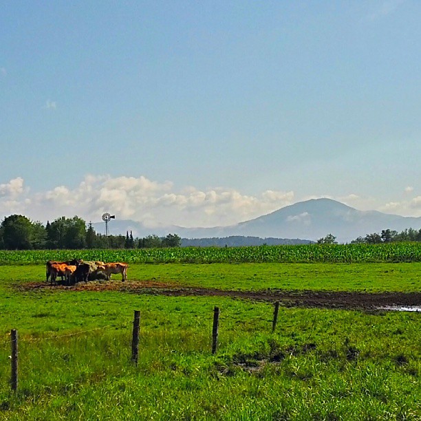
Northeast Kingdom, Vermont
Topographic Map of 95 Underpass Rd, Sutton, VT, USA
Find elevation by address:

Places near 95 Underpass Rd, Sutton, VT, USA:
Sutton
34 Burke Rd, Sutton, VT, USA
1860 Wheelock Rd
West Burke
14 Oakwood Ln
Caledonia County
Burke
Lyndon
Back Center Rd, Lyndonville, VT, USA
East Burke
Lyndonville
438 Charles St
101 Hunter Farm Rd
2264 Vt-114
23 York St, Lyndonville, VT, USA
37 Ledge Rd
1147 Brown Farm Rd
60 Alpine Ln
Industrial Parkway
Burke Mountain Hotel & Conference Center
Recent Searches:
- Elevation of Corso Fratelli Cairoli, 35, Macerata MC, Italy
- Elevation of Tallevast Rd, Sarasota, FL, USA
- Elevation of 4th St E, Sonoma, CA, USA
- Elevation of Black Hollow Rd, Pennsdale, PA, USA
- Elevation of Oakland Ave, Williamsport, PA, USA
- Elevation of Pedrógão Grande, Portugal
- Elevation of Klee Dr, Martinsburg, WV, USA
- Elevation of Via Roma, Pieranica CR, Italy
- Elevation of Tavkvetili Mountain, Georgia
- Elevation of Hartfords Bluff Cir, Mt Pleasant, SC, USA