Elevation of 8 Rue des Fours À Chaux, Orval, France
Location: France > Normandy > Manche > Orval >
Longitude: -1.4490778
Latitude: 48.9960851
Elevation: 37m / 121feet
Barometric Pressure: 101KPa
Elevation Map:
Satellite Map:
Related Photos:

Thunderstorm coming up
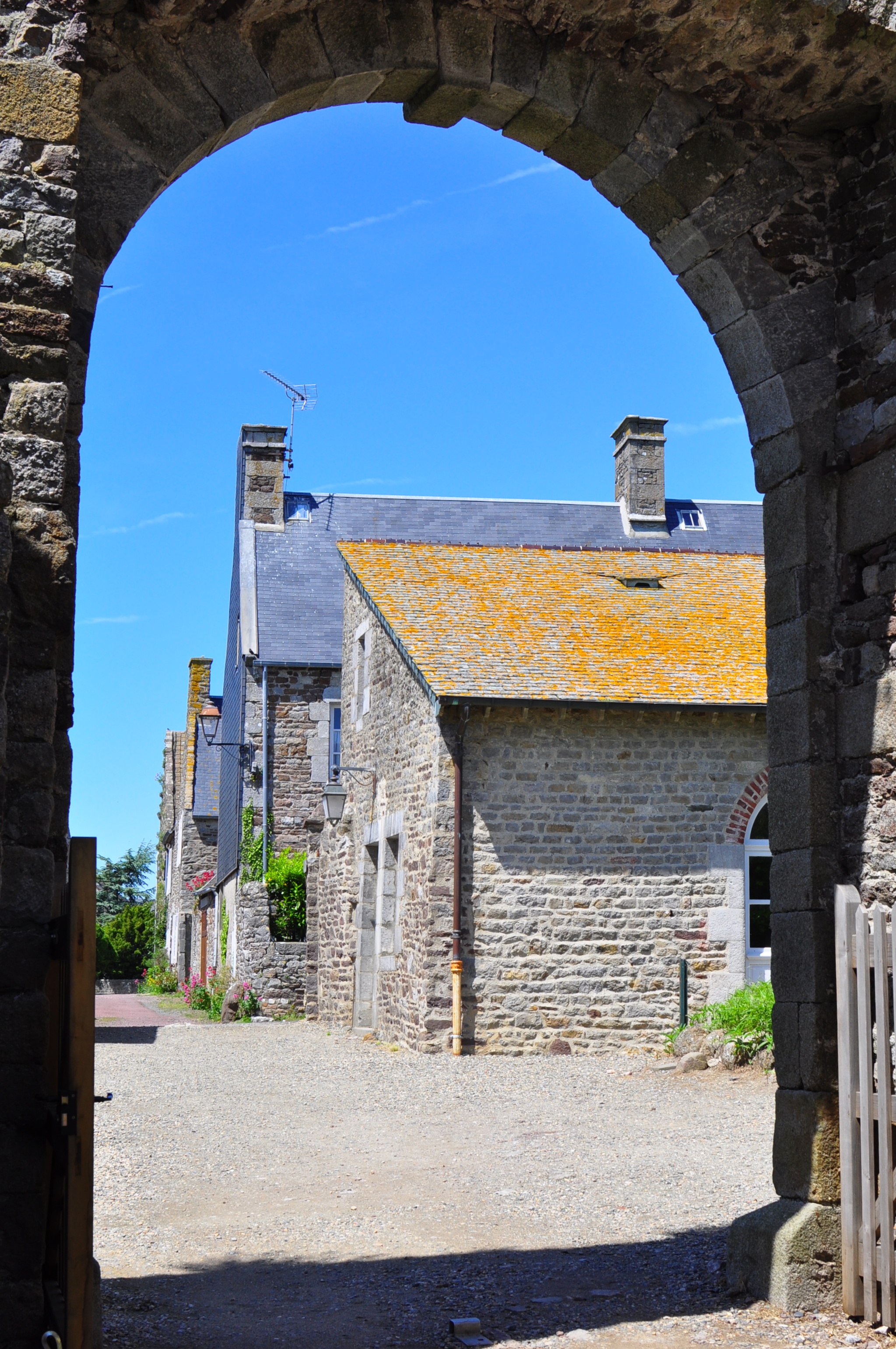
Chaux de Rey: Archway View
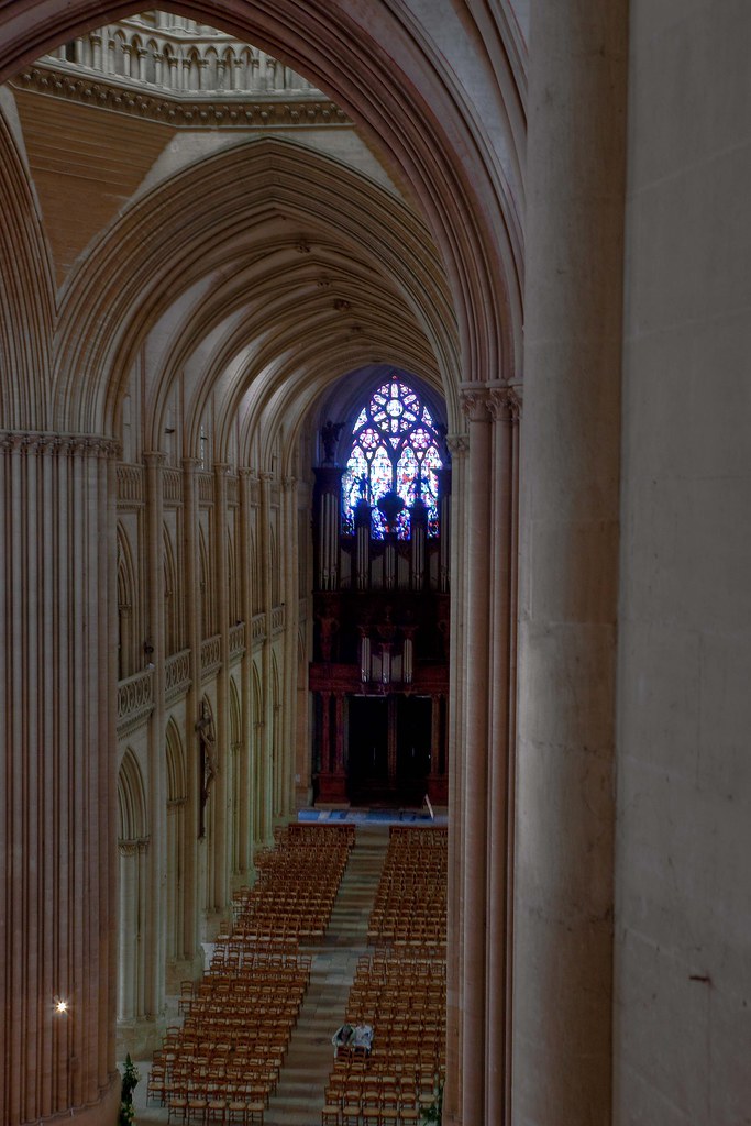
Coutances Cathedral - View of the Nave from the Clerestory Gallery
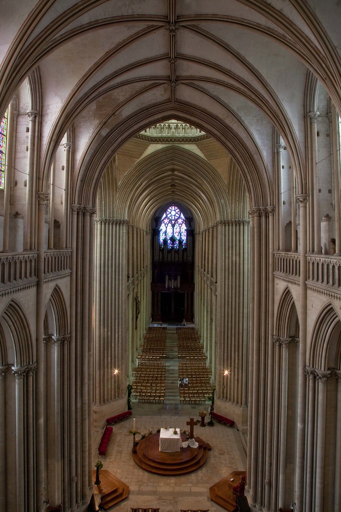
Coutances Cathedral - The Choir & Nave View from the Gallery

Chateau de Gratot: Tower View

120411 Suisse Normandie 017

Coutances Cathedral

Those were the days...

Chateau de Gratot: Tower View
Coutances Cathedral
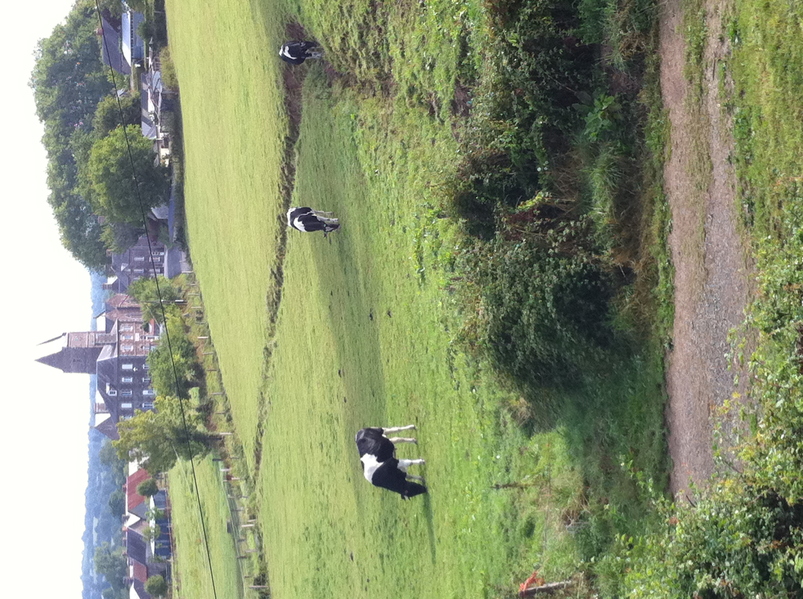
View from Gite
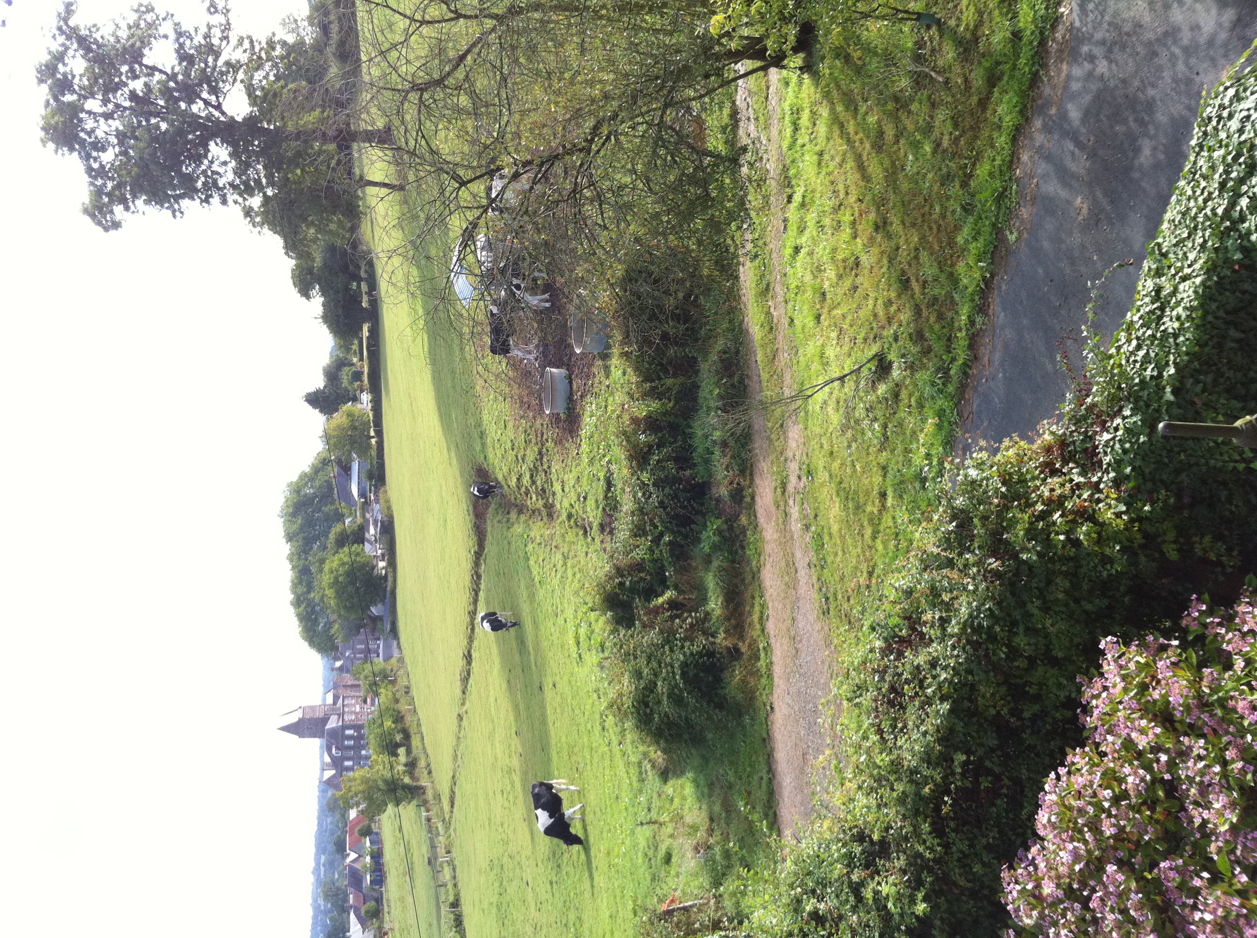
Morning view
Dinner with an ocean view.

View from bedroom window

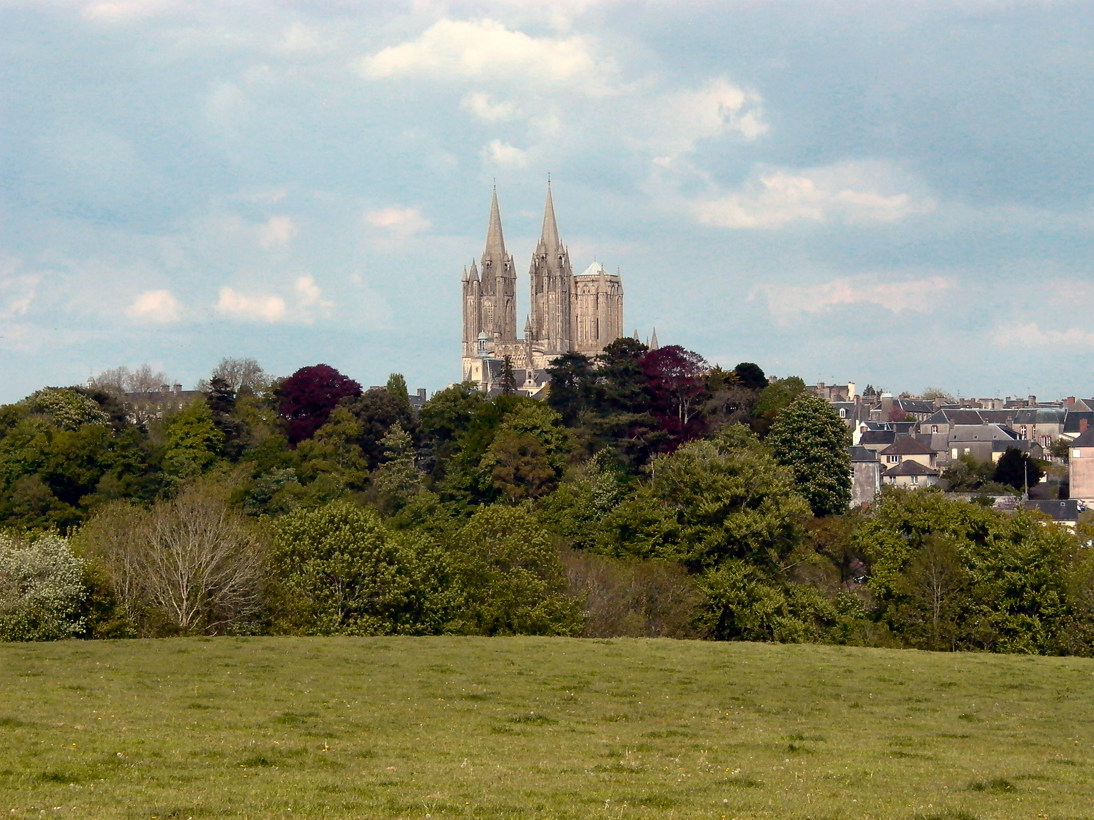
a view of Coutances, Normandy, France. (from the south)
Topographic Map of 8 Rue des Fours À Chaux, Orval, France
Find elevation by address:

Places near 8 Rue des Fours À Chaux, Orval, France:
Saussey
Orval
Coutances
Lingreville
33 Rue des Maraîchers, Lingreville, France
Rue de l'Amiral, Tourville-sur-Sienne, France
Tourville-sur-sienne
Bréhal
5 L'Etorrerie, Hudimesnil, France
17 Rue du Viverot, Le Loreur, France
5 La Blinière, Bréhal, France
Muneville-le-bingard
Le Loreur
Coudeville-sur-mer
Hudimesnil
1 Le Haut du Bingard, Muneville-le-Bingard, France
51 La Rivière, Coudeville-sur-Mer, France
Saint-jean-des-champs
5 Rue Gustave Flaubert, Saint-Jean-des-Champs, France
Le Noyer
Recent Searches:
- Elevation of Corso Fratelli Cairoli, 35, Macerata MC, Italy
- Elevation of Tallevast Rd, Sarasota, FL, USA
- Elevation of 4th St E, Sonoma, CA, USA
- Elevation of Black Hollow Rd, Pennsdale, PA, USA
- Elevation of Oakland Ave, Williamsport, PA, USA
- Elevation of Pedrógão Grande, Portugal
- Elevation of Klee Dr, Martinsburg, WV, USA
- Elevation of Via Roma, Pieranica CR, Italy
- Elevation of Tavkvetili Mountain, Georgia
- Elevation of Hartfords Bluff Cir, Mt Pleasant, SC, USA