Elevation of 8 Hillcrest Dr, Winchester, KY, USA

Location: United States > Kentucky > Clark County > Winchester >

Longitude: -84.204676

Latitude: 37.9693094

Elevation: 281m / 922feet

Barometric Pressure: 98KPa

Elevation Map:

elevation map of 8 Hillcrest Dr, Winchester, KY, USA

Satellite Map:

Satellite map of 8 Hillcrest Dr, Winchester, KY, USA

Related Photos:

abandoned rrdotc utata:enddesc= utata:project=tw89 rrdotcgallery
The Catbird Seat
2005 lexington kentucky clarkcounty sidwelllane
Off the Front Porch
fog river boats unitedstates kentucky canoes winchester kentuckyriver boonesborough fortboonesboroughstatepark riverblast2014
A Foggy Boonesborough Morning
fog river boats unitedstates kentucky canoes winchester kentuckyriver boonesborough fortboonesboroughstatepark riverblast2014
Kentucky River Blast 2014
fog river boats unitedstates kentucky canoes winchester kentuckyriver boonesborough fortboonesboroughstatepark riverblast2014
Kentucky River Blast 2014
fog river boats unitedstates kentucky canoes winchester kentuckyriver boonesborough fortboonesboroughstatepark riverblast2014
Kentucky River Blast 2014
county west virginia kentucky clark dulcimer picsapril2012
Pilot View, Clark Co., KY
2005 autumn house lexington kentucky clarkcounty sidwelllane
The Falling-Down House
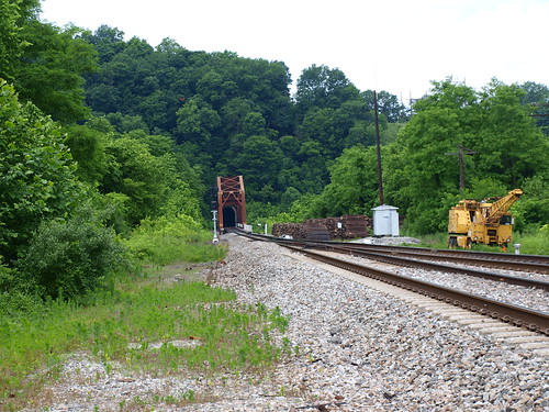
kentucky ironbridge clarkcounty trussbridge
Unknown railroad truss bridge, Clark County, KY
2005 lexington kentucky clarkcounty sidwelllane
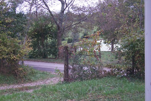
Off the Front Porch
2005 lexington kentucky clarkcounty sidwelllane
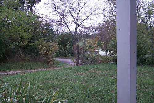
Off the Front Porch
nasanationalassociationofscalemodelerslexington kentuckyscalercairplaneaircraftradiocontrolclcontrolline2015nasascaleclassic
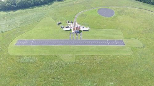
overhead view of field
fog river boats unitedstates kentucky canoes winchester kentuckyriver boonesborough fortboonesboroughstatepark riverblast2014
Kentucky River Blast 2014
imgp4343pedited1
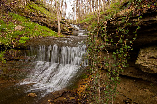
Small cascading creek running into the Kentucky River near Boonesboro, KY
film 645 kodak lexington kentucky bronica 100 120mm ektar etrs
Boone Creek
square squareformat iphoneography instagramapp uploaded:by=instagram
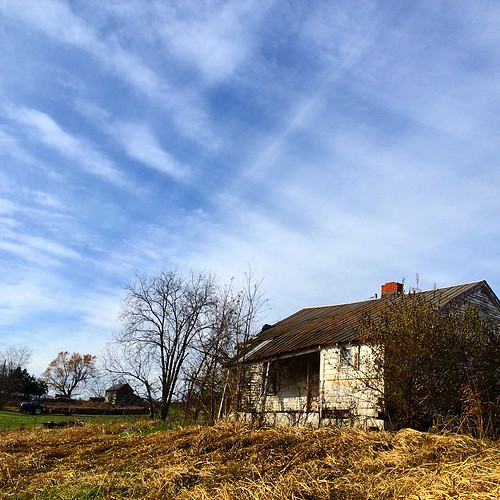
Old #farmhouse in #centralky original shot in color #sky #clouds
green field clouds landscape farm tobacco canon40d peachesandolivia
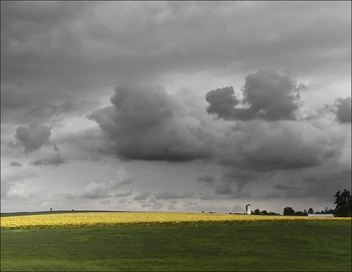
Kentucky Tobacco Field
blue river landscape kentucky
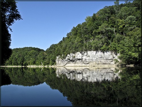
The Palisades on the Kentucky River
canon kentucky stonefence
Stone Fence 1
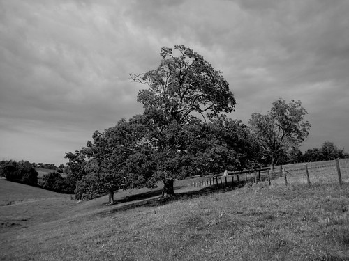
blackandwhite bw white black tree rural landscape farm kentucky hill
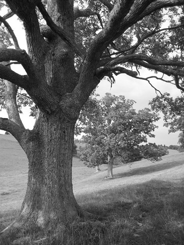
Carolyn's farm
kentucky
Pioneer Forage Trail-9137
blackandwhite bw white black tree rural fence landscape farm kentucky hill
Carolyn's farm
county west virginia kentucky clark dulcimer picsapril2012
Cloudy Sunrise, Clark County, KY
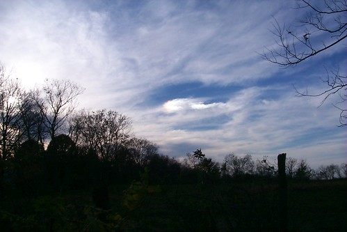
2005 autumn trees sky lexington kentucky clarkcounty
Sun Dog
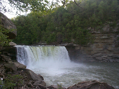
kentucky parks waterfalls rivers cumberlandfalls cumberlandriver stateparks greatoutdoors
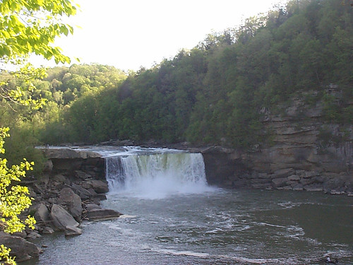
Cumberland Falls
sky clouds sunrise landscape
Morning has broken
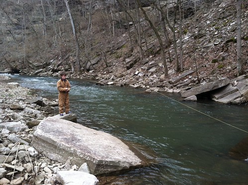
Learning to fly fish!
kentucky parks waterfalls rivers cumberlandfalls cumberlandriver stateparks greatoutdoors
Cumberland Falls
history kentucky ky pools rivers kentuckyriver boonesboro lockpool lockdam10 kentuckyrivermuseum riverlocksdams kentuckywaterways
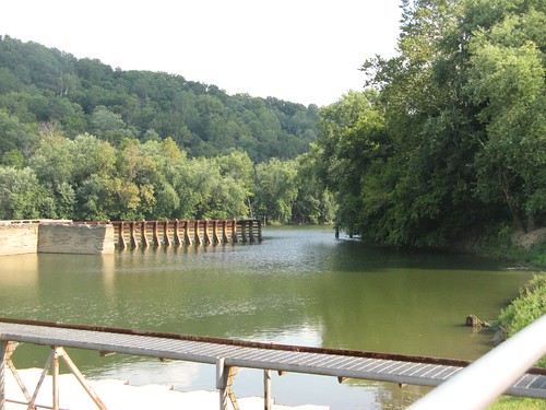
The lock pool
trees grass 10232010
Passing Landscape near Morehead
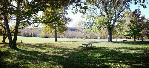
park nature landscape flickrandroidapp:filter=rome
A Day at the Park
history kentucky ky holes boonesboro lockdam10 kentuckyrivermuseum groundhogshole riverlocksdams kentuckywaterways
One of the ground hog's holes
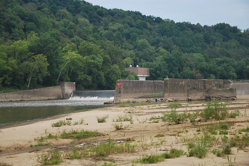
usa unitedstates kentucky richmond rivers mississippiriver ohioriver madisoncounty kentuckyriver fortboonesboroughstatepark
Kentucky River Lock & Dam