Elevation of 89 Hoopuloa Farms Rd, Captain Cook, HI, USA
Location: United States > Hawaii > Hawaii County > South Kona > Captain Cook >
Longitude: -155.87267
Latitude: 19.1951122
Elevation: -10000m / -32808feet
Barometric Pressure: 295KPa
Elevation Map:
Satellite Map:
Related Photos:

HAWAIIAN NIGHTS

Big Island Hawaii Beauty

Ocean View Estates views

James Obet David

ri-Majol, Big Island, Hawaii

ri-Majol, Big Island, Hawaii

Boo!

l06.jpg

Akia, Wikstroemia sp. (W. phillyreifolia?)

Yellow-fronted Canary (Crithagra mozambica)

l04.jpg

l05.jpg

l07.jpg

My #AsianGirl #friend went to the #bigIsland ( #Hawaii ) and sent me #pictures ????♀️????????????????????♀️

Prime real estate

3-9-2-162-31, Hawaii Ocean View Estates lot is opposite side of Catamaran Lane from power lines_edited-1

3-9-2-162-31, Hawaii Ocean View Estates, walked onto lot, took picture toward far end of lot_edited-1

Kona Coast Sunset

3-9-2-162-31, Hawaii Ocean View Estates with Ohia Lehua flower

_DSC3254.jpg

moths, Oean View Estates, Hawaii

A'ama crab (Grapsus tenuicrustatus), Honomalino Beach, Miloli'i_3_10262015

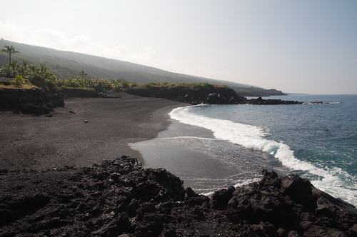
Honomalino Beach, Miloli'i, Hawaii_3_10262015

Big Island West Coastline (504460)

1.19.19.

1.19.19.

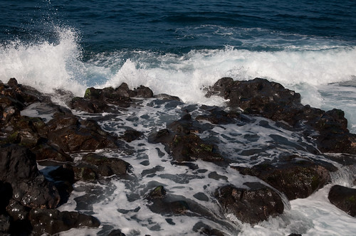
Waves At Pebble Beach

1.19.19.
pebble beach

Bodhi tree.

Black Pebble Beach
pebble beach
pebble beach

Honomalino Bay

Identify this cactus?

PEBBLE BEACH
Topographic Map of 89 Hoopuloa Farms Rd, Captain Cook, HI, USA
Find elevation by address:

Places near 89 Hoopuloa Farms Rd, Captain Cook, HI, USA:
89-1260 Mamalahoa Hwy
89-1260 Old Mamalahoa Hwy
88-2619
88-2665 Honomalino Dr
88-2830 Honomalino Dr
Ho'omau Ranch
1 Old Mamalahoa Hwy
88-1584 Moana Dr
88-544 Papa Bay Dr
88-1650
89-925 Hawaii Belt Rd
88-139 Aoao Ave
Milolii
89-1691
87-2764 Mamalahoa Hwy
87-2900 Mamalahoa Hwy
87-3148 Manana
87-370 Kaohe Mauka Rd
87-368 Kaohe Mauka Rd
87-410 Kaohe Mauka Rd
Recent Searches:
- Elevation of Corso Fratelli Cairoli, 35, Macerata MC, Italy
- Elevation of Tallevast Rd, Sarasota, FL, USA
- Elevation of 4th St E, Sonoma, CA, USA
- Elevation of Black Hollow Rd, Pennsdale, PA, USA
- Elevation of Oakland Ave, Williamsport, PA, USA
- Elevation of Pedrógão Grande, Portugal
- Elevation of Klee Dr, Martinsburg, WV, USA
- Elevation of Via Roma, Pieranica CR, Italy
- Elevation of Tavkvetili Mountain, Georgia
- Elevation of Hartfords Bluff Cir, Mt Pleasant, SC, USA