Elevation of 88 At the Elms, Regent St, Excelsior Springs, MO, USA

Location: United States > Missouri > Ray County > Fishing River Township > Excelsior Springs >

Longitude: -94.226211

Latitude: 39.3371028

Elevation: -10000m / -32808feet

Barometric Pressure: 295KPa

Elevation Map:

elevation map of 88 At the Elms, Regent St, Excelsior Springs, MO, USA

Satellite Map:

Satellite map of 88 At the Elms, Regent St, Excelsior Springs, MO, USA

Related Photos:

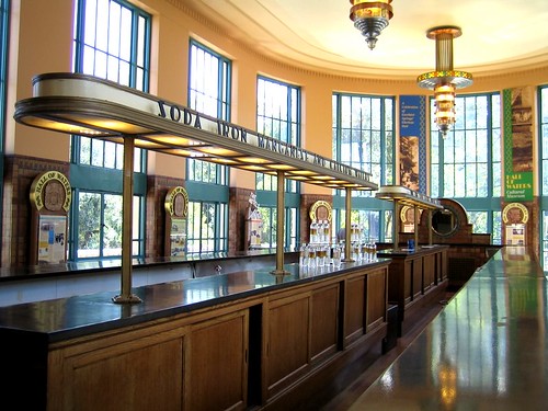
1936 1930s missouri artdeco wpa hallofwaters excelsiorsprings
the water bar in the Hall of Waters
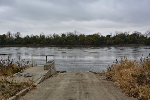
nikon d7100 usa missouri missouricity cooleylake conservationarea mo210 trees gravel missouririver water day cloudy boatramp viewingplatform current 110206361f
110206-361F
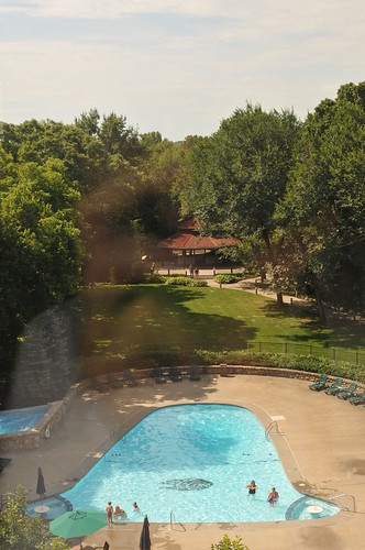
resort missouri excelsiorsprings theelmsspa
Nice pool deck view
Black Sun
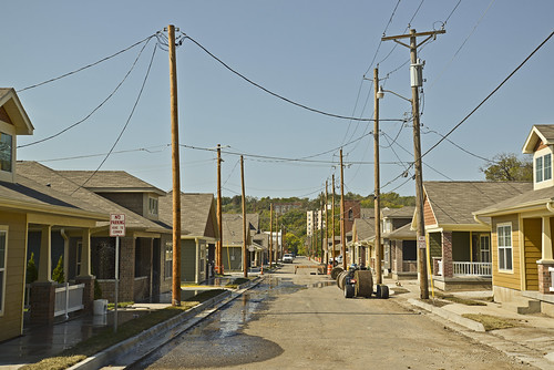
usa town nikon midwest downtown powerlines missouri mineral sulphur restoration rebirth puddles relfections hotsprings excelsiorsprings porches d600 westview nikond600
New Town Rises
1936 1930s missouri artdeco wpa hallofwaters excelsiorsprings
the water bar in the Hall of Waters
missouri excelsiorspringsmo
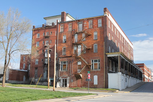
Royal Hotel (rear view) - Excelsior Springs, MO
missouri excelsiorspringsmo
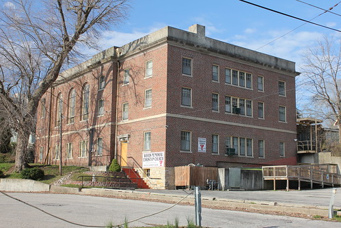
Woods Memorial Christian Church (rear view) - Excelsior Springs, MO
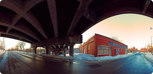
old panorama building vintage nikon pano garage panoramic mo missouri 1855mm roadside excelsiorsprings bennettgarage d5000 pse8
Highway & Byway
park mill bike kids scott children state beck missouri watkins scottbeckphotography
Starting Line
house liberty missouri historichome
Donald Pharis house
house liberty farm farming missouri historichome 1930
Pharis Farm Aug 1930
resort missouri excelsiorsprings theelmsspa
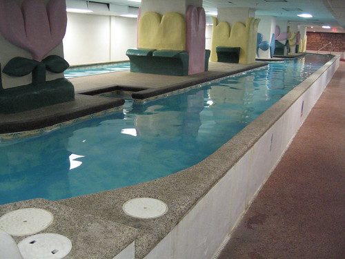
Lap pool view
resort missouri excelsiorsprings theelmsspa
Lap pool view
resort missouri excelsiorsprings theelmsspa
Pool rail view
house liberty missouri historichome
Bell-Pharis Home
resort missouri excelsiorsprings theelmsspa
Lap pool view
liberty farm missouri fields 1928
View from top of house June 1928
snow liberty farm missouri fields 1945
Feb 1945 landscape looking south
Pharis Farm bedroom
bridges missouri us69
Side View: Fishing River Bridge
usa snow field frozen cattle cows freezing missouri fenced range dinnertime utters utterly claycounty blackcows fotoedge abigfave
UDDERLY FREEZING
Hazy Sunset
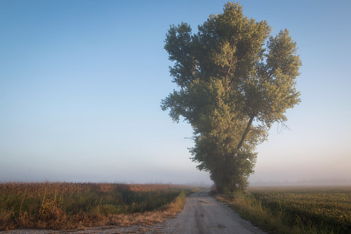
cottonwood fog missouri river floodplain valley gravel morning mo
Fog on South Union Road
nikon d7100 usa missouri excelsiorsprings landscape gravel brook stream water tree shrub leaves autumncolors 110206373f
110206-373F
Fog in the Missouri River Floodplain
Easter Morning on the River
Cottonwood Tree
Black Friday Morning
Riverine Landscape
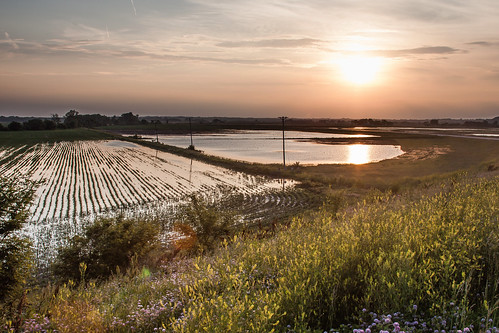
sunset field river evening spring big corn ditch flood bend cloudy dusk farm wildlife mo national missouri bottoms plain muddy seedling jackass refuge unit orrick bottomland
Flooded Ditch
Thaw on the Riverbank
nikon d7100 usa missouri missouricity cooleylake conservationarea mo210 trees gravel missouririver water day cloudy jetty shore 110206362f
110206-362F
Pond in the Floodplain
Cooley Lake Overlook
sun field grass river rumble fishing corn highway glare flood farm pole mo route missouri strip shoulder 210 orrick ulility
Highway 210
Checkerboard Sky
Dawn at the Levee
railroad river rail mo missouri gravel floodplain
South Union Road Crossing
Flooded Corn Field
Flooded Corn Field