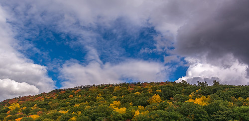
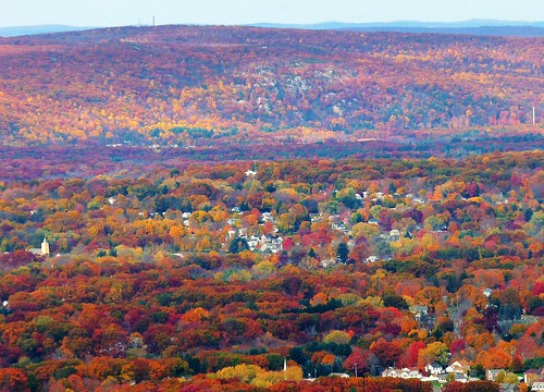
Elevation of 87 MacIntosh Way, Southington, CT, USA
Location: United States > Connecticut > Hartford County > Southington >
Longitude: -72.856525
Latitude: 41.6243686
Elevation: 71m / 233feet
Barometric Pressure: 100KPa
Related Photos:
Topographic Map of 87 MacIntosh Way, Southington, CT, USA
Find elevation by address:

Places near 87 MacIntosh Way, Southington, CT, USA:
46 Brookwood Dr
Pleasant Street
46 Flanders St, Southington, CT, USA
Midas
86 Queen St
50 Spring St
64 Knights Ct
1003 Shuttle Meadow Rd
Spring Street
50 Lucy Ct
Southington
22 Summit Farms Rd
235 East St
510 Meriden Ave
Meriden Ave, Southington, CT, USA
865 W Queen St
290 Copper Ridge
270 Blue Hills Dr
75 Cloverdale Rd
110 Main St
Recent Searches:
- Elevation of Corso Fratelli Cairoli, 35, Macerata MC, Italy
- Elevation of Tallevast Rd, Sarasota, FL, USA
- Elevation of 4th St E, Sonoma, CA, USA
- Elevation of Black Hollow Rd, Pennsdale, PA, USA
- Elevation of Oakland Ave, Williamsport, PA, USA
- Elevation of Pedrógão Grande, Portugal
- Elevation of Klee Dr, Martinsburg, WV, USA
- Elevation of Via Roma, Pieranica CR, Italy
- Elevation of Tavkvetili Mountain, Georgia
- Elevation of Hartfords Bluff Cir, Mt Pleasant, SC, USA
