Elevation of 86 Harbour Key Dr, St Helena Island, SC, USA
Location: United States > South Carolina > Beaufort County > Saint Helena Island >
Longitude: -80.444815
Latitude: 32.402003
Elevation: 4m / 13feet
Barometric Pressure: 101KPa
Elevation Map:
Satellite Map:
Related Photos:
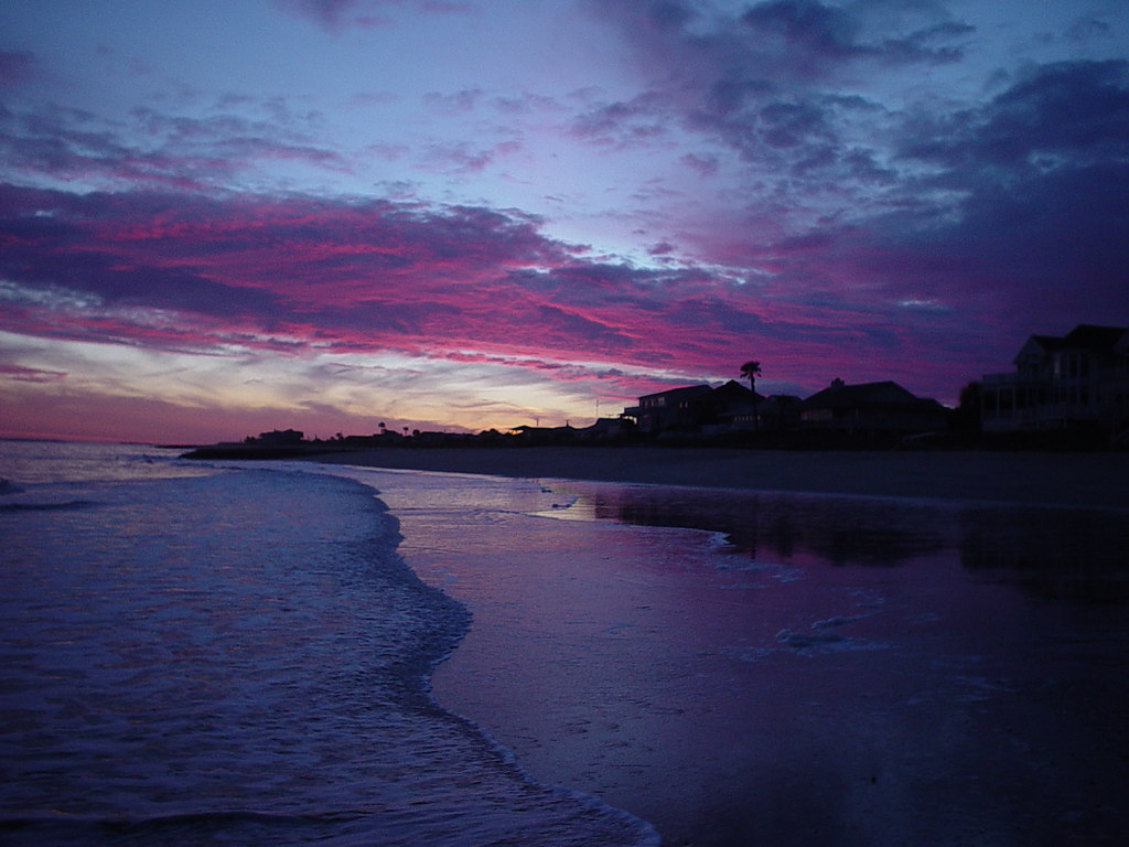
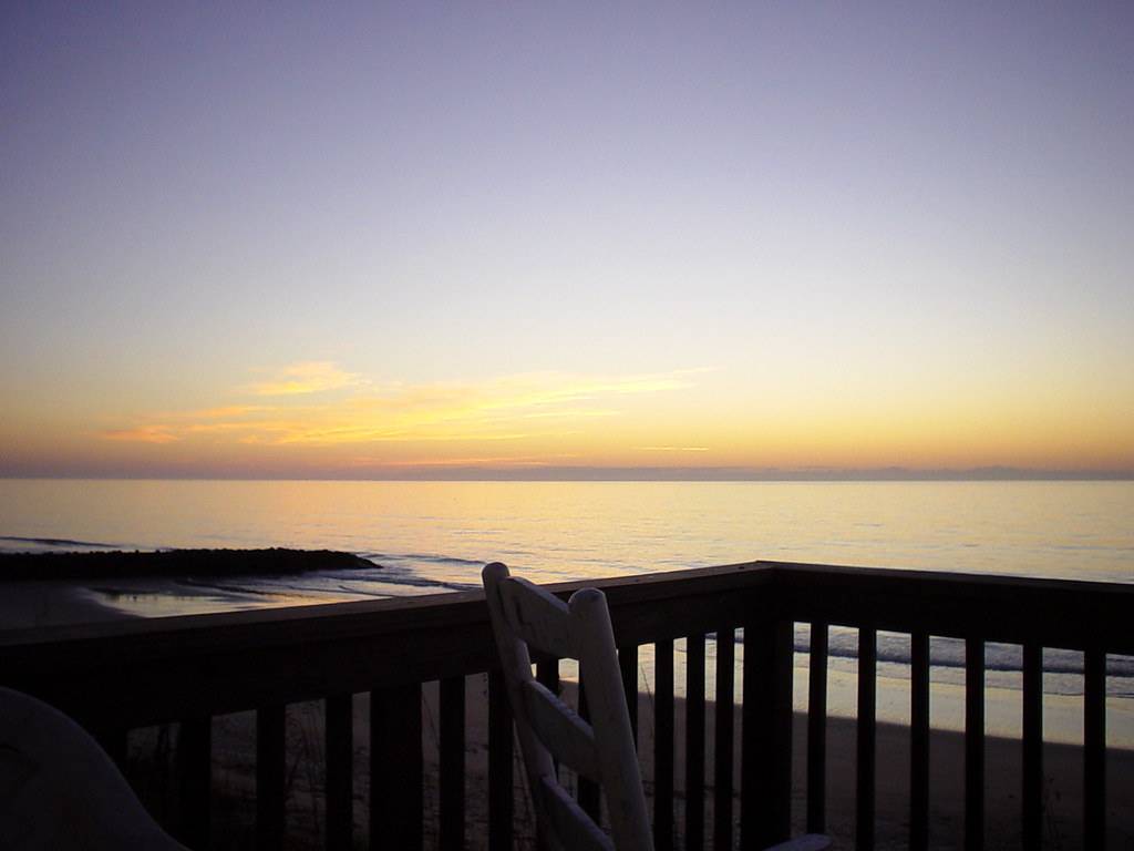
Dawn on Fripp Inlet
TrackHead Studios - Wide Open
TrackHead Studios - Hunting Island

TrackHead Studios - "I'm so confused."
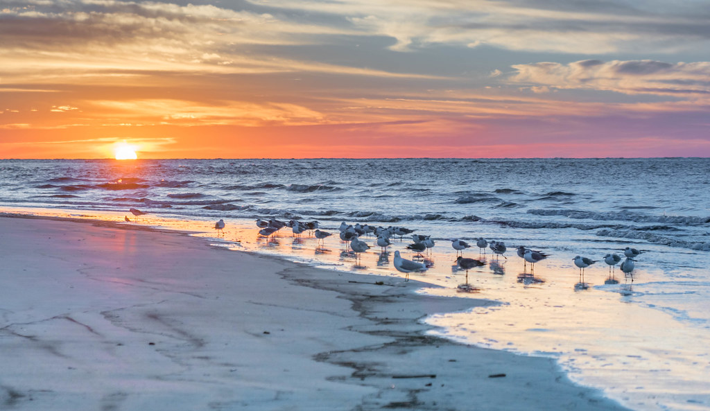
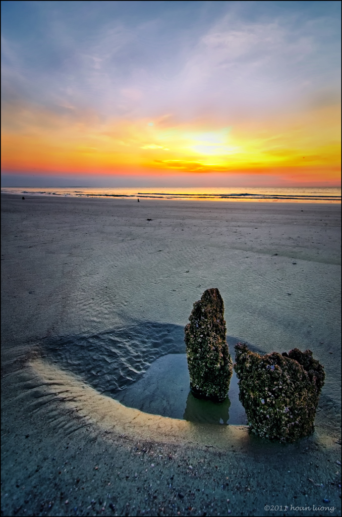
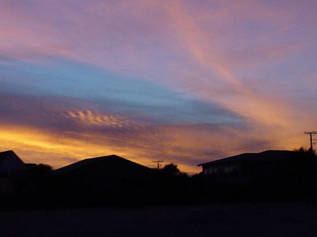
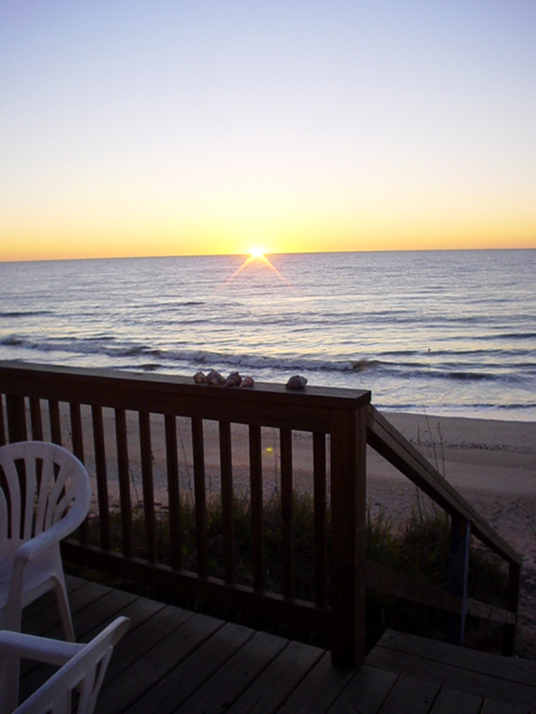
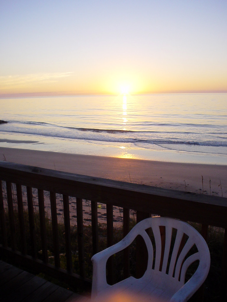
Sunrise on Hunting Island - Explored
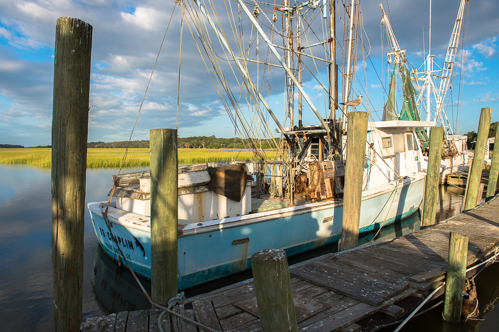
S.S. Chaplin

Hunting Island Lighthouse
Golden hour - calm, peace, tranquility, serenity, relaxation, passive, silence, contemplative

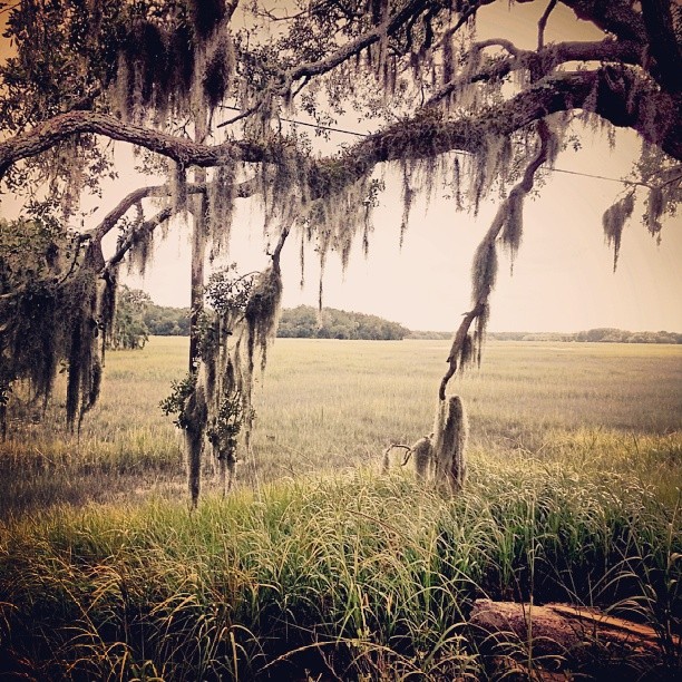
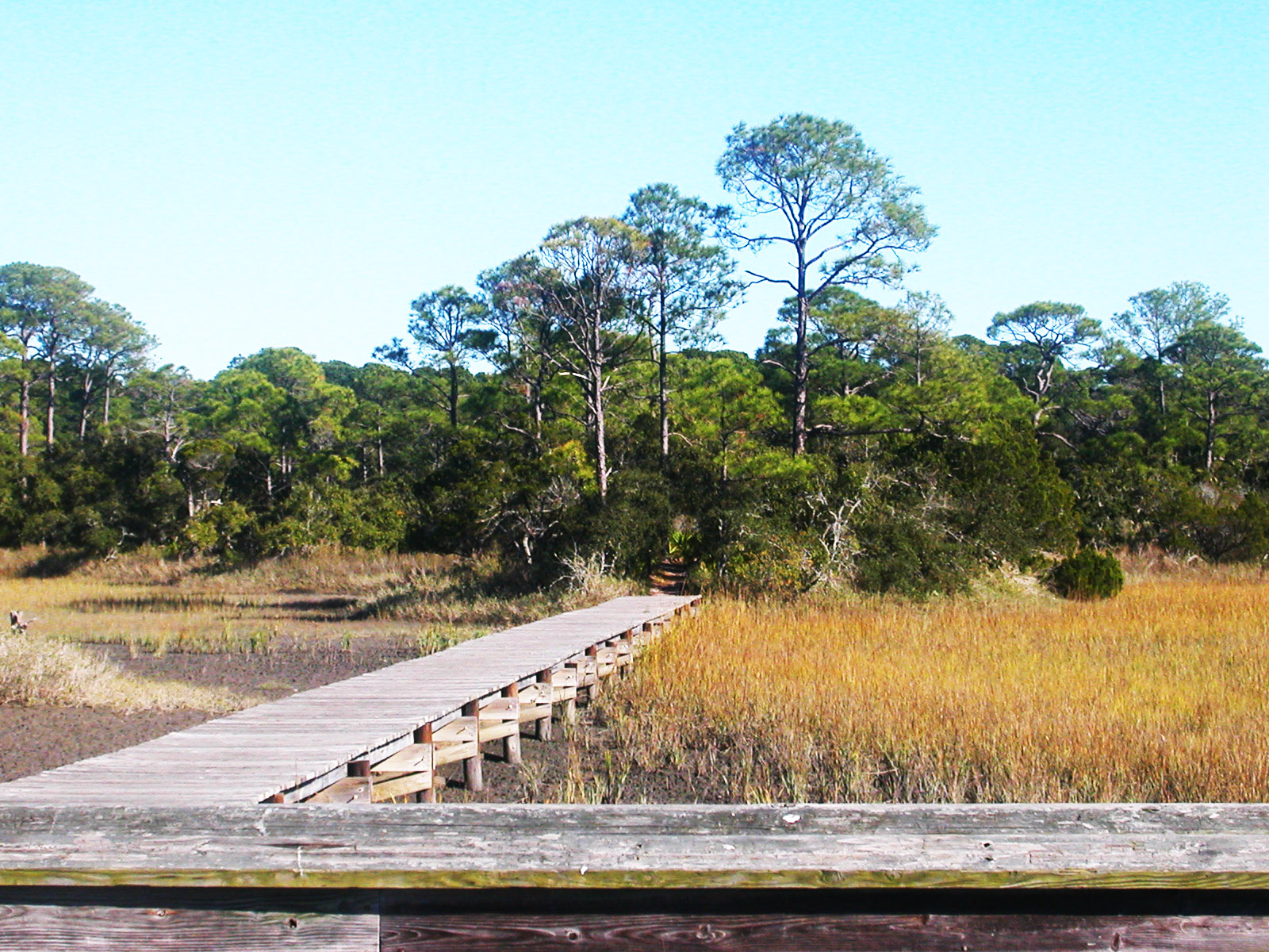
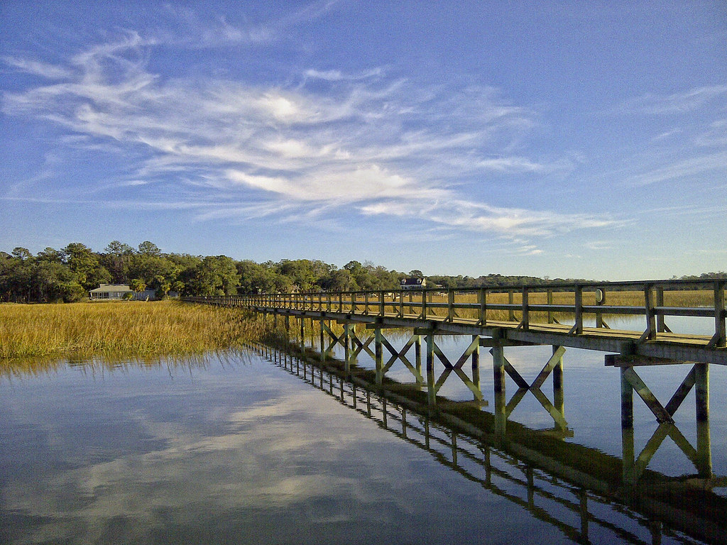
Boardwalk to the Marshy Island
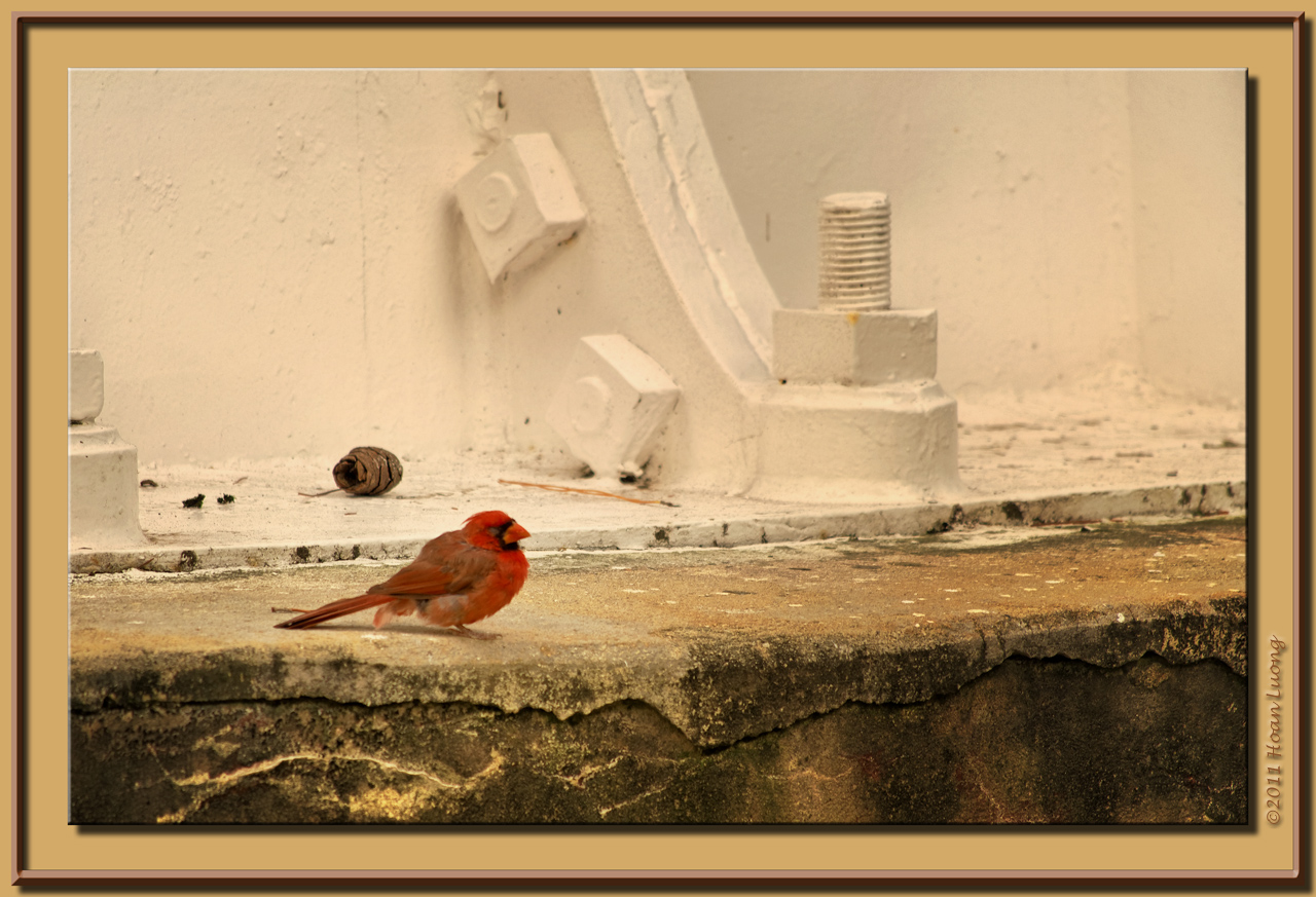
Nuts, bolts and the bird
Low Country lunch view at Foolish Frogs in St. Helena, SC.

TrackHead Studios - Taxi for the Runway
weed's eye view
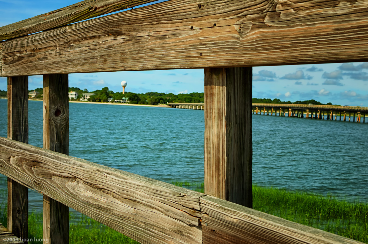
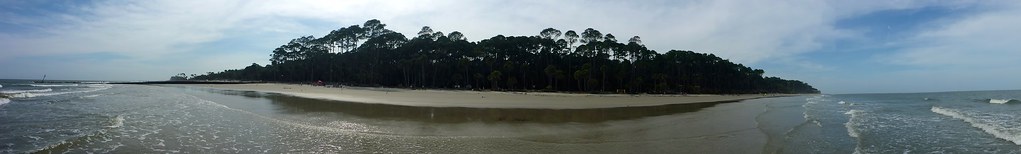
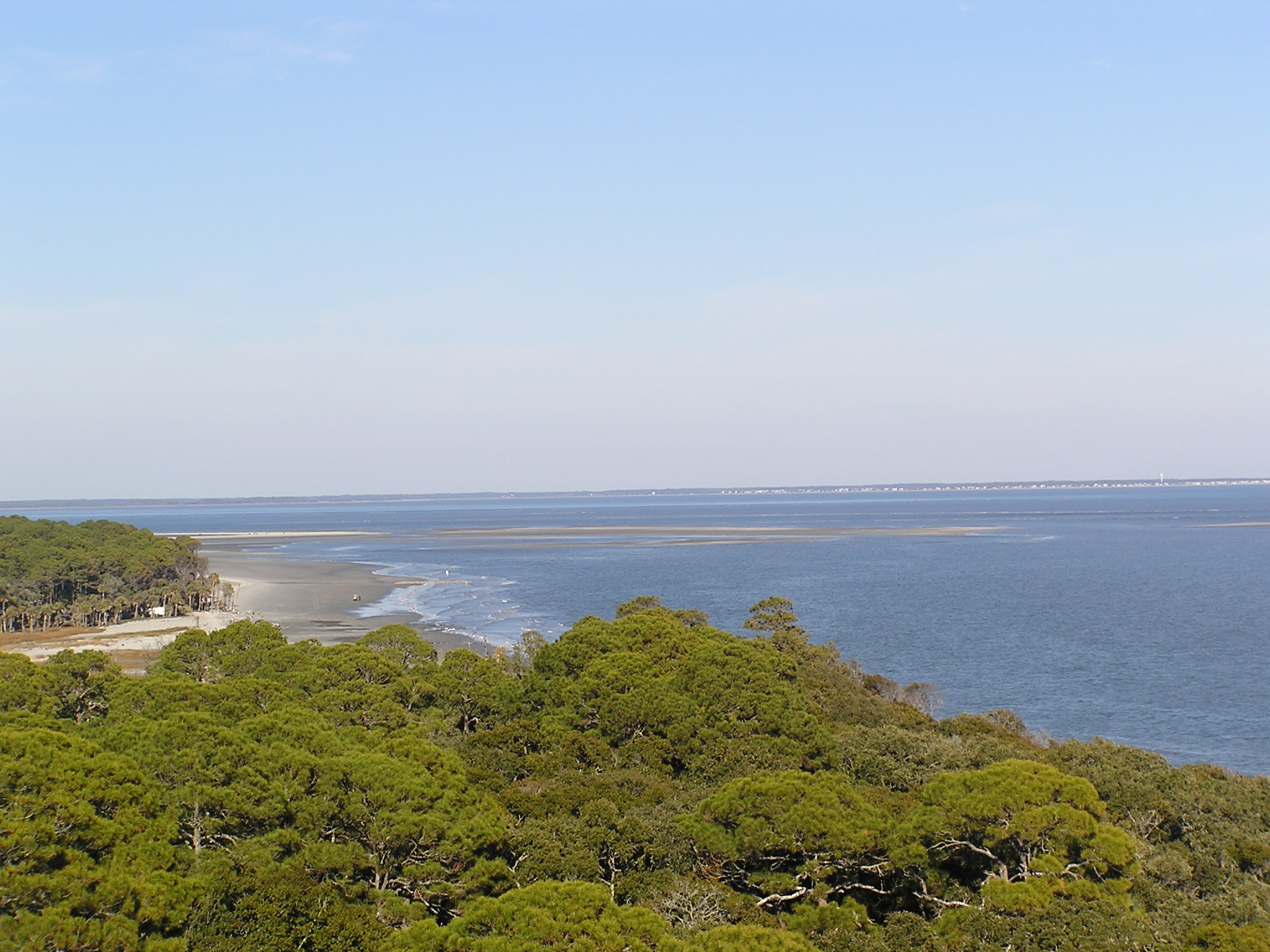
Fripp Island view from Nature Centre fishing pier
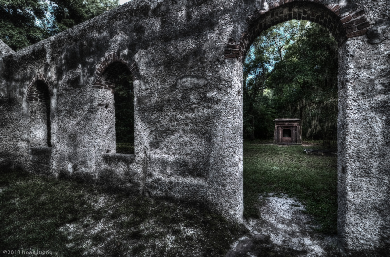
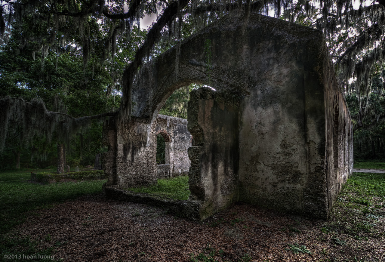
The crypt view from inside the chapel thru the right tabby wall
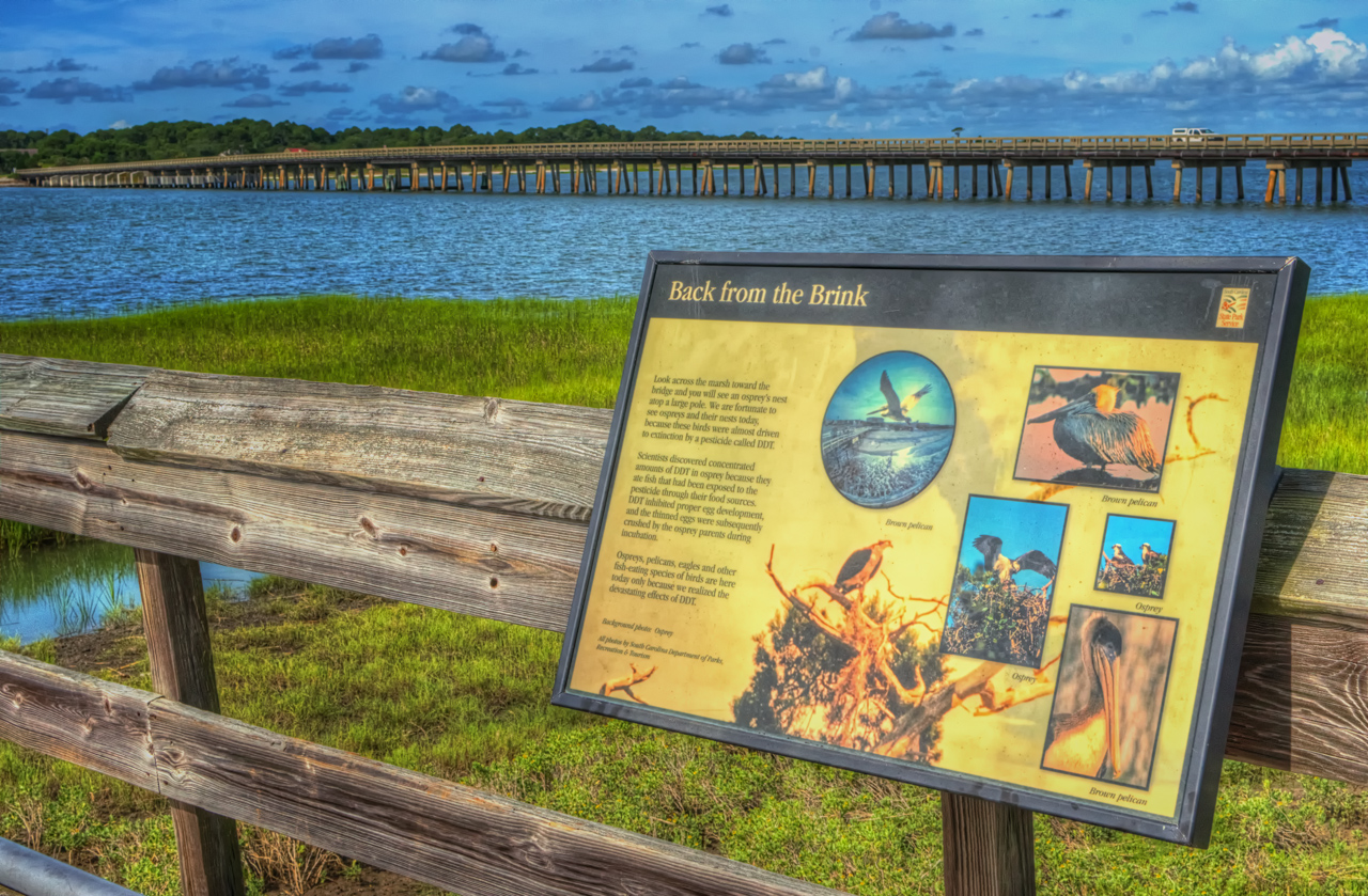
Ospreys, brown pelicans, eagles in harmony with their surroundings. View from Nature Center's pier fishing. Fripp Island bridge in the background.
Hunting Island marsh walk - 8
Beaufort, SC Hunting Island 020
Chapel view from backyard
edisto 11-14 61
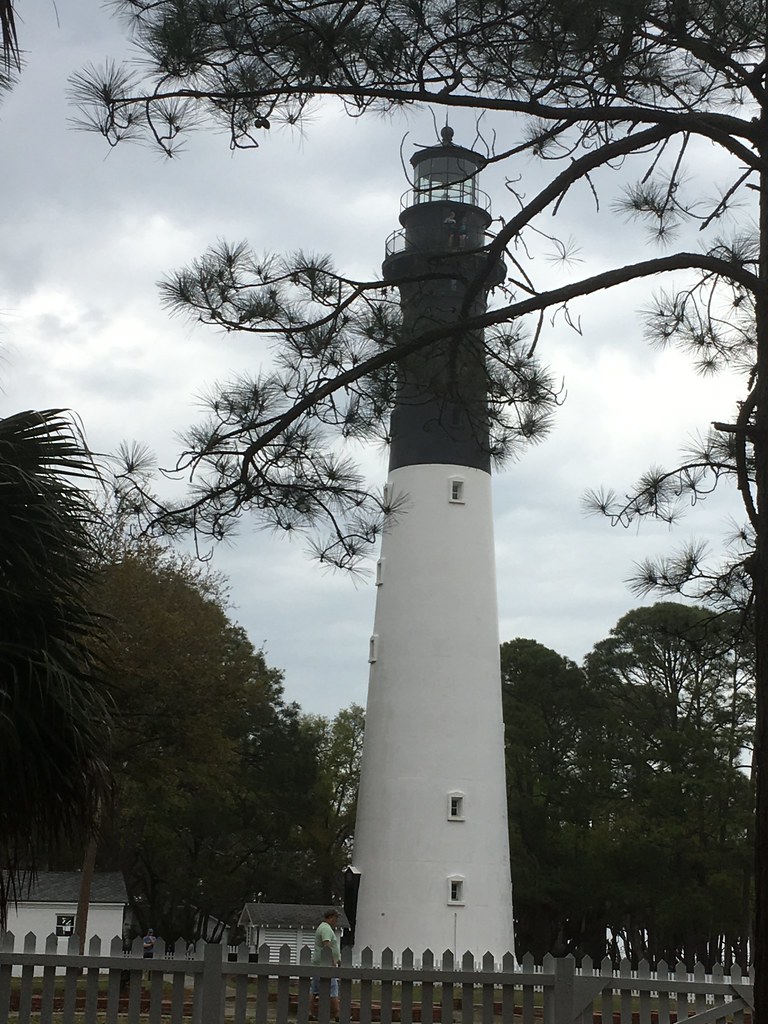
Light house on Hunting Island SC
Setting Moon
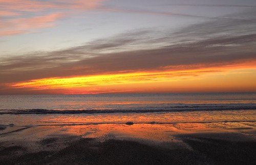
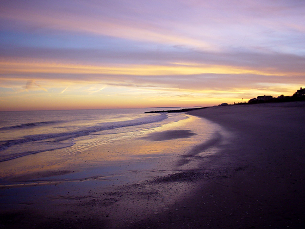
sunrise on hunting island
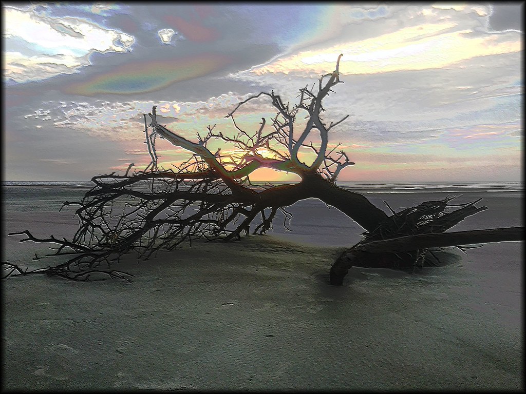
Beach Tree
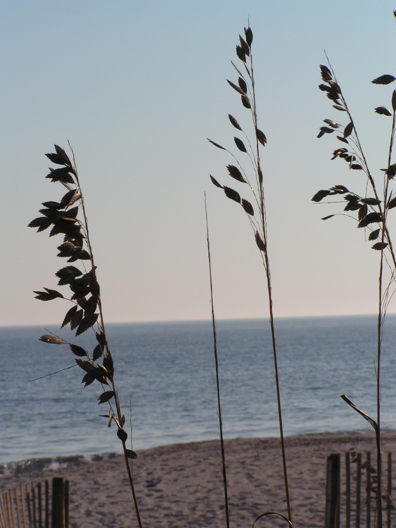
- EXPLORED - Saint Helena
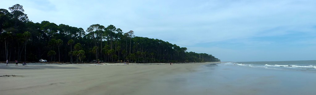
Hunting Island

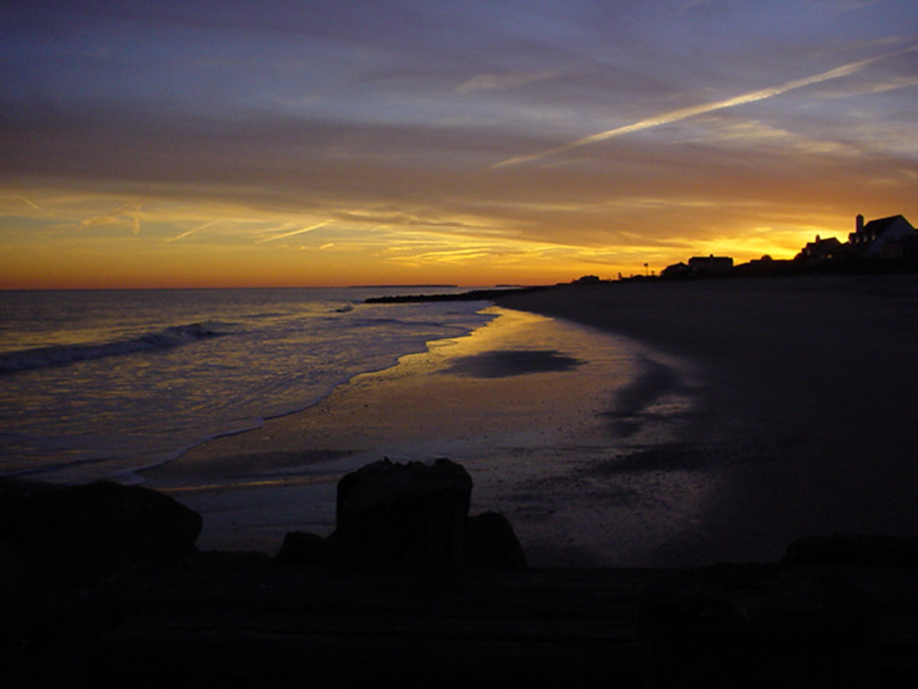
Sunset from the Pier
Sunset over Pritchard's
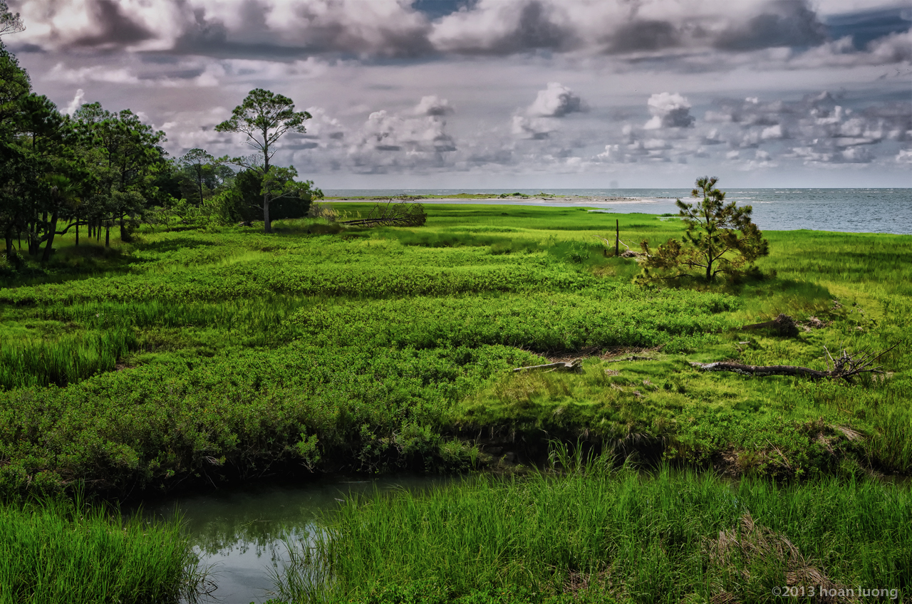
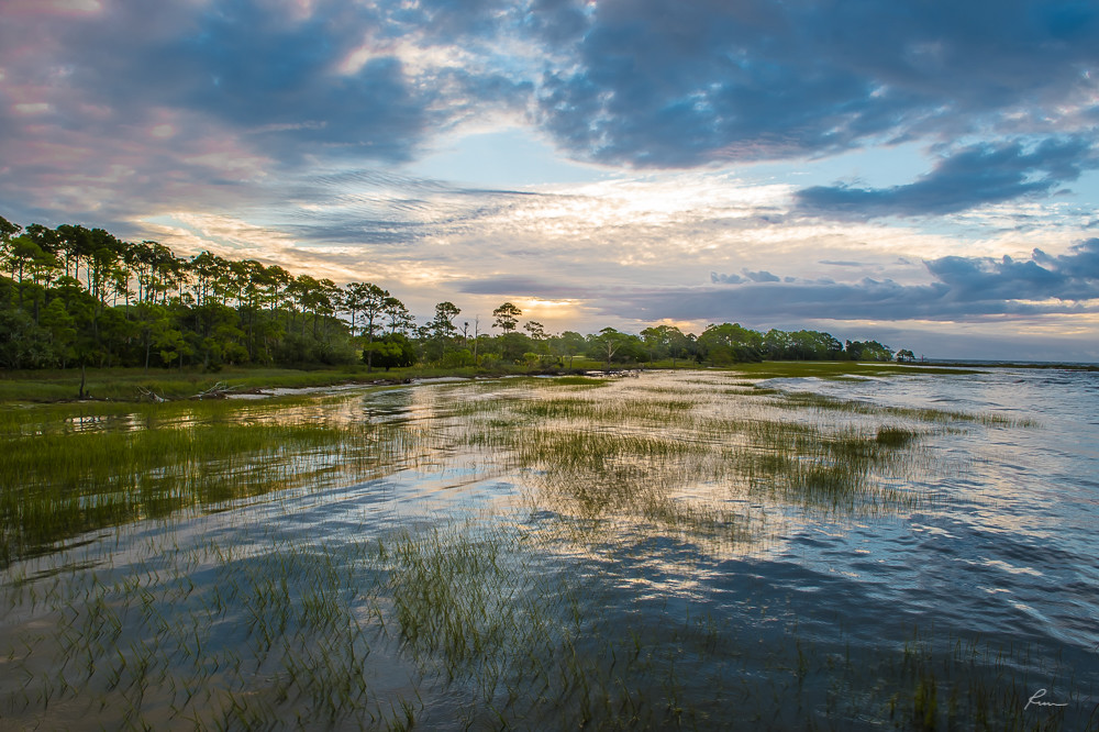
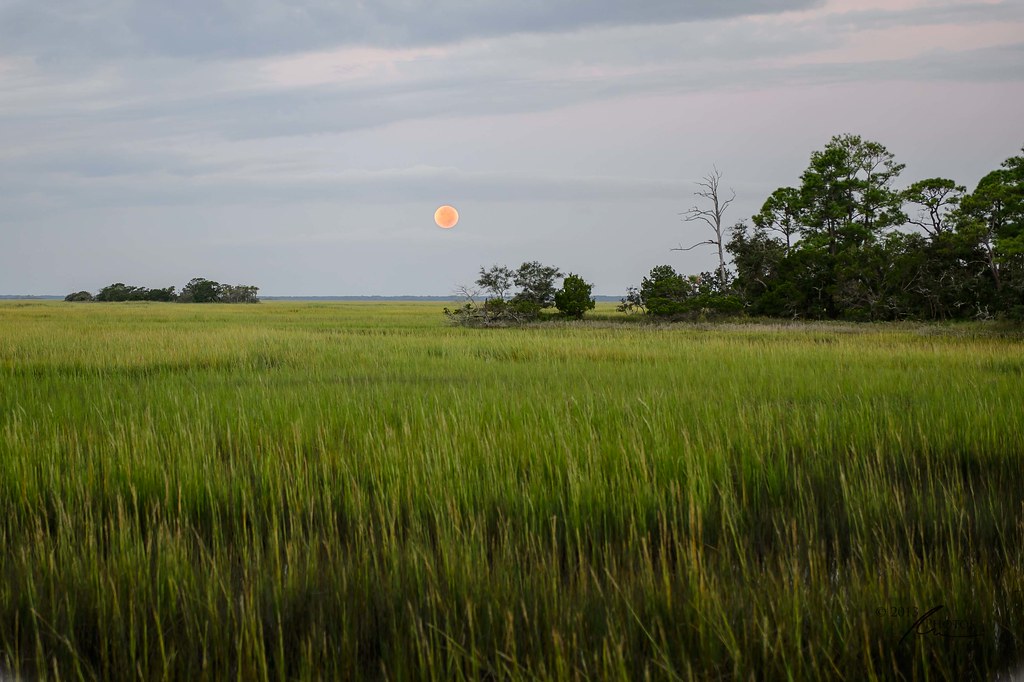
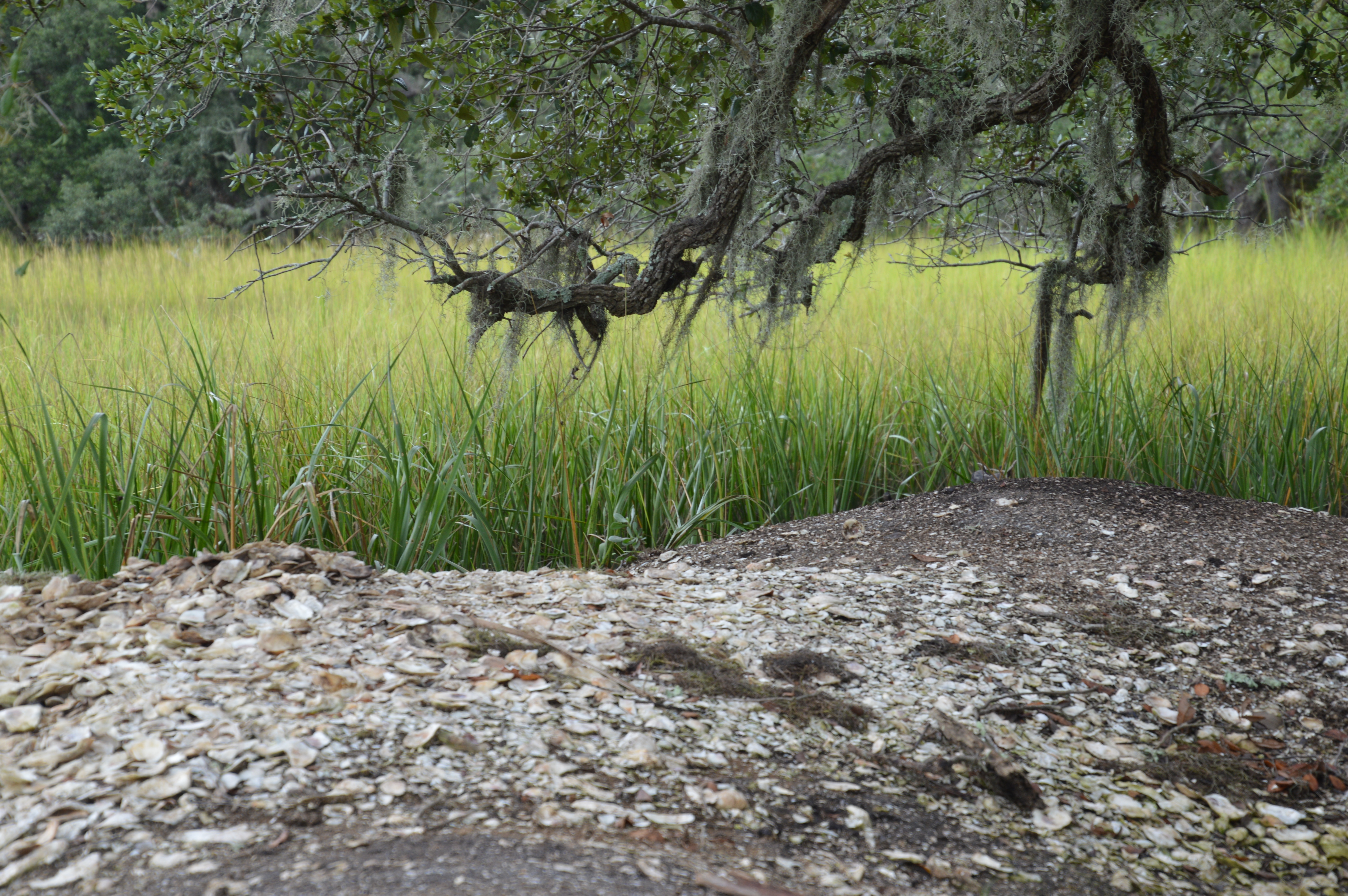
Hunting Island salt marsh
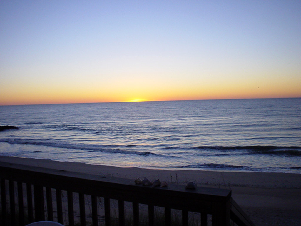
sunset glow
edisto 11-14 79
edisto 11-14 72
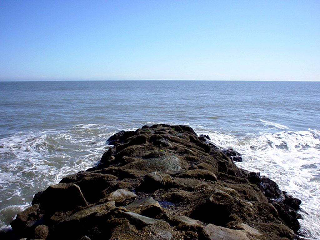
Spanish Mount Point
edisto 11-16 01
edisto 11-14 11
edisto 11-11 37
edisto 11-14 05

edisto 11-16 20
edisto 11-16 23
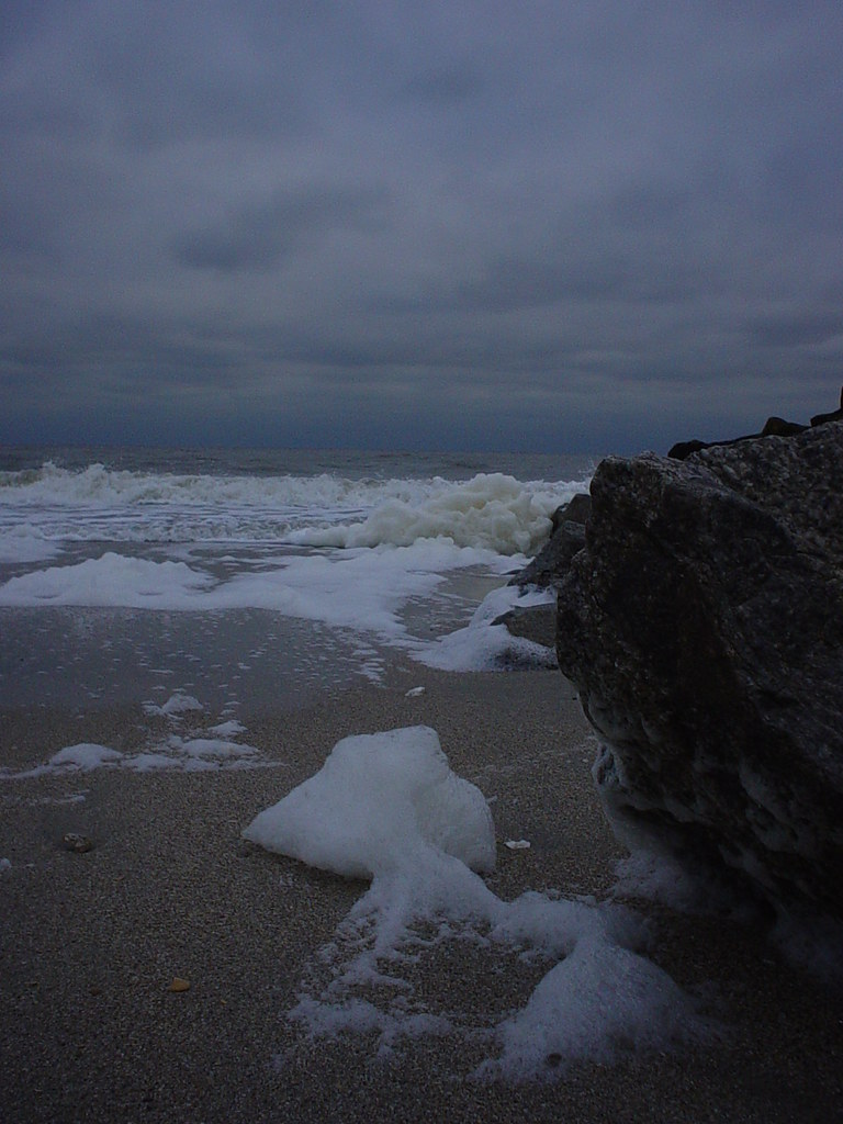
beach foam
edisto 11-14 67
Topographic Map of 86 Harbour Key Dr, St Helena Island, SC, USA
Find elevation by address:

Places near 86 Harbour Key Dr, St Helena Island, SC, USA:
3 W Marsh Dr
Key West Drive
4 Key West Drive
13 Ocean Marsh Ln
15 Ocean Marsh Ln
Fripp Island Golf & Beach Resort
21 Ocean Marsh Ln
63 Ocean Marsh Ln
53 Ocean Marsh Ln
59 Nautical Watch Way
13 Mickeys Alley
11 Sand Dollar Ct
8 Tradewind Ln
2 Shipwatch Dr
Harbor Island
119 Sea Pines Dr
118 Sea Pines Dr
83 Sea Pines Dr
81 Mcteer Dr
80 Mcteer Dr
Recent Searches:
- Elevation of Corso Fratelli Cairoli, 35, Macerata MC, Italy
- Elevation of Tallevast Rd, Sarasota, FL, USA
- Elevation of 4th St E, Sonoma, CA, USA
- Elevation of Black Hollow Rd, Pennsdale, PA, USA
- Elevation of Oakland Ave, Williamsport, PA, USA
- Elevation of Pedrógão Grande, Portugal
- Elevation of Klee Dr, Martinsburg, WV, USA
- Elevation of Via Roma, Pieranica CR, Italy
- Elevation of Tavkvetili Mountain, Georgia
- Elevation of Hartfords Bluff Cir, Mt Pleasant, SC, USA