Elevation of 83 Mile Creek Rd, 70 Mile House, BC V0K, Canada
Location: Canada > British Columbia > Thompson-nicola > Thompson-nicola E > 70 Mile House >
Longitude: -121.27251
Latitude: 51.4001808
Elevation: 1083m / 3553feet
Barometric Pressure: 89KPa
Elevation Map:
Satellite Map:
Related Photos:
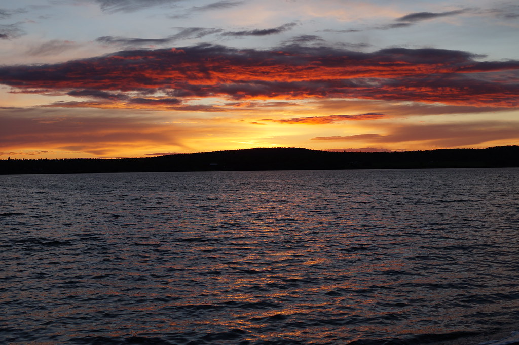
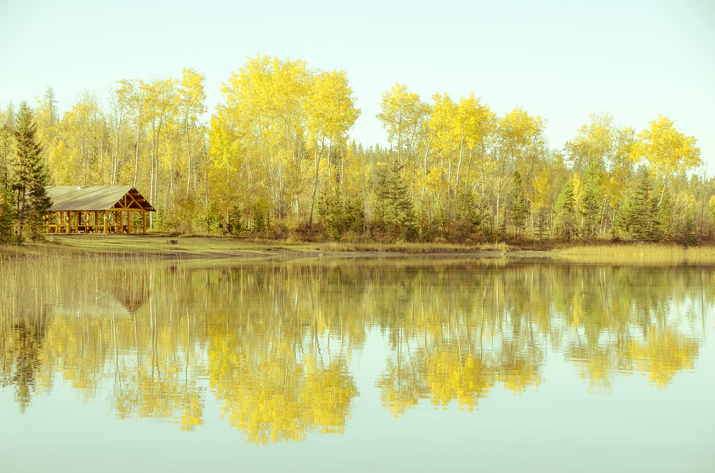
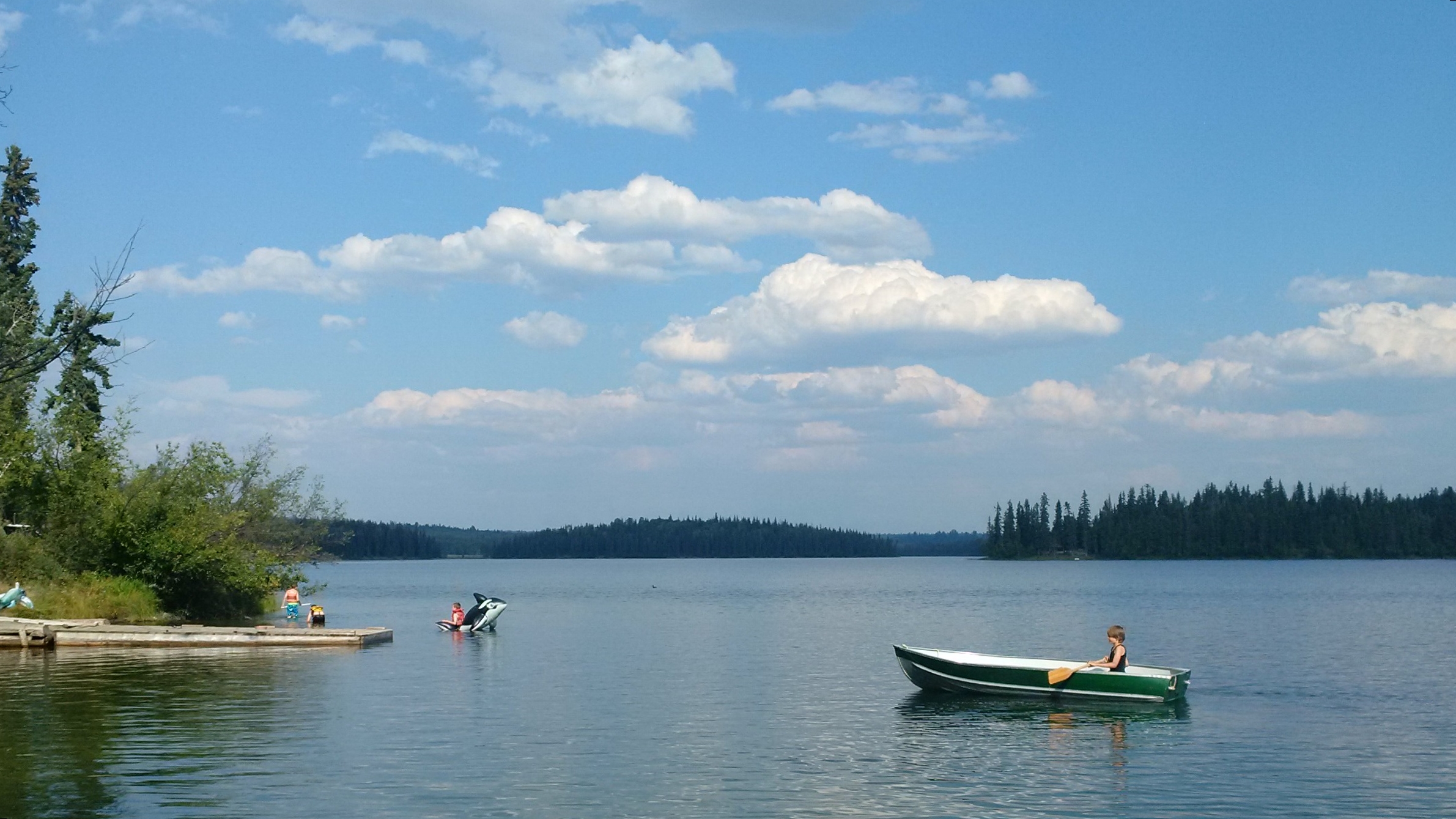
Green Lake Sunset
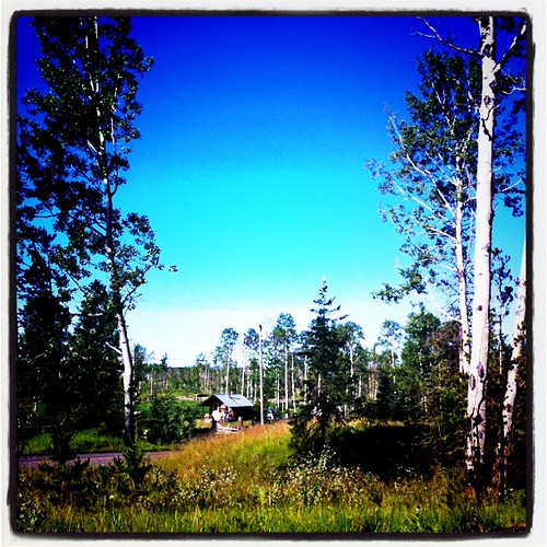
A sunny, but cool morning here. Looking forward to the Gymkhana today.
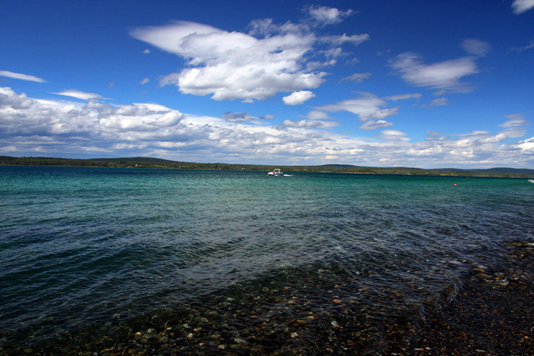
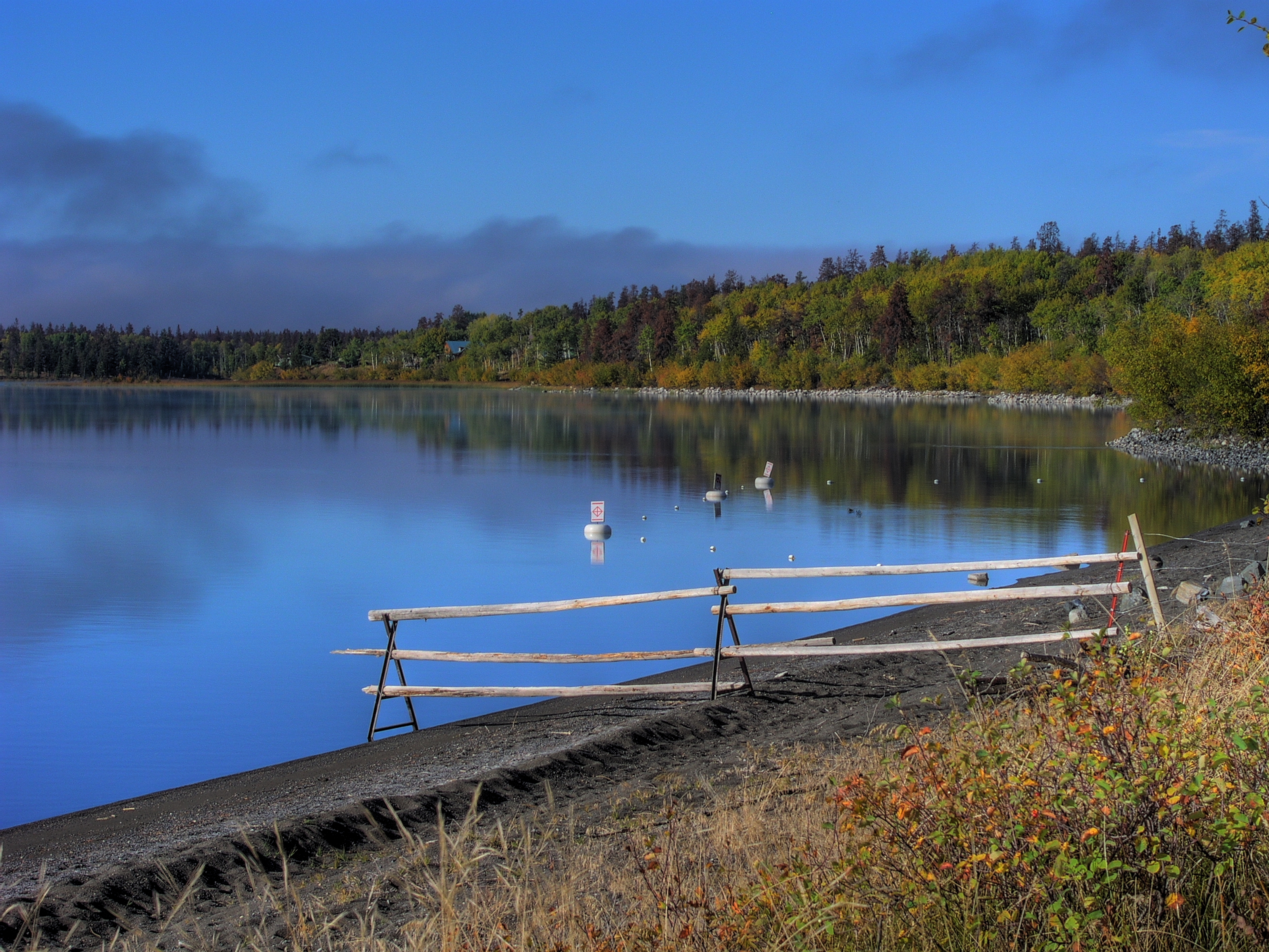
Green Lake, BC, Canada
20140823-5305-Edit
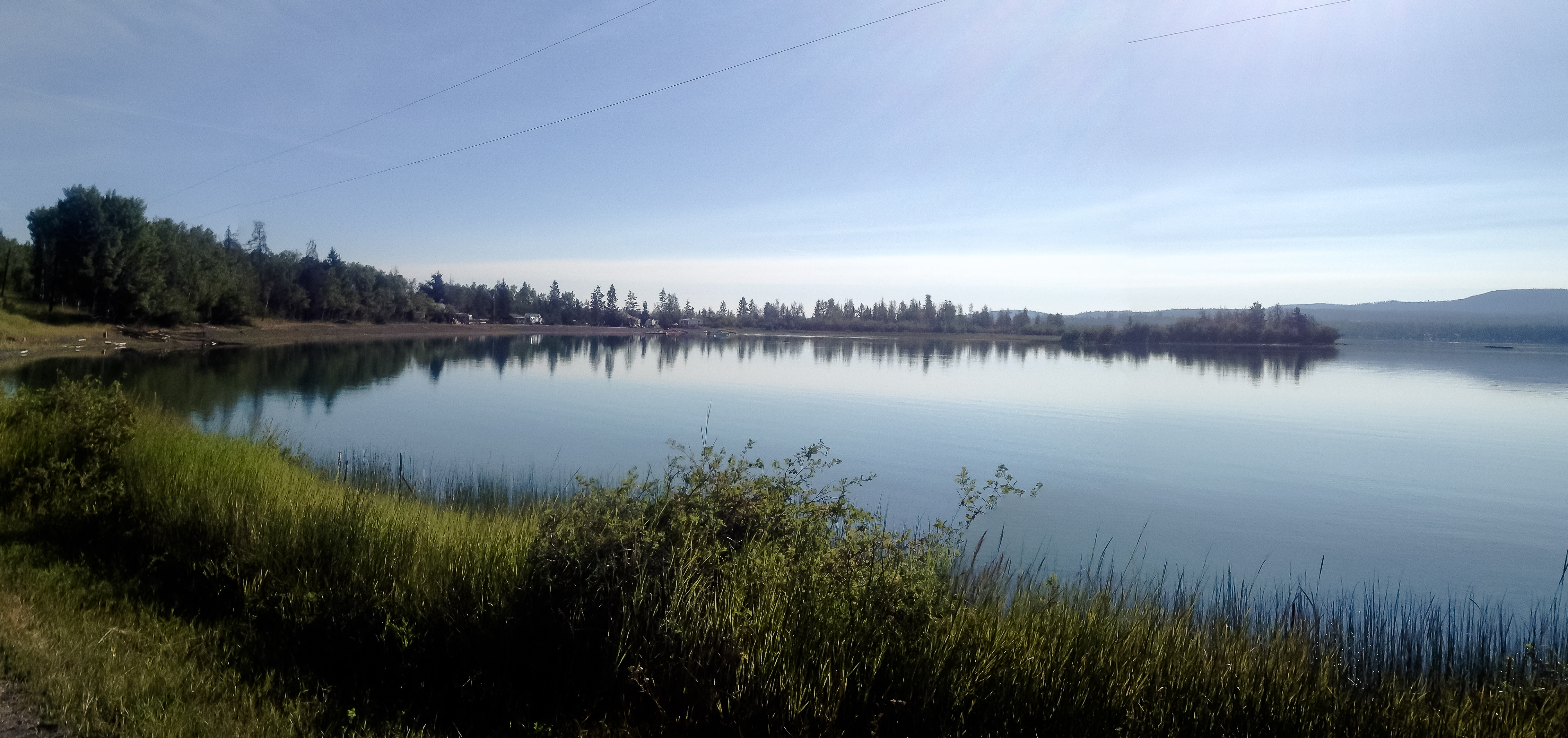
Reflecting on Green Lake
Green Lake - Early Morning
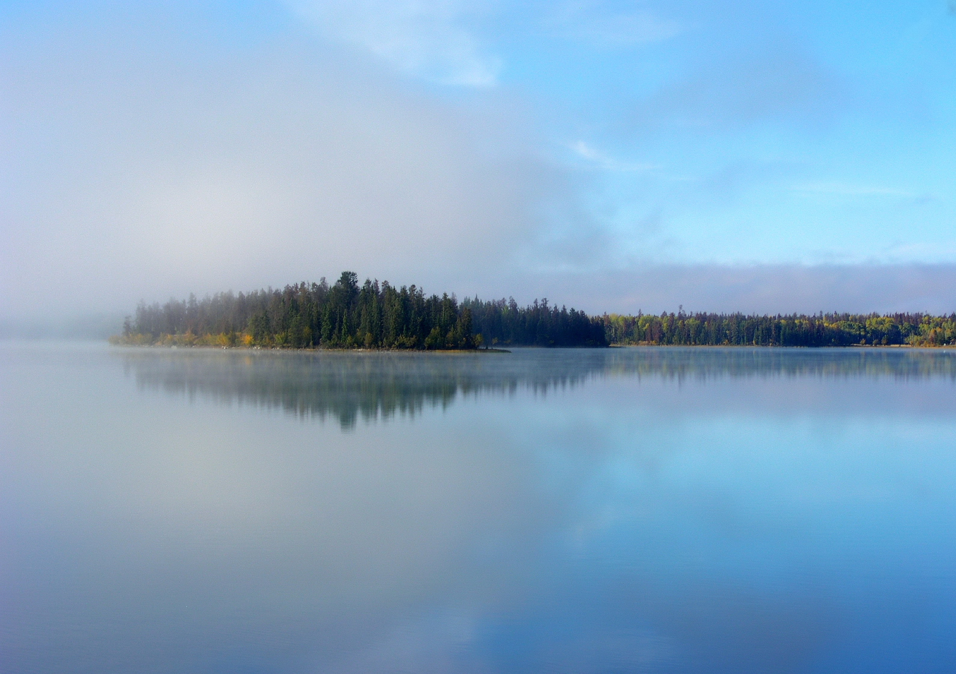
Green Lake - Early Morning
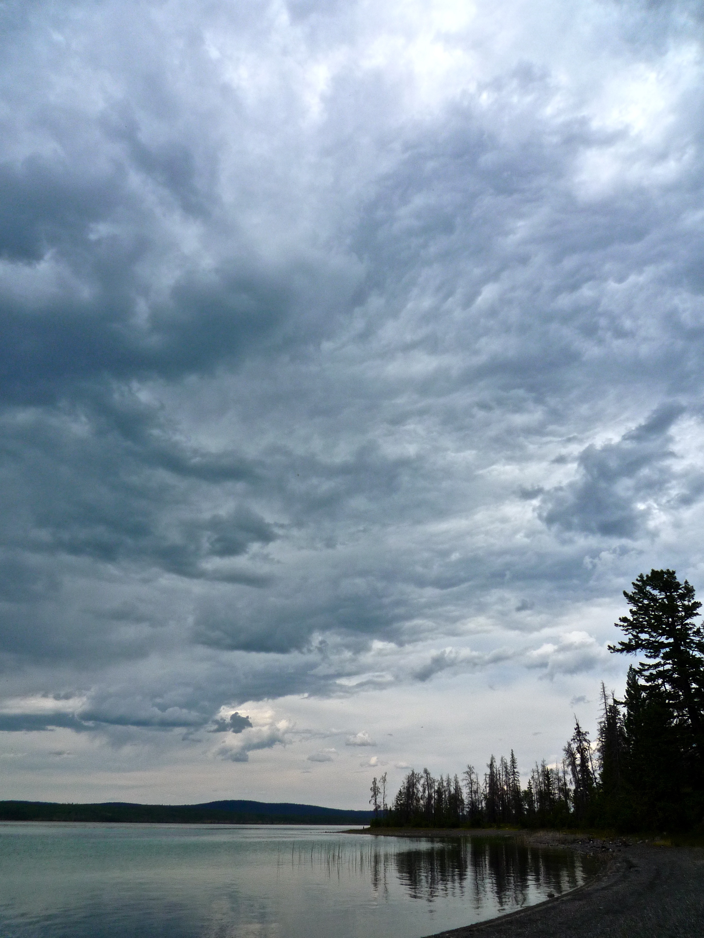
Electric Premonitions

Packing up.
Indian Sam
20150816-014
Topographic Map of 83 Mile Creek Rd, 70 Mile House, BC V0K, Canada
Find elevation by address:

Places near 83 Mile Creek Rd, 70 Mile House, BC V0K, Canada:
8038 83 Mile Creek Rd
Green Lake
8038 83 Mile Creek Rd
8038 83 Mile Creek Rd
8038 83 Mile Creek Rd
Thibert Road
Pioneer Road
3677 N Bonaparte Rd
3677 N Bonaparte Rd
70 Mile House
7003 Inman Rd
Lone Butte
6941 Inman Rd
93 Mile
7158 93 Mile Loop Rd
Watch Lake
7711 Watch Lake Rd
6801 Campbell Rd
6599 Perrey Rd
Unicorn Road
Recent Searches:
- Elevation of Corso Fratelli Cairoli, 35, Macerata MC, Italy
- Elevation of Tallevast Rd, Sarasota, FL, USA
- Elevation of 4th St E, Sonoma, CA, USA
- Elevation of Black Hollow Rd, Pennsdale, PA, USA
- Elevation of Oakland Ave, Williamsport, PA, USA
- Elevation of Pedrógão Grande, Portugal
- Elevation of Klee Dr, Martinsburg, WV, USA
- Elevation of Via Roma, Pieranica CR, Italy
- Elevation of Tavkvetili Mountain, Georgia
- Elevation of Hartfords Bluff Cir, Mt Pleasant, SC, USA